Description
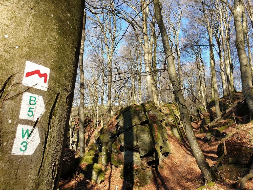
The approximately 112 km-long Mullerthal Trail consists of three loops (Route 1, Route 2, and Route 3).
Route 2 of the Mullerthal Trail can be hiked in 2 day stages and leads through the heart of Little Luxembourg Switzerland to the most spectacular rock formations in the region. It also passes the landmark of Luxembourg tourism, the Schiessentümpel – a waterfall with a small, romantic bridge.
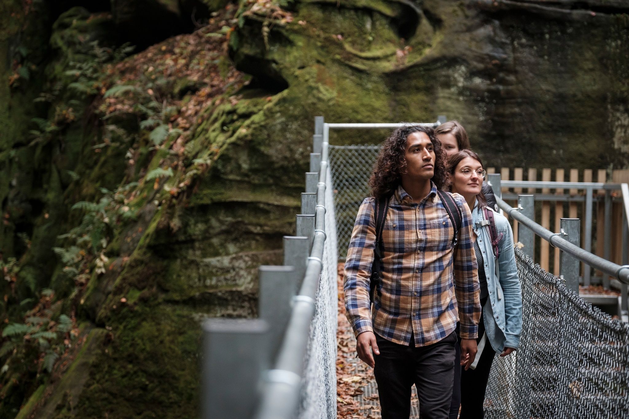
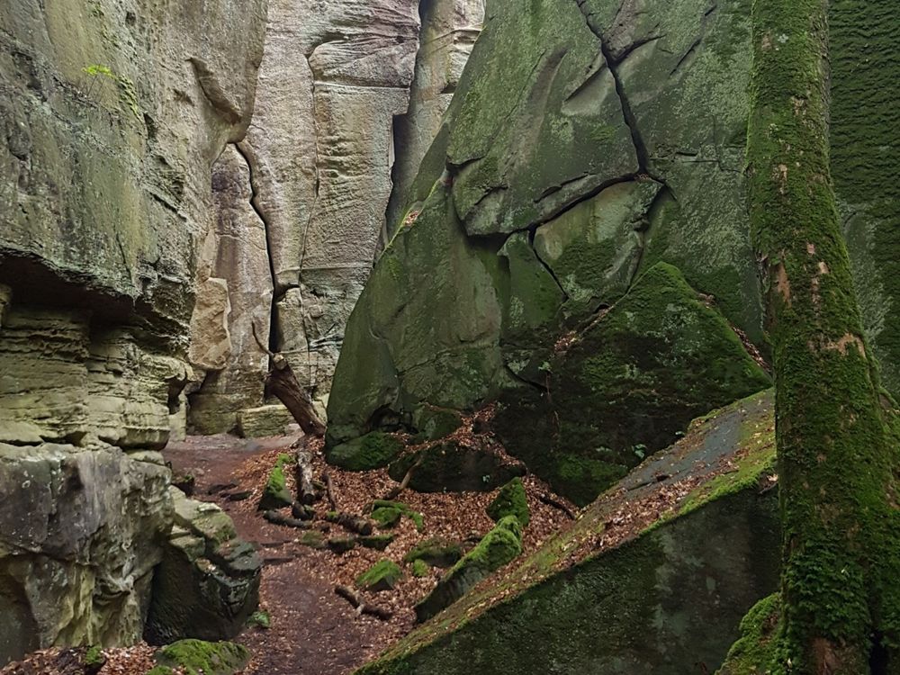
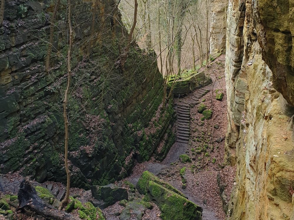
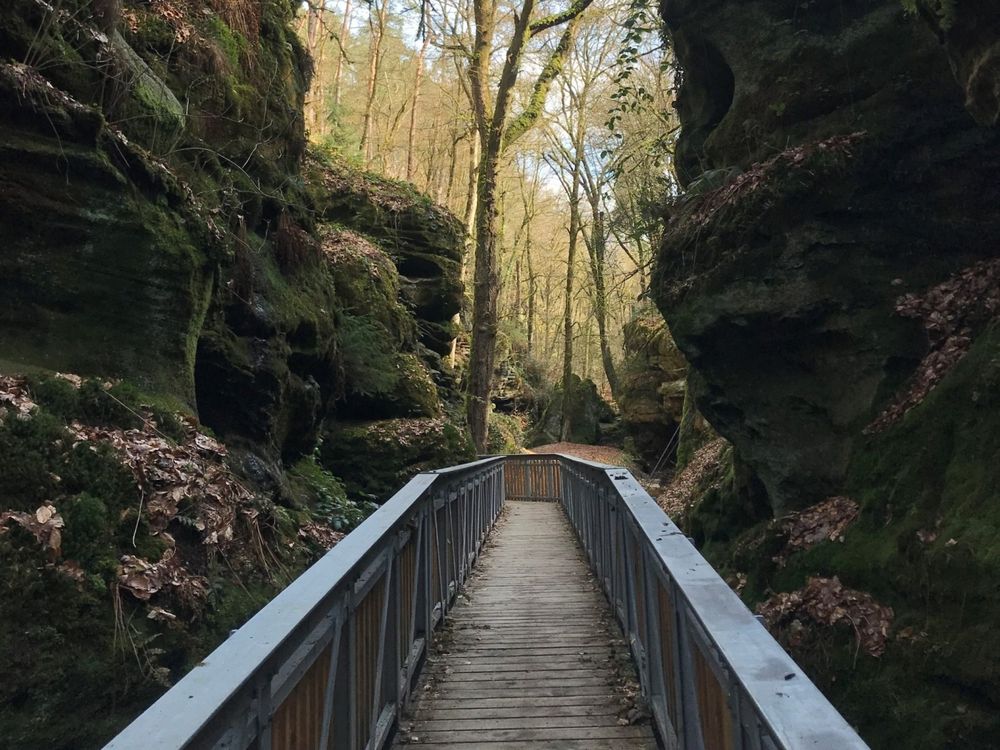
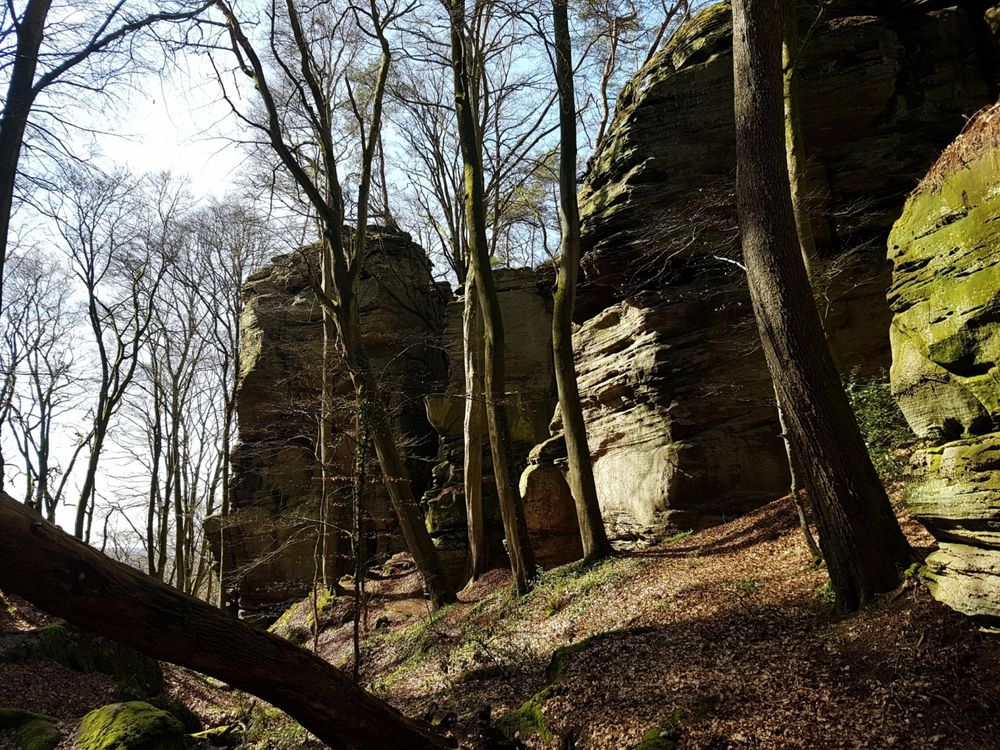
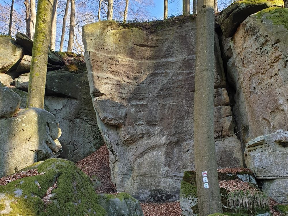
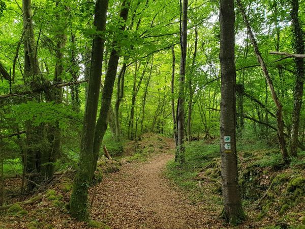
Route 2 stands for pure nature experience and adventure. Whether it is the rock landscape of Berdorf, the dark rock passage of Kuelscheier, or the legendary Wollefsschlucht – there is a lot to discover here.

Directions
Route 2 of the Mullerthal Trail can be started in Echternach – however, as with all routes, entry is also possible in other neighboring towns, e.g. in Berdorf, Scheidgen, Consdorf or Müllerthal.
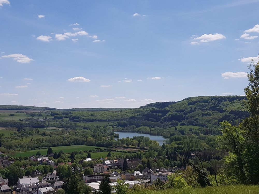
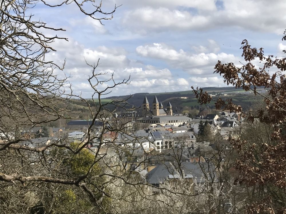
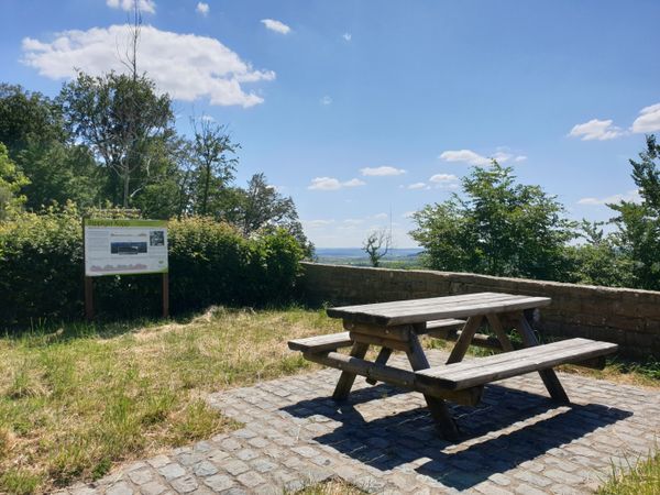
If you start Route 2 in the center of Echternach next to the basilica, you head towards Berdorf. After a short climb, you first reach a beautiful viewpoint (Trooskneppchen). From here, there is an impressive view of the town of Echternach with the St. Willibrord Basilica.
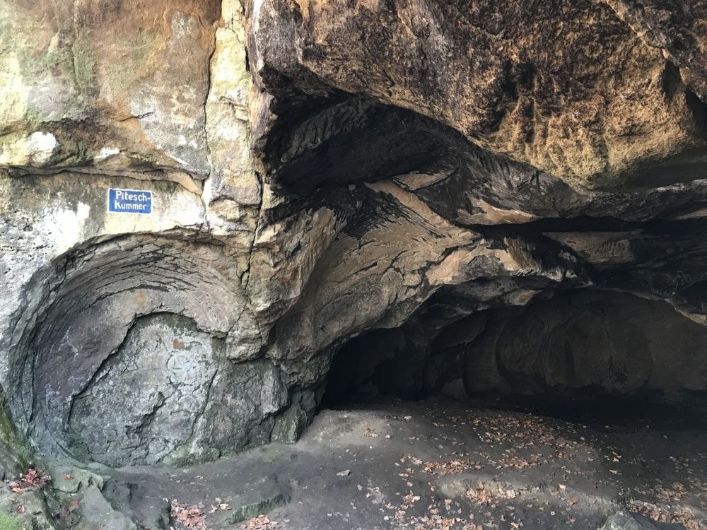
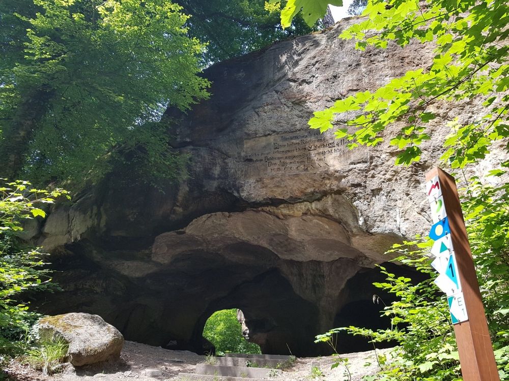
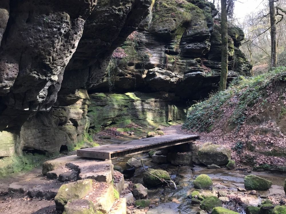
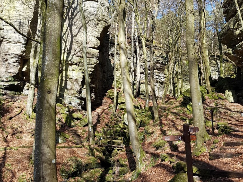
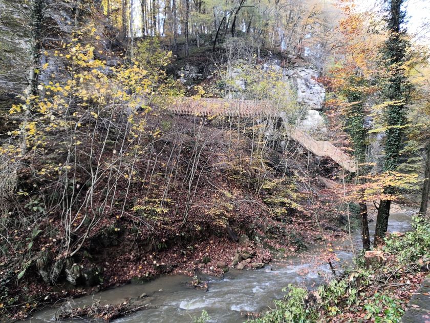
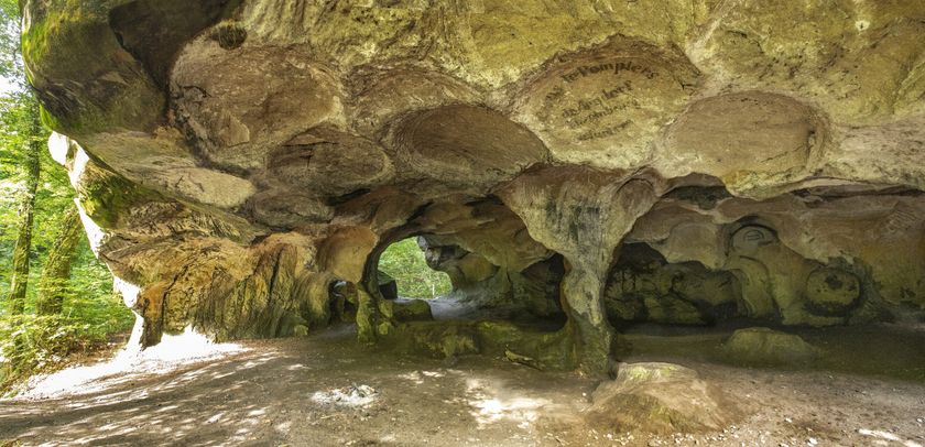
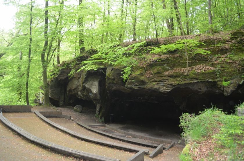
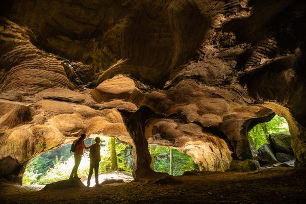
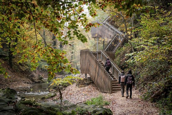
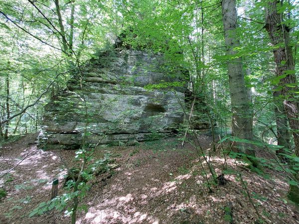
The Mullerthal Trail then continues through forest and rock landscapes to the Wollefsschlucht – a steeply descending rock fissure where wolves once found refuge. Along the Aesbach, the Mullerthal Trail passes Perekop (a large rock that can be climbed using ladders) up to the Huel Lee. Millstones for the region were previously quarried from this cave, which is still clearly visible by the circular indentations. Shortly after, you reach the amphitheater, where the milling stone quarrying also left its marks. The amphitheater is now used for various events.
The Mullerthal Trail then passes through the town of Berdorf, which is not only known for its Berdorf cheese but also for its outstanding scenic location. Surrounded by the "Berdorfer Felsen," the town lies on a high plateau and is an ideal starting point for numerous hikes and exploration routes. You can also find various places to eat here.
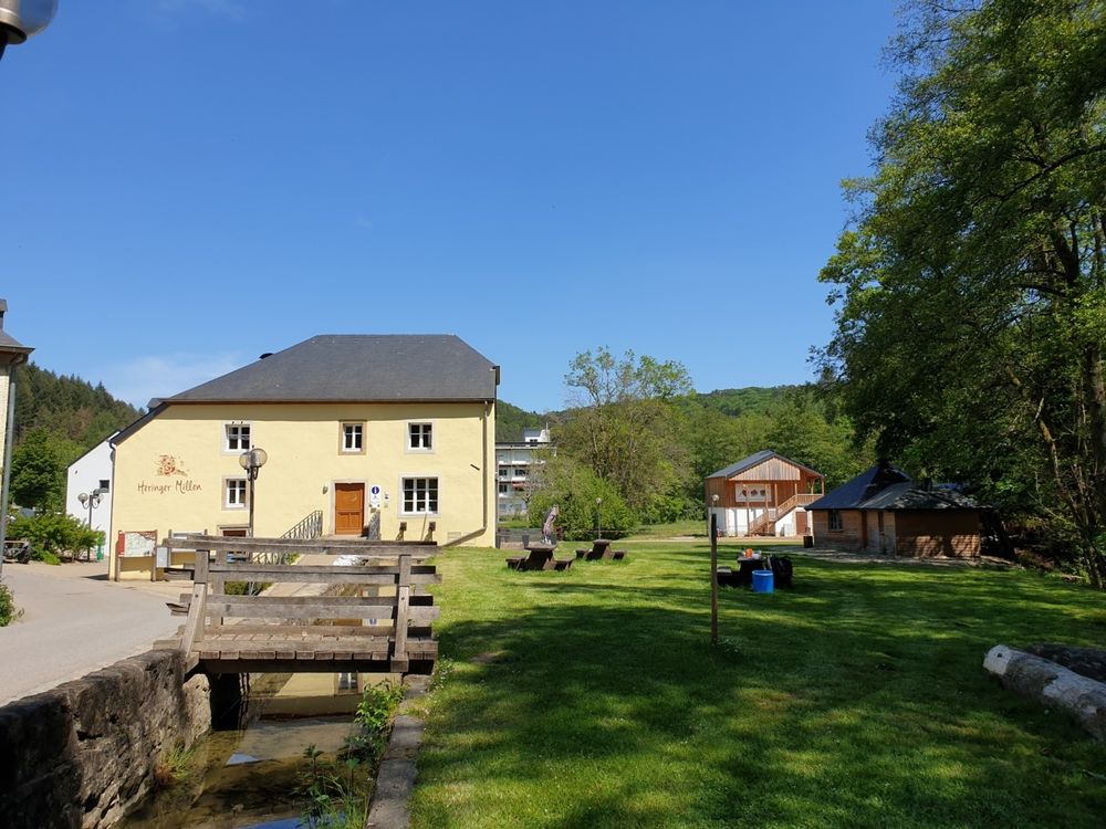
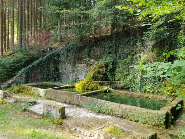
Through the idyllic Schnellert forest area, which will be designated as a nature forest reserve in the future, the trail continues to the town of Müllerthal, which was once home to one of the most important mills in the region. The Heringer Mill has been open for visits since 2009 and houses a tourist center, a Best of Hiking test center, and a restaurant. The town itself also offers places to eat.
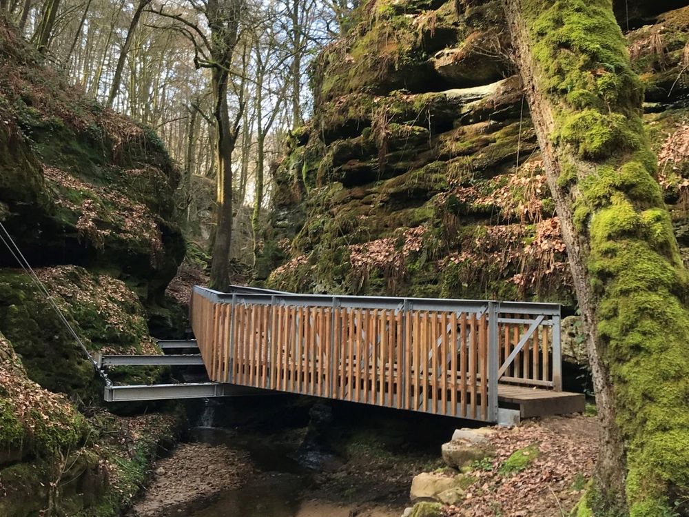
The Mullerthal Trail continues along the Schwarze Ernz river to the Schéissendëmpel, a small but very picturesque waterfall that, with its stone bridge, is a well-known landmark of the Müllerthal region – Little Luxembourg Switzerland.
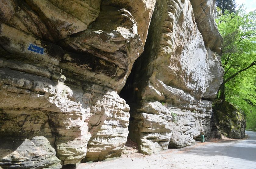
From the Schéissendëmpel, Route 2 turns east and leads along the fascinating rock formations of Eilebuerg, Goldfralee, and Goldkaul. Here it is worth spending a little time to take a closer look at the rocks. Shortly before Consdorf, the Mullerthal Trail leads to the Konsdreffer Millen, where you can eat and drink. The town of Consdorf also offers various places to eat.
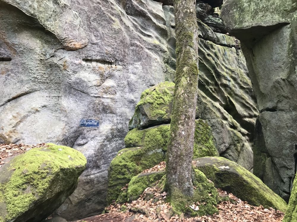
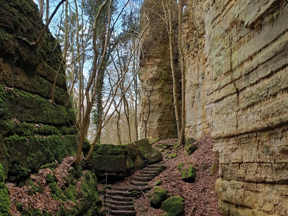
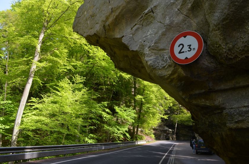
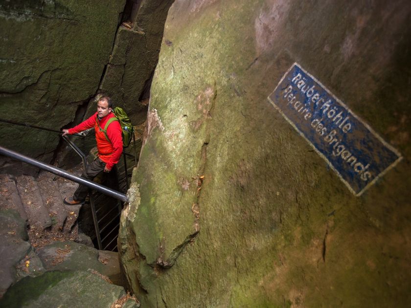
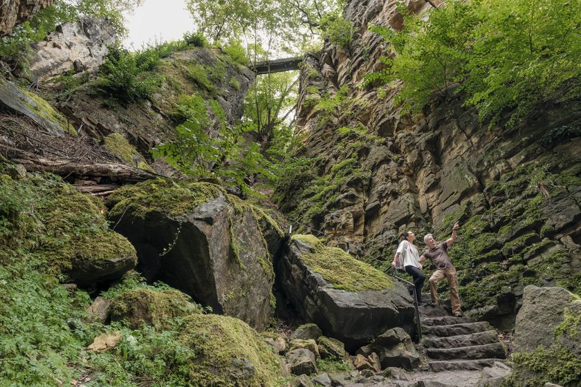
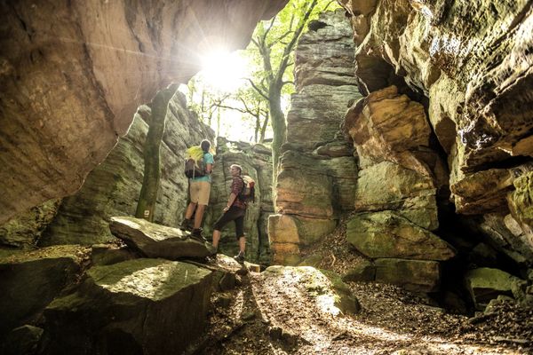
The Mullerthal Trail continues through forest and rock landscapes to one of the most spectacular rock fissures in the region: the Kuelscheier. The hiking trail runs directly through this rock fissure, which is very narrow and pitch dark. It is strongly recommended to bring a flashlight. For anyone who finds walking through the rock too adventurous or simply too tight, there is also a comfortable detour around the rock.
Around Consdorf, the Mullerthal Trail passes through a beautiful landscape section where forest, rocks, and open terrain alternate. Then the path leads through the town of Scheidgen and finally back to Echternach. There are various places to eat in Scheidgen and Echternach.
For your safety
Risk of slipping on wet rocks.
Equipment
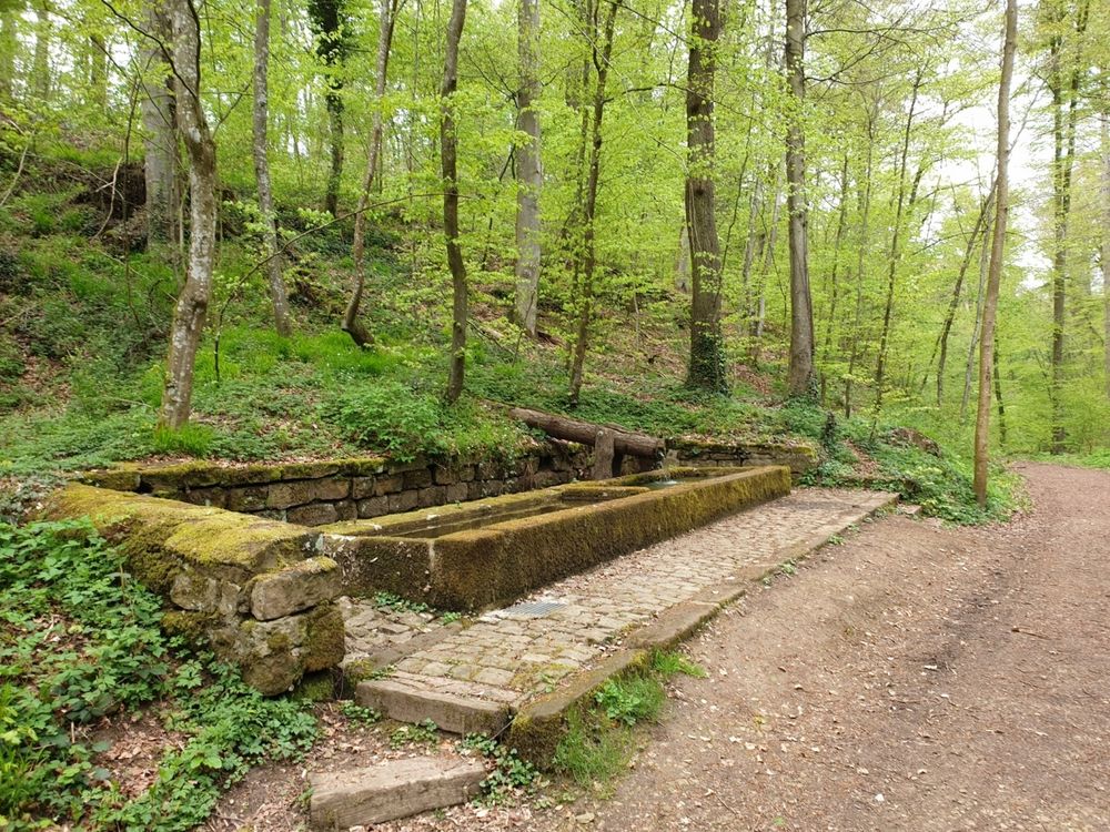
Sturdy footwear, enough water, and provisions.


 This website uses technology and content from the Outdooractive Platform.