UNESCO Global Geopark Mëllerdall

Fascination rock

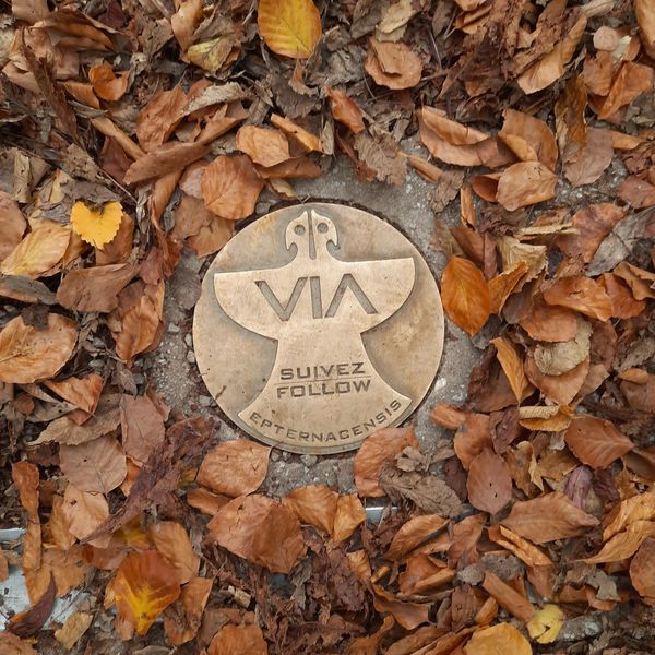
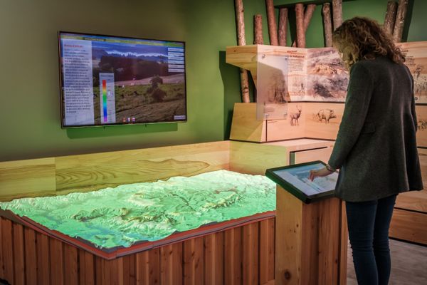
Welcome to the UNESCO Global Geopark Mëllerdall

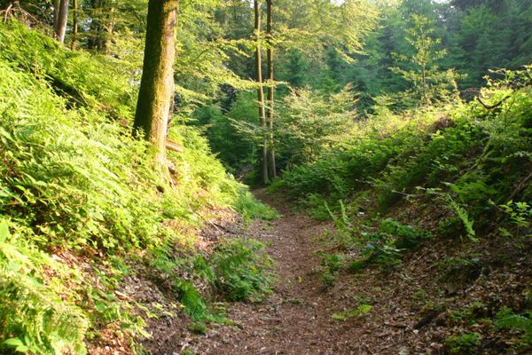
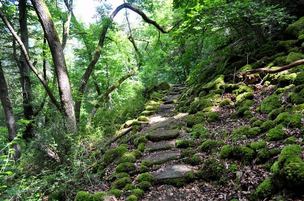
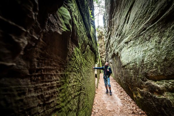
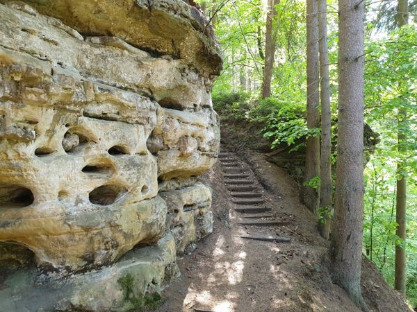
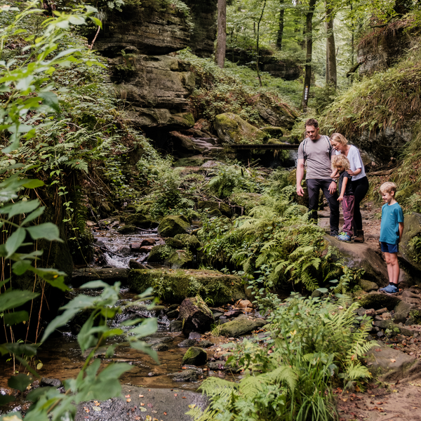
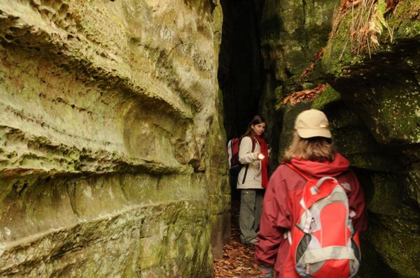
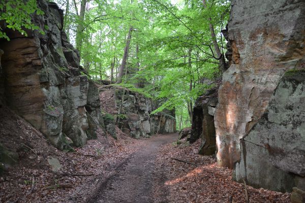
Because of the diverse, unique geological heritage of imposing sandstone cliffs with narrow clefts and deep gorges the region is something very special. Therefore, the nature park, founded in 2016, is also a Geopark to focus on the fascinating geology of the region. The combination of Nature and Geopark speaks for the special importance and protection requirement of the landscape which should be preserved for future generations. The different aspects of nature such as plants, animals, rocks and water as well as their use by humans are brought together here. Since 2022, the Natur- & Geopark Mëllerdall is part of the international networks of the UNESCO Global Geoparks.

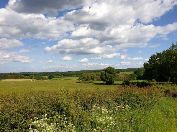
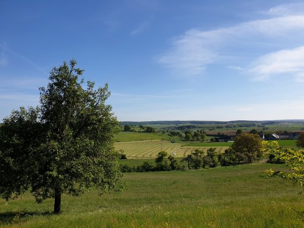
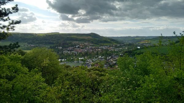
The Natur- & Geopark Mëllerdall is located in the east of the Grand Duchy on the border with Germany and covers an area of ​​256 km² with about 26,000 inhabitants in the eleven municipalities Beaufort, Bech, Berdorf, Consdorf, Echternach, Fischbach, Heffingen, Larochette, Nommern, Rosport-Mompach and Waldbillig. Its name "Mëllerdall" – valley of the mills - was given to the Natur- & Geopark due to the numerous mills along the Sûre, the Black Ernz and other streams.

www.naturpark-mellerdall.lu

Geological highlights

Discover the stunning geological highlights of the Mullerthal Region, where ancient sandstone and dolomite rock formations tell the captivating story of Earth's history.

What is an UNSECO Global Geopark?

Discover the Naturpark Mëllerdall, a UNESCO Global Geopark celebrated for its unique geological heritage, stunning landscapes, and sustainable development initiatives.

Geoparks network

Since 2022, the Natur- & Geopark Mëllerdall has been recognized as a UNESCO Global Geopark, joining 195 other geoparks worldwide in promoting cooperation, sharing expertise, and advancing sustainable development.

Find out more

Hiking in the UNESCO Global Geopark

13 results
© Visit Luxembourg
Thematic paths
Well-Being Trail - Nommern
Distance: 4,35 km
Duration: 1:22 h
Difficulty: easy
Find out more
© ORT MPSL, Visit Luxembourg
Circular routes
Local hiking trail - R8
Distance: 8,72 km
Duration: 2:32 h
Difficulty: medium
Find out more
© Pancake! Photographie
Geolandscape "Wanterbaach-Siweschlëff"
Explore the impressive rock labyrinth amid steep rocky gorges.
Find out more
Thematic paths
Cultural walk "Via Epternacensis Echternach"
Distance: 3,66 km
Duration: 2:00 h
Difficulty: easy
Find out more
© Visit Luxembourg
Thematic paths
Bee Trail between Waldbillig and Christnach
Distance: 4,00 km
Duration: 1:30 h
Difficulty: easy
Find out more
© Visit Luxembourg
Circular routes
Local hiking trail - F2
Distance: 4,10 km
Duration: 1:13 h
Difficulty: easy
Find out more

Exhibition on the theme of geology

1 results
© Pancake! Photographie
Geo-Expo
Exhibition about the genesis of the Mëllerdall landscape and its unique cultural and natural heritage.
Find out more

Guided tours

6 results
© ORTMPSL
Guided tour
Adventure Kuelscheier Consdorf - kids
Guided tour
Raiberhiel Berdorf
  • Guided tour
© ORTMPSL
Guided tour
Adventure Kuelscheier Consdorf
Guided tour
Hike Mullerthal Region à la carte
  • Guided hike with official guide
© Visit Moselle
Guided tour
Geological hike Hëlt Rosport
© ORTMPSL
Guided tour
Mensch und Stein Beaufort

Activities in the Mullerthal Region

2 results
Tour suggestion
Mullerthal Touring - Large Geopark Tour
Find out more
Tour suggestion
Mullerthal Touring - Small Geopark Tour
Find out more