Circular routes Visit Luxembourg
Description
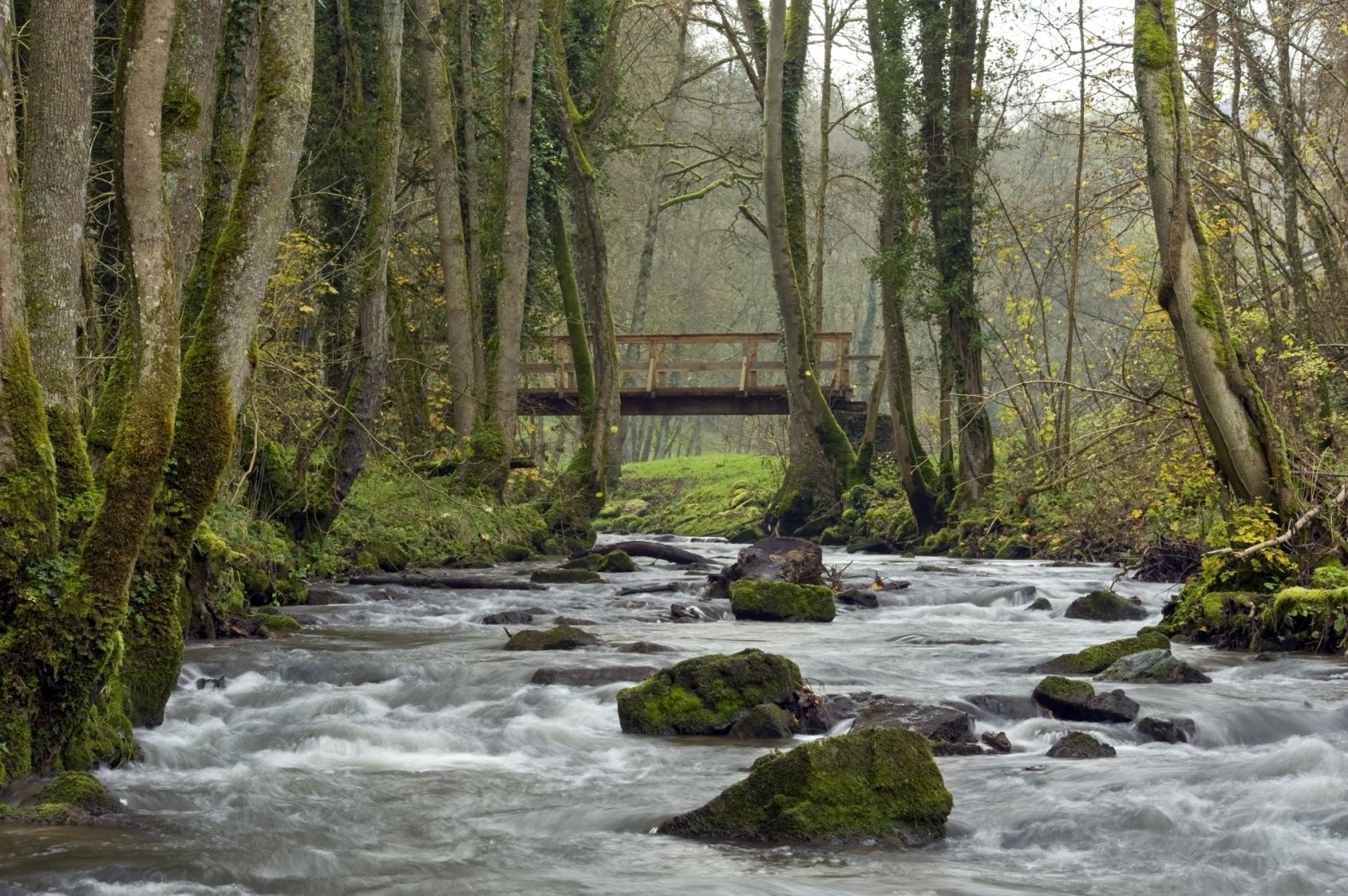
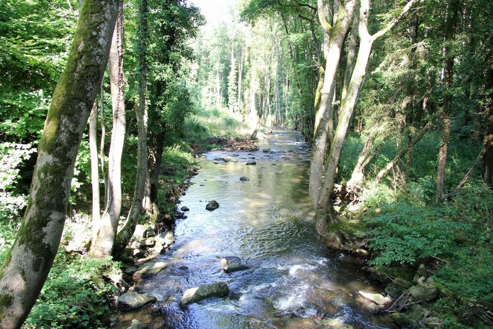
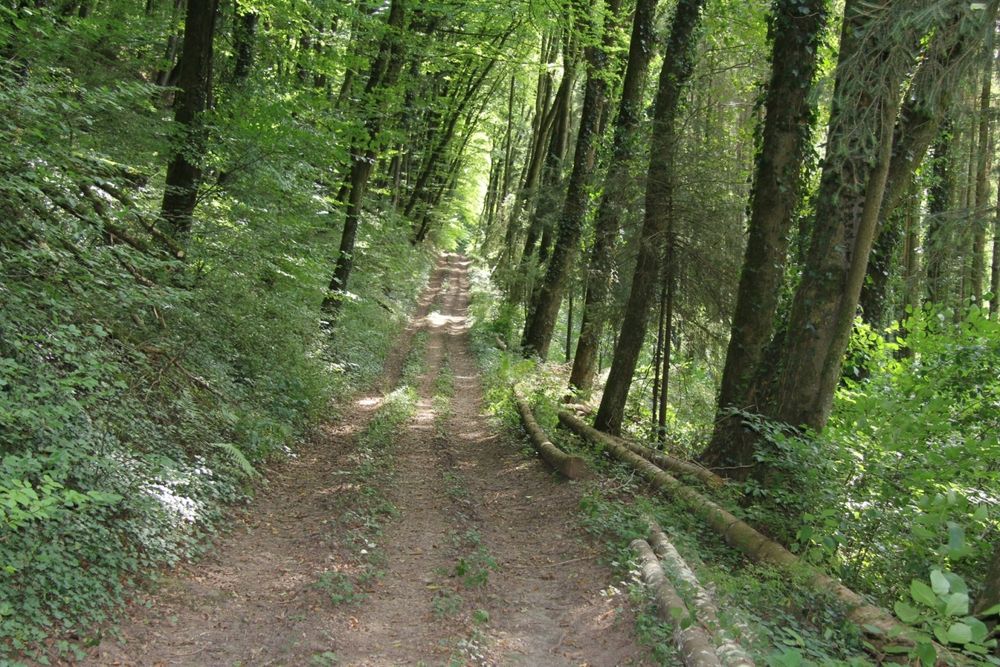
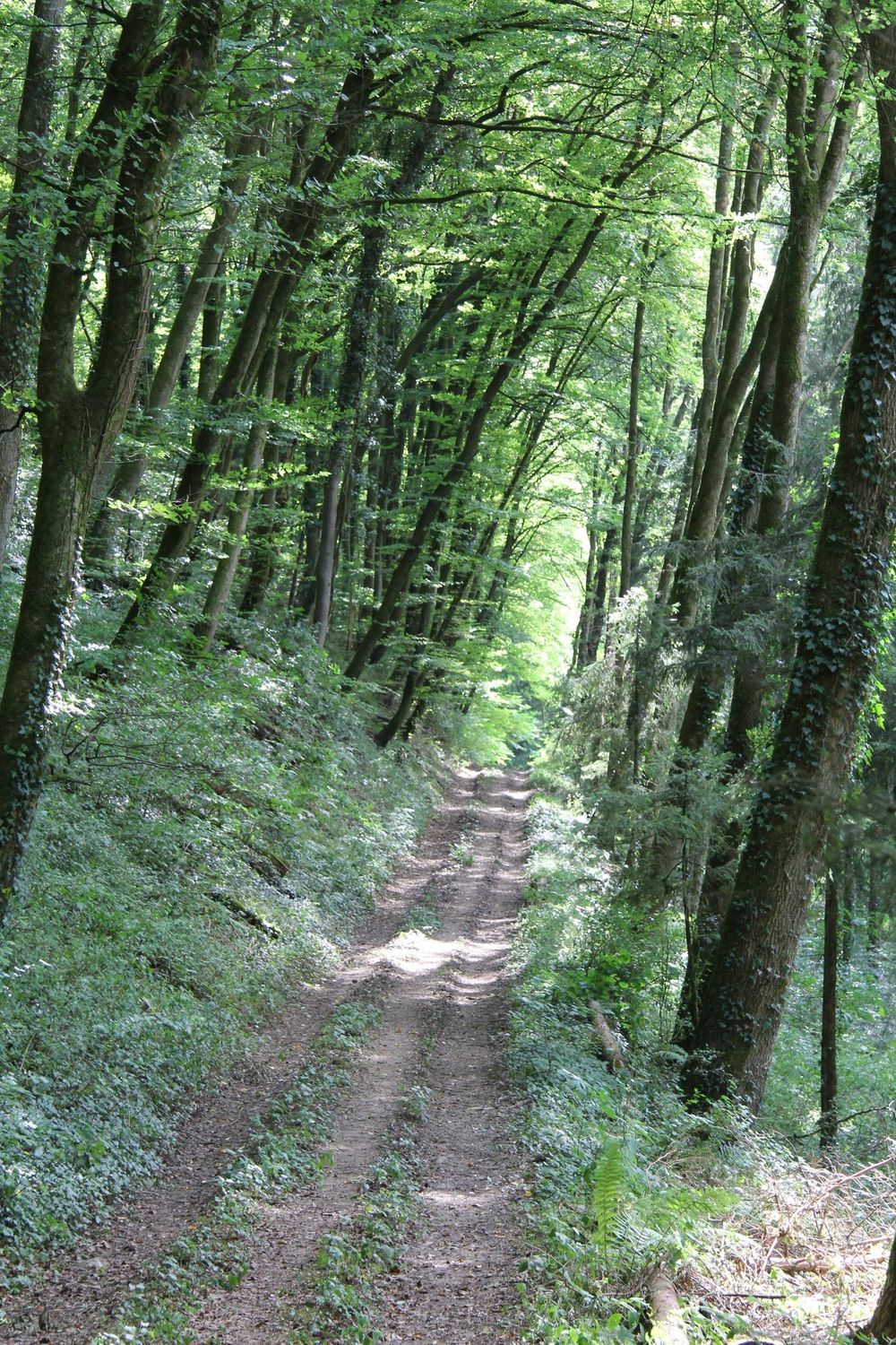
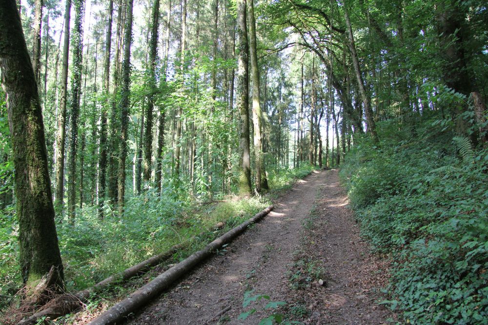
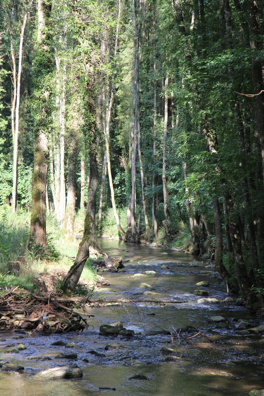
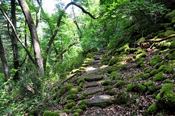
Short circular hiking route mostly on natural paths along the babbling stream Weiße Ernz.
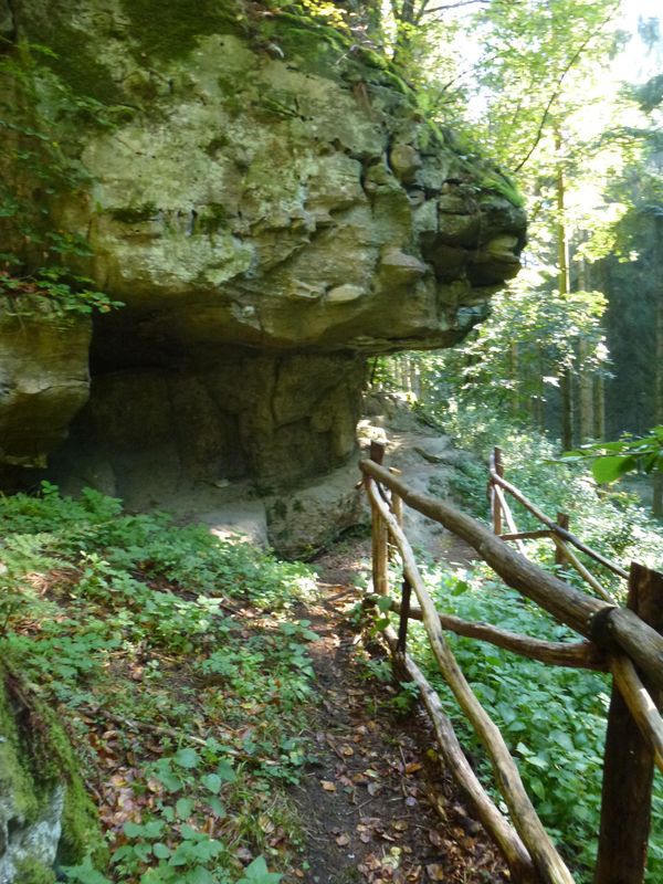
On the south slope of Mount Koop, the path leads up the valley slope. The way down goes through dense forest to the footbridge over the roaring Weiße Ernz. The return to Reisdorf passes two former watermills.
Equipment
Sturdy footwear and something to drink.
Journey
Public transport:
Parking:
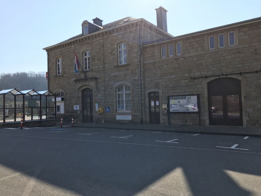
Nearest bus stop: Reisdorf, Bei der Gare (250 m)
Parking:
Nearest parking: Op der Gare (100 m)


 This website uses technology and content from the Outdooractive Platform.