© Visit Luxembourg
Müllerthal Germany France

Local hiking trail - M2

Starting point
Givenich
Destination
Givenich
Distance
4,97 km
Duration
1:20 h
Difficulty
easy
  • Condition
Highest point
354 Hm
Lowest point
290 Hm
Aggregated Ascent
65 Hm
Aggregated Descent
65 Hm
Circular routes Visit Luxembourg

Description

Scenic
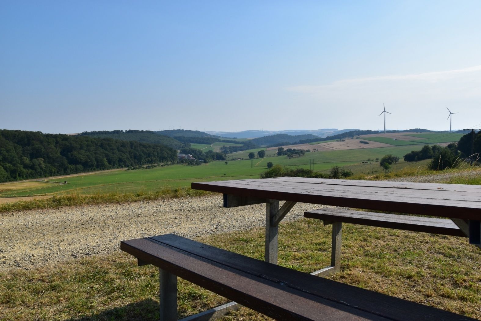
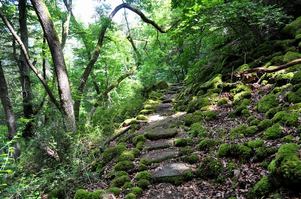
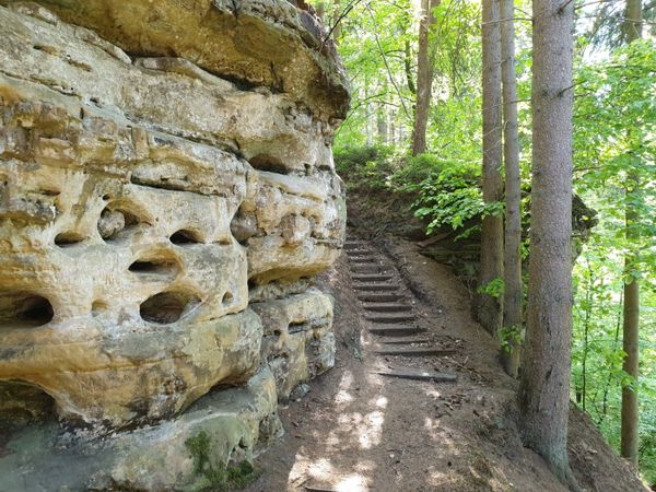
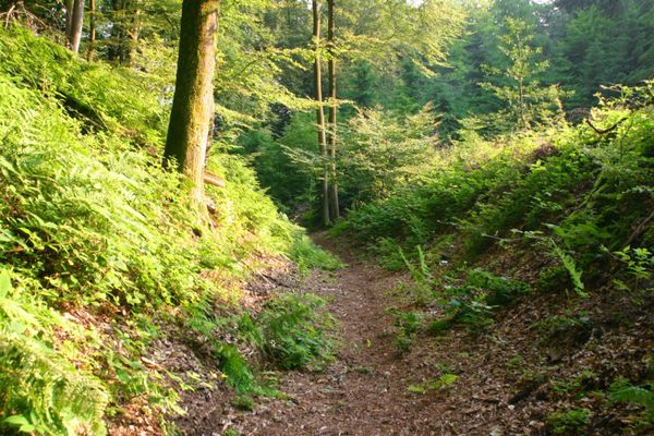
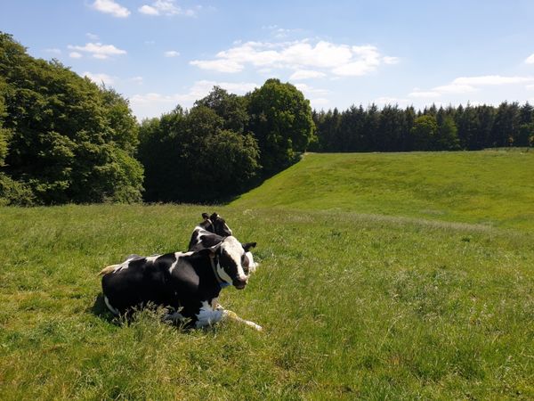
Easy hike over the plateau. Starting point in Givenich & beautiful views.

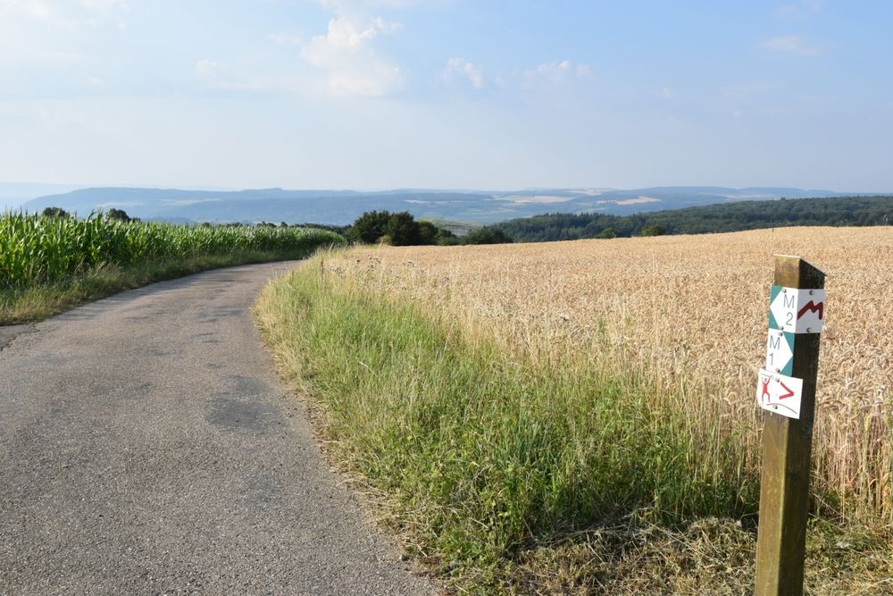
In Givenich starts the hike, which has only little gradient and is therefore particularly suitable for families with small children.

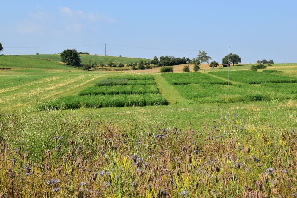
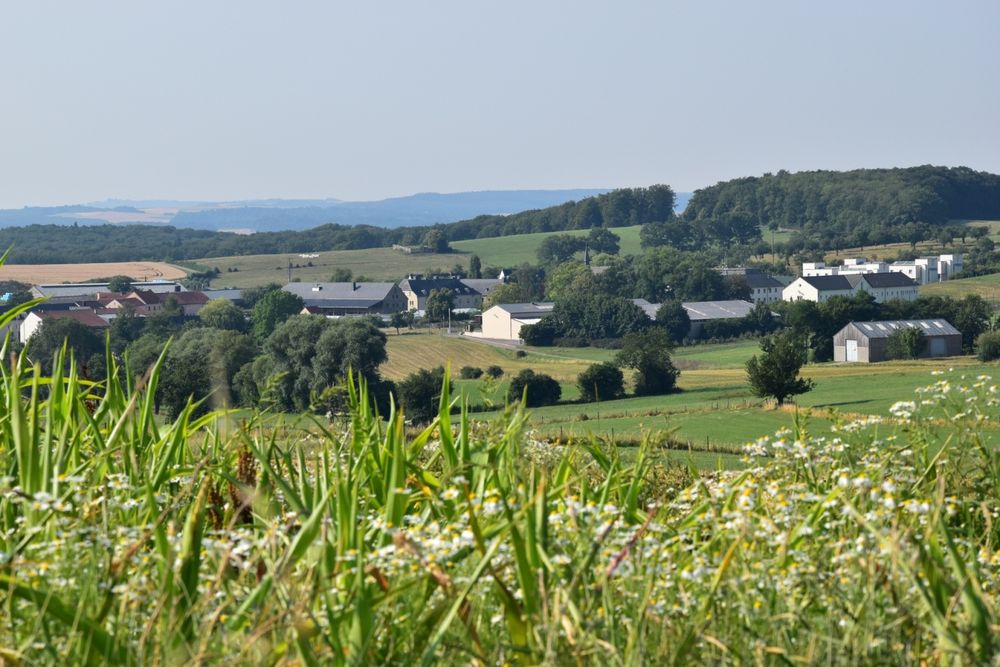
The hike leads over the Burer Bierg, where you can enjoy the beautiful view of the small hamlet of Boursdorf and the famous pilgrimage chapel Girsterklaus.

You enjoy great views as far as neighboring Germany and then get back to Givenich.
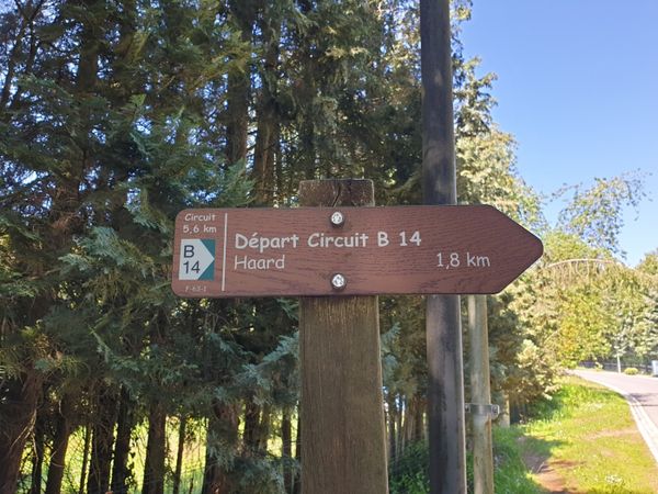
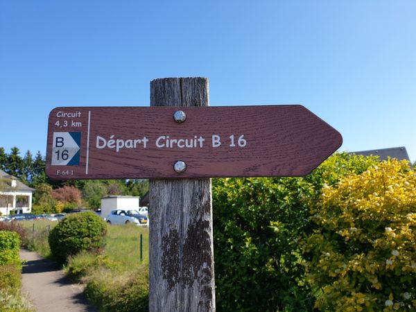
Please make sure to enable your Cookies in case you don't see this content.

Similar hiking tours

© Visit Luxembourg
Thematic paths
Bee Trail between Waldbillig and Christnach
Distance: 4,00 km
Duration: 1:30 h
Difficulty: easy
Find out more
Thematic paths
Cultural walk "Via Epternacensis Echternach"
Distance: 3,66 km
Duration: 2:00 h
Difficulty: easy
Find out more
© Visit Luxembourg
Thematic paths
Cultural walk Rosport "In the footsteps of the Tudors"
Distance: 2,35 km
Duration: 1:00 h
Difficulty: easy
Find out more
© Visit Luxembourg
Thematic paths
Hiking Trail for kids 'On the tracks of Charly'
Distance: 5,19 km
Duration: 1:30 h
Difficulty: easy
Find out more
© Visit Luxembourg
Thematic paths
Ierelchen Echternach - Hiking trail - Accessible to almost all
Distance: 3,68 km
Duration: 0:58 h
Difficulty: easy
Find out more
© Visit Luxembourg
Circular routes
Local hiking trail - B14
Distance: 5,31 km
Duration: 1:25 h
Difficulty: easy
Find out more
© Visit Luxembourg
Circular routes
Local hiking trail - B15
Distance: 6,07 km
Duration: 1:33 h
Difficulty: easy
Find out more
© Visit Luxembourg
Circular routes
Local hiking trail - B16
Distance: 4,32 km
Duration: 1:05 h
Difficulty: easy
Find out more
© Visit Luxembourg
Circular routes
Local hiking trail - B3
Distance: 3,77 km
Duration: 1:02 h
Difficulty: easy
Find out more