© Visit Luxembourg
Müllerthal Germany France

Local hiking route - C7

Hunting Season 2025/26 — Check for hunts

Autumn is here, and that means hunting season has begun! From mid-October to January/February, hunters are active across the country. Stay safe by checking hunt dates in your area on our Map. 

Click on Map in the Header > Services > More > Hunting.

Starting point

Scheidgen: Church

Destination

Scheidgen: Church

Distance
6,83 km
Duration
1:45 h
Difficulty
easy
  • Condition
Highest point
362 Hm
Lowest point
299 Hm
Aggregated Ascent
80 Hm
Aggregated Descent
80 Hm
Circular routes Visit Luxembourg

Description

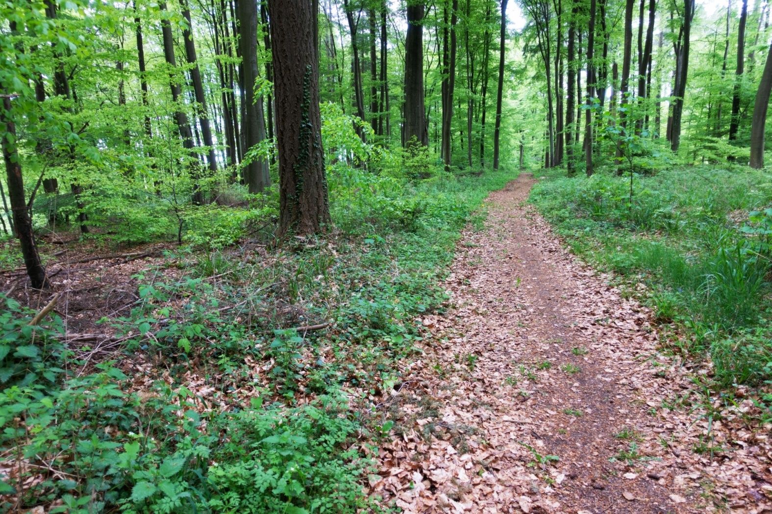
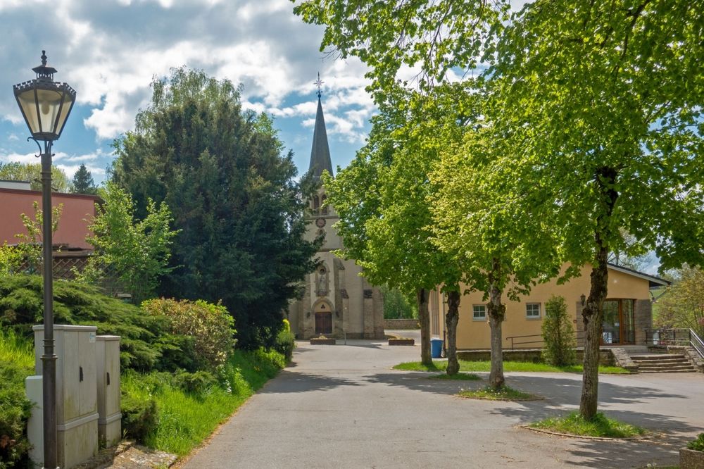
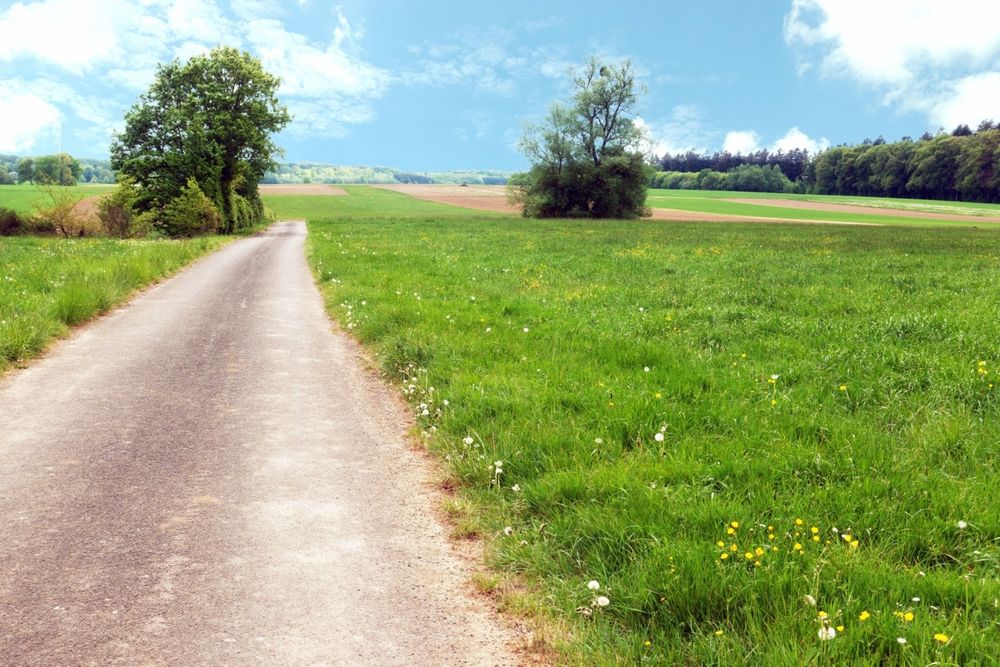
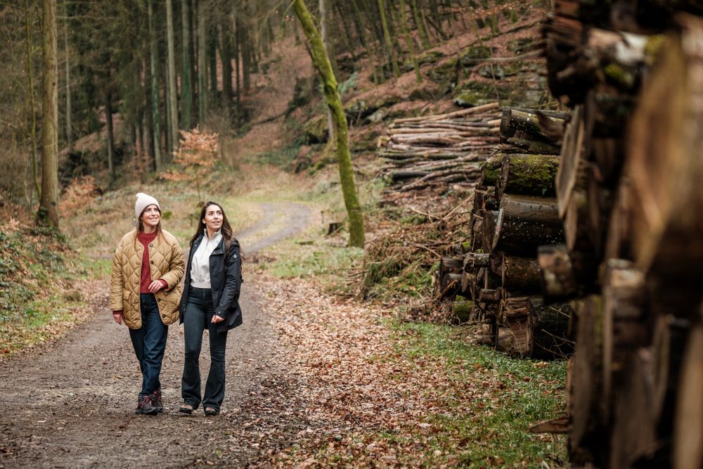
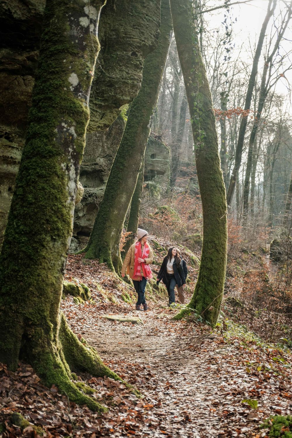
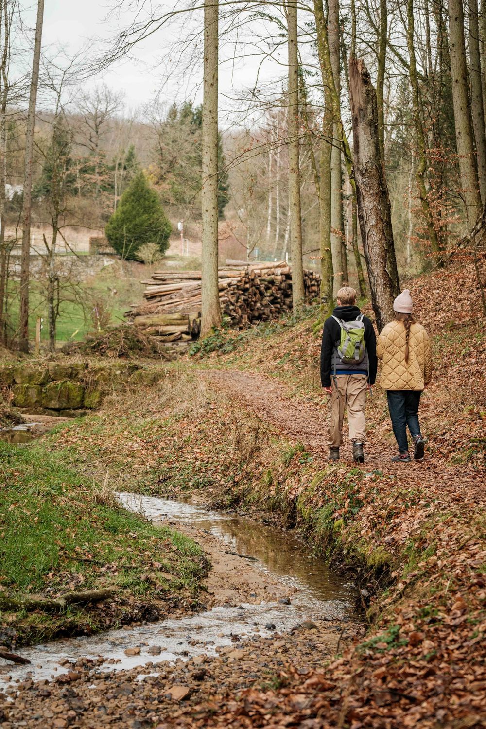
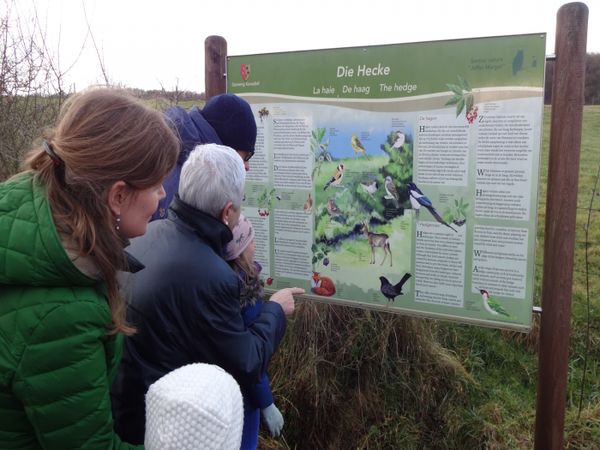
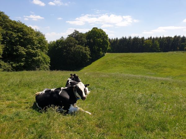
Easy route through an agricultural landscape and a typical Luxembourgish village.

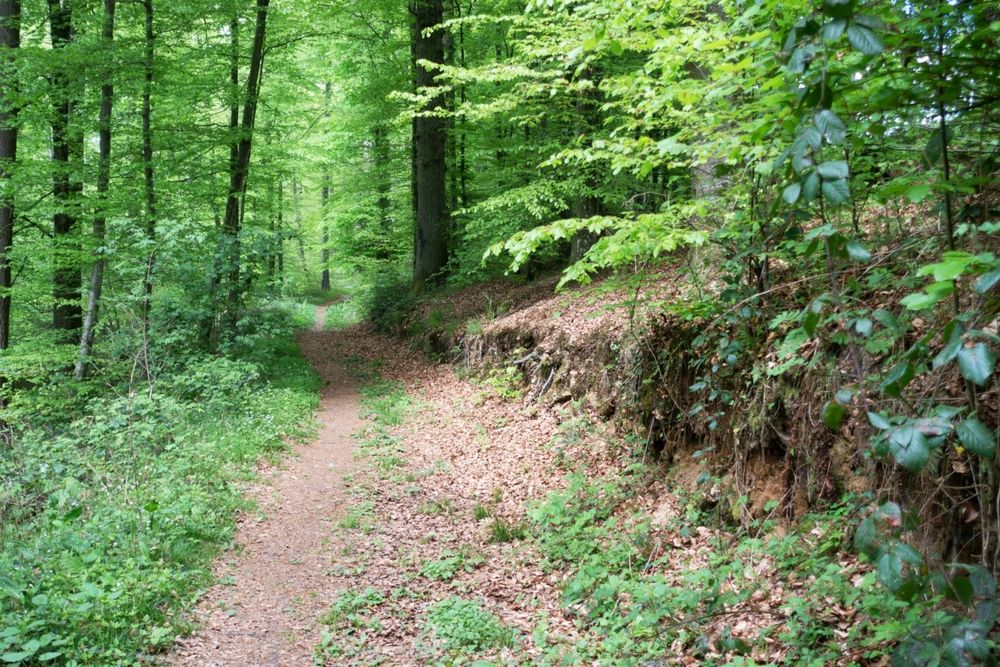
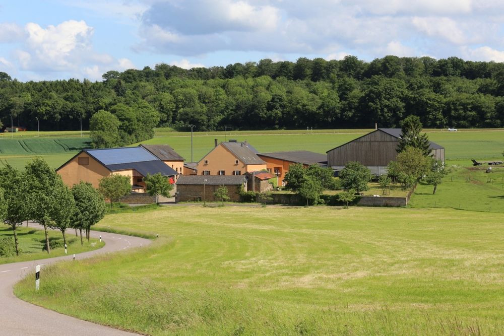
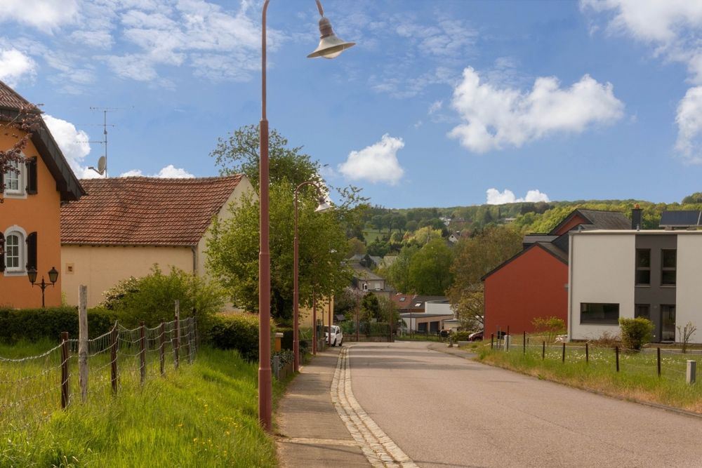
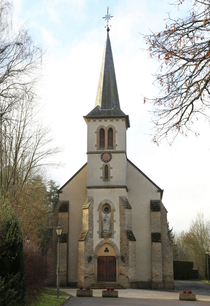
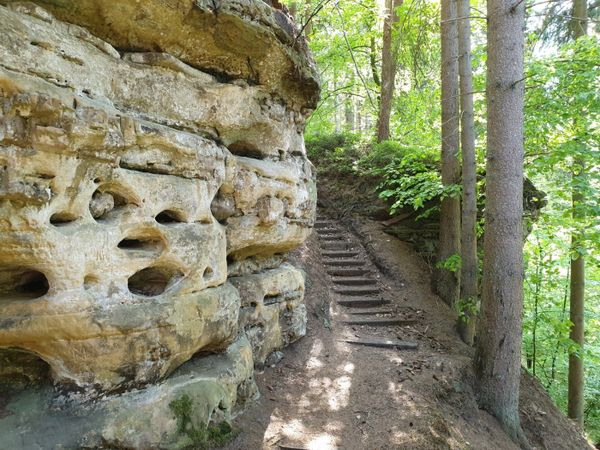
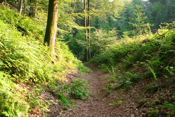
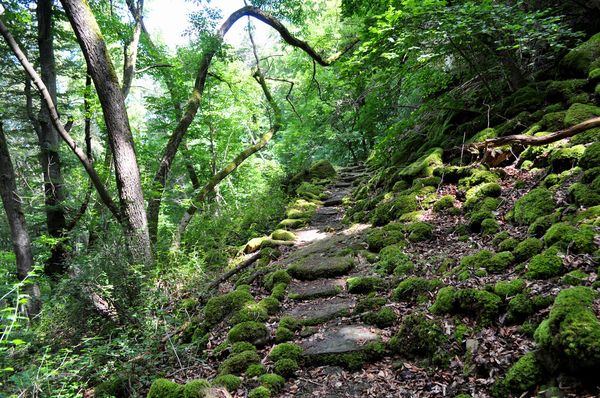
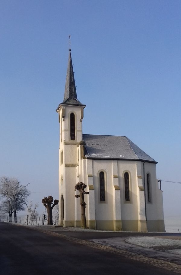
This easy route gives insight into the relatively young village of Scheidgen, whose origins go back to the 18th century. Apart from a forest path of just under two kilometers, which can be bypassed by a shortcut, this route runs on firm ground. Sidewalks and field paths are mostly paved or have a surface made of gravel. Characteristic is an open, well-maintained, agriculturally shaped landscape. Harmoniously set within it lies the Alroudeschhaff farm. From here you walk back to the village and the starting point along the edge of a little-used country road.
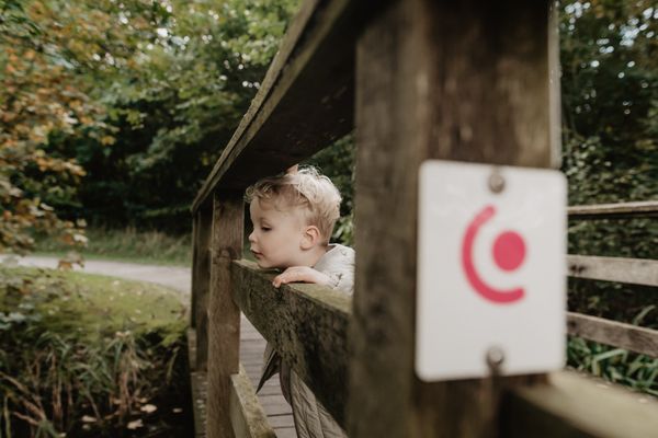
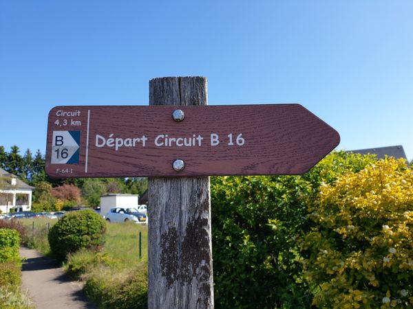
Suggestions nearby

Local hiking route - C7

  • © Restaurant Grill Bon Repos
    Restaurant Grill Bon Repos
    Restaurant Grill Bon Repos
    Find out more

Similar hiking tours

© Visit Luxembourg
Thematic paths
Honeybee educational trail between Waldbillig and Christnach
Distance: 4,00 km
Duration: 1:30 h
Difficulty: easy
Find out more
© Visit Luxembourg
Thematic paths
Well-Being Trail - Nommern
Distance: 4,35 km
Duration: 1:22 h
Difficulty: easy
Find out more
© Visit Luxembourg
Circular routes
Local hiking trail - F1
Distance: 5,26 km
Duration: 1:35 h
Difficulty: easy
Find out more
© Visit Luxembourg
Circular routes
Local hiking trail - F3
Distance: 2,69 km
Duration: 0:50 h
Difficulty: easy
Find out more
© (c) NGPM Elisabeth Medinger, (c) NGPM Elisabeth Medinger
Thematic paths
Geo-Pad Hëlt
Distance: 4,23 km
Duration: 1:30 h
Difficulty: easy
Find out more
© Jeniska photography, Visit Luxembourg
Comfort hiking trail Echternach Lake
Distance: 3,25 km
Duration: 1:15 h
Difficulty: easy
Find out more
© Visit Luxembourg
Circular routes
Local hiking trail - E9
Distance: 6,32 km
Duration: 1:43 h
Difficulty: easy
Find out more
© Unknown
Circular routes
Local hiking trail - E5
Distance: 6,33 km
Duration: 1:40 h
Difficulty: easy
Find out more
© Visit Luxembourg
Circular routes
Local hiking trail - B3
Distance: 3,77 km
Duration: 1:02 h
Difficulty: easy
Find out more
outdooractive This website uses technology and content from the Outdooractive Platform.