Description
Cross-border, waterside hiking route, where you cross the Sauer River over the ancient Alfred-Töpfer Bridge in Weilerbach and walk along beautiful paths by the Sauer.
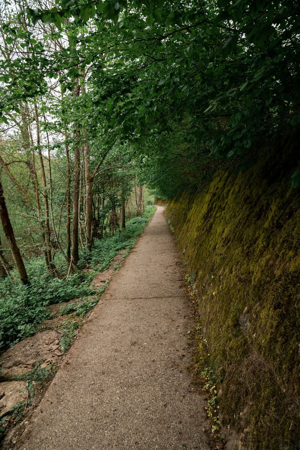
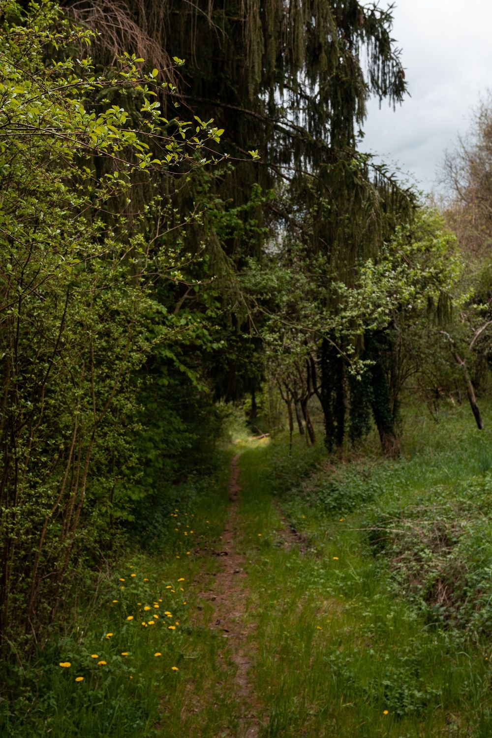
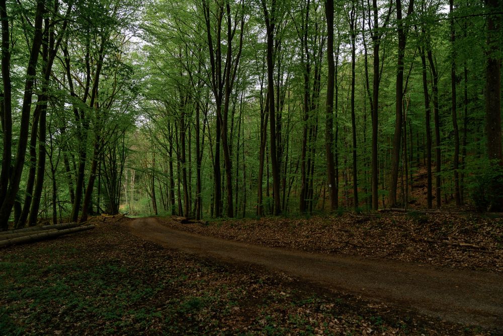
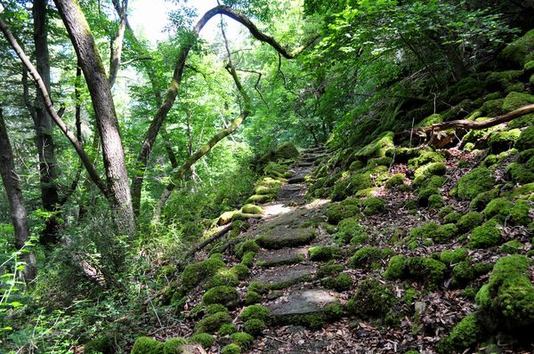
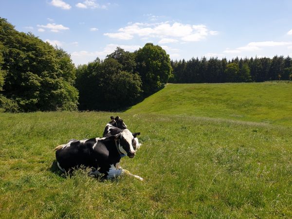
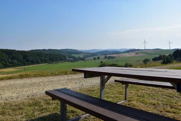
The path starts in Bollendorf-Pont and first leads through a residential area. Then it gently ascends with alternating forest and open landscapes. Shortly before the town of Weilerbach, the path crosses the national road N10. Then it goes down into the valley to the Sauer, which forms the border river between Luxembourg and Germany.
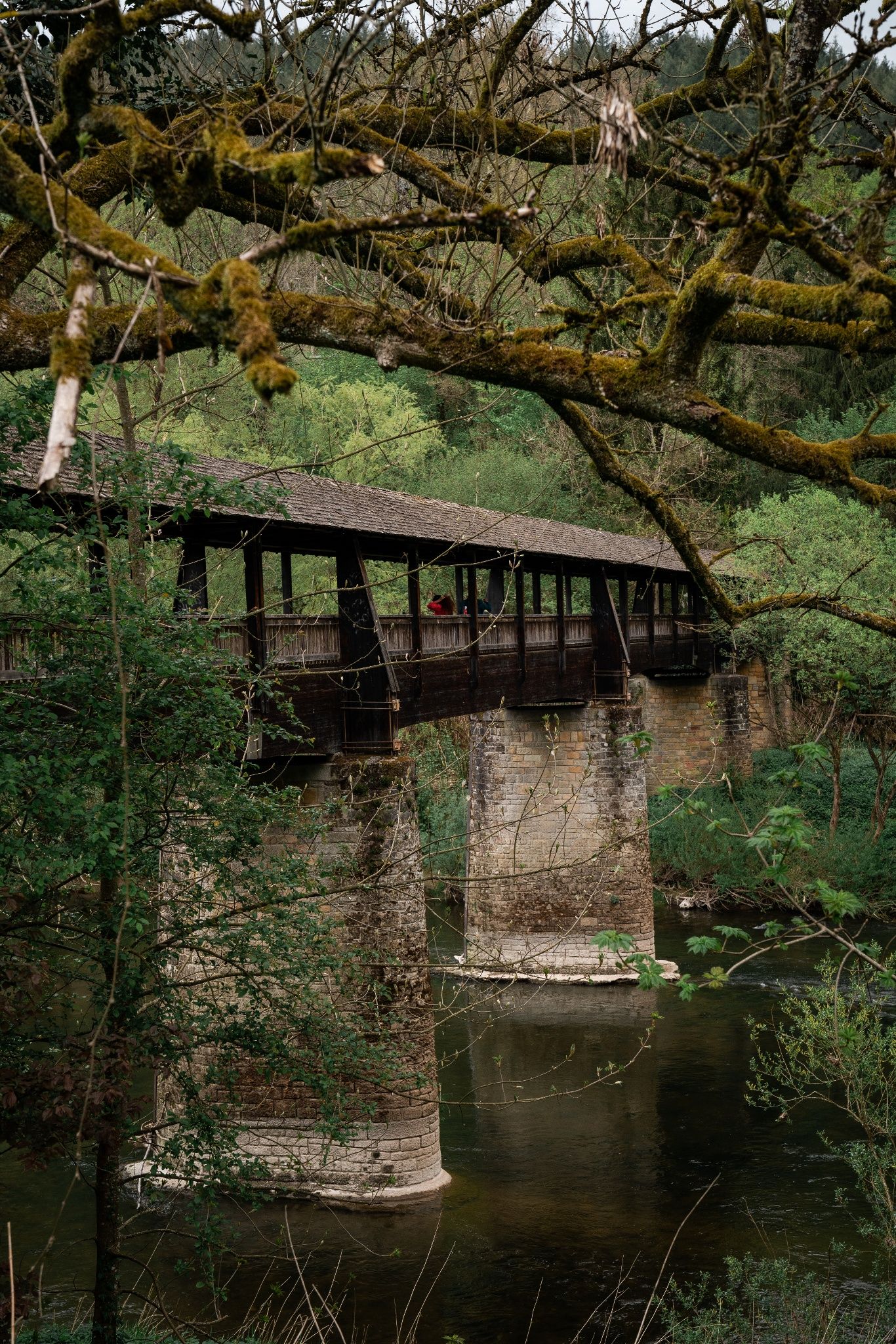
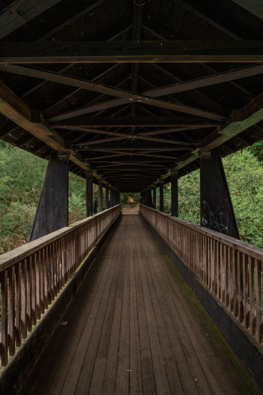
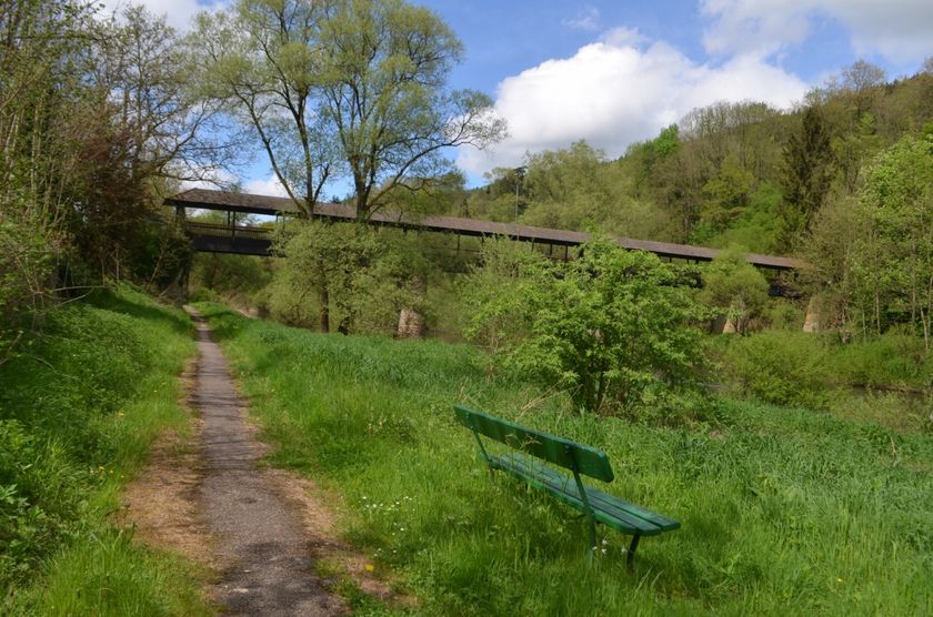
In Weilerbach, you reach the beautiful ancient bridge called Alfred-Töpfer Bridge. You cross this and now walk along the German side by the Sauer. At many points, the path goes over narrow trails. The town of Bollendorf is now in sight. There, you cross the former border bridge and return to your starting point.
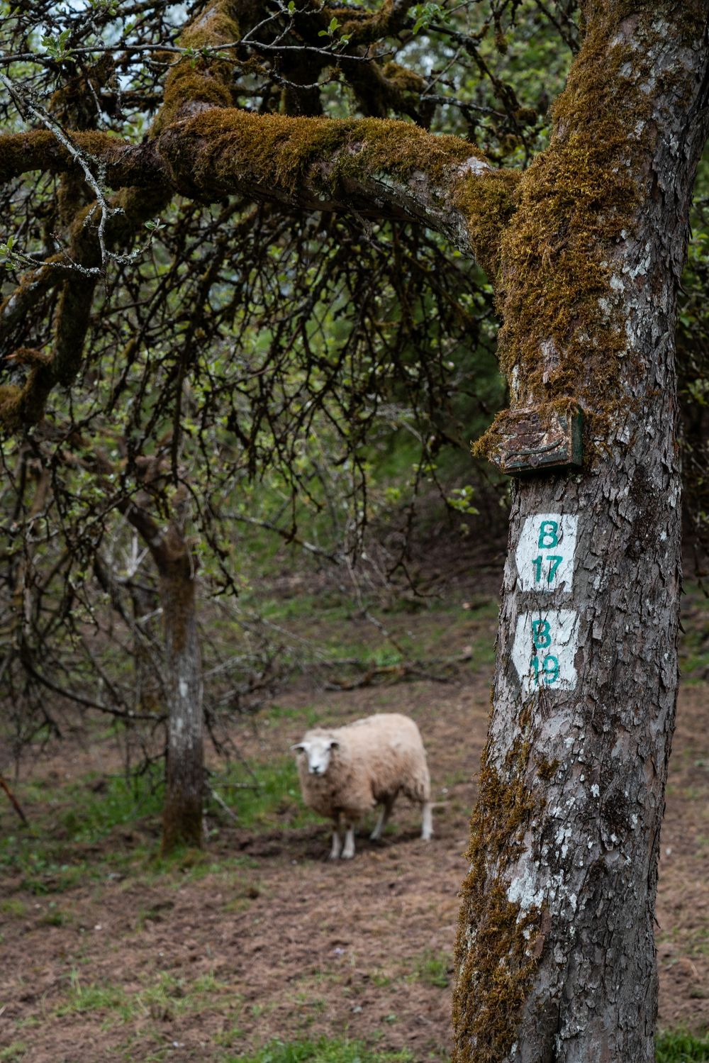
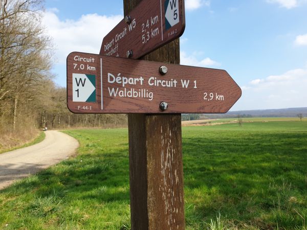
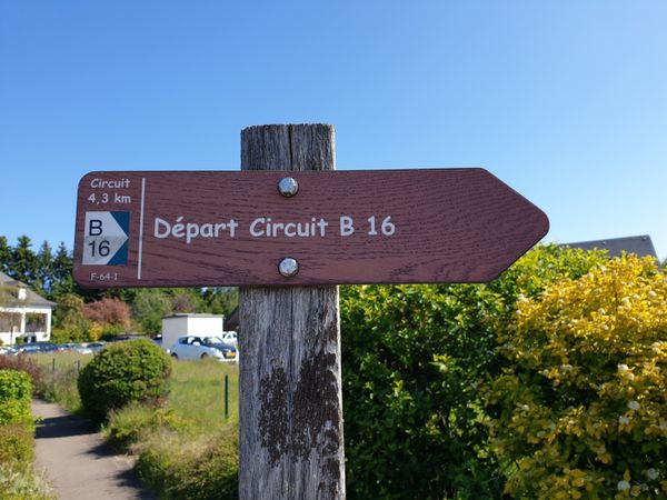
Signposting

Directions
The path starts in Bollendorf-Pont and first leads through a residential area. Then it gently ascends with alternating forest and open landscapes. Shortly before the town of Weilerbach, the path crosses the national road N10. Then it goes down into the valley to the Sauer, which forms the border river between Luxembourg and Germany.
In Weilerbach, you reach the beautiful ancient bridge called Alfred-Töpfer Bridge. You cross this and now walk along the German side by the Sauer. At many points, the path goes over narrow trails. The town of Bollendorf is now in sight. There, you cross the former border bridge and return to your starting point.
Equipment
Sturdy footwear
Journey
Nearest bus stop: Bollendorf-Pont
Parking:
There is a parking lot directly at the starting point.


 This website uses technology and content from the Outdooractive Platform.