National cycling paths

Discover nature on two wheels

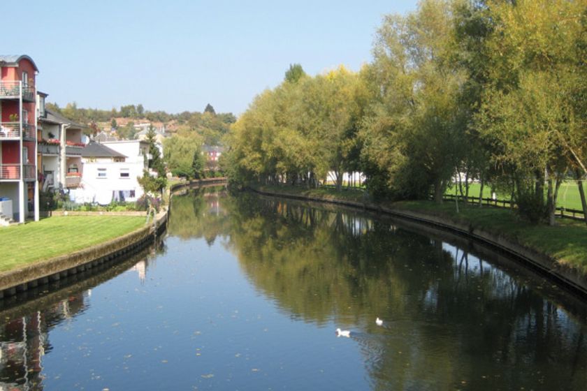
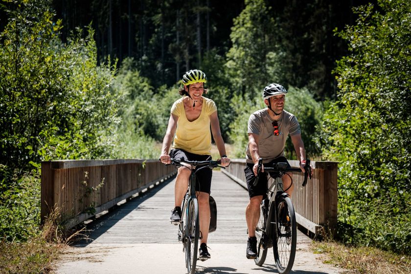
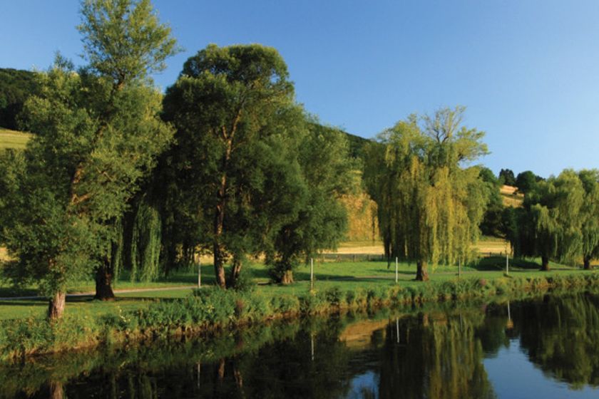
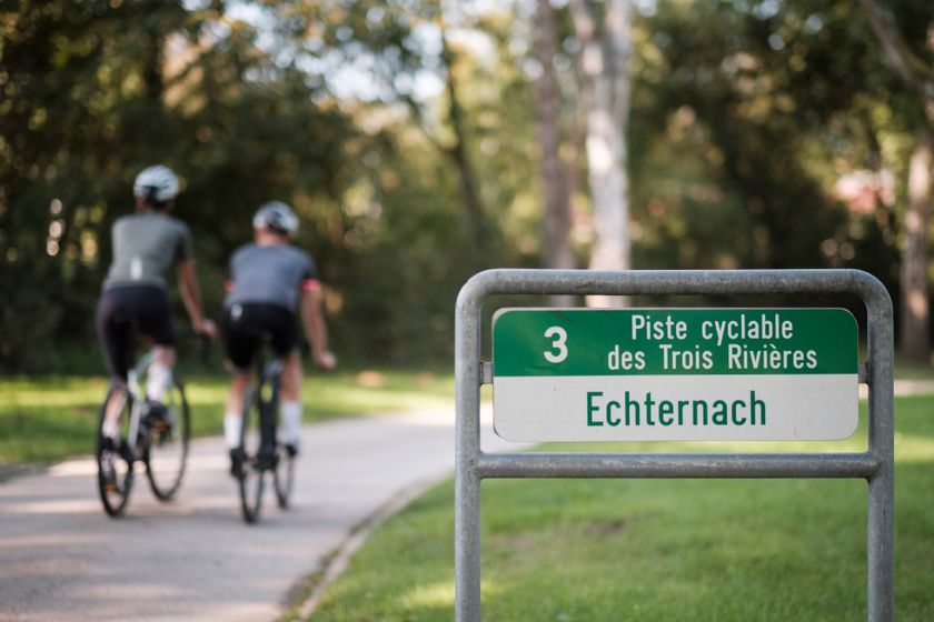
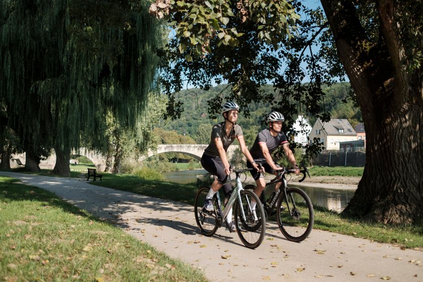
Attractive landscapes, a breath taking nature, impressive historical sights – all this makes the BikeRegion Mullerthal unique. The national cycle routes link the manifold highlights of this small country.

The consistent signposting makes the 600-km long network particularly user-friendly. In the Mullerthal Region, the national cycle routes follow rivers, cross picturesque landscapes, lead to charming villages and cultural sights. Mostly the routes run on disused railway lines, which give them a special charm. Their flat profile also makes them attractive to families. The national network is supplemented by local and regional routes, respectively cross-border cycle tours.

Discover the national cycling paths in the Mullerthal Region

5 results
  • © Visit Luxembourg
    Cycle path de l'Alzette (PC 15)
    Distance: 69,43 km
    Duration: 5:30 h
    Difficulty: easy
    Find out more
  • © ORT MPSL/Pancake! Photographie, ORT MPSL/Pancake! Photographie
    Cycle path de l'Ernz Blanche (PC 5)
    Distance: 9,63 km
    Duration: 1:00 h
    Difficulty: easy
    Find out more
  • © Visit Luxembourg
    Cycle path de la Moyenne Sûre (PC 16)
    Distance: 37,39 km
    Duration: 3:25 h
    Difficulty: medium
    Find out more
  • © ORT MPSL/Pancake! Photographie, ORT MPSL/Pancake! Photographie
    Cycle path des Trois Rivières (PC 3)
    Distance: 90,27 km
    Duration: 7:00 h
    Difficulty: medium
    Find out more
  • © ORT MPSL/Pancake! Photographie, ORT MPSL/Pancake! Photographie
    Cycle path Echternach (PC 2)
    Distance: 36,89 km
    Duration: 3:00 h
    Difficulty: easy
    Find out more