Description
Echternach - Steinheim - Rosport – Burermillen - Born – Moersdorf – Givenich - Mompach – Herborn – Berbourg – Bech – Lauterbur – Echternach
Departure: Echternach Parking “A Kack”
This tour takes you to geological highlights in the UNESCO Global Geopark Mëllerdall. During the tour you will learn more about the origin of the fantastic landscape.
From Echternach you start towards Wasserbillig and drive along the river Sûre through Steinheim and further on to the Sources Rosport. There you can take a guided tour of the only natural carbonated mineral water spring in Luxembourg (by prior arrangement, only as a group).
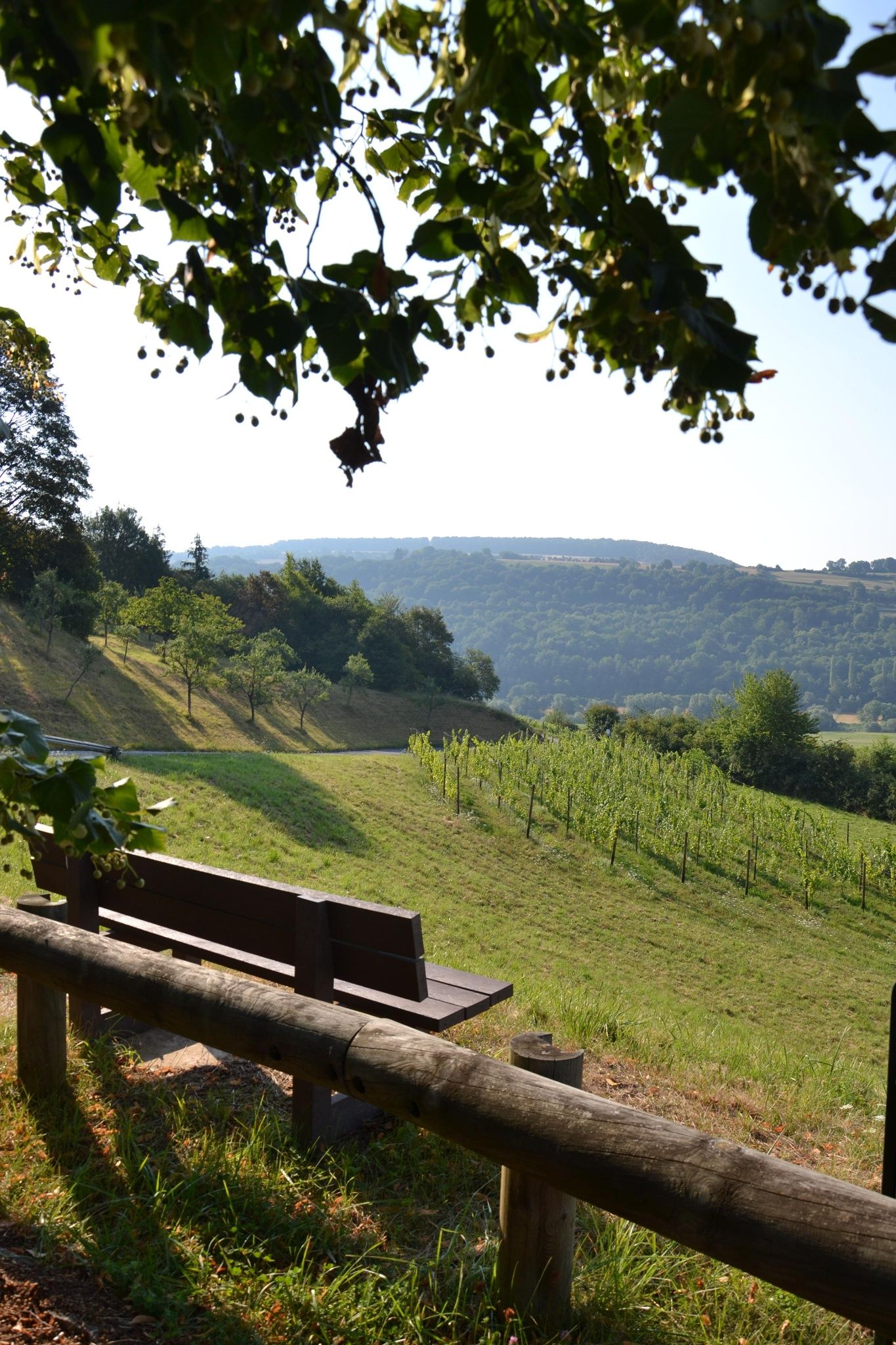
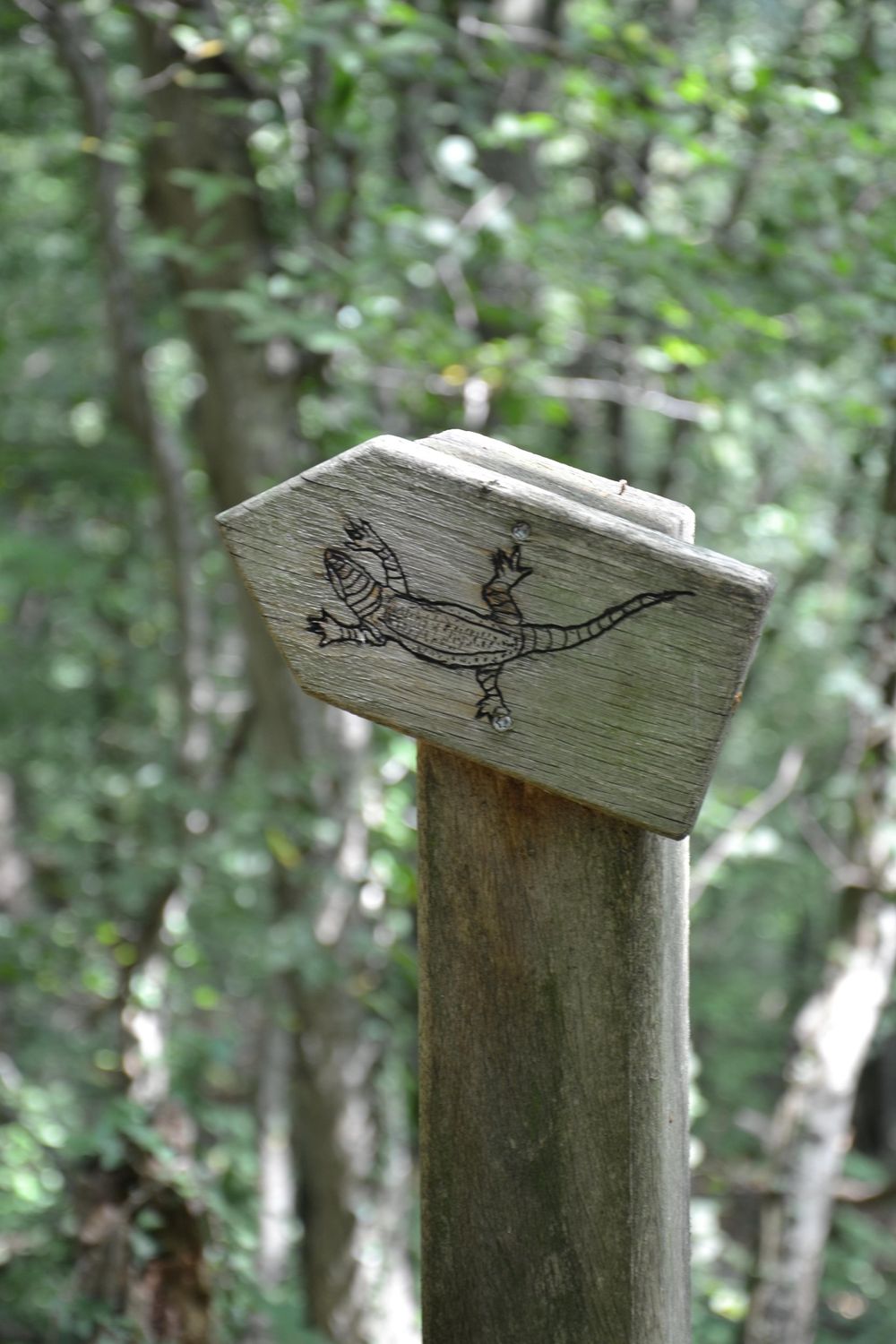
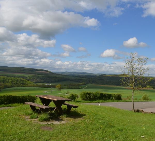
You continue to Rosport, straight through the village and continue towards Wasserbillig until you turn left, after one kilometer, to follow the sign "Barrage Sauerpark". After the bridge over the canal, turn left again and then right up the hill to a parking lot with a fantastic view. You are here on the slope of the artificial meander core Hëlt, where you can hike the "Natur- und Landwirtschaftspfad Hoelt". It starts directly at the parking lot and is marked with a lizard. On the way, you can spot living specimens of these prehistoric-looking animals when the weather is warm and sunny. (Walking distance: 4 km, duration: 75 minutes).
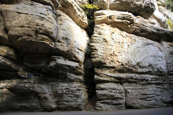
Back at the car park, take the road back across the bridge over the Sûre canal. After the bridge, turn left onto the N10 road and follow it to Burermillen where an information board indicates that there had been a red sandstone quarry here in the 1950’s. Parking is available at the "Crèche" in Burermillen.
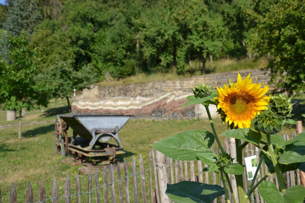
You follow the road along the Sûre to Born, where you can have a look at the Salzmännchegaart behind the modern elementary school. It shows a geological section through the region. Geology can also be experienced on a geological barefoot path. Park at the school and cross the schoolyard to get to the Salzmännchegaart.
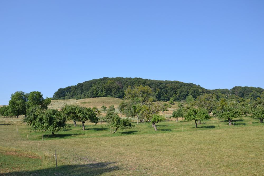
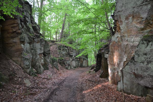
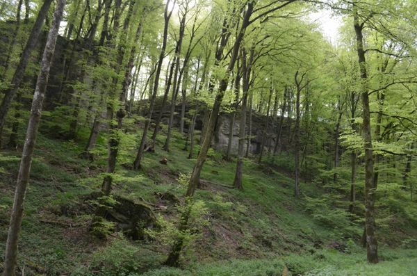
Further along the river Sûre you will find a parking lot just 200 m after the school on the right side of the road. A board informs you about the Salzwaasserquell in Born where salt was produced in a graduation mill. Continue to Moersdorf and turn right towards Mompach. On the plateau, you cross the idyllic village of Mompach and continue through Herborn to Bech. Before the entrance to Bech you have a good view of the Zeiebierger, "outlier mountains", the remains of an old rock formation. After Bech you pass through the forest and go via Lauterbur back to Echternach.

 This website uses technology and content from the Outdooractive Platform.