© Visit Luxembourg
Müllerthal Germany France

Local hiking trail - W2

Hunting Season 2024/25 — Check for hunts before hiking

Autumn is here, and that means hunting season has begun! From mid-October to January/February, hunters are active across the country. Stay safe by checking hunt dates in your area on our Map. 

Click on Map in the Header > Services > More > Hunting.

Starting point
Mullerthal: Touristcenter Heringer Millen
Destination
Mullerthal: Touristcenter Heringer Millen
Distance
3,62 km
Duration
1:03 h
Difficulty
medium
  • Condition
Highest point
308 Hm
Lowest point
213 Hm
Aggregated Ascent
98 Hm
Aggregated Descent
98 Hm
Circular routes Visit Luxembourg

Description

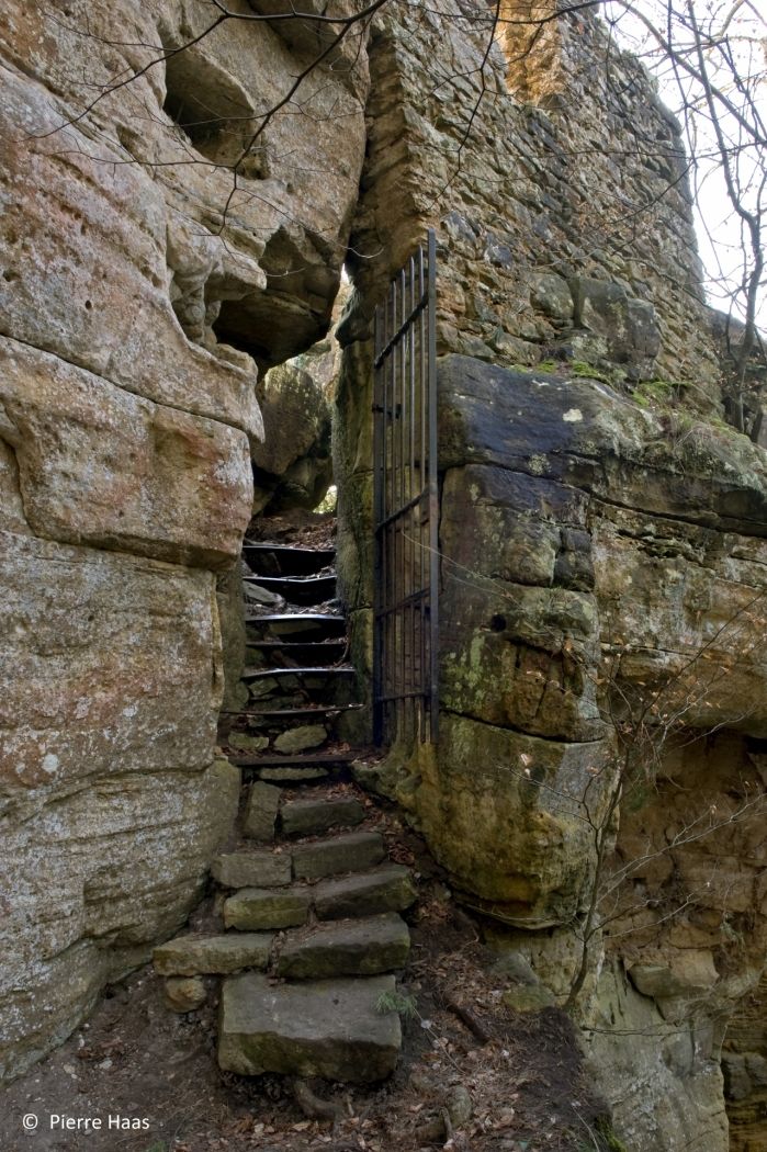
Discover the ruins of the former Heringer Castle in the middle of the forest!

With its only 3.6 km, this hike is suitable for you if you don't have much time or only want to hike short distances.

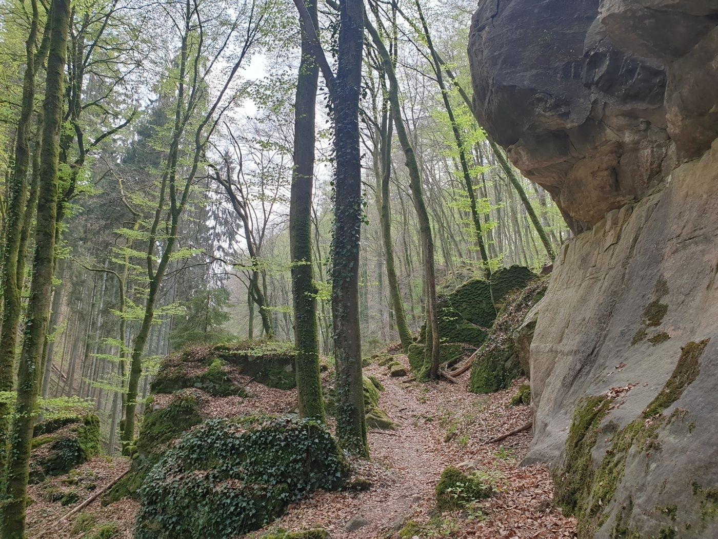
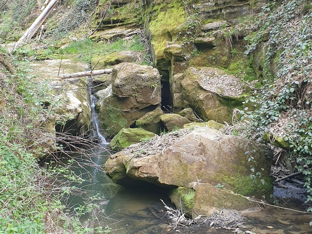
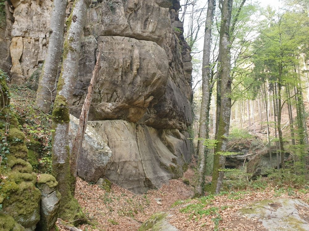
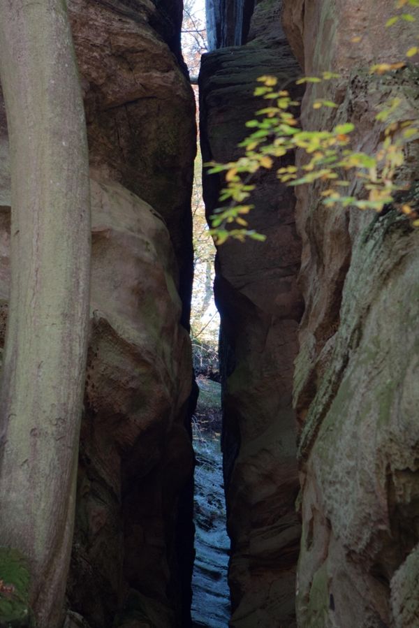
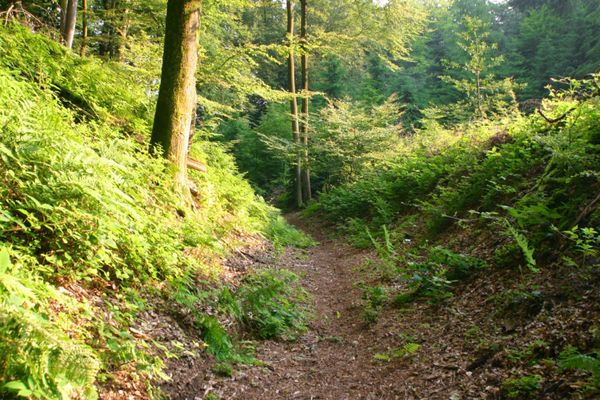
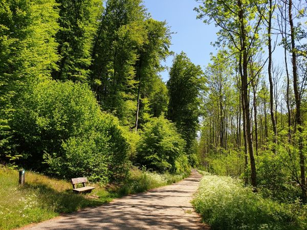
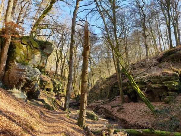
The path winds along narrow passages near Kaasselbaach into the Heringer Forest.

The highlight of this hike is certainly the ruins of the Heringer Castle. This place was used by the Heringer knights as a safe haven. Today, you still see the remains of the wall carved into the rock .

Please make sure to enable your Cookies in case you don't see this content.

Suggestions nearby

Local hiking trail - W2

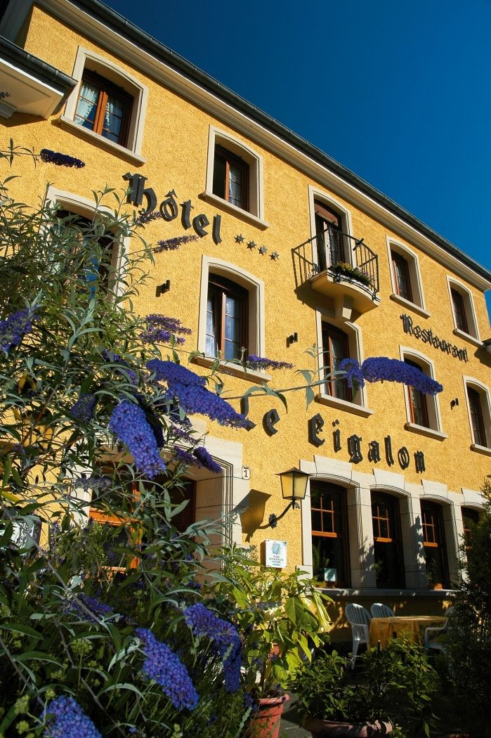
  • © Hotel Restaurant Le Cigalon
    Restaurant Le Cigalon
    Restaurant Le Cigalon
    Find out more

Similar hiking tours

© Tom Barnich, Visit Berdorf
Circular routes
Local hiking trail - B17
Distance: 6,14 km
Duration: 1:40 h
Difficulty: medium
Find out more
© Visit Luxembourg
Thematic paths
Circular hiking trail through the Deiwelskopp nature reserve
Distance: 8,50 km
Duration: 2:27 h
Difficulty: medium
Find out more
© Visit Luxembourg
Thematic paths
Didactic nature path "Joffer Margot"
Distance: 6,88 km
Duration: 2:00 h
Difficulty: medium
Find out more
© Visit Luxembourg
Thematic paths
Well-Being Trail - Nommern
Distance: 4,35 km
Duration: 1:22 h
Difficulty: medium
Find out more
© Visit Luxembourg
Circular routes
Local hiking trail - F3
Distance: 4,34 km
Duration: 1:15 h
Difficulty: medium
Find out more
© Visit Luxembourg
Circular routes
Local hiking trail - F2
Distance: 4,10 km
Duration: 1:13 h
Difficulty: medium
Find out more
© Visit Luxembourg
Circular routes
Local hiking trail - F4
Distance: 3,21 km
Duration: 0:57 h
Difficulty: medium
Find out more
© Visit Luxembourg
Circular routes
Local hiking trail - B13
Distance: 2,78 km
Duration: 1:00 h
Difficulty: medium
Find out more
© Visit Luxembourg
Circular routes
Local hiking trail - B11
Distance: 2,85 km
Duration: 0:46 h
Difficulty: medium
Find out more