© Visit Luxembourg
Müllerthal Germany France

Local hiking trail - R7

Hunting Season 2024/25 — Check for hunts before hiking

Autumn is here, and that means hunting season has begun! From mid-October to January/February, hunters are active across the country. Stay safe by checking hunt dates in your area on our Map. 

Click on Map in the Header > Services > More > Hunting.

Starting point
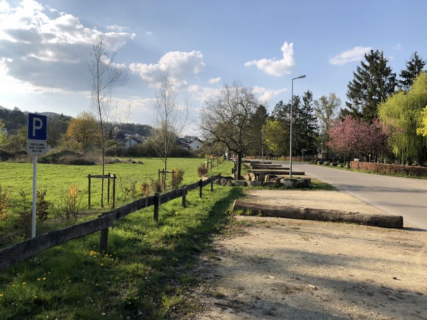
Rosport: Rue du Barrage (Parking area near the lake)
Destination
Rosport: Rue du Barrage (Parking area near the lake)
Distance
3,52 km
Duration
1:05 h
Difficulty
difficult
  • Condition
Highest point
252 Hm
Lowest point
151 Hm
Aggregated Ascent
103 Hm
Aggregated Descent
103 Hm
Circular routes Visit Luxembourg

Description

Scenic
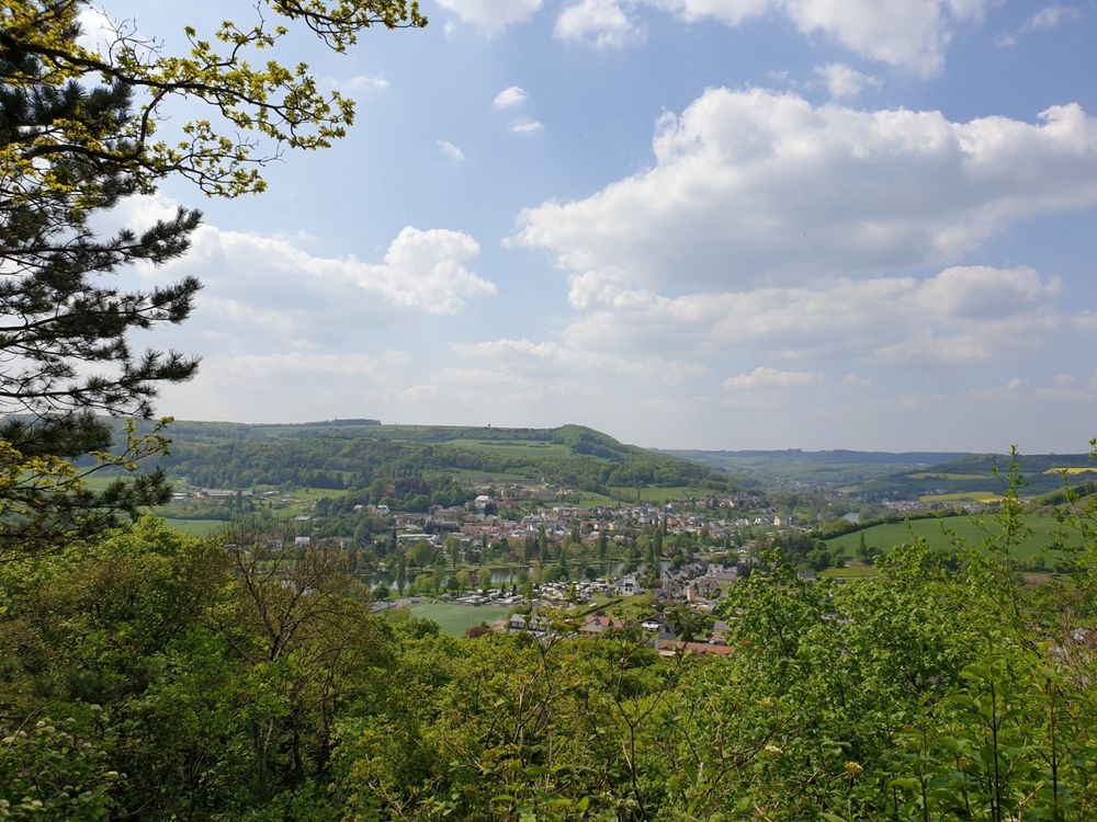
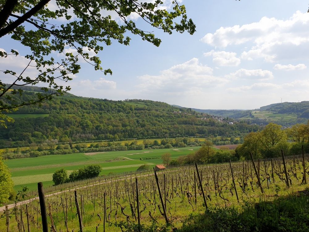
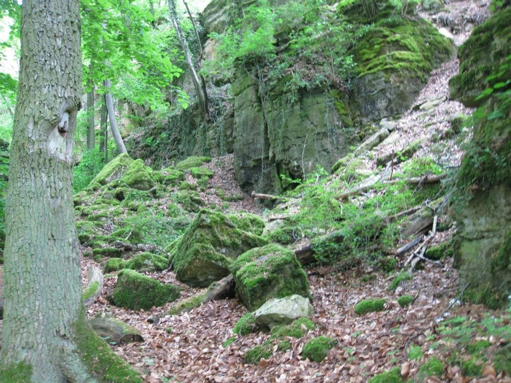
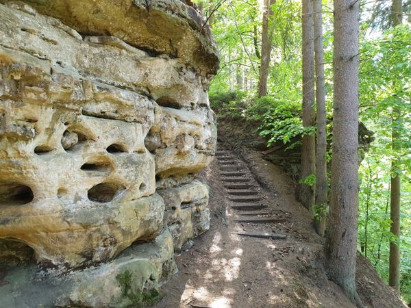
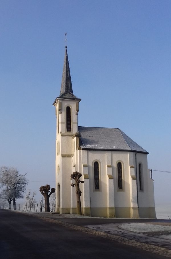
This hike reveals the two sides of the Hëlt: the wet, rocky north side with fascinating rock formations and the sun-warmed south side where vines and orchids grow.

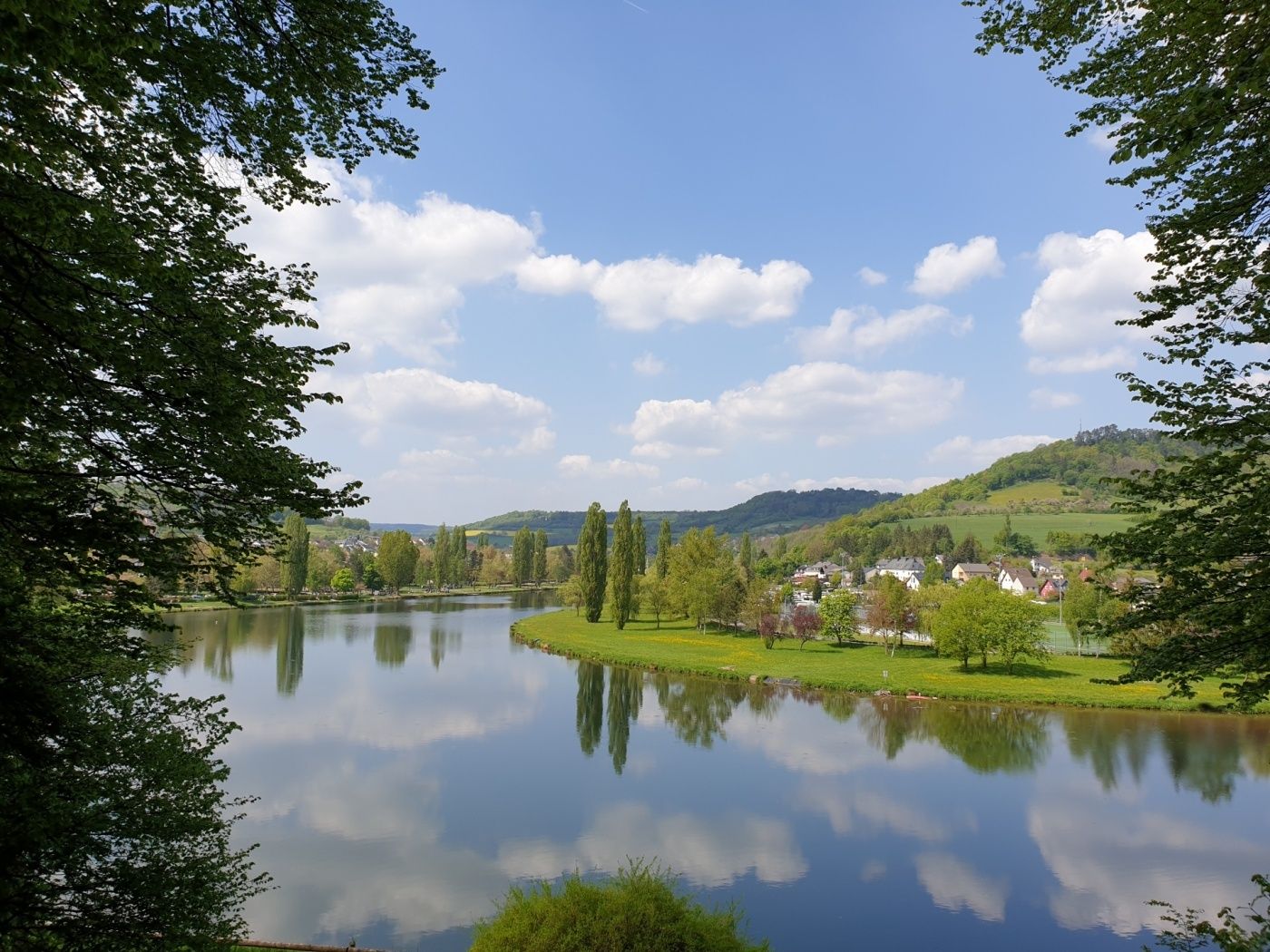
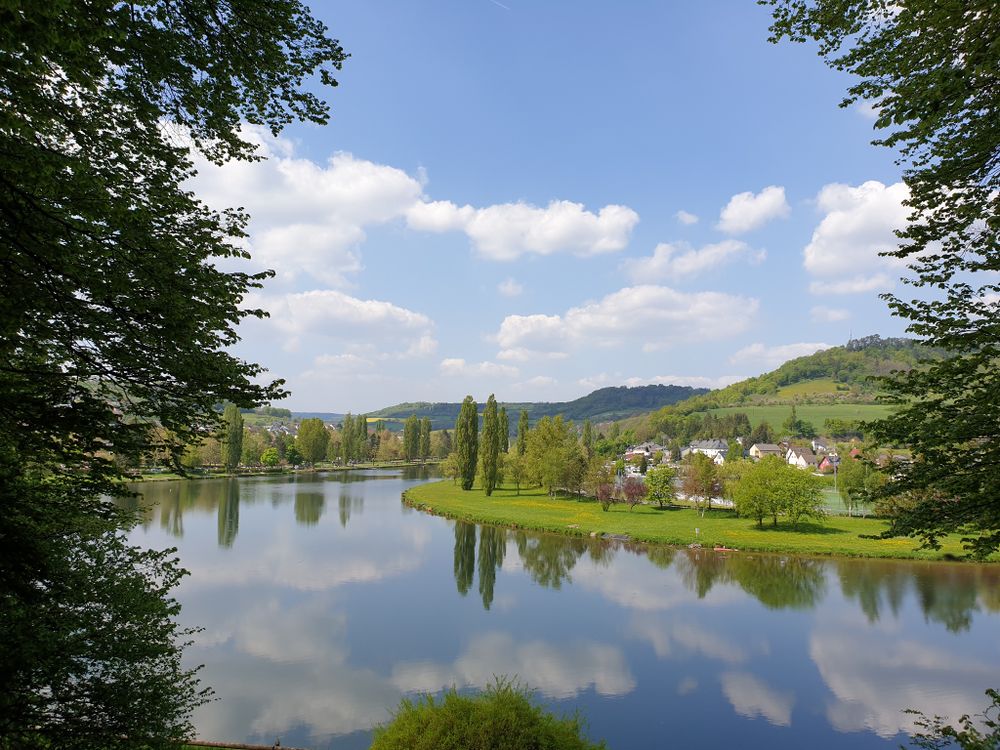
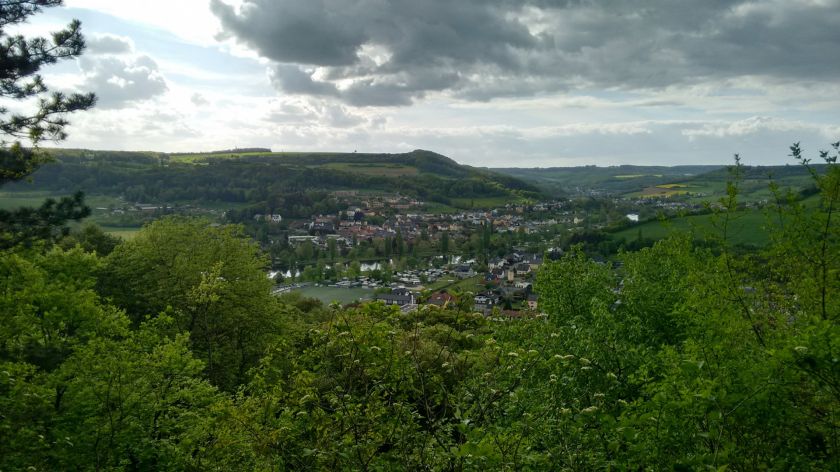
The "Hëlt" is high above the valley of the Sûre and  surrounded by water on all sides. This varied hike leads around the Hëlt and up to almost the highest point.

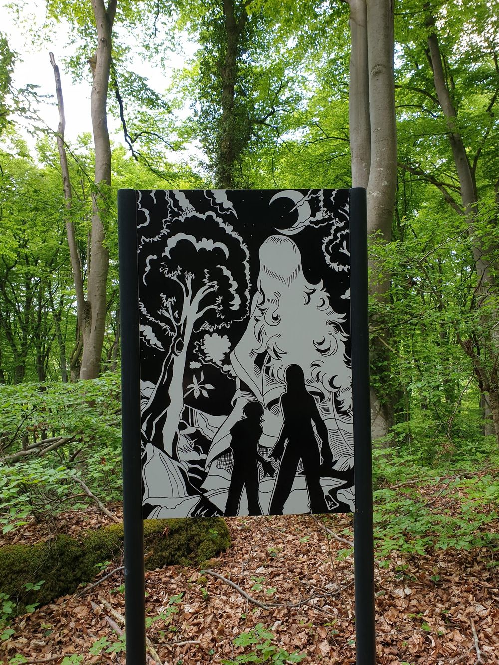
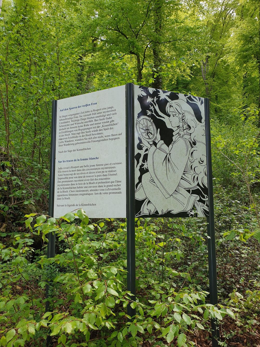
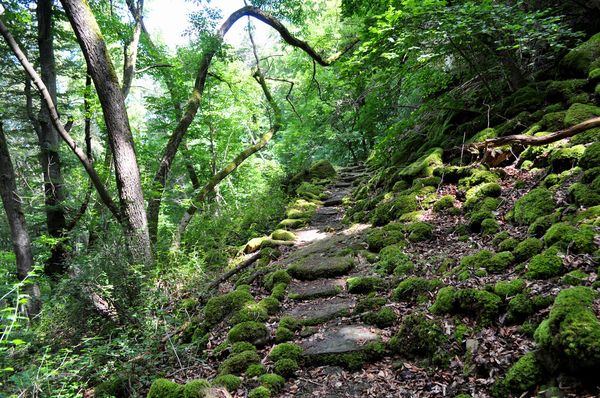
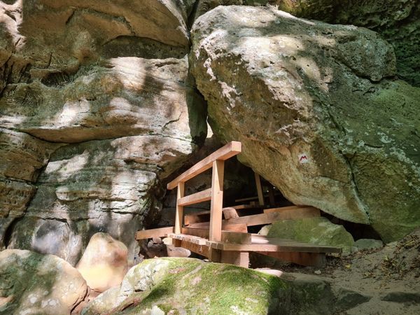
From the starting point on the Sûre, you walk up an enchanted forest next to spectacular dolomite rock formations. Legend has that a white woman lives in a crevice called "Kimmhäischen" and sometimes appears in Hëlt territory.

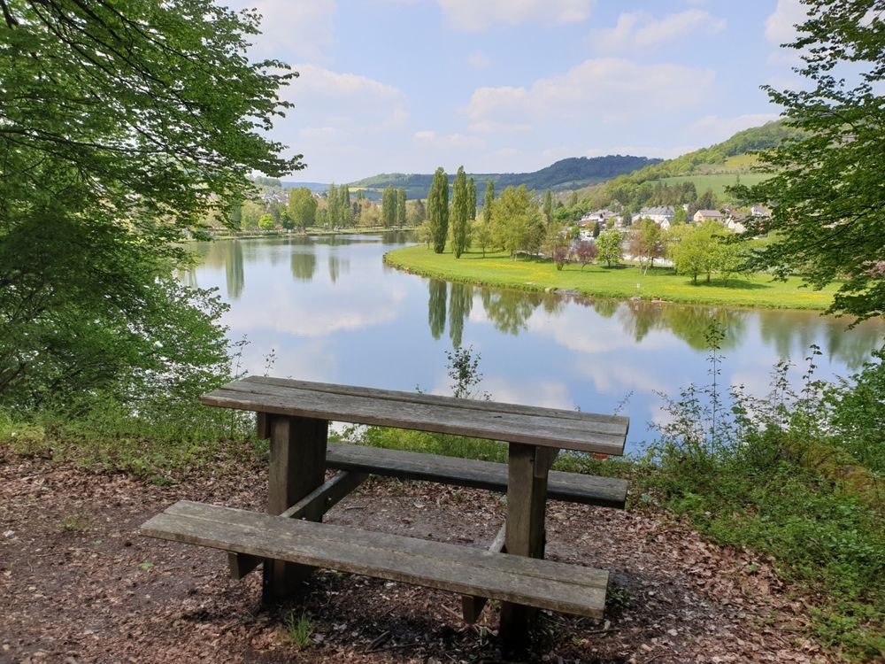
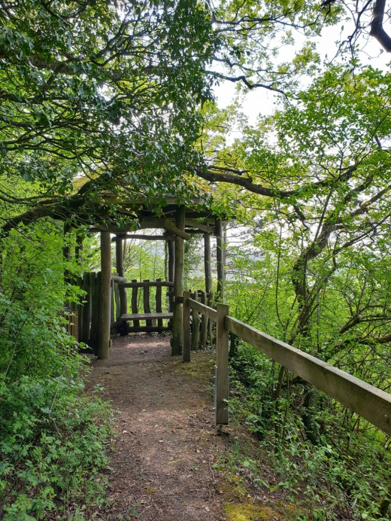
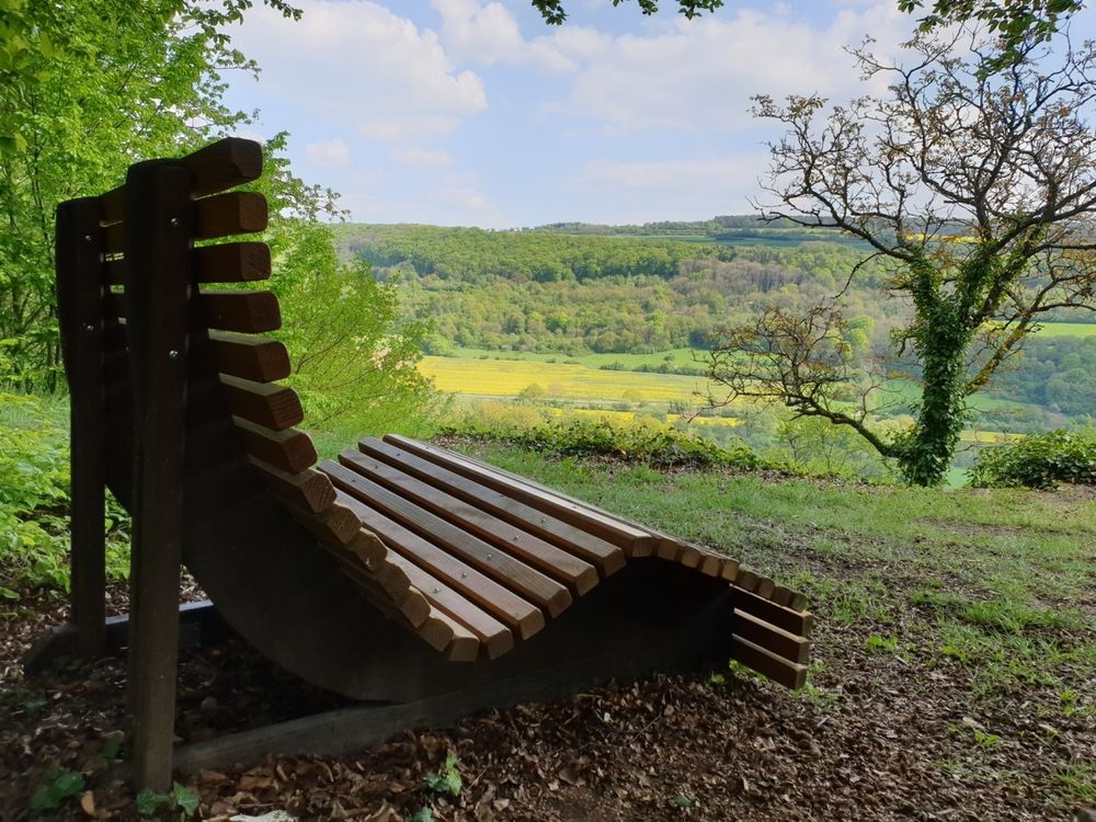
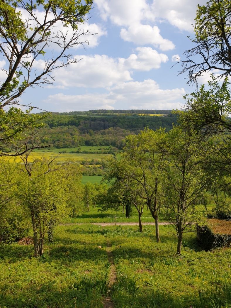
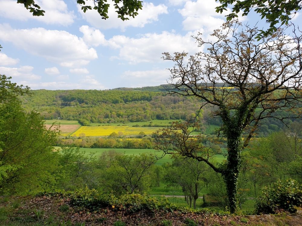
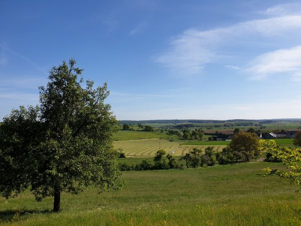
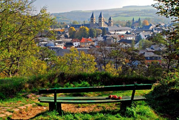
Later on, you walk on the south side along vineyards with traditional dry stone walls and over blooming orchid terraces. The hike offers beautiful views of the valley of the Sûre, especially from the pavilion near the highest point of the Hëlt. The first part of the way requires sure-footedness.

Suggestions nearby

Local hiking trail - R7

  • Parking - Beim Sauerpark Rosport
    Parking - Beim Sauerpark Rosport
    Find out more
  • © Pancake! Photographie
    Tourist Info Rosport
    Tourist Info Rosport
    Find out more
  • © Tudorsgeeschter
    Tudorsgeeschter
    Tudorsgeeschter
    Find out more
  • © Restaurant Sauerpark Beach
    Sauerpark Beach
    The new riverside restaurant on the sauer
    Find out more
  • © Th. Bichler
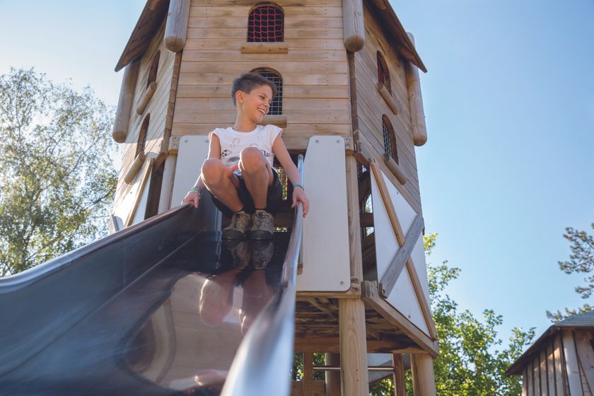
    Adventure playground in the park near the Sauer lake
    Adventure playground near the river Sûre : The large adventure playground with its numerous equipment and water games invites children to discover and explore.
    Find out more
  • free
    with theLuxembourgCard
    Tudor Museum
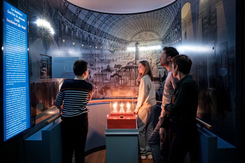
    Henri Tudor Museum: A passion for electricity
    Find out more
  • Meander core “Hëlt”
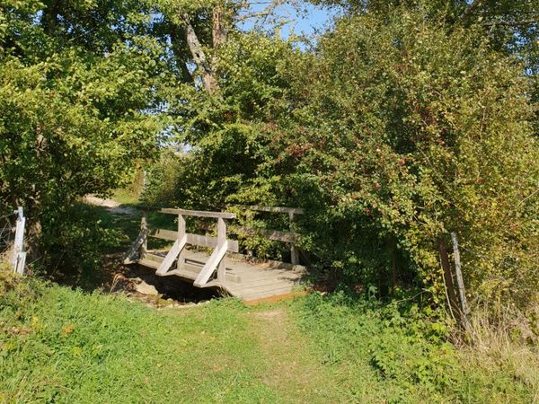
    Meander core “Hëlt”
    Find out more

Similar hiking tours

© Dominik Ketz, Eifel Tourismus GmbH
NaturWanderPark Delux
Circular walk NaturWanderPark delux: Felsenweg 1 (L-Echternach)
Distance: 20,35 km
Duration: 6:00 h
Difficulty: difficult
Find out more
© D. Ketz, Eifel Tourismus GmbH, D. Ketz
NaturWanderPark Delux
Circular walk NaturWanderPark delux: Felsenweg 3 (D-Ferschweiler/L-Berdorf)
Distance: 24,66 km
Duration: 6:30 h
Difficulty: difficult
Find out more
© D. Ketz, Eifel Tourismus GmbH, D. Ketz
NaturWanderPark Delux
Circular walk NaturWanderPark delux: Felsenweg 2 (D-Bollendorf/L-Beaufort)
Distance: 20,29 km
Duration: 6:00 h
Difficulty: difficult
Find out more
© (c) NGPM Elisabeth Medinger, (c) NGPM Elisabeth Medinger
Thematic paths
Geo-Pad Hëlt
Distance: 4,06 km
Duration: 1:30 h
Difficulty: difficult
Find out more
© Visit Luxembourg
NaturWanderPark Delux
NaturWanderPark delux: Felsenweg 4
Distance: 33,58 km
Duration: 9:50 h
Difficulty: difficult
Find out more
© Visit Luxembourg
Circular routes
Local hiking trail - B2
Distance: 4,14 km
Duration: 1:10 h
Difficulty: difficult
Find out more
© Visit Luxembourg
Circular routes
Auto-pédestre trail Consdorf - Mullerthal
Distance: 8,34 km
Duration: 4:00 h
Difficulty: difficult
Find out more
© Pancake! Photographie, Visit Mullerthal
Circular routes
Local hiking trail - E4
Distance: 10,99 km
Duration: 3:20 h
Difficulty: difficult
Find out more
© Pancake! Photographie, Visit Luxembourg
Mullerthal Trail - Leading Quality Trails - Best of Europe
Mullerthal Trail Route 2
Distance: 38,85 km
Duration: 12:39 h
Difficulty: difficult
Find out more