© Visit Luxembourg
Müllerthal Germany France

Local hiking trail - M1

Starting point
Born: School and sports complex
Destination
Born: School and sports complex
Distance
8,80 km
Duration
2:37 h
Difficulty
medium
  • Condition
Highest point
351 Hm
Lowest point
148 Hm
Aggregated Ascent
271 Hm
Aggregated Descent
271 Hm
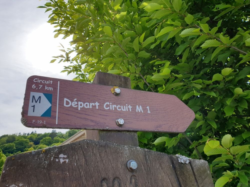
Circular routes Visit Luxembourg

Description

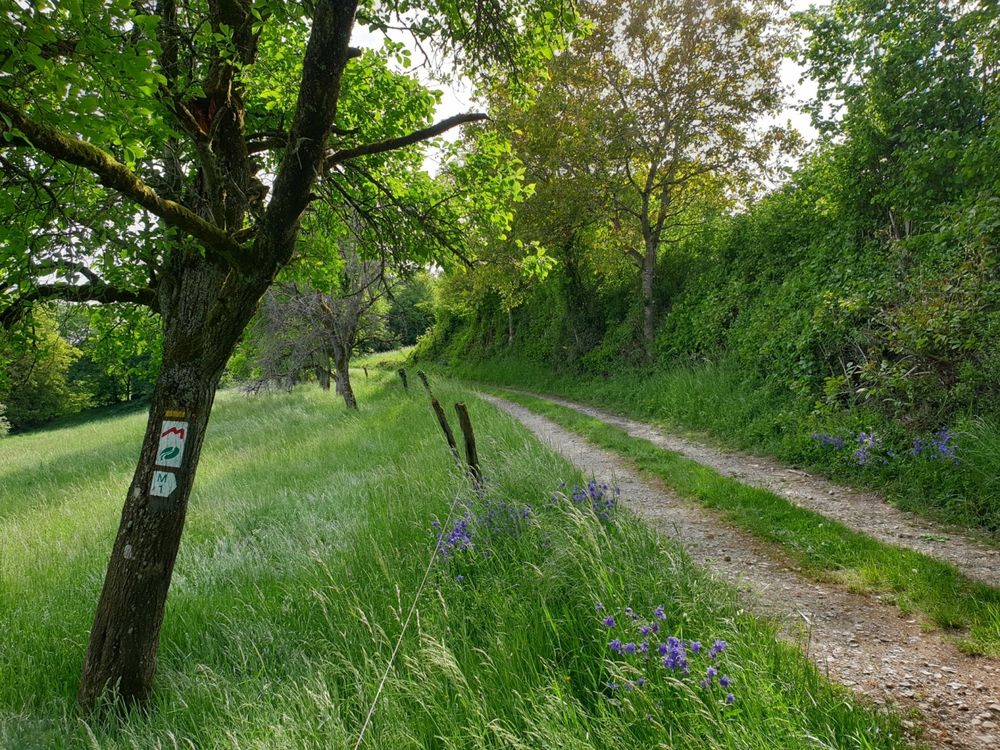
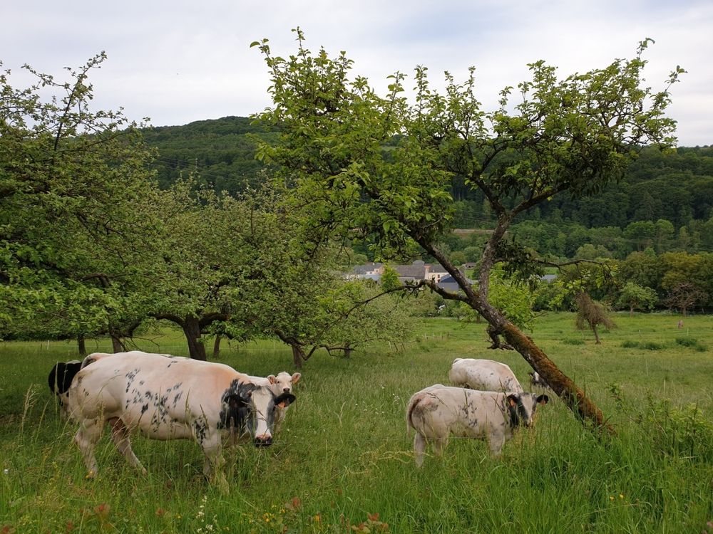
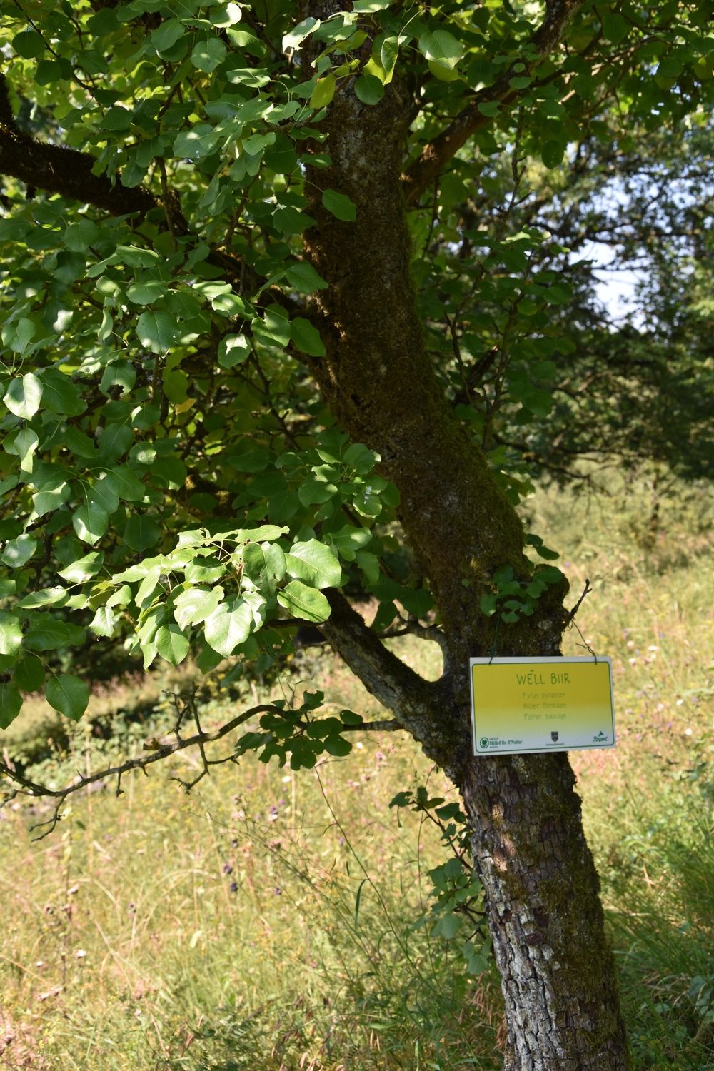
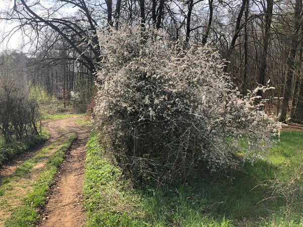
Varied hike through typical landscapes with meadow orchards, called "Bongerten" in Luxembourgish and traditional dry stone walls.

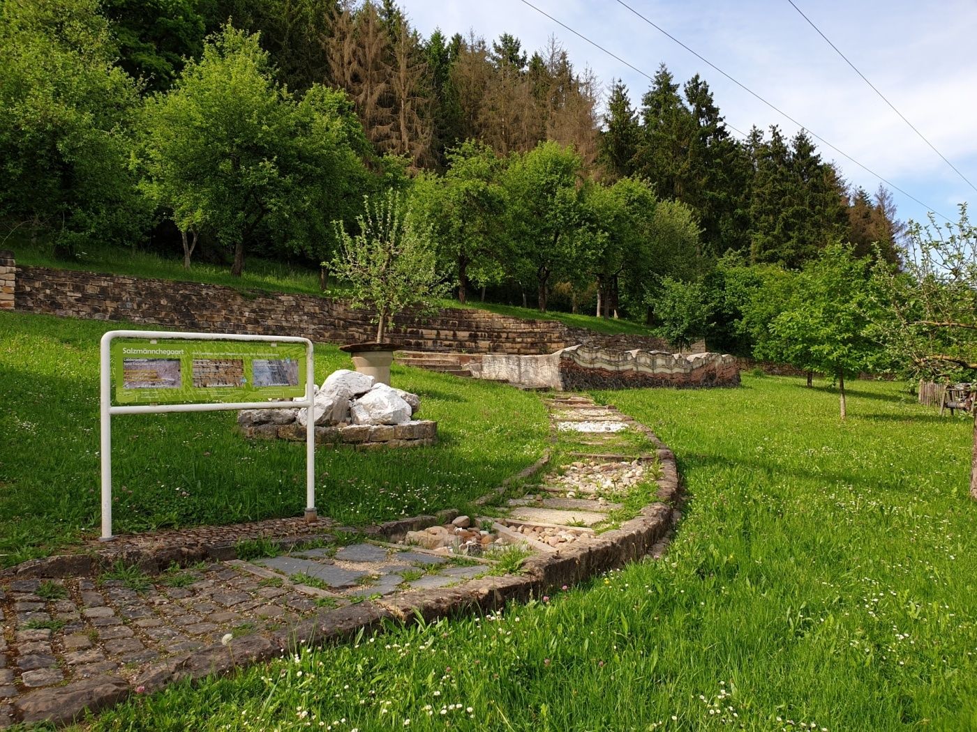
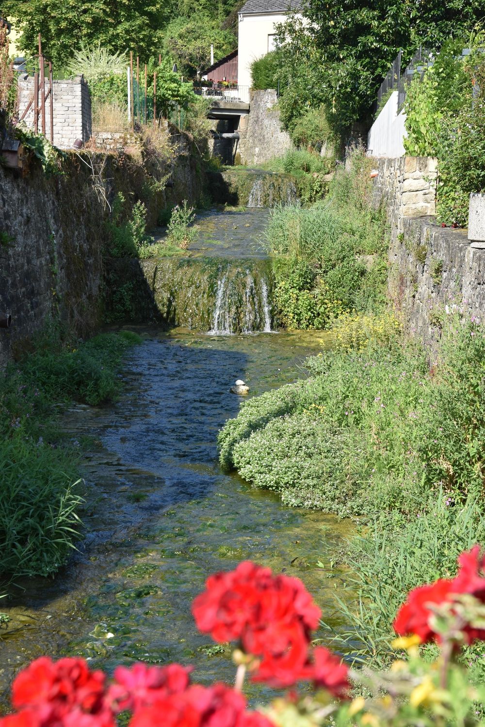
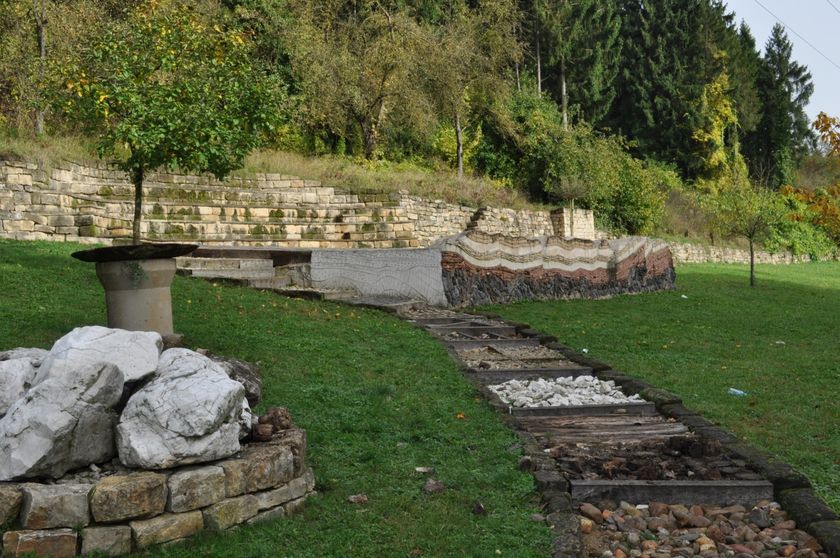
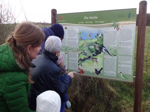
The starting point of this hike is behind the school in Born. At the starting point is the "Salzmännchegaart" including a geological barefoot path.

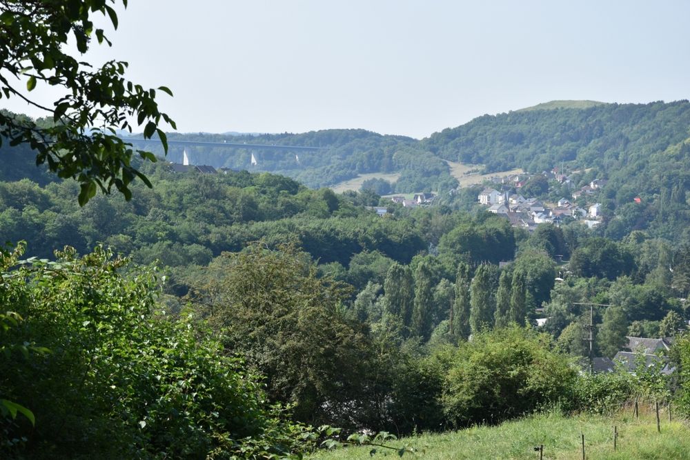
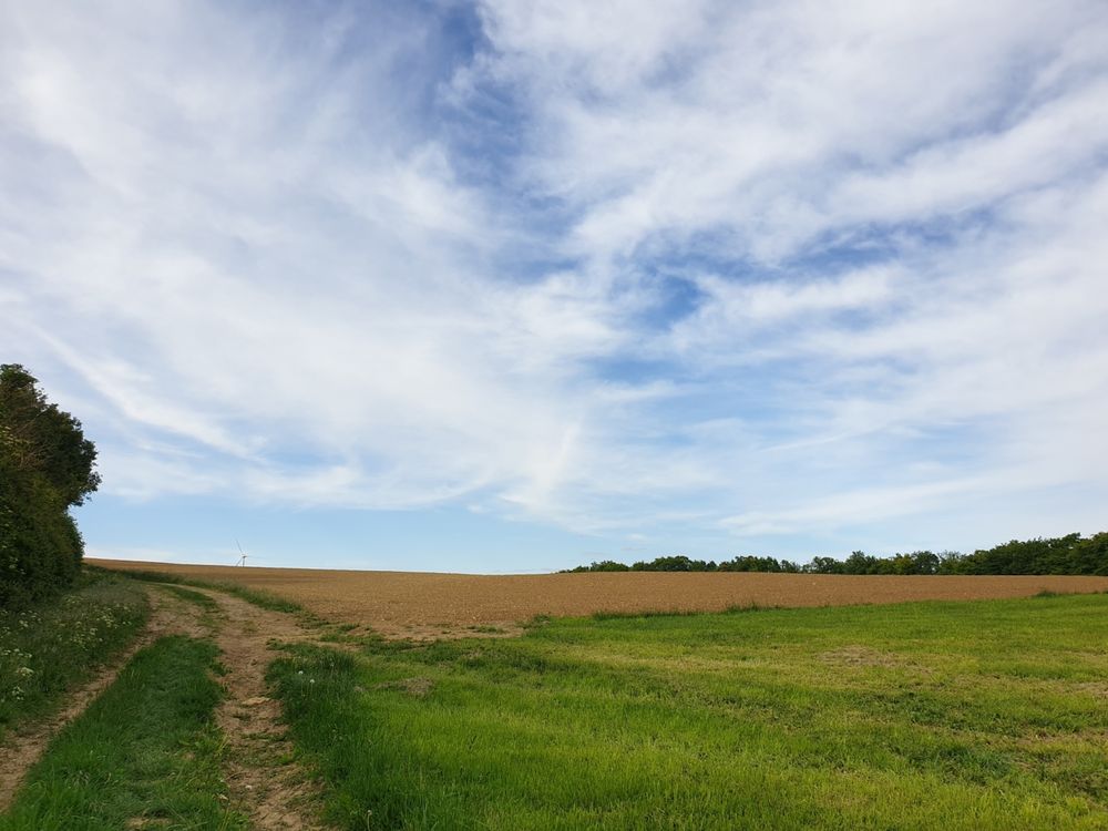
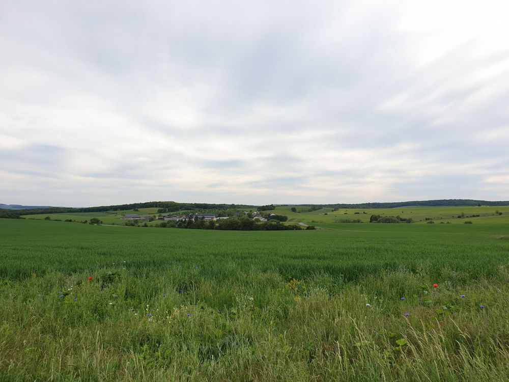
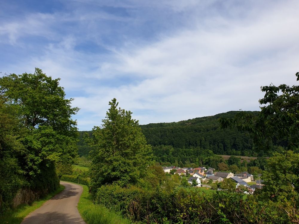
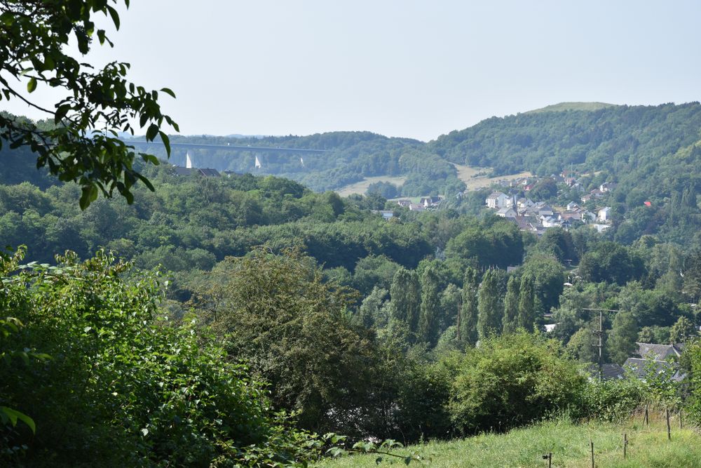
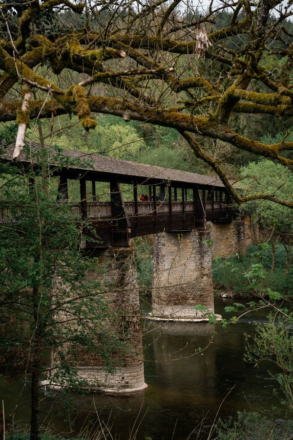
After the ascend to the Wangertsbierg, you enjoy beautiful views on Born and the Sûre valley.

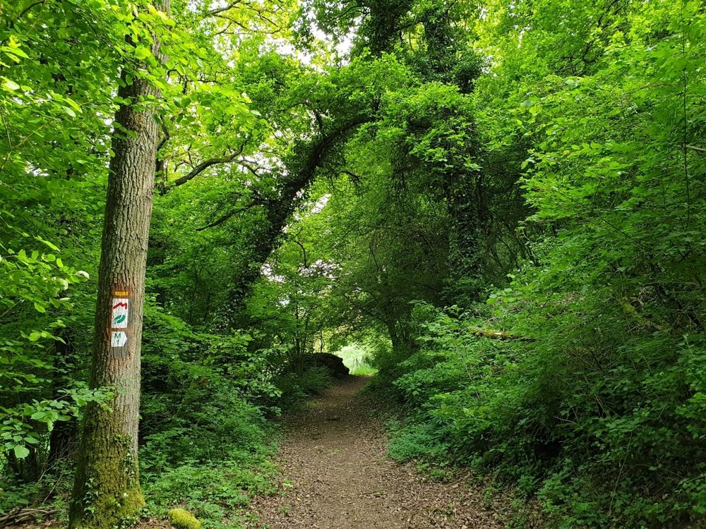
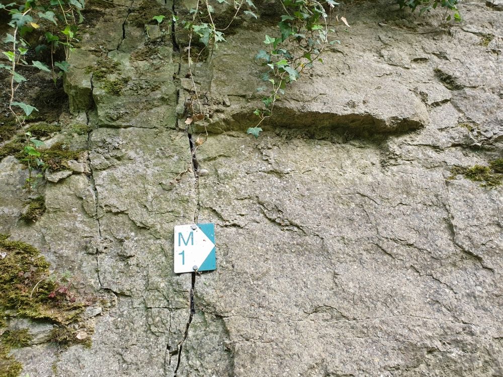
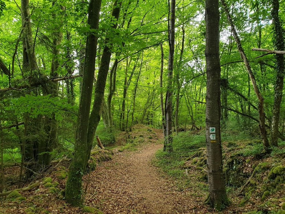
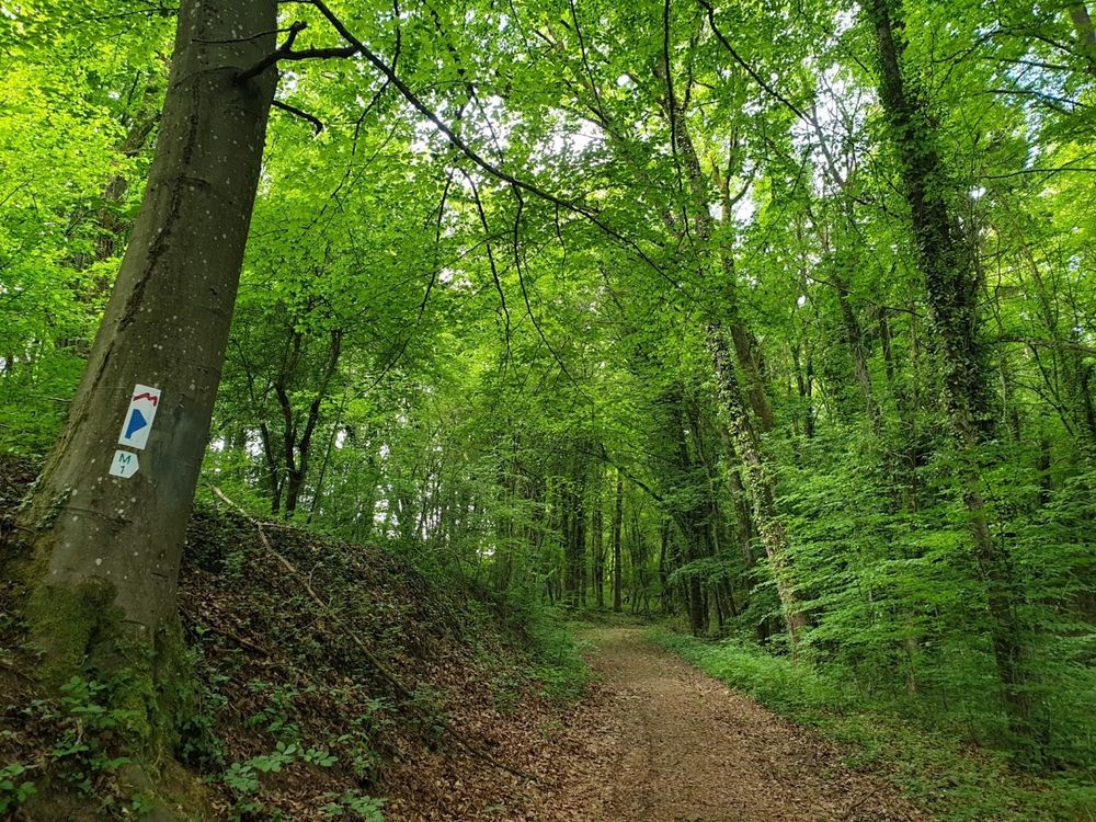
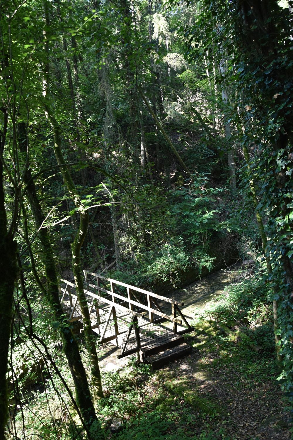
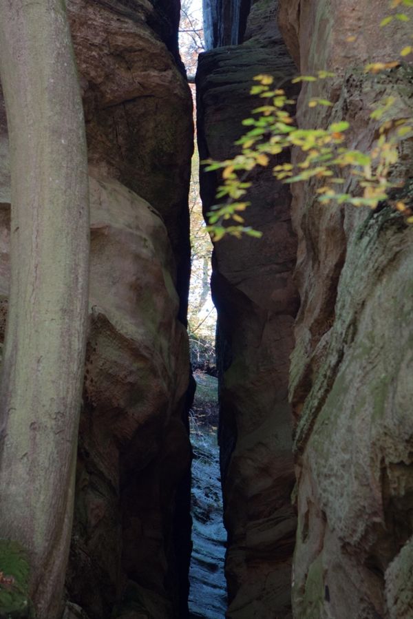
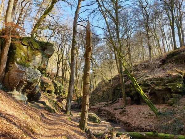
After a landscape lined with orchards and dry stone walls, the path leads into a forest area. The trail leadsyou past rock formations and then on a dry grassland above Moersdorf.

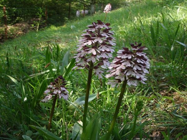
There is also an orchid trail.

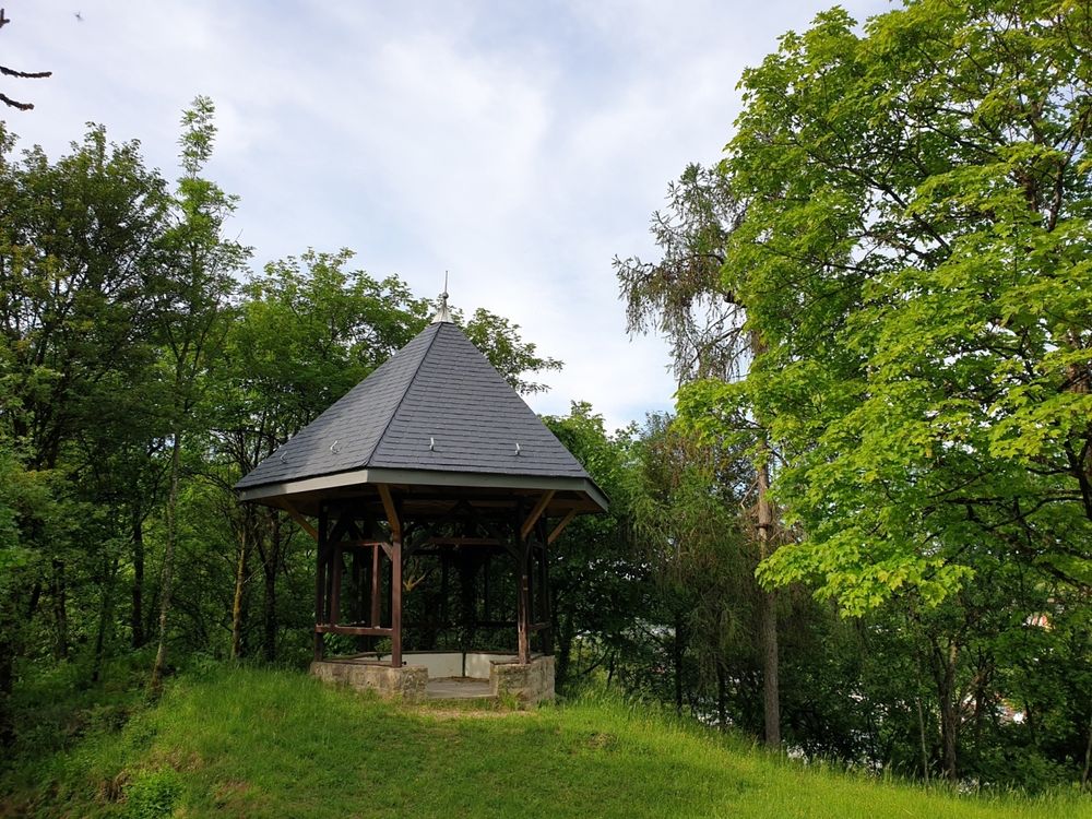
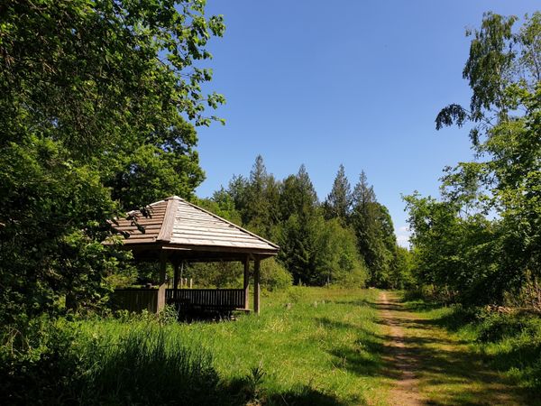
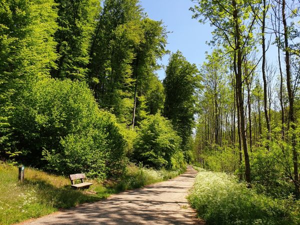
On the plateau Burer Bierg sit on a bench and enjoy beautiful views on the surrounding area. After that you go back to your starting point.
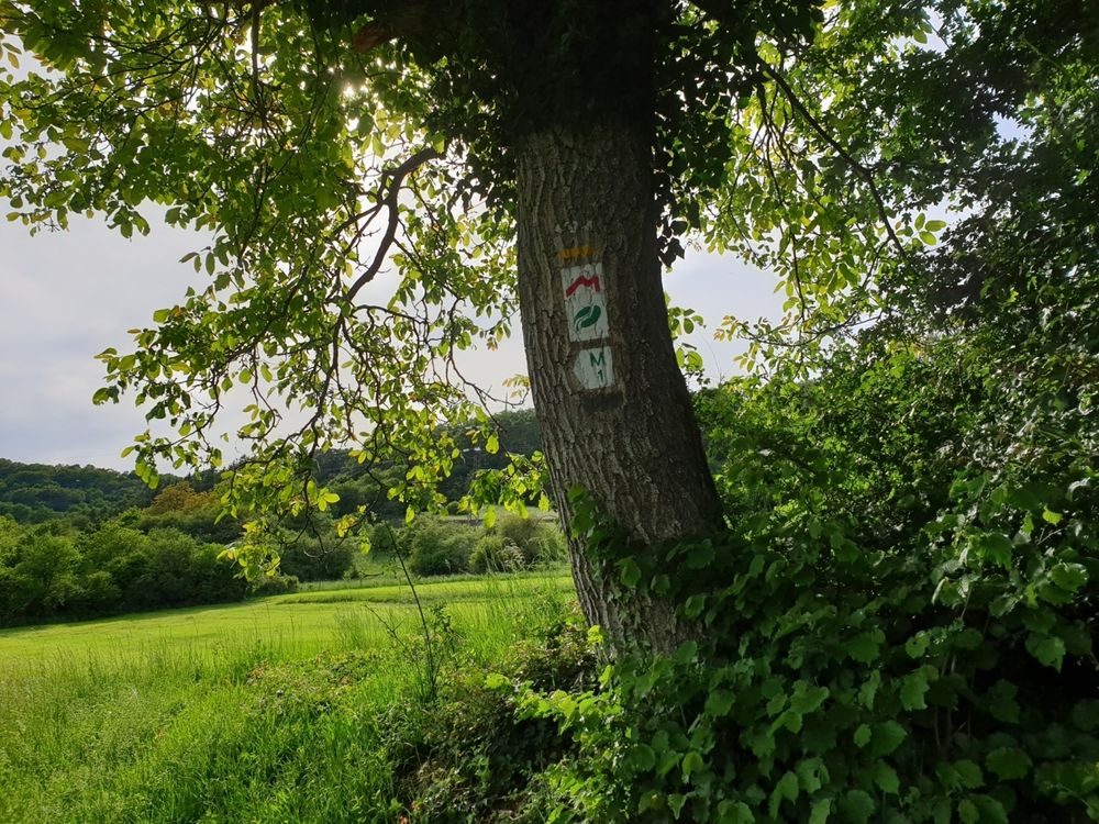
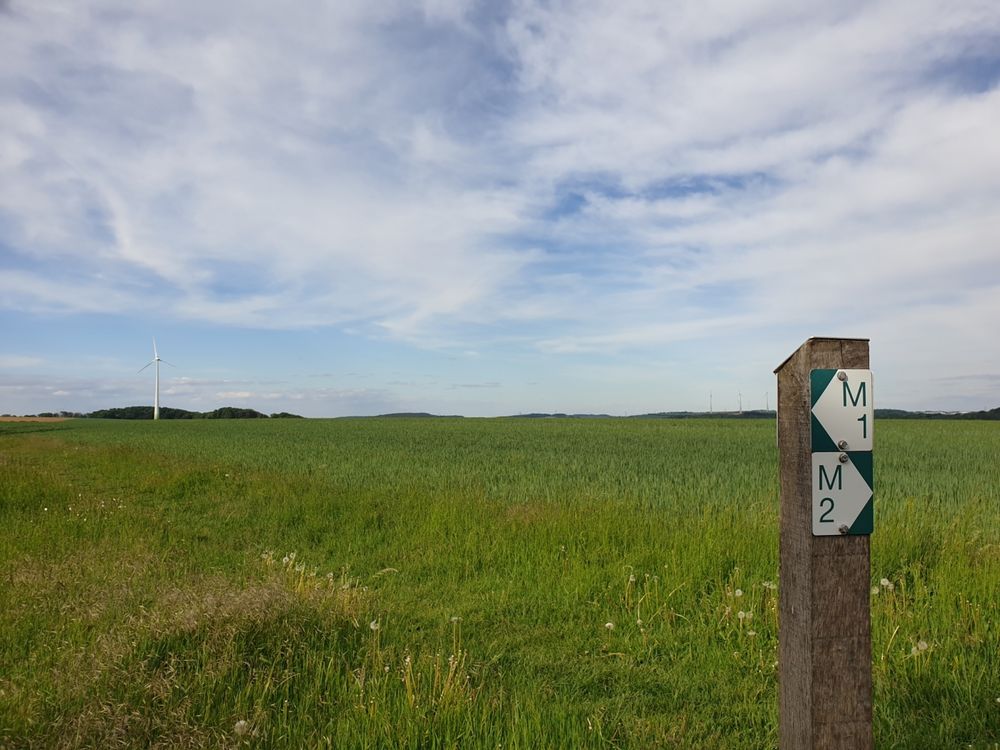
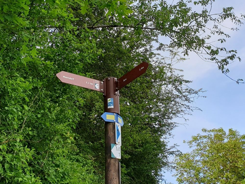
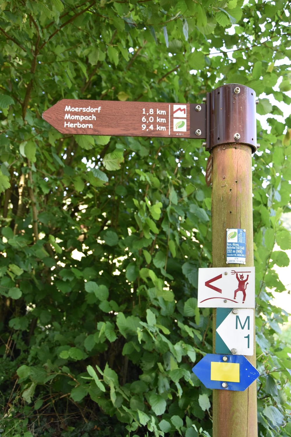
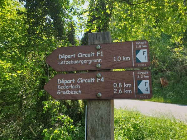


Suggestions nearby

Local hiking trail - M1

  • Salzmännchegaart
    Salzmännchegaart
    Find out more
  • © Ramborn Cider Co
    30%
    with theLuxembourgPass
    Ramborn Cider Co.
    Ramborn Cider Haff: Traditional cider and juices
    Find out more

Similar hiking tours

© Tom Barnich, Visit Berdorf
Circular routes
Local hiking trail - B17
Distance: 6,14 km
Duration: 1:40 h
Difficulty: medium
Find out more
© Visit Luxembourg
Thematic paths
Circular hiking trail through the Deiwelskopp nature reserve
Distance: 8,50 km
Duration: 2:27 h
Difficulty: medium
Find out more
© Visit Luxembourg
Thematic paths
Well-Being Trail - Nommern
Distance: 4,35 km
Duration: 1:22 h
Difficulty: medium
Find out more
© Visit Luxembourg
Circular routes
Local hiking trail - F2
Distance: 4,10 km
Duration: 1:13 h
Difficulty: medium
Find out more
© Visit Luxembourg
Circular routes
Local hiking trail - F4
Distance: 3,21 km
Duration: 0:57 h
Difficulty: medium
Find out more
© Visit Luxembourg
Circular routes
Local hiking trail - B11
Distance: 2,85 km
Duration: 0:46 h
Difficulty: medium
Find out more
© Visit Luxembourg
Circular routes
Local hiking trail - F5
Distance: 4,24 km
Duration: 1:12 h
Difficulty: medium
Find out more
© Visit Luxembourg
Thematic paths
Didactic nature path "Joffer Margot"
Distance: 6,88 km
Duration: 2:00 h
Difficulty: medium
Find out more
© Visit Luxembourg
Circular routes
Local hiking trail - F3
Distance: 4,34 km
Duration: 1:15 h
Difficulty: medium
Find out more