© Visit Luxembourg
Müllerthal Germany France

Local hiking trail - H1

Starting point
Heffingen: Town Hall
Destination
Heffingen: Town Hall
Distance
7,53 km
Duration
1:55 h
Difficulty
medium
  • Condition
Highest point
362 Hm
Lowest point
306 Hm
Aggregated Ascent
114 Hm
Aggregated Descent
114 Hm
Circular routes Visit Luxembourg

Description

Scenic

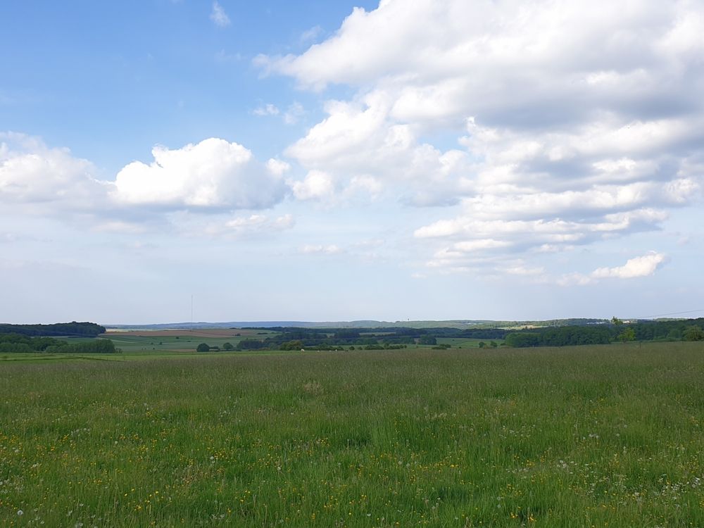
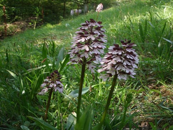
Panoramic hiking trail across the plateau along the Héikräiz geotope - highly recommended in spring in sunny weather.

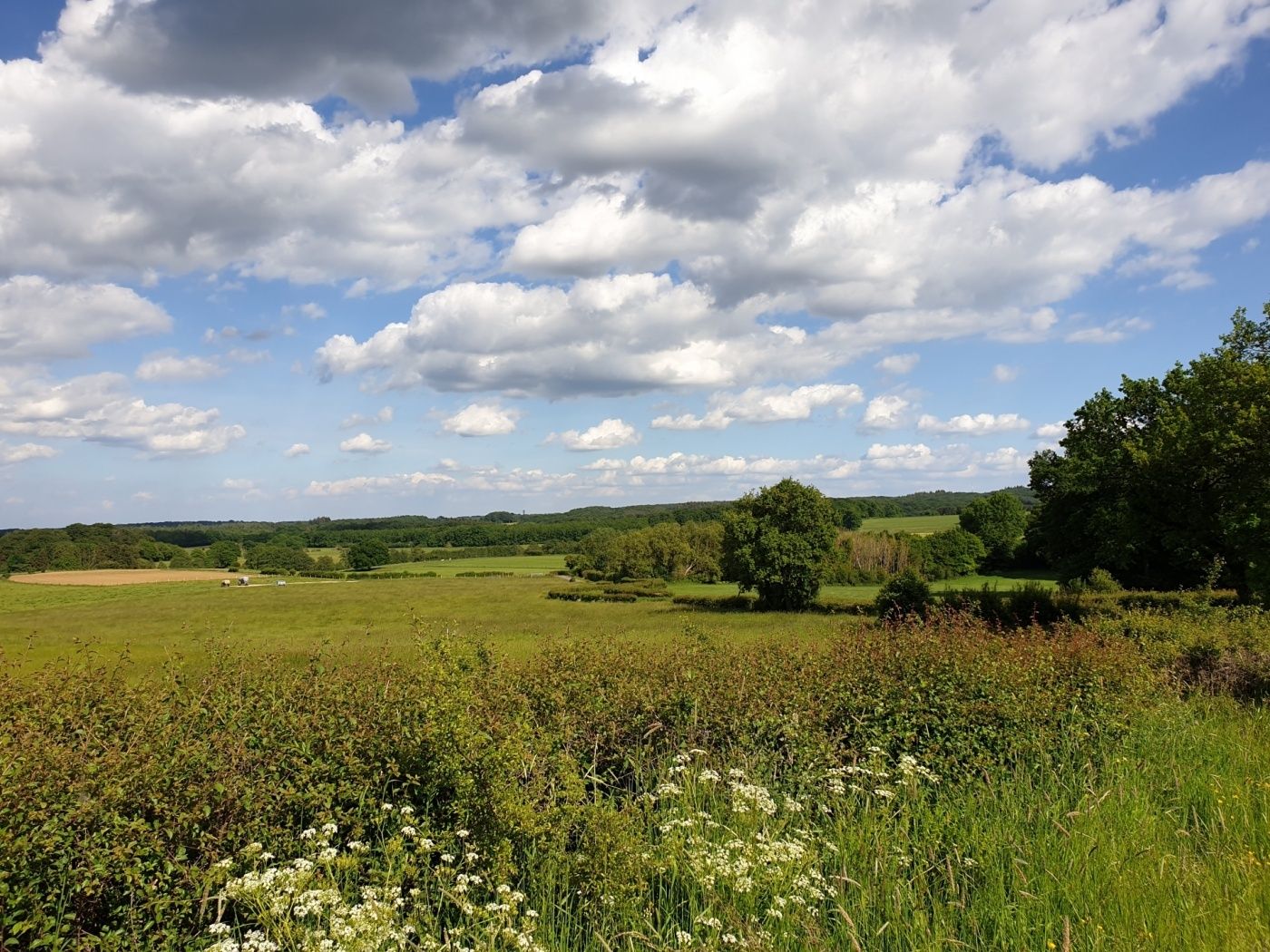
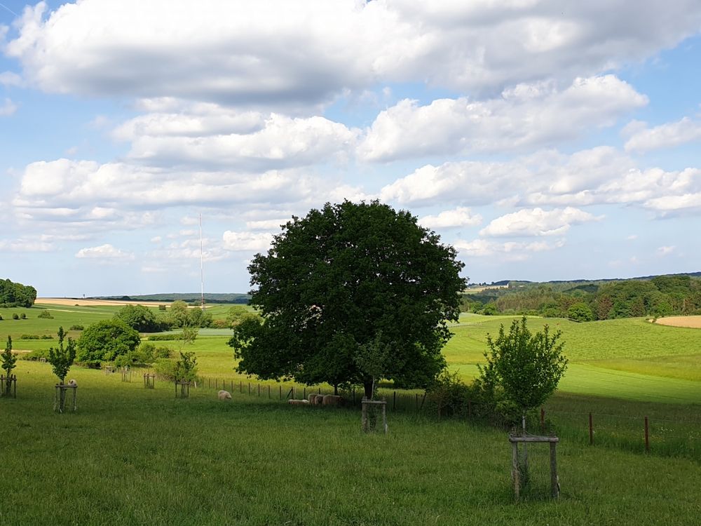
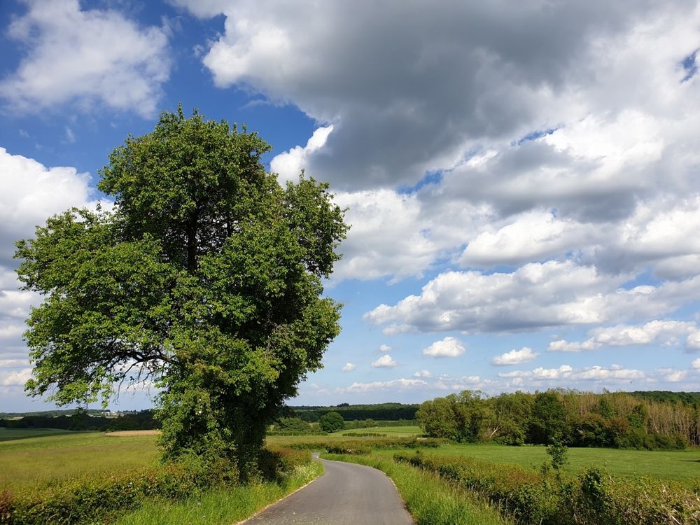
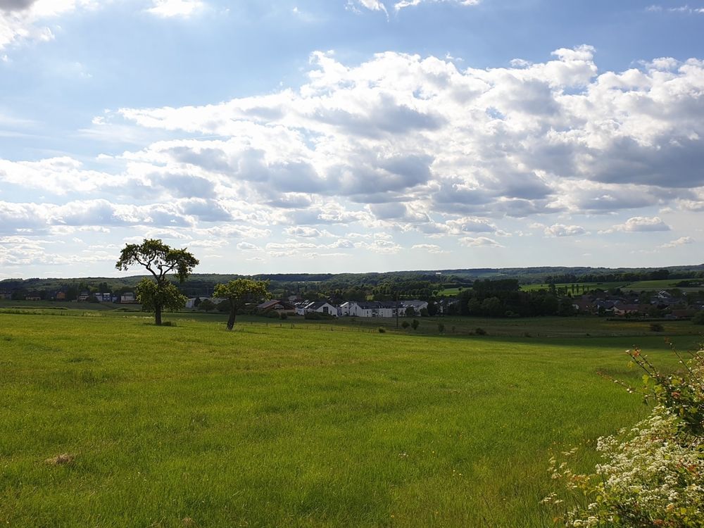
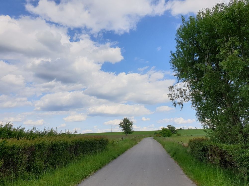
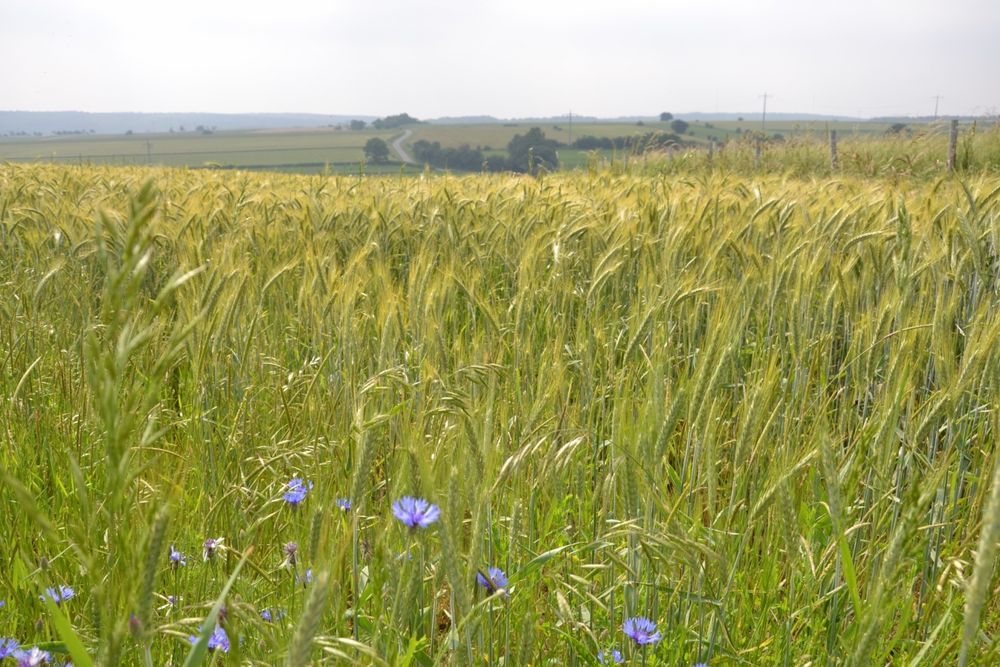
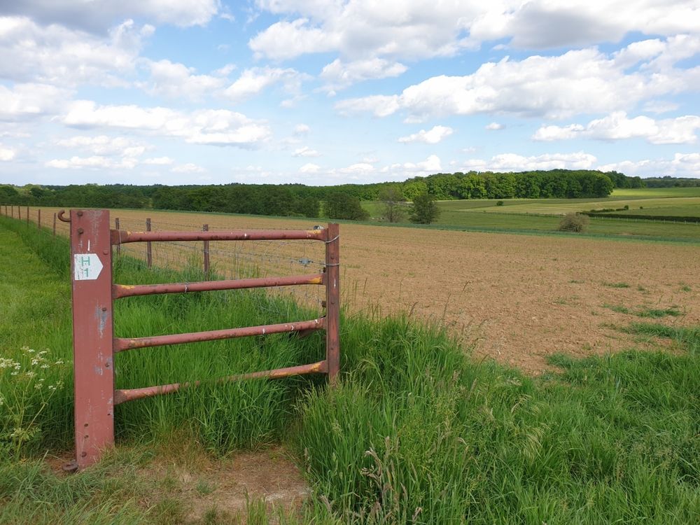
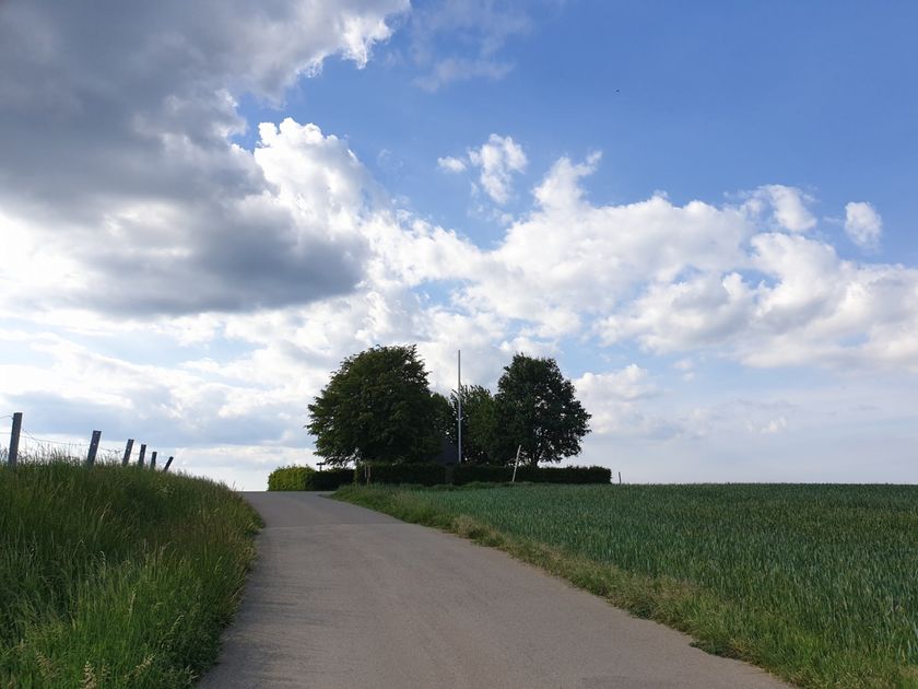
This path in Heffingen leads through wide fields and gives you beautiful views.

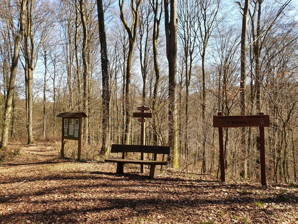
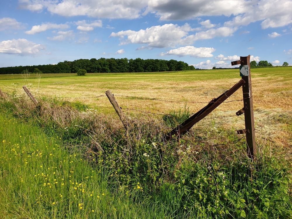
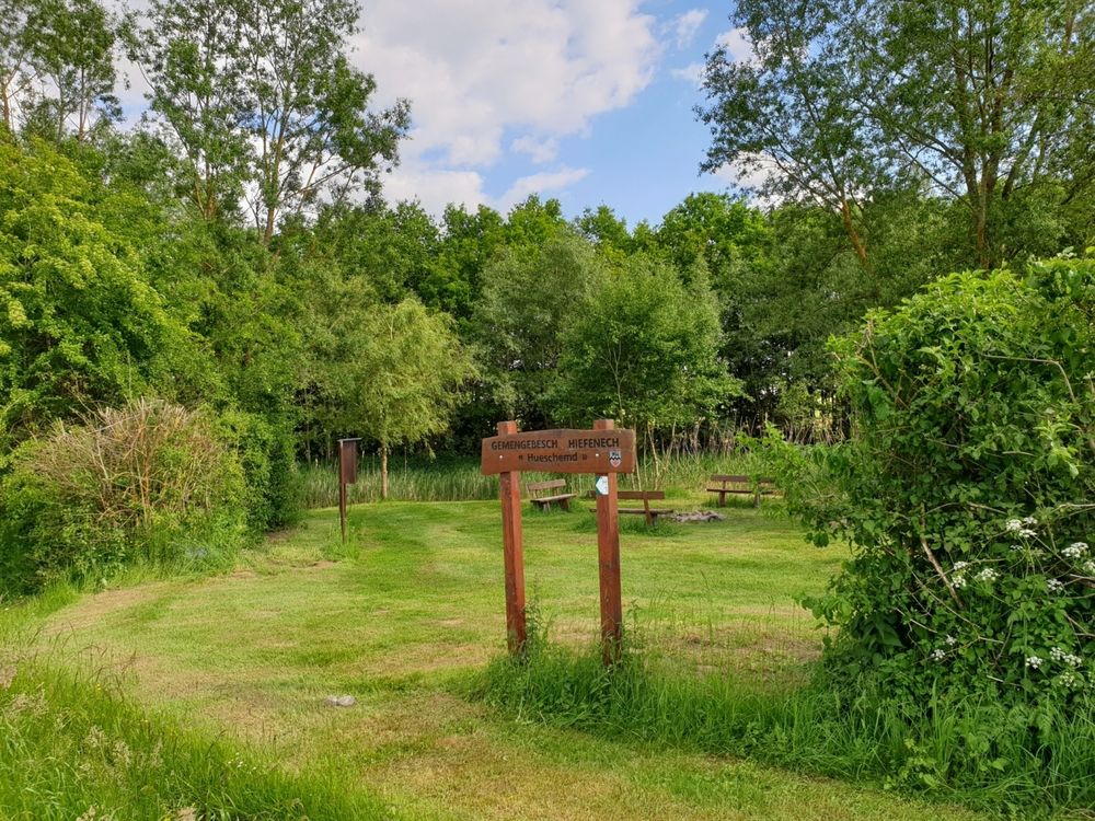
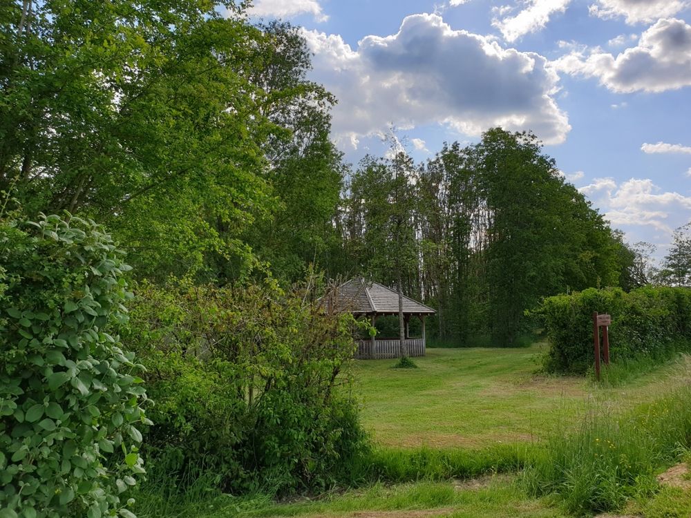
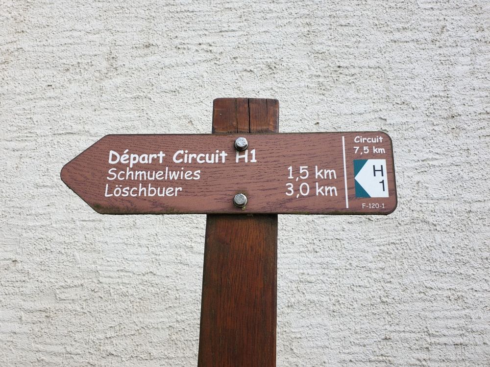
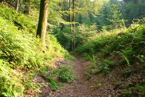
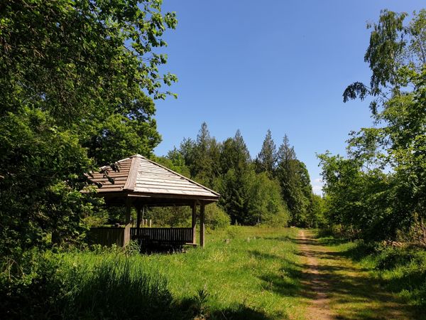
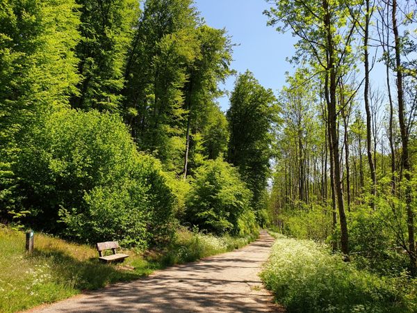
You start at the school, then turn right and pass through the fields until Huechemd. This is a small forest area on the right side where you can take a rest on one of the benches and enjoy the view.

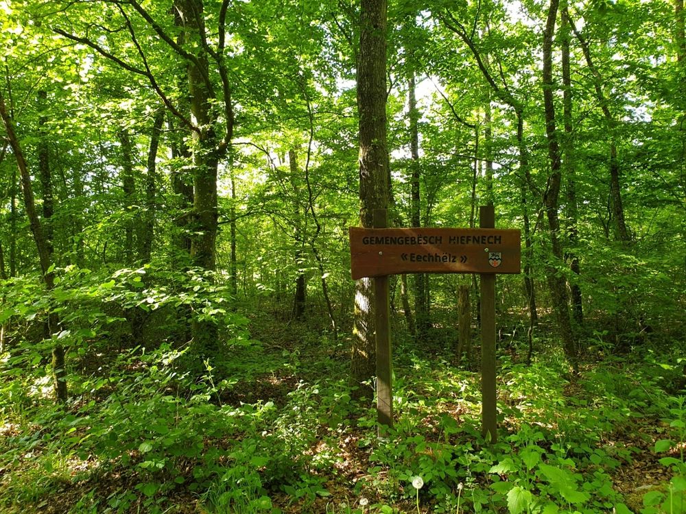
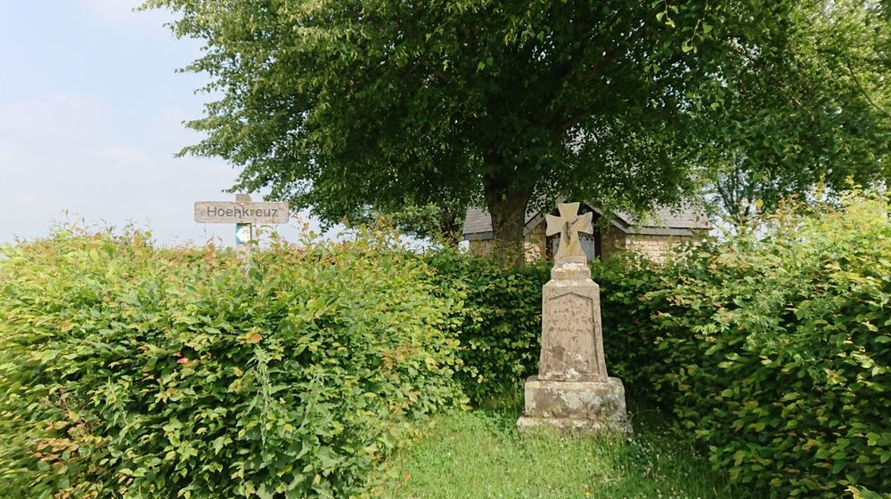
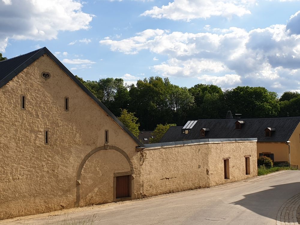
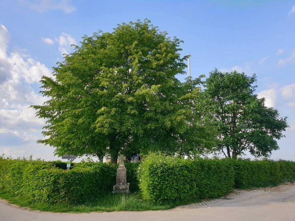
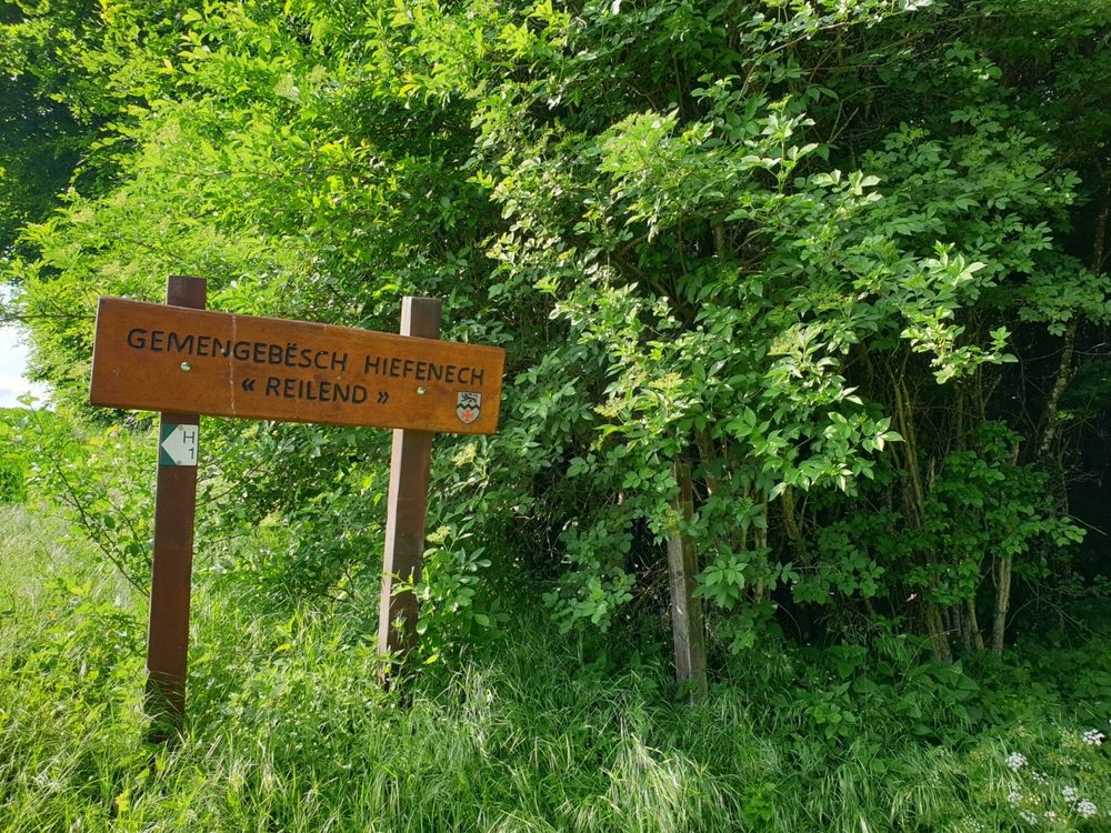
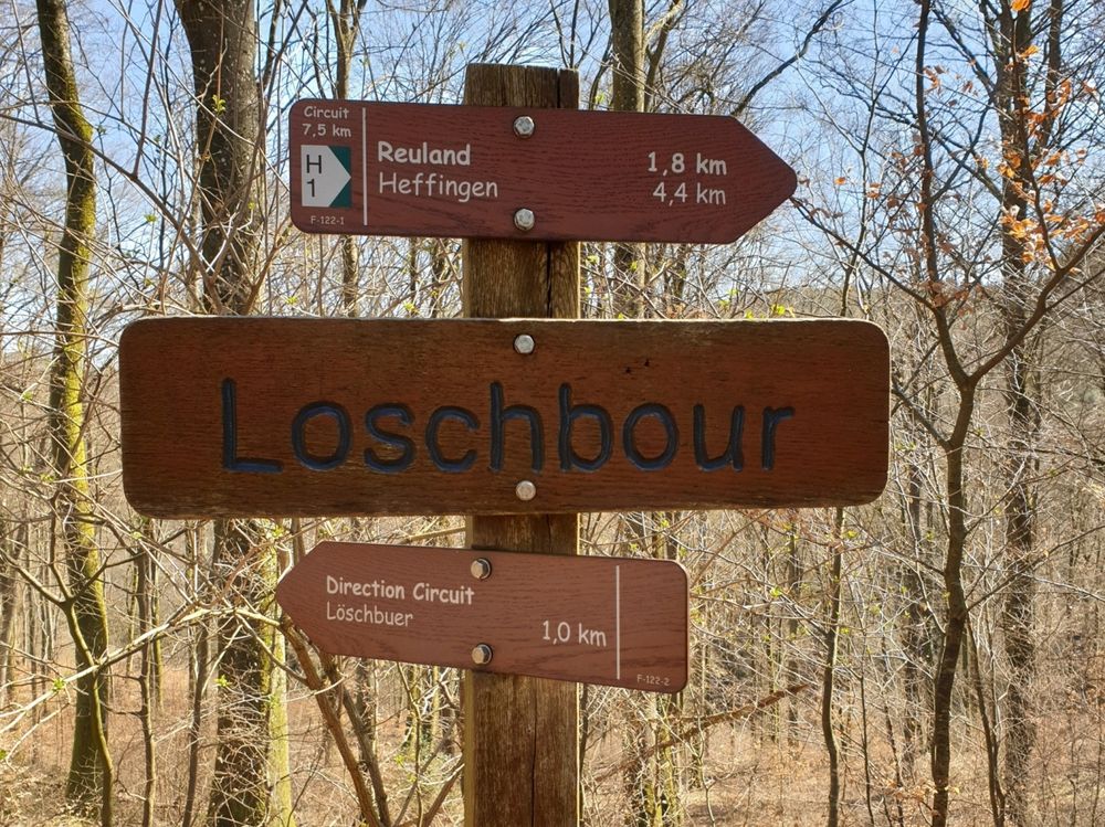
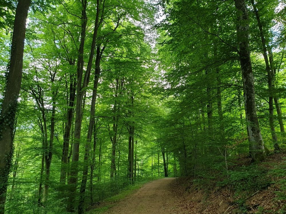
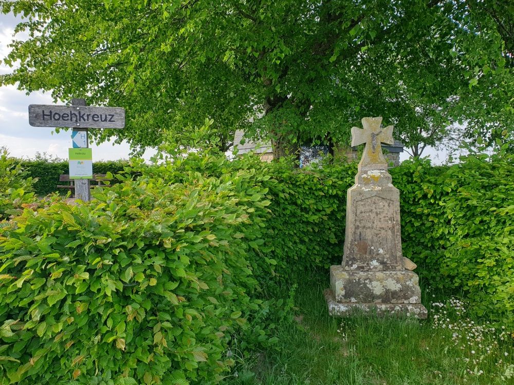
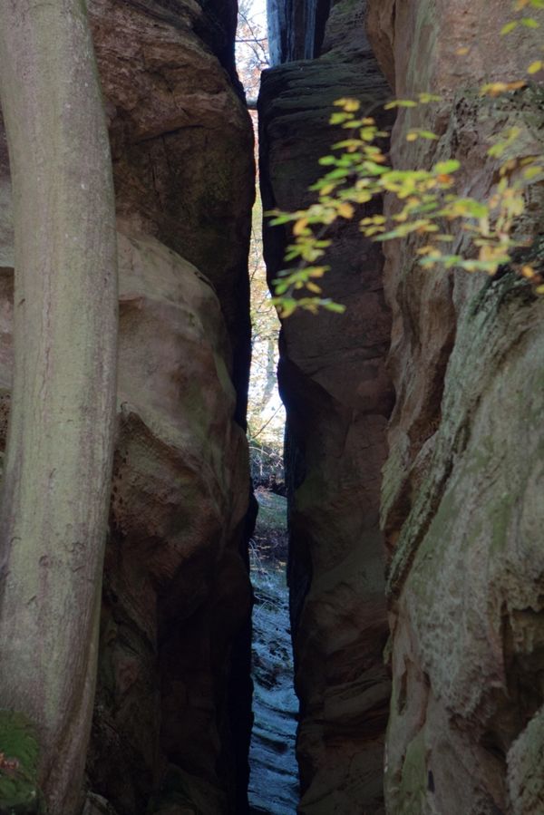
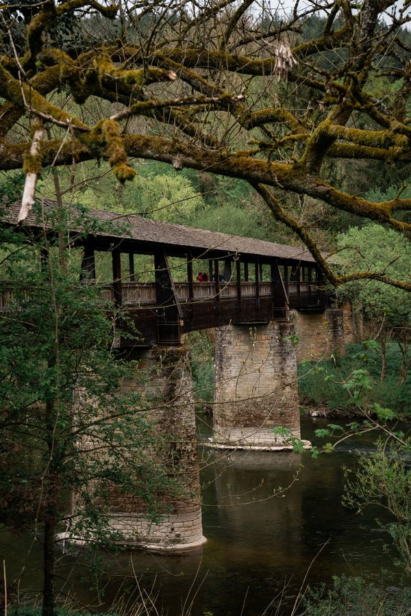
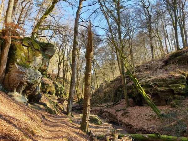
Further on, you walk through the dense forest next to the valley of the Black Ernz. You pass Reuland and then go back to Heffingen next to Héikräiz, a stone cross and a small chapel with a nice view. The Héikräiz is a Geotop from the UNESCO Global Geopark Mëllerdall.


Suggestions nearby

Local hiking trail - H1

  • Picnic area Huechemd
    Picnic area Huechemd
    Find out more
  • Viewpoint "Héikräiz"
    Historic stone cross
    Find out more
  • © Café A Bau
    Cafe A Bau
    Cosy café serving snacks, bowling alley next to it.
    Find out more

Similar hiking tours

© Visit Luxembourg
Thematic paths
Circular hiking trail through the Deiwelskopp nature reserve
Distance: 8,50 km
Duration: 2:27 h
Difficulty: medium
Find out more
© Visit Luxembourg
Circular routes
Local hiking trail - F2
Distance: 4,10 km
Duration: 1:13 h
Difficulty: medium
Find out more
© Visit Luxembourg
Circular routes
Local hiking trail - F4
Distance: 3,21 km
Duration: 0:57 h
Difficulty: medium
Find out more
© Visit Luxembourg
Circular routes
Local hiking trail - B13
Distance: 2,78 km
Duration: 1:00 h
Difficulty: medium
Find out more
© Tom Barnich, Visit Berdorf
Circular routes
Local hiking trail - B17
Distance: 6,14 km
Duration: 1:40 h
Difficulty: medium
Find out more
© Visit Luxembourg
Thematic paths
Well-Being Trail - Nommern
Distance: 4,35 km
Duration: 1:22 h
Difficulty: medium
Find out more
© Visit Luxembourg
Circular routes
Local hiking trail - B11
Distance: 2,85 km
Duration: 0:46 h
Difficulty: medium
Find out more
© Visit Luxembourg
Circular routes
Local hiking trail - F5
Distance: 4,24 km
Duration: 1:12 h
Difficulty: medium
Find out more
© Visit Luxembourg
Thematic paths
Didactic nature path "Joffer Margot"
Distance: 6,88 km
Duration: 2:00 h
Difficulty: medium
Find out more