Description
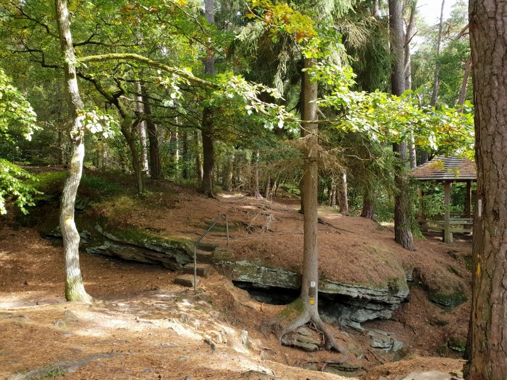
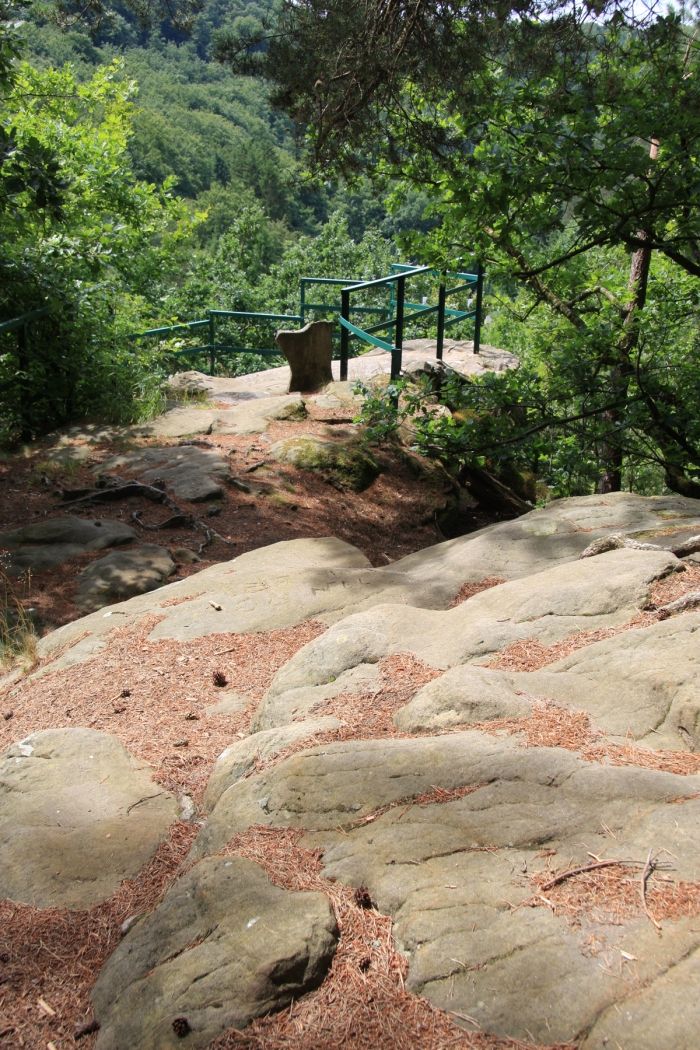
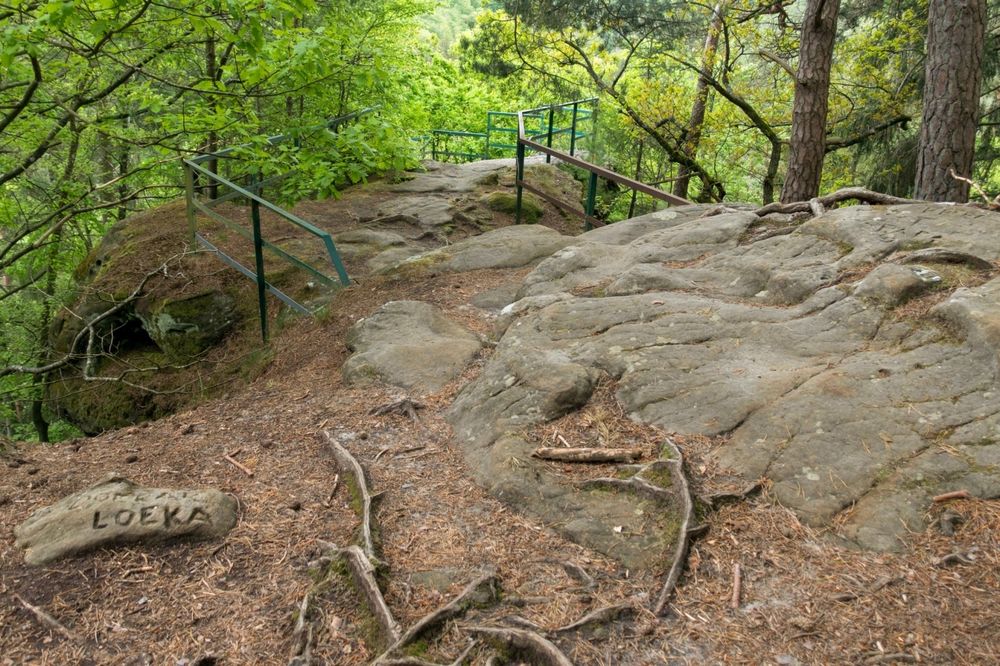
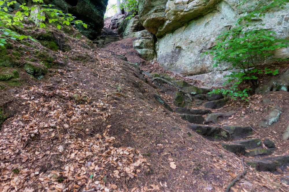
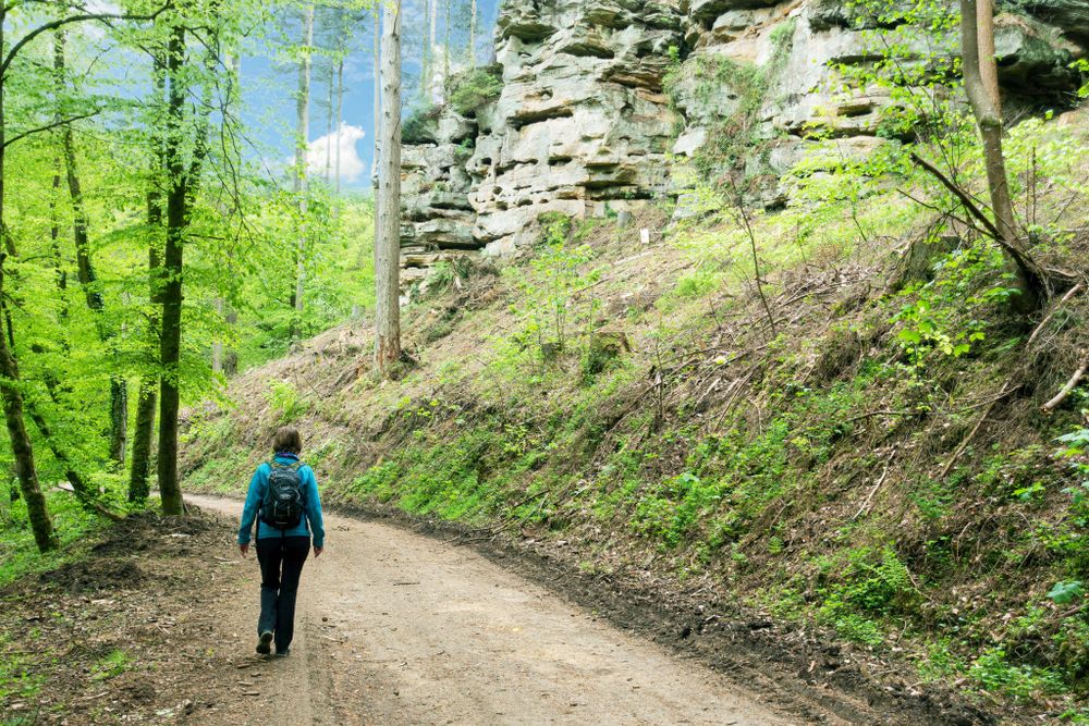
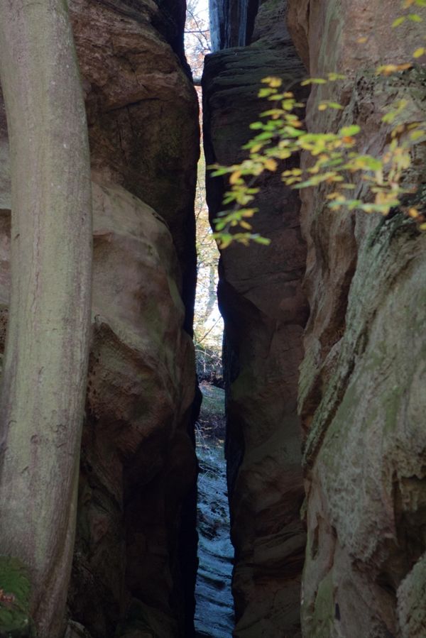
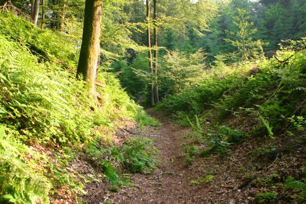
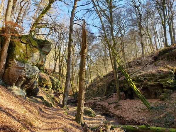
This short hike passing on many small paths takes you down into the valley, through a narrow crevice on a bit tricky steps . When you come to the road, you have made already half of the path. From here the path leads uphill again, along the imposing rocky landscape and back to Consdorf.
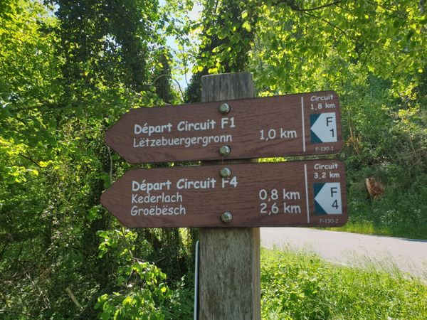
Signposting

Directions
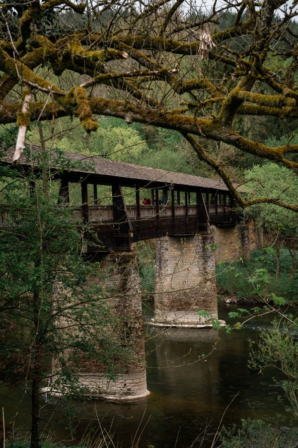
Tricky steps through a narrow crevice in the rock lead into the valley of the Konsdrefer Baach (the brook of Consdorf). After crossing the Fluedebuer car park and the main road, the path leads a bit up the stream along the Härdbaach.
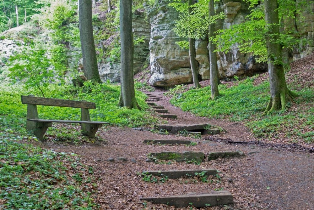
Using a narrow path, you climb up again, past a small spring, popularly known as Nidderbierchelchen (small fountain).
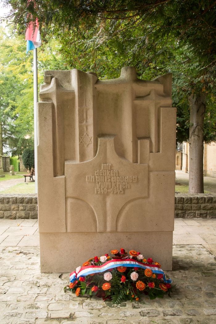
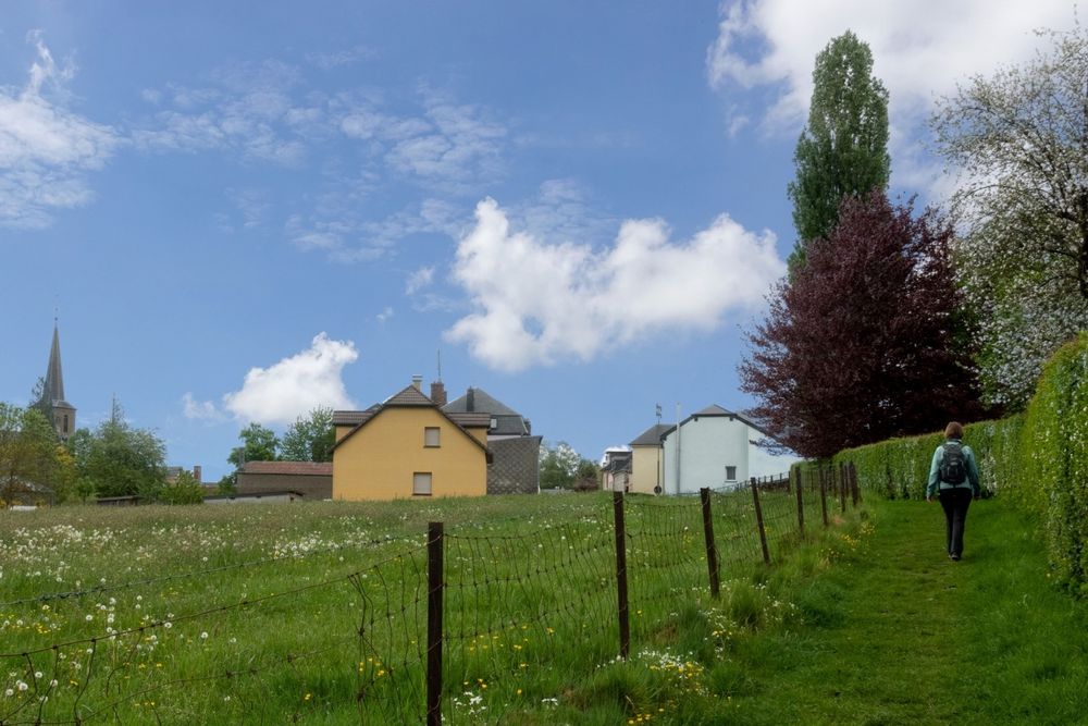
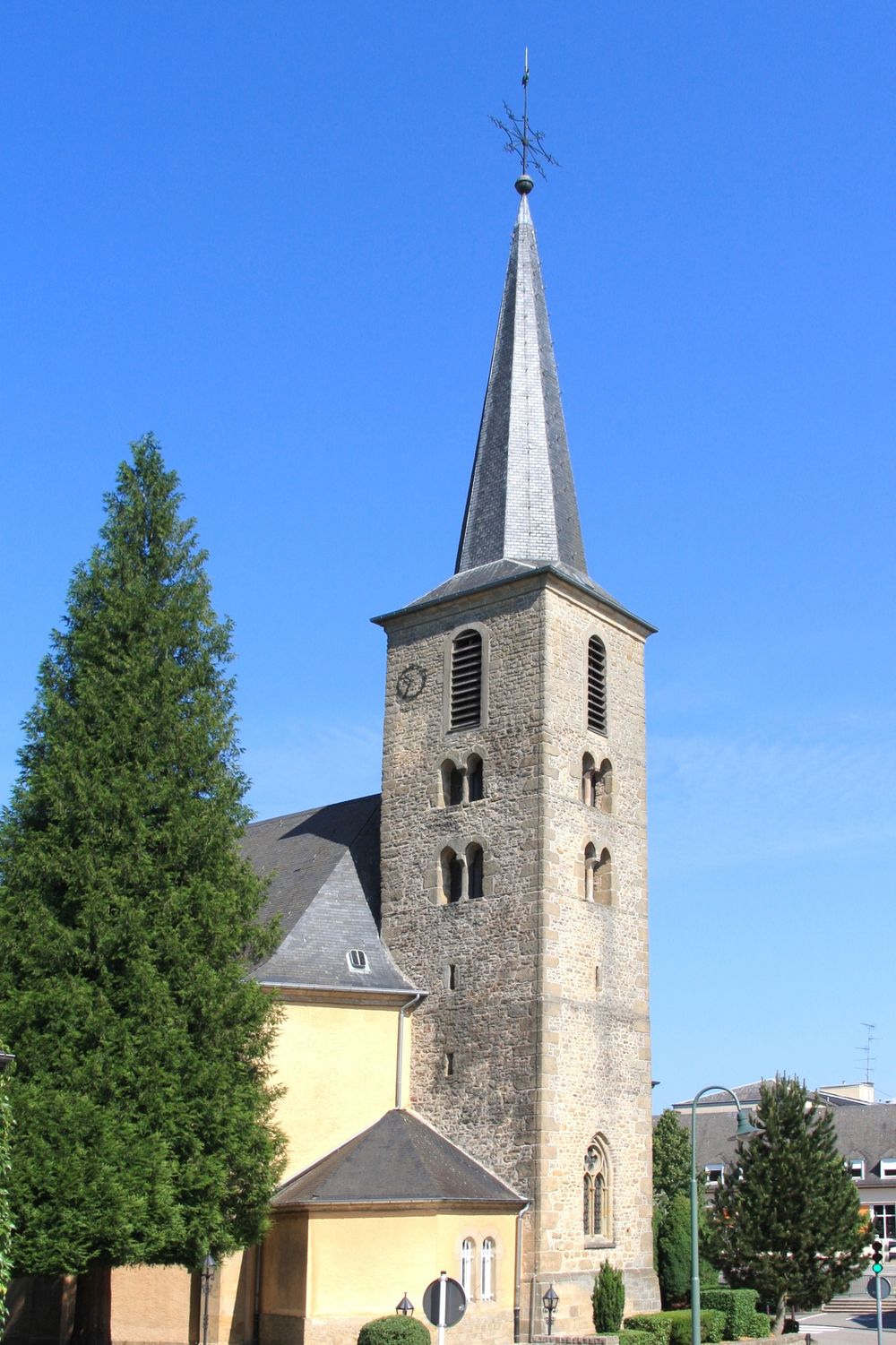
In the center of the village, the remarkable Gothic church tower, protected as a national monument,is an eye catcher. The memorial next to the church commemorates the citizens of Consdorf who died in World War IIas well as the victims of a typhus epidemic that broke out in Consdorf in 1945.
Passing the elementary school, the old people's home and the cemetery at "Buergkapp", you reach your starting point again.
Equipment
Journey
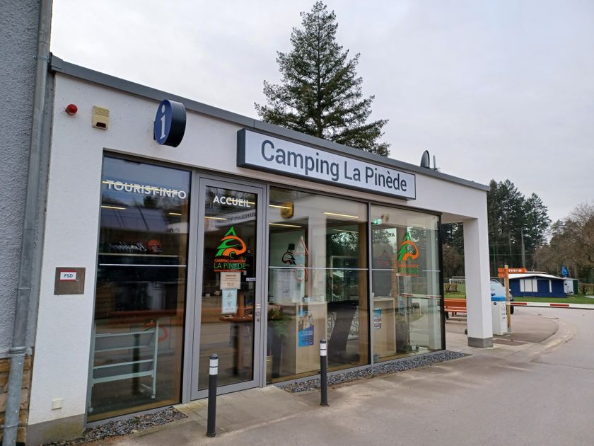
Parking: Nearest parking is: Camping (50 m)


 This website uses technology and content from the Outdooractive Platform.