Circular routes Visit Luxembourg
Description
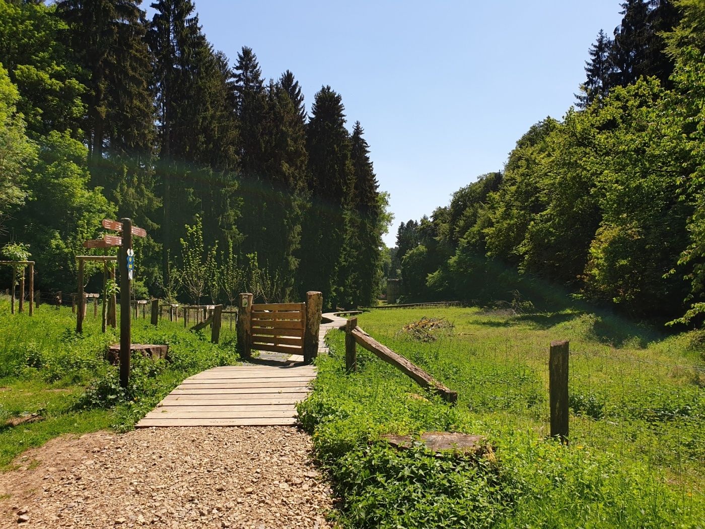
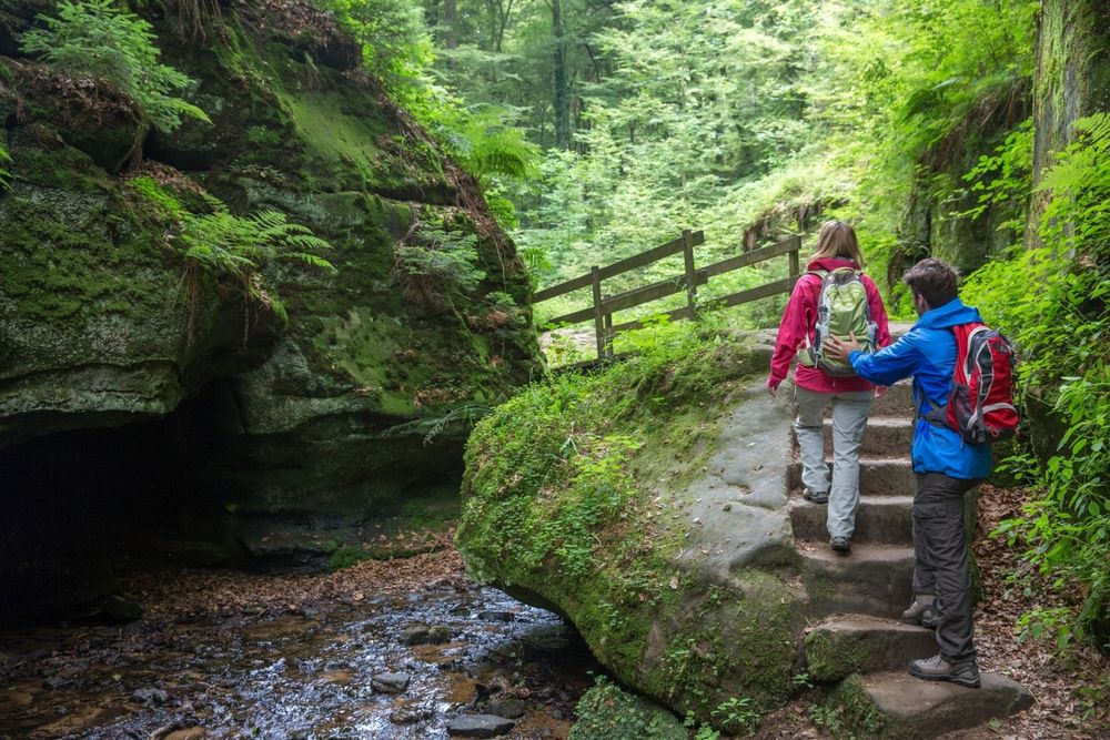
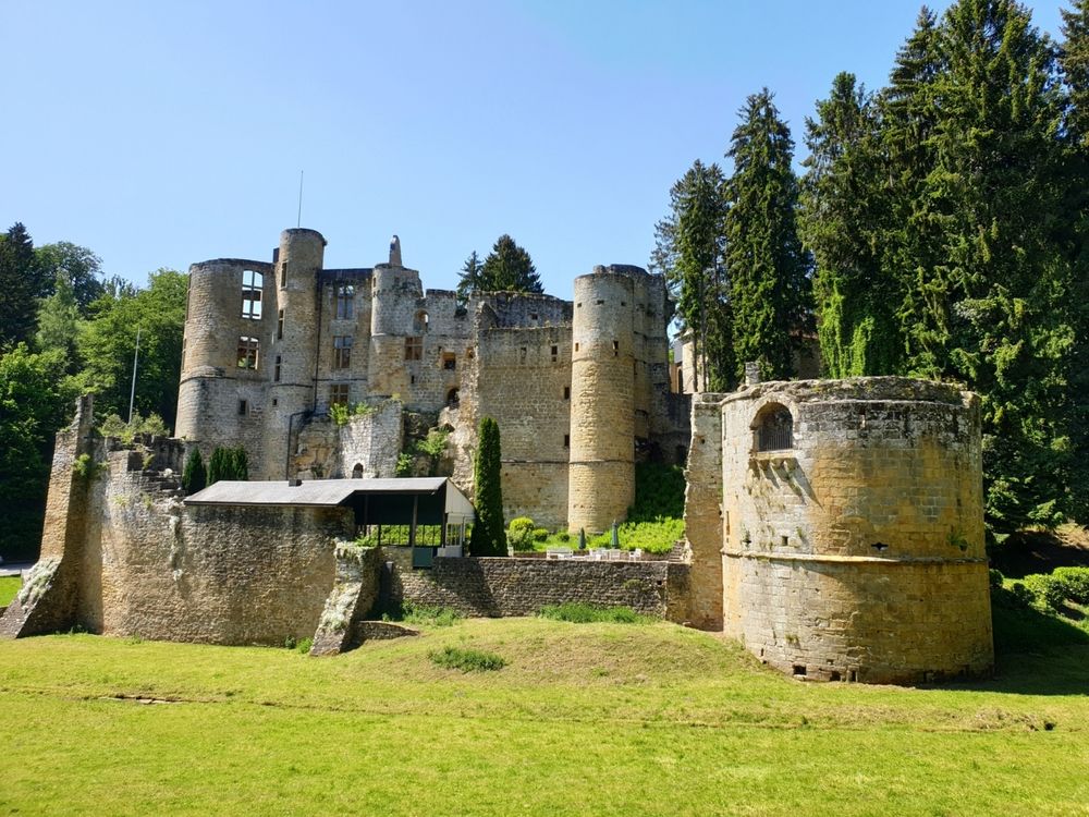
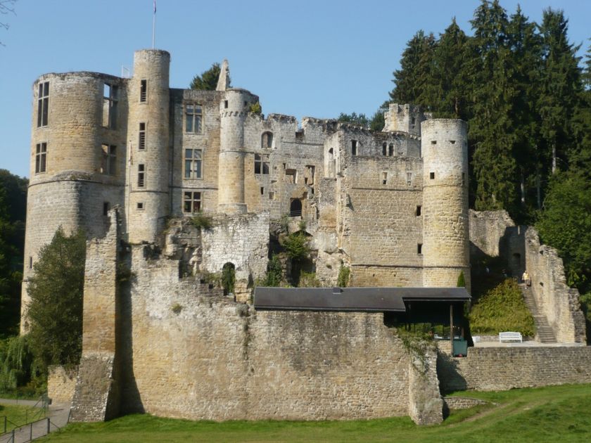
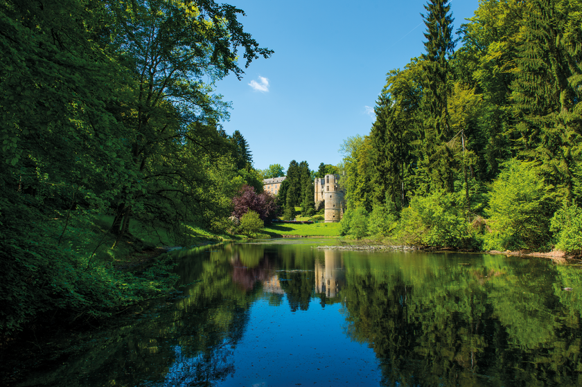
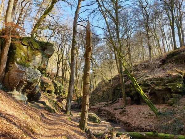
Long hike, mainly leading over Route 3 of the Mullerthal Trail. Highlights are the castle in Beaufort, wild valleys and spectacular rock formations.
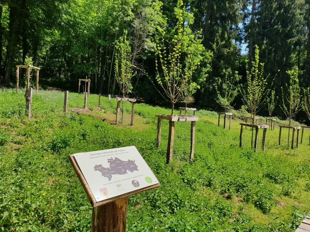
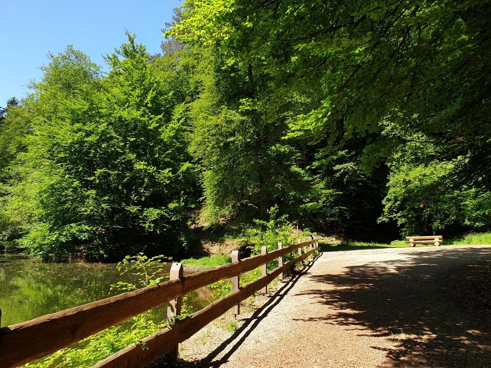
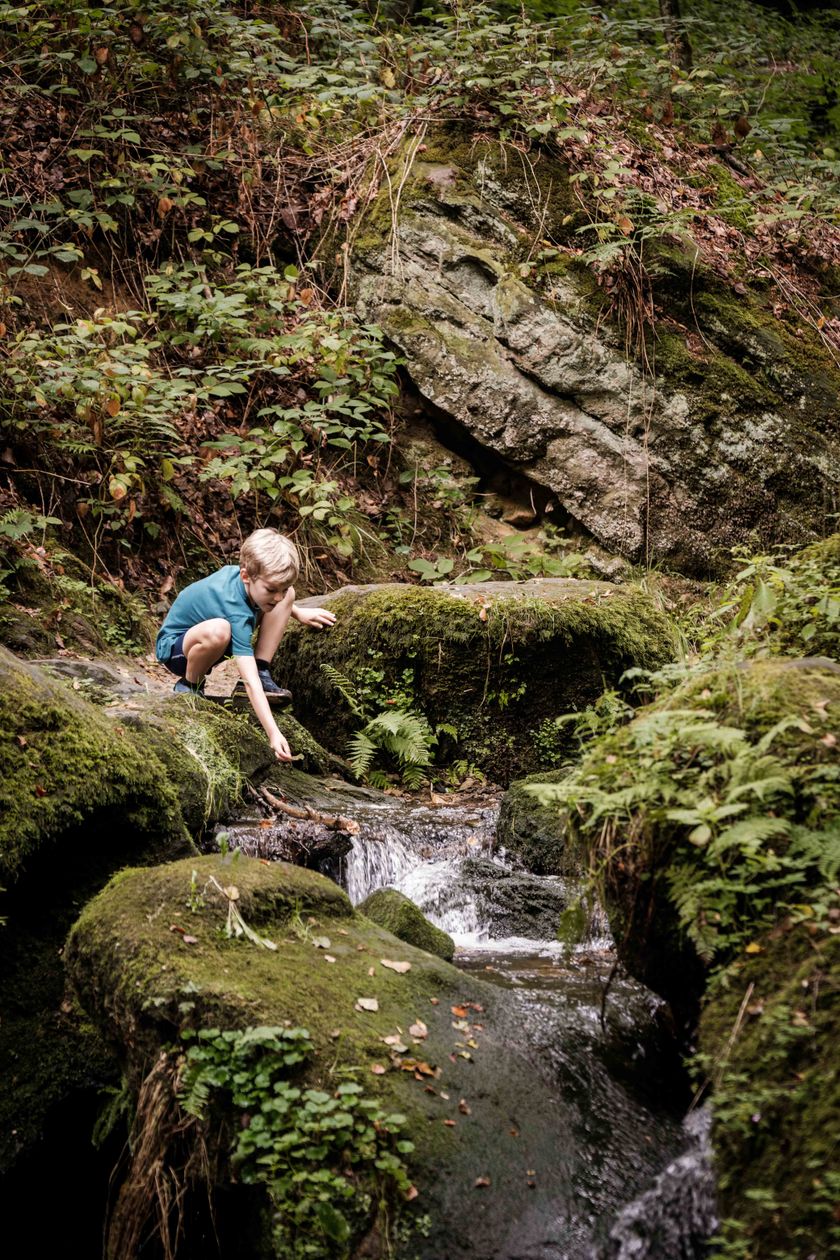
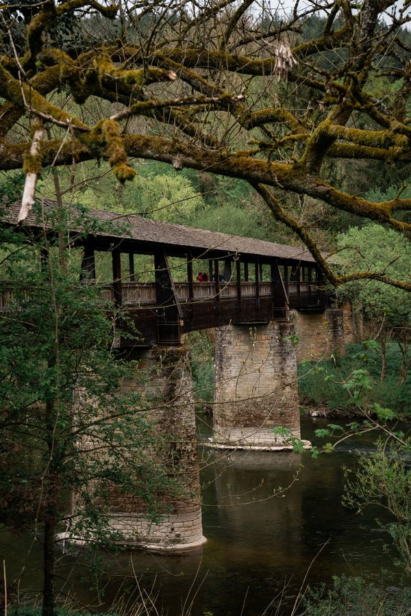
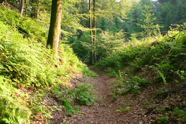
The trail leads through forests and along the wildly romantic creeks of Haupeschbaach and Halerbaach. You get different perspectives in all the seasons.
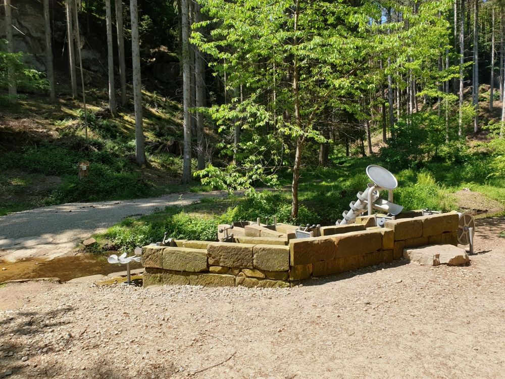
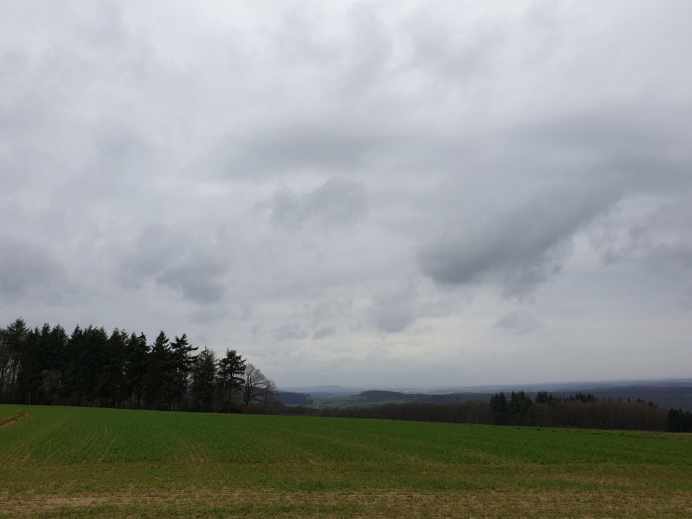
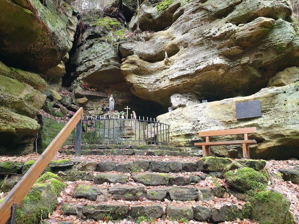
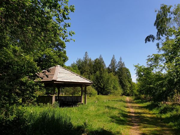
You start at Beaufort castle and pass by Klingelbur, an old washbasin. The hike also leads along the ancient refuge castle of Alebuerg and then Grevenhaff where you will enjoy a beautiful view.
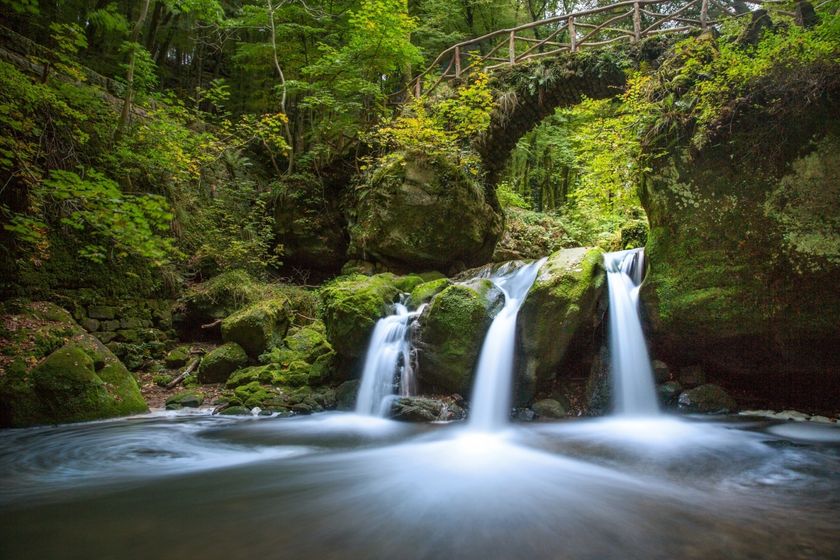
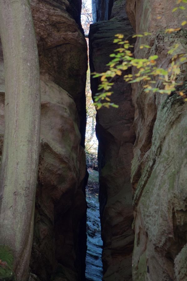
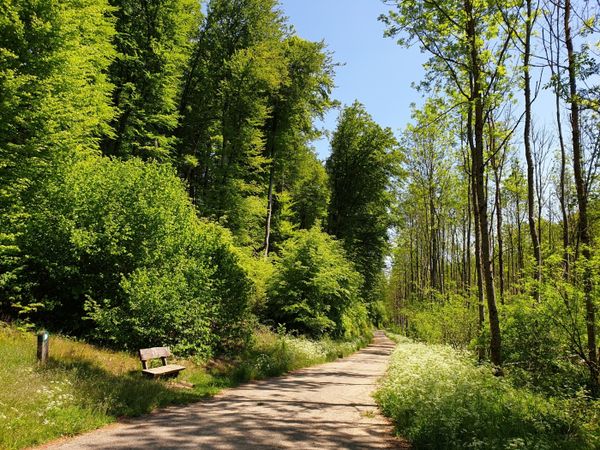
You wind your way back to the starting point along spectacular rock formations like Ellerlee and Brenteschlee.
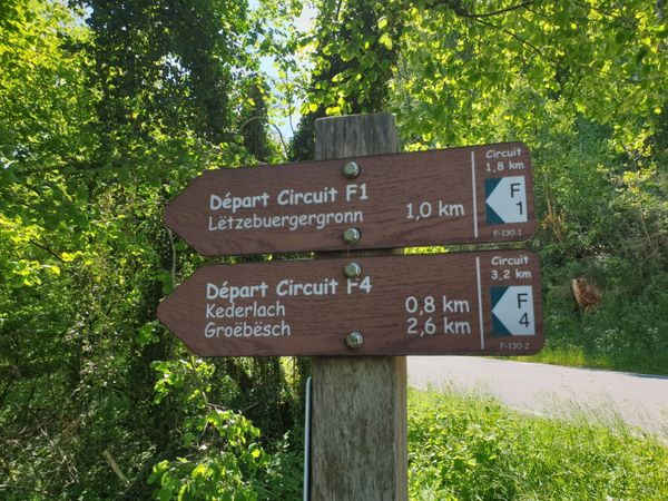
Signposting

Equipment
Sturdy shoes and something to drink.
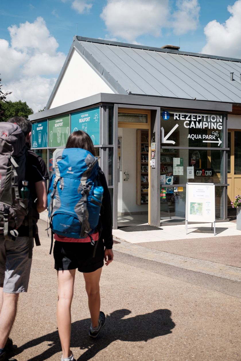
Journey
Public transport: Closest bus stop: Beaufort, Op der Gare (800 m)
Parking: Closest parking lot: on site
Parking: Closest parking lot: on site


 This website uses technology and content from the Outdooractive Platform.