© Visit Luxembourg
Müllerthal Germany France

Local hiking trail - B5

Starting point
Berdorf: Tourist Info
Destination
Berdorf: Tourist Info
Distance
5,75 km
Duration
1:40 h
Difficulty
easy
  • Condition
Highest point
374 Hm
Lowest point
295 Hm
Aggregated Ascent
87 Hm
Aggregated Descent
87 Hm
Circular routes Visit Luxembourg

Description

Scenic
The rock formations around Berdorf are like a big adventure playground: you will discover narrow crevices, naturally created labyrinths, bizarre rock shapes and much more.

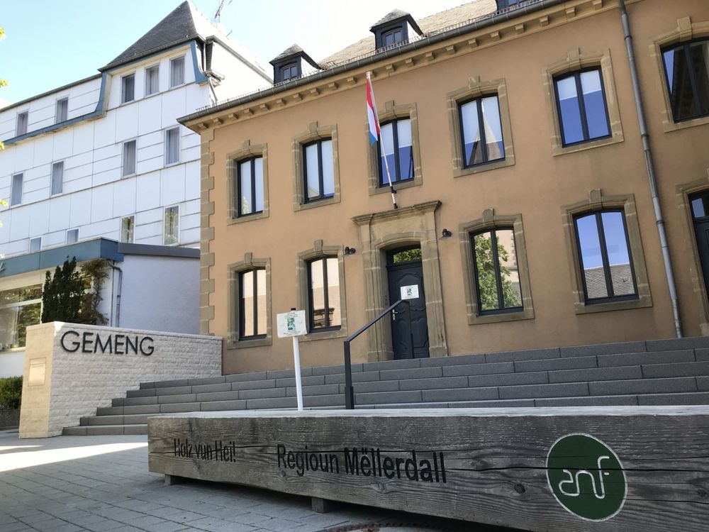
The local hiking trail B5 starts at the Martbusch leisure center, in front of the tourist information.

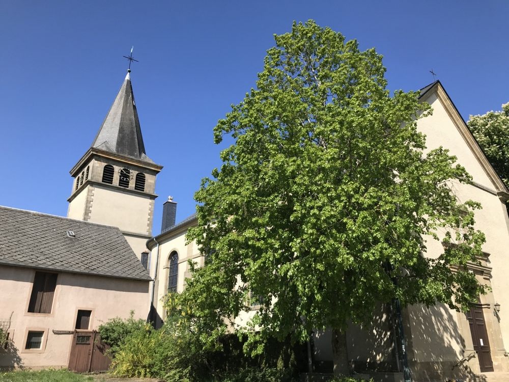
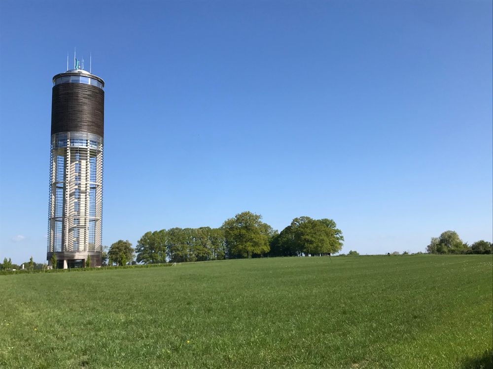
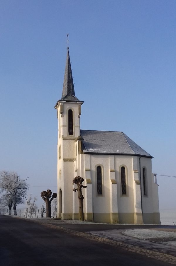
This varied path leads first through the village of Berdorf, along the church and to the 55 m high Aquatower. This tower offers from inside a wonderful panoramic view of the surroundings.

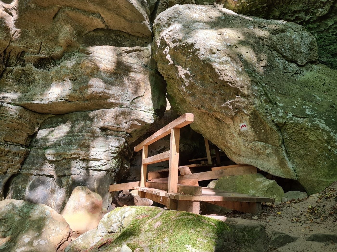
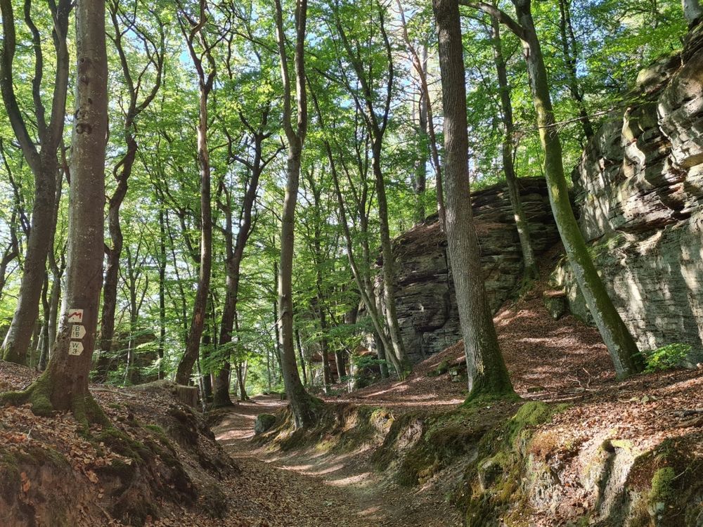
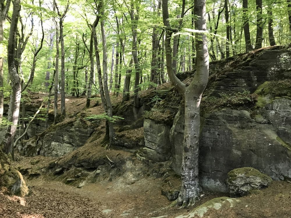
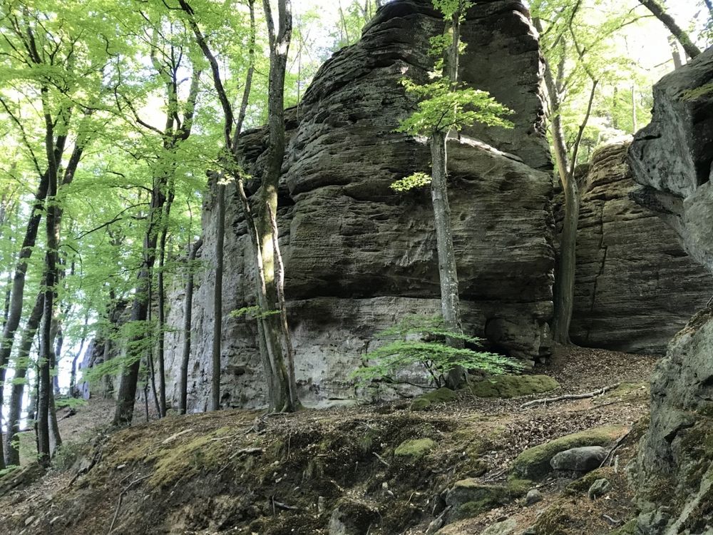
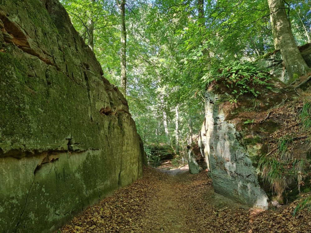
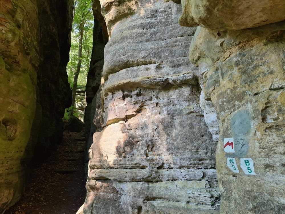
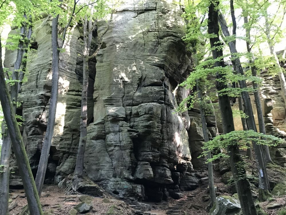
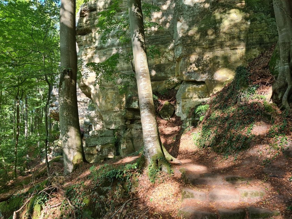
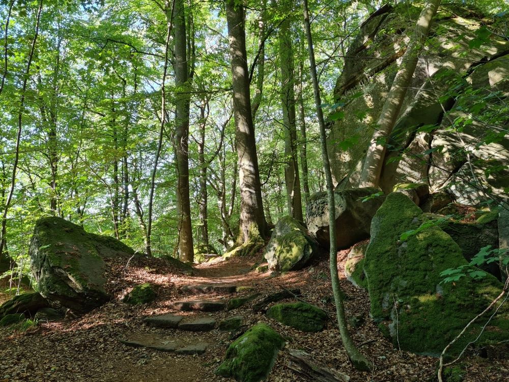
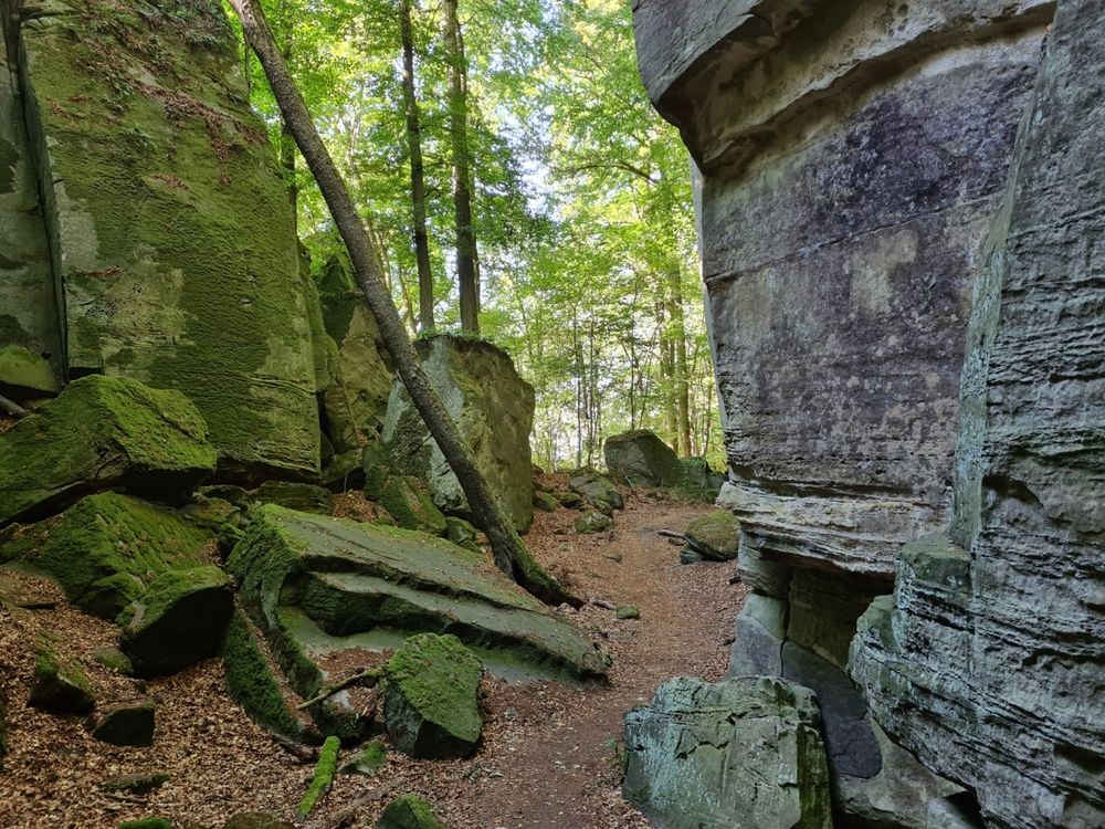
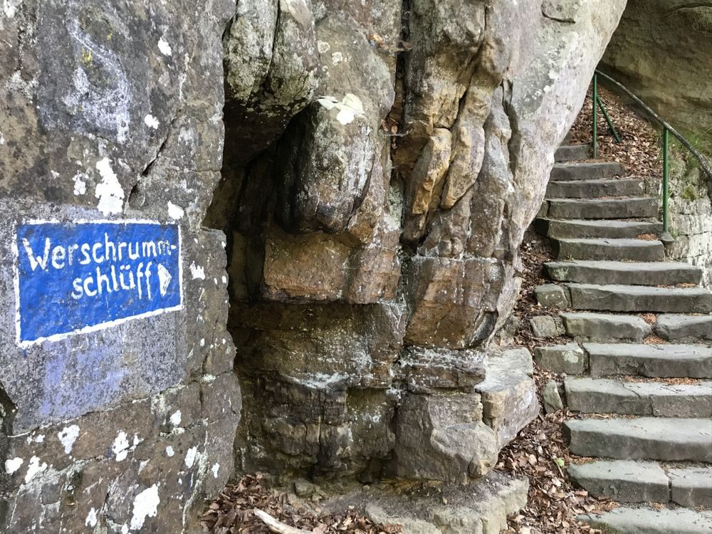
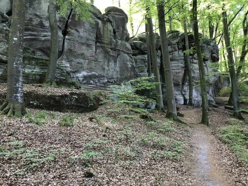
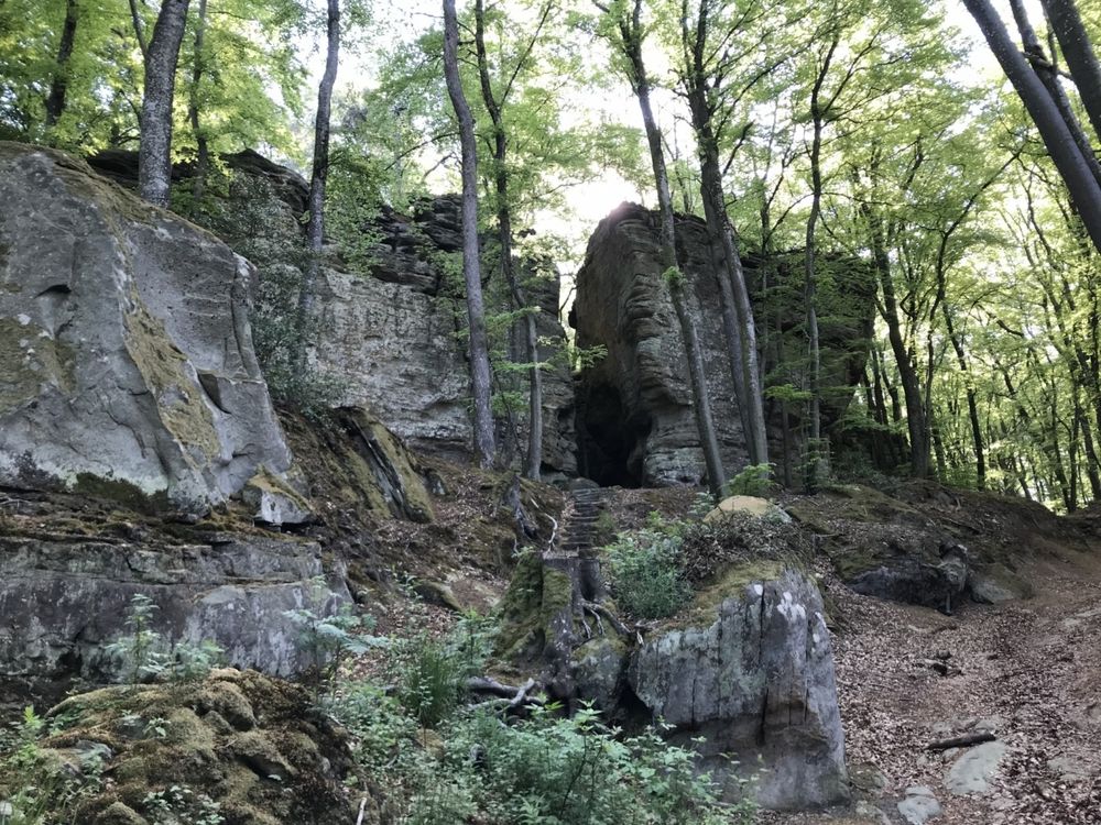
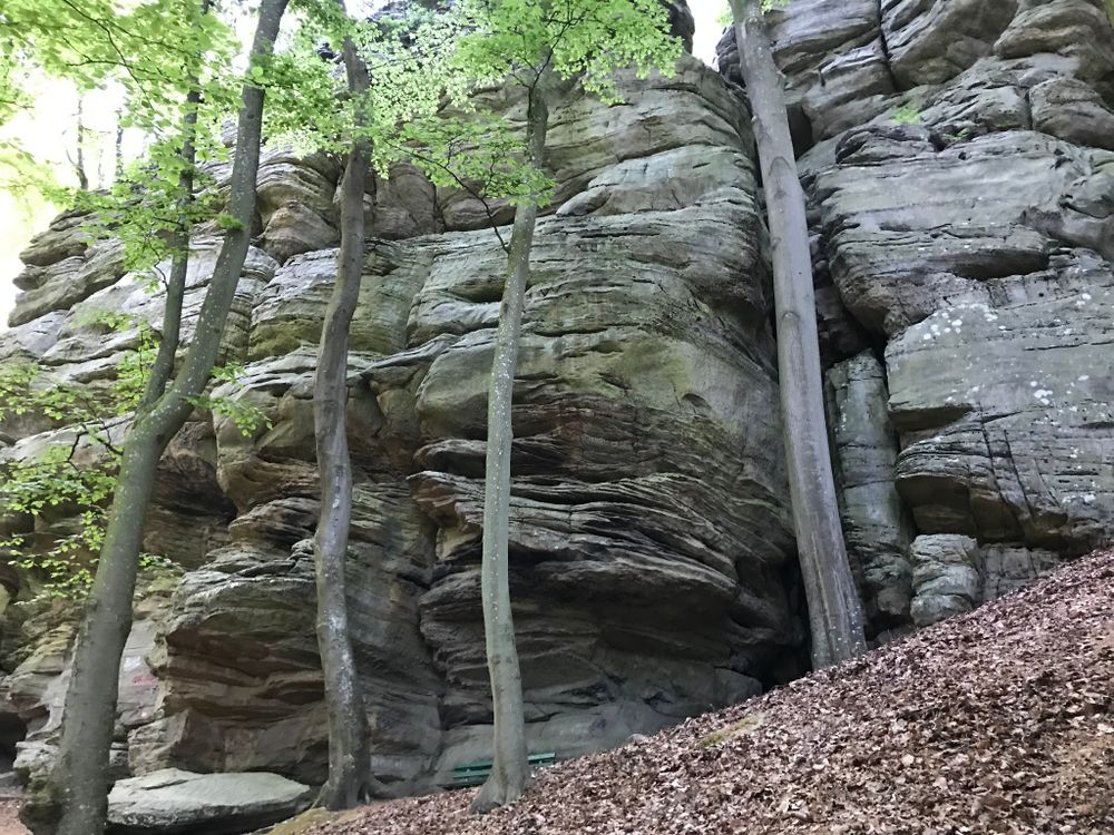
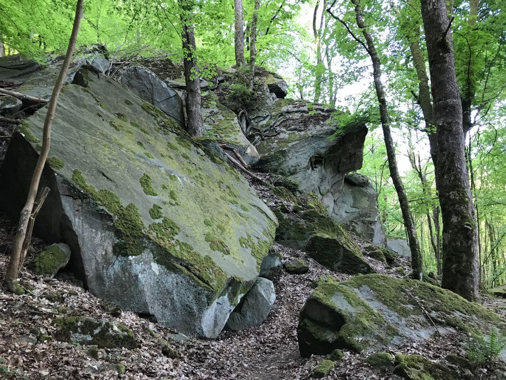
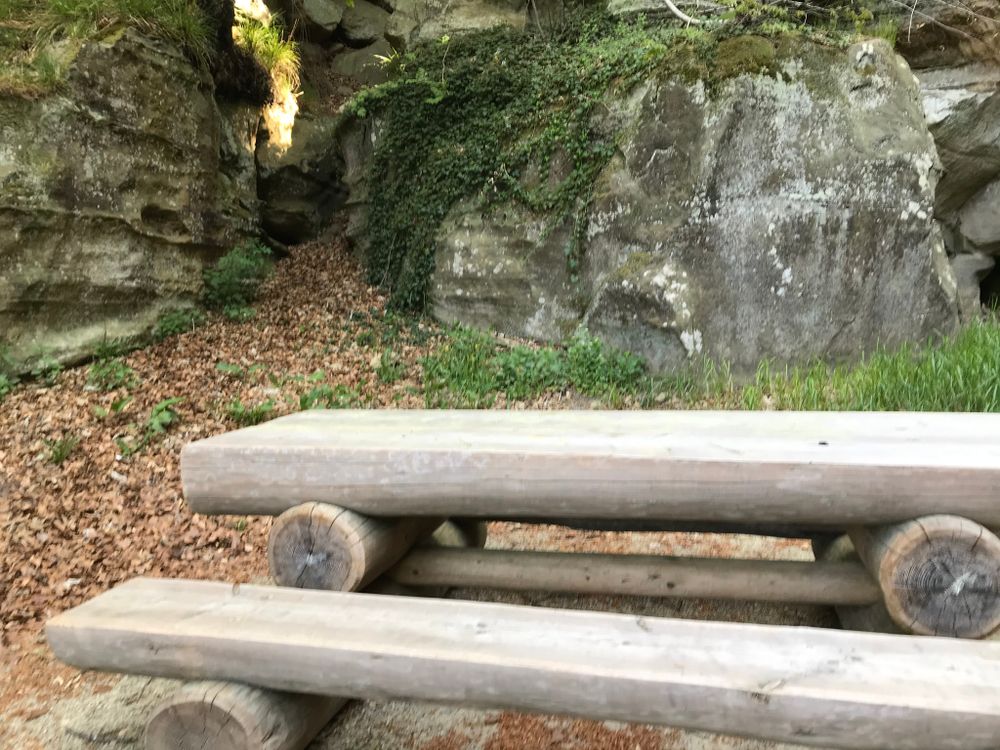
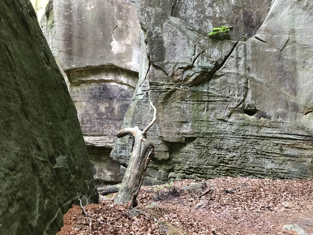
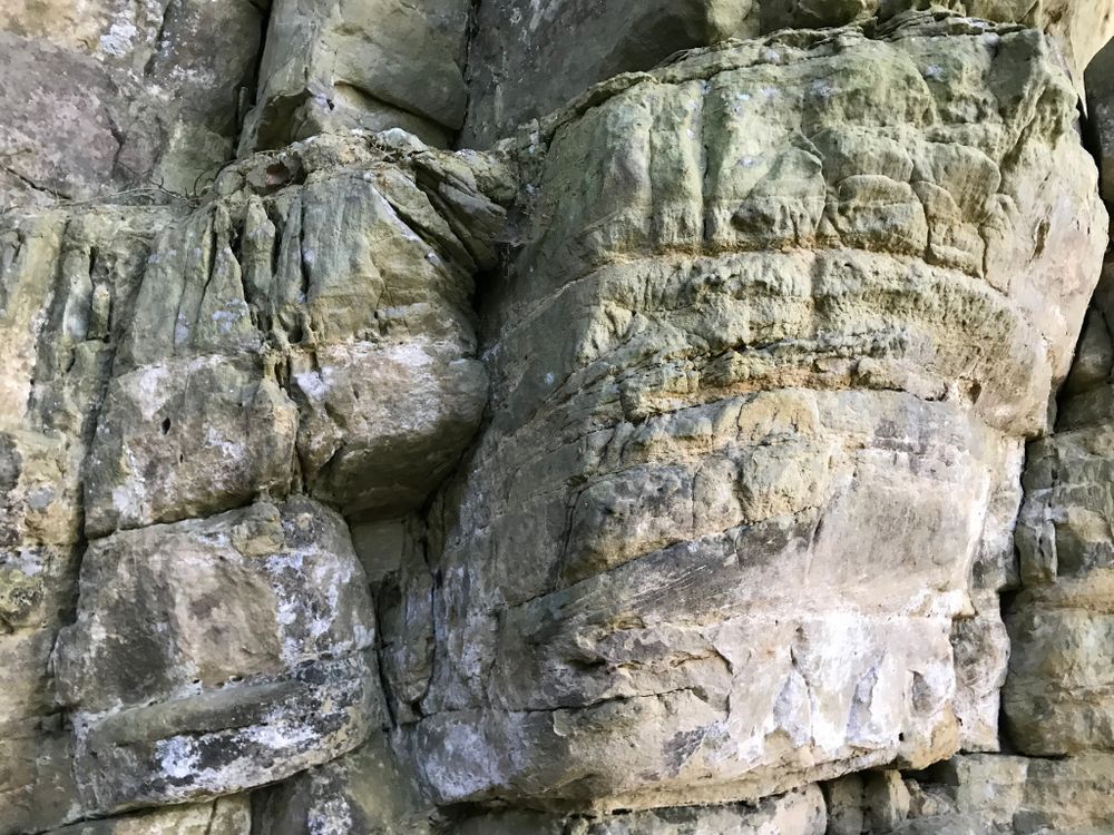
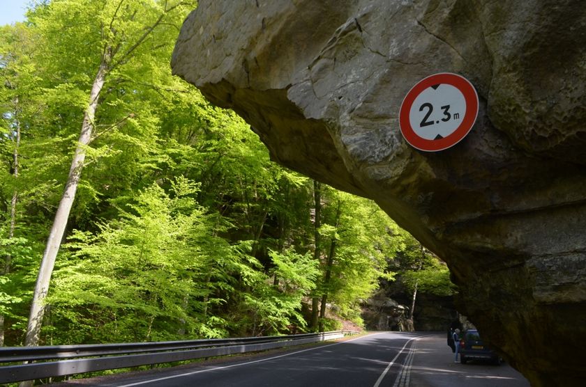
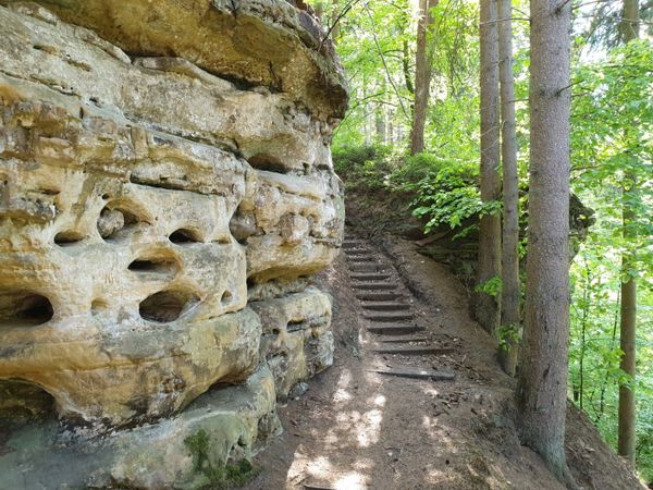
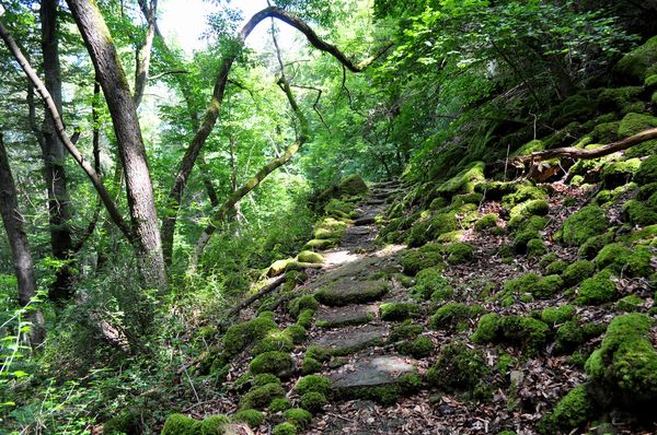
You then continue into the forest. A beautiful descent between bizarre rock formations leads along the Berdorf plateau to Werschrummschlëff. This is a labyrinth-like crevice complex, enabling you to cool down during  hot weather. You can climb the Priedegtstull right next to the Werschrummschlëff.

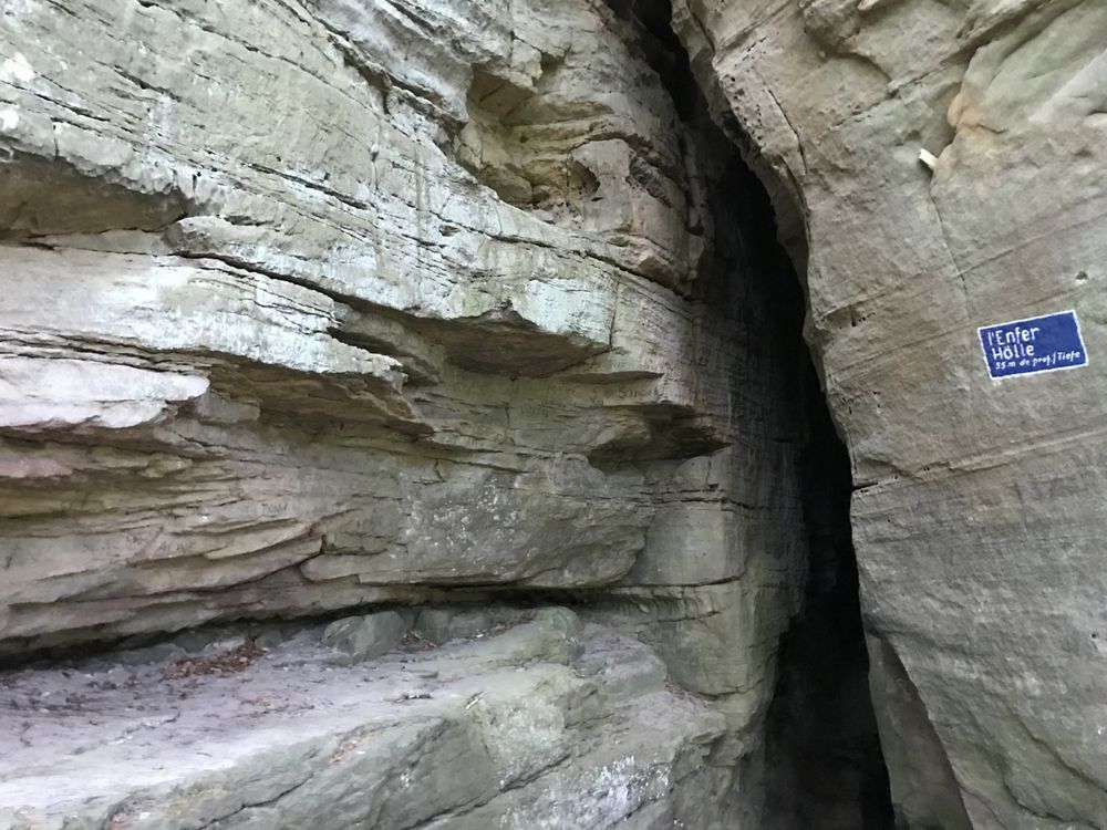
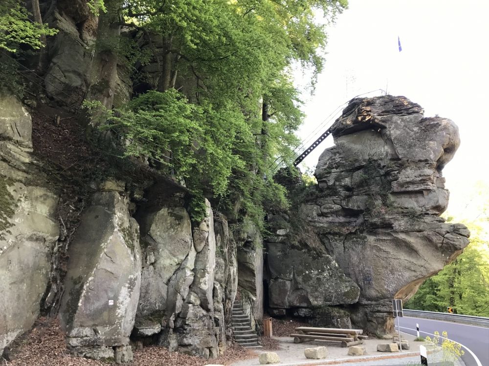
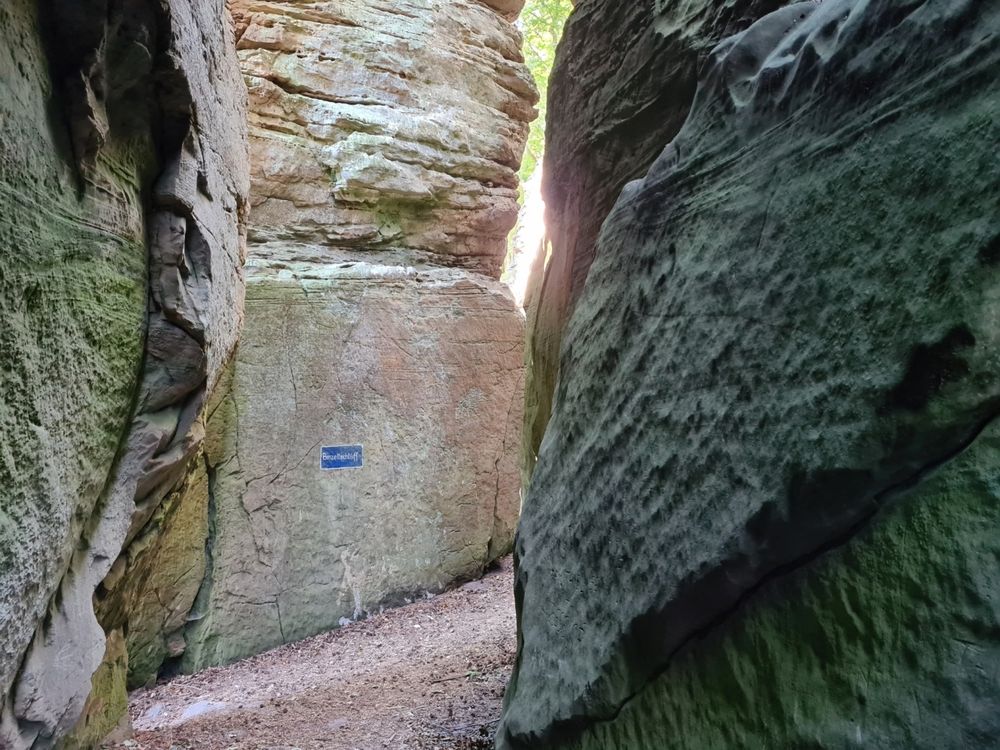
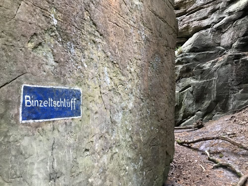
After crossing the road, you walk up to Binzeltschlëff crevice to get back to the Martbusch leisure center. You hike along the plateau and many other rock formations such as "Hell".
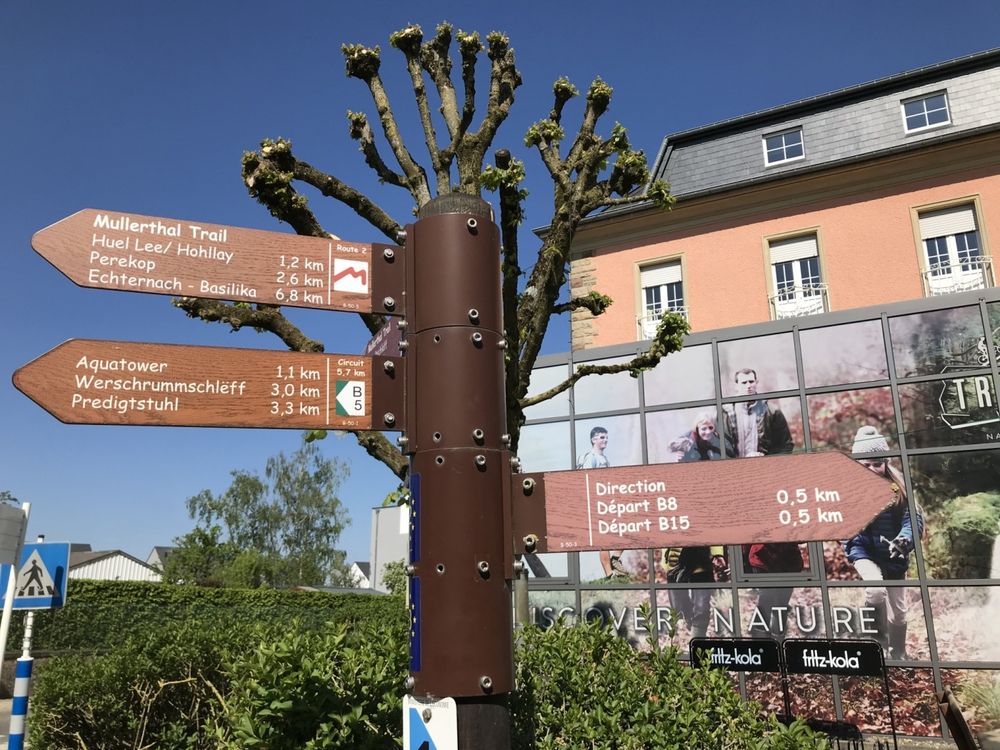
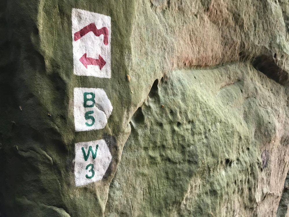
Suggestions nearby

Local hiking trail - B5

  • © Pancake! Photographie
    Tourist Info Berdorf
    Tourist Info Berdorf
    Find out more
  • © Sophie Margue
    free
    with theLuxembourgPass
    Aquatower Berdorf
    Dive into the fascinating world of drinking water in the Mullerthal Region.
    Find out more
  • Rock formation "Priedegtstull"
    The impressive rock overhangs the road and offers an impressive view.
    Find out more

Similar hiking tours

© Visit Luxembourg
Thematic paths
Hiking Trail for kids 'On the tracks of Charly'
Distance: 5,19 km
Duration: 1:30 h
Difficulty: easy
Find out more
© Visit Luxembourg
Thematic paths
Bee Trail between Waldbillig and Christnach
Distance: 4,00 km
Duration: 1:30 h
Difficulty: easy
Find out more
© Visit Luxembourg
Circular routes
Local hiking trail - F1
Distance: 1,87 km
Duration: 0:33 h
Difficulty: easy
Find out more
© Jeniska photography, Visit Luxembourg
Comfort hiking trail Echternach Lake
Distance: 3,25 km
Duration: 1:15 h
Difficulty: easy
Find out more
© (c) NGPM Elisabeth Medinger, (c) NGPM Elisabeth Medinger
Thematic paths
Geo-Pad Hëlt
Distance: 4,23 km
Duration: 1:30 h
Difficulty: easy
Find out more
© Visit Luxembourg
Circular routes
Local hiking trail - B16
Distance: 4,32 km
Duration: 1:05 h
Difficulty: easy
Find out more
© Visit Luxembourg
Circular routes
Local hiking trail - J5
Distance: 6,54 km
Duration: 1:44 h
Difficulty: easy
Find out more
© Visit Luxembourg
Thematic paths
Cultural walk Rosport "In the footsteps of the Tudors"
Distance: 2,35 km
Duration: 1:00 h
Difficulty: easy
Find out more
© Visit Luxembourg
Circular routes
Local hiking trail - J10
Distance: 3,39 km
Duration: 1:00 h
Difficulty: easy
Find out more