Circular routes Visit Luxembourg
Description
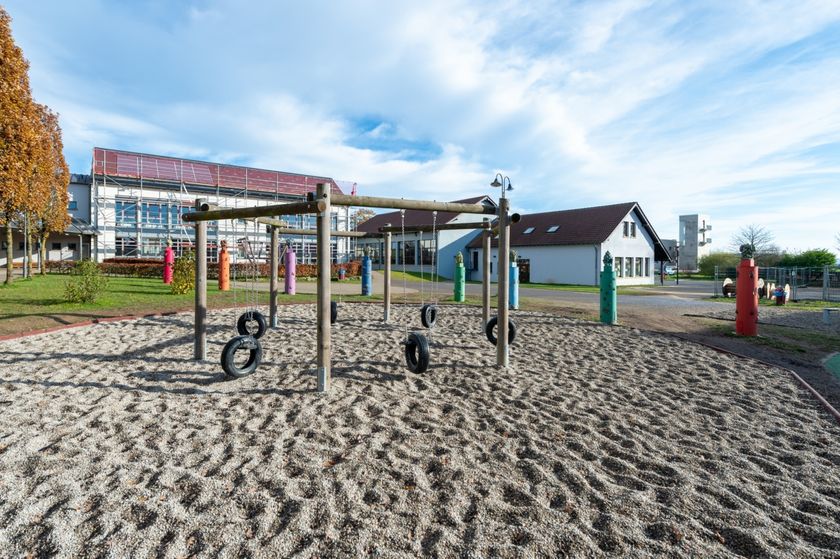
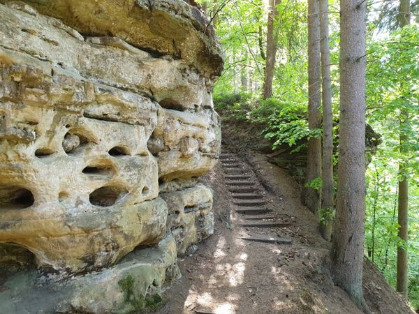
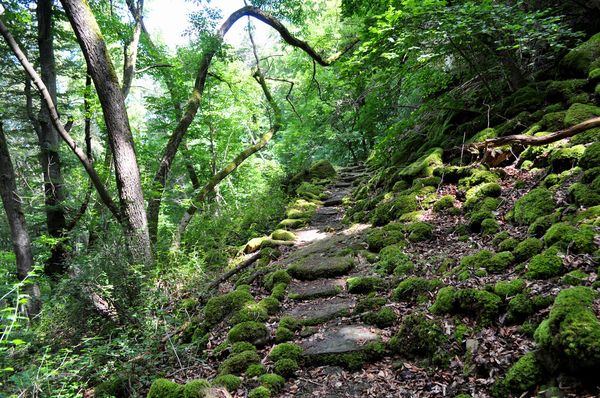
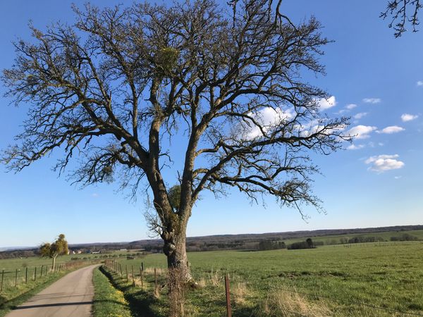
Easy hike on the plateau and through the locality of Beaufort.
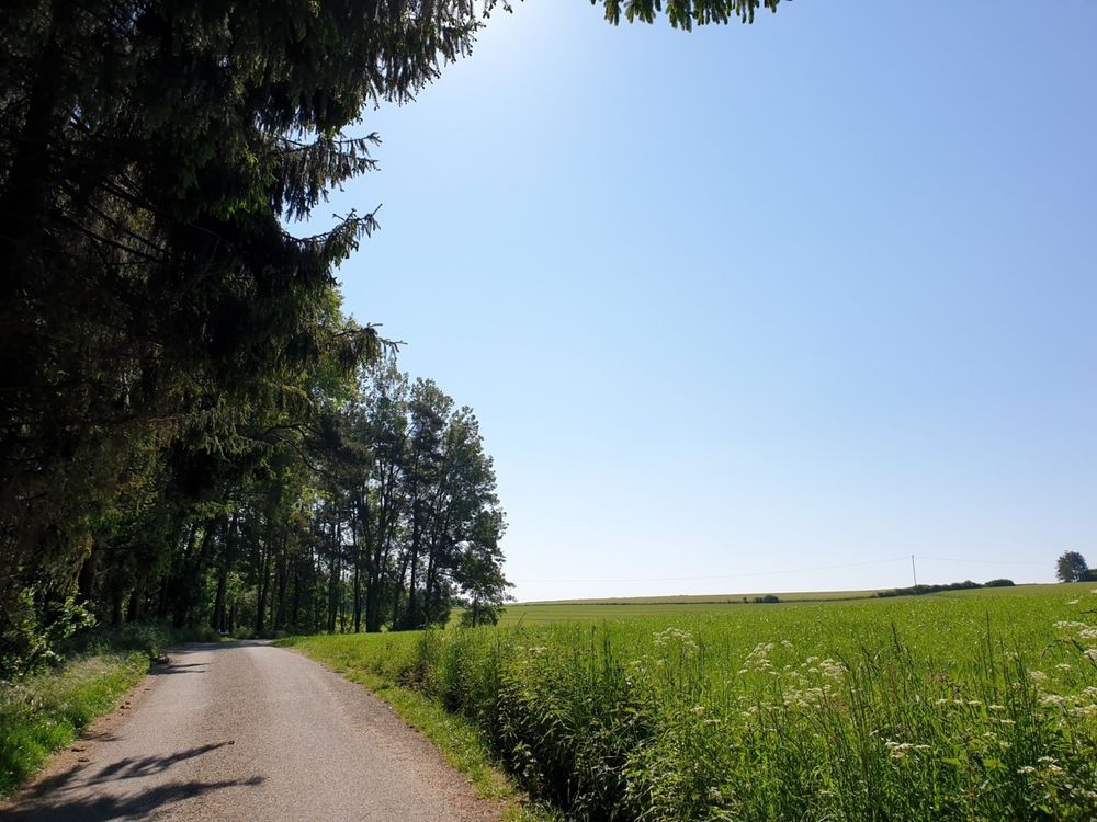
You start this easy hike on Route de Reisdorf and then walk over an open plain northeast of Beaufort.
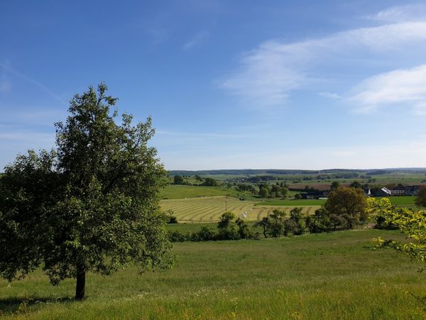
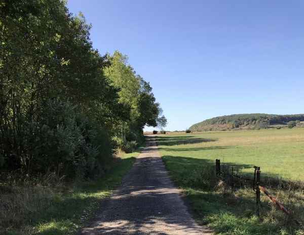
The path is almost entirely paved (only about 100 m consist of a grass path) and offers a wide view of Berdorf with the Aquatower.
On a clear day, you can see the radio antennas in Junglinster in the south.
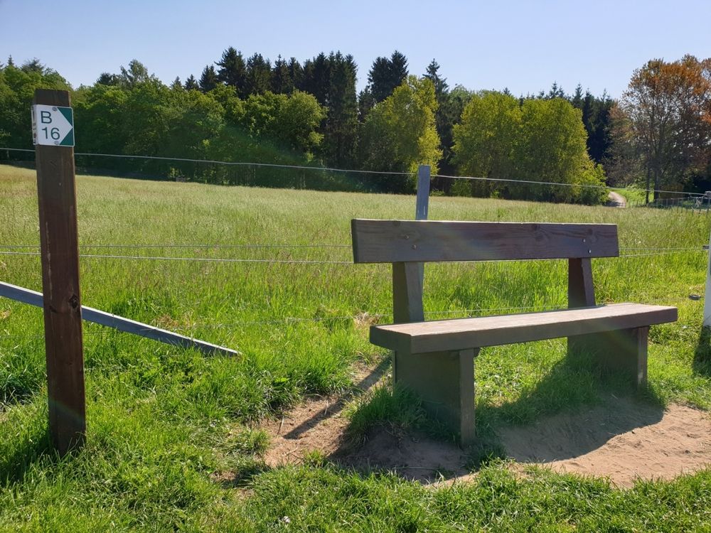
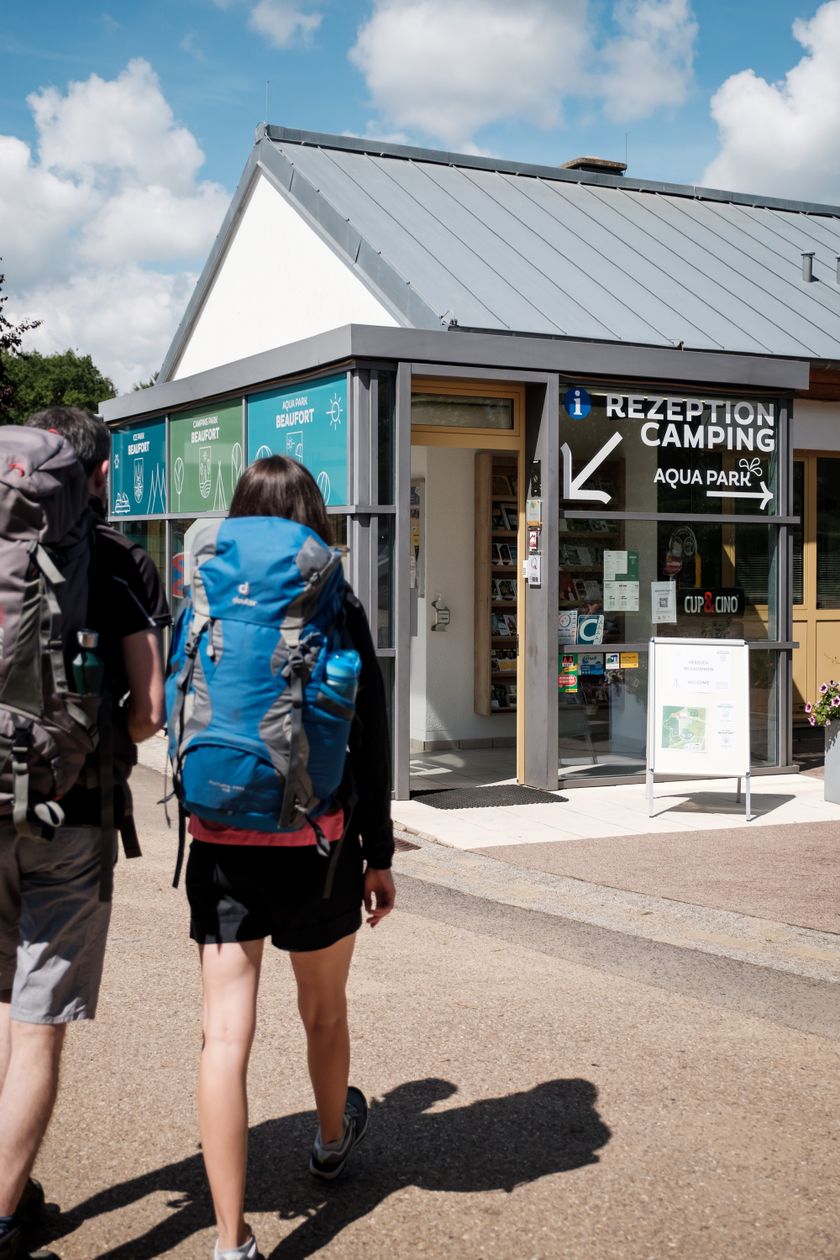
The trail crosses a busy road and runs along a busy road for about 250 metres. There are several places to stop along the way. A detour to the tourist office at the campsite of Beaufort is also possible.
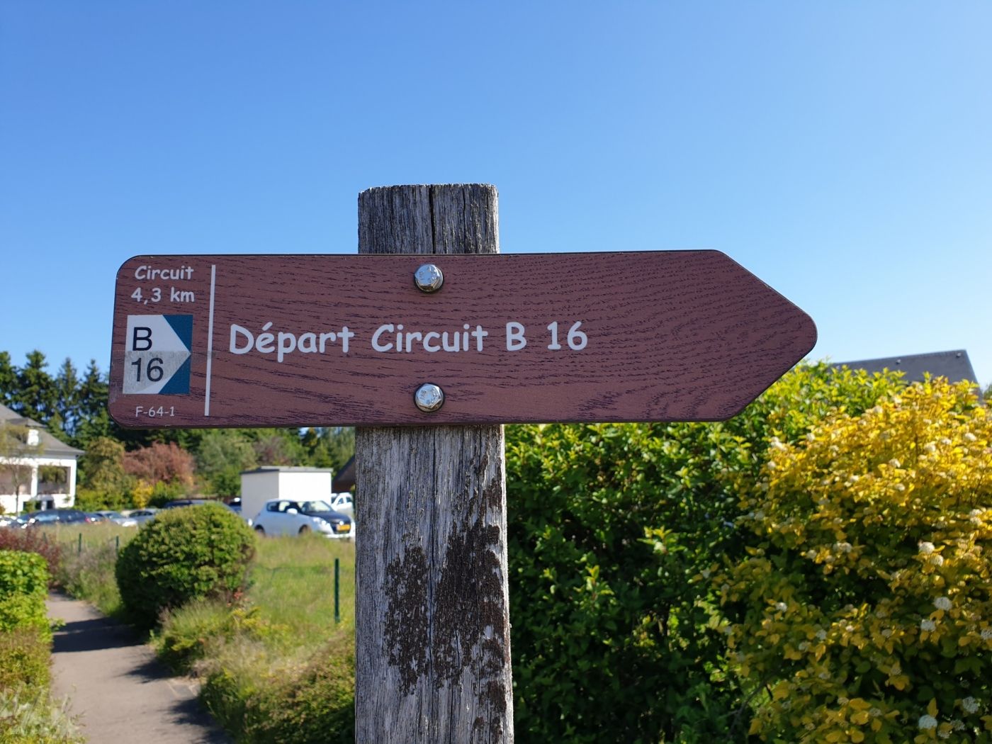
Signposting

For your safety
The path crosses a busy road and leads along a busy road for about 250 m.
Equipment
Sturdy shoes and something to drink.
Journey
Public transport: Closest bus stop: Beaufort, Um Bierg (400 m)
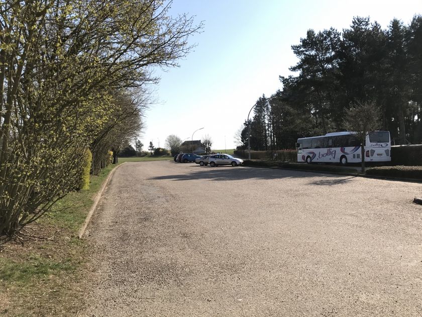
Parking: Closest parking lot: Parking lot Ice Skating Rink (700 m)
Parking: Closest parking lot: Parking lot Ice Skating Rink (700 m)


 This website uses technology and content from the Outdooractive Platform.