Starting point
Scheidgen
Destination
Scheidgen
Distance
16,52 km
Highest point
356 Hm
Lowest point
209 Hm
Aggregated Ascent
276 Hm
Aggregated Descent
291 Hm
Visit Luxembourg

Description

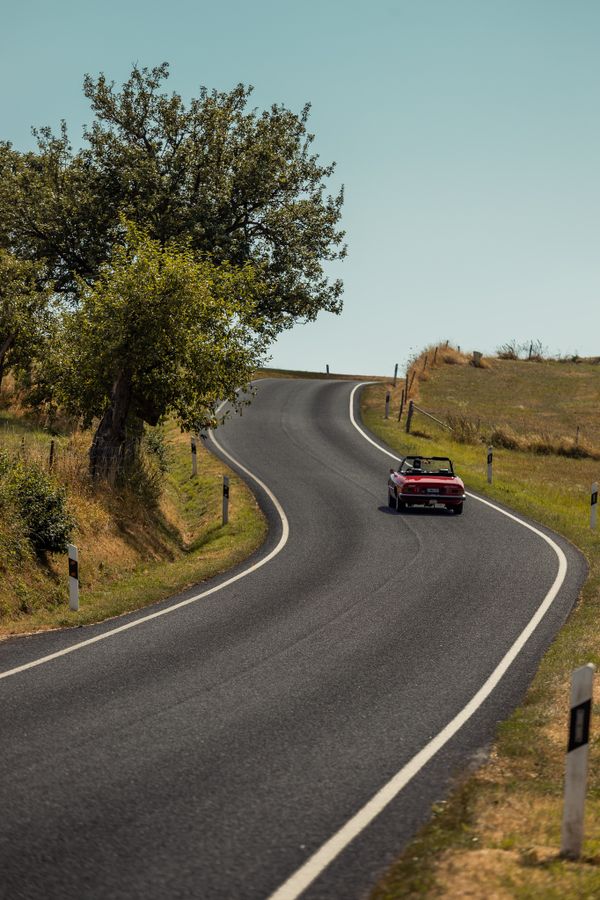
Mullerthal Touring - Drive & Hike Tour

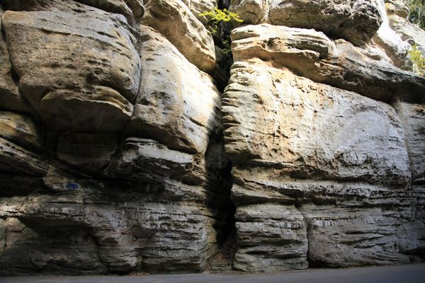
On this tour, you will explore great rock formations and caves!

Scheidgen – Consdorf – Konsdrefer Millen – Müllerthal – Consdorf - Scheidgen

Departure: Scheidgen

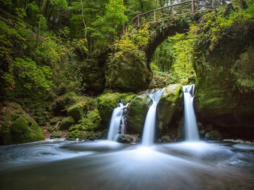
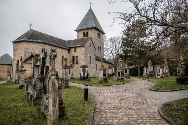
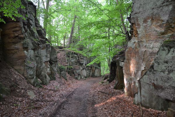
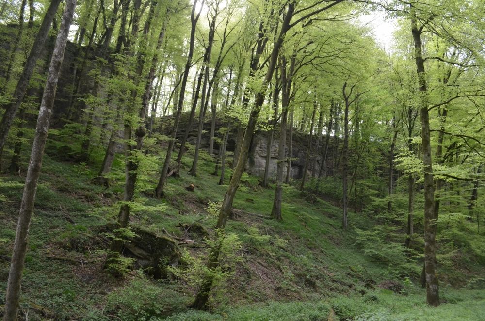
In Scheidgen, leave the car next to the church. Follow the footpath "Auto-Pédestre" (blue triangle on a white background) and you will walk past the rock formations of Dachselee and Härgottskapp. When you leave the forest, you turn back right to the parking area. Walking distance: 3 km; Time: 50 min. You then drive through Consdorf towards Mullerthal. Leave your car at the parking lot of Consdorfer Millen, cross the road and turn left into the forest. On Mullerthal Trail, you will come to Kuelscheier and pass the narrow and dark rock passages of Rittergang and Déiwepëtz. Not suitable for claustrophobic people; you need a flashlight! At the pond, you turn left and go back straight ahead to the car. Walking distance: 3,5 km. Time: 75 min. You continue towards Mullerthal and turn right at the bridge Breidweiler-Pont (by coach, you should turn right the next road after Consdorfer Millen, direction Mullerthal). After 300 m, you leave the car in the parking lot and walk on the forest path to the cascade of Schiessentumpel. Walking distance from the car and back: 1 km. In the village of Mullerthal, you can stop at the Touristcenter Heringer Millen, where you can borrow hiking equipment for free. Drive back to Scheidgen by Consdorf.

Please make sure to enable your Cookies in case you don't see this content.

Suggestions nearby

Drive & Hike Tour

  • © SIT Consdorf
    Tourist Info Consdorf
    Tourist Info Consdorf
    Find out more
  • © Heringer Mille
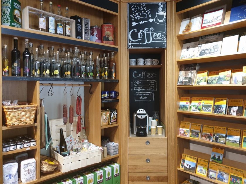
    Touristcenter "Heringer Millen"
    Touristcenter "Heringer Millen"
    Find out more
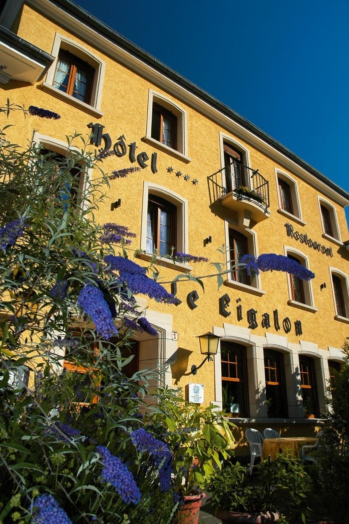
  • © Hotel Le Cigalon
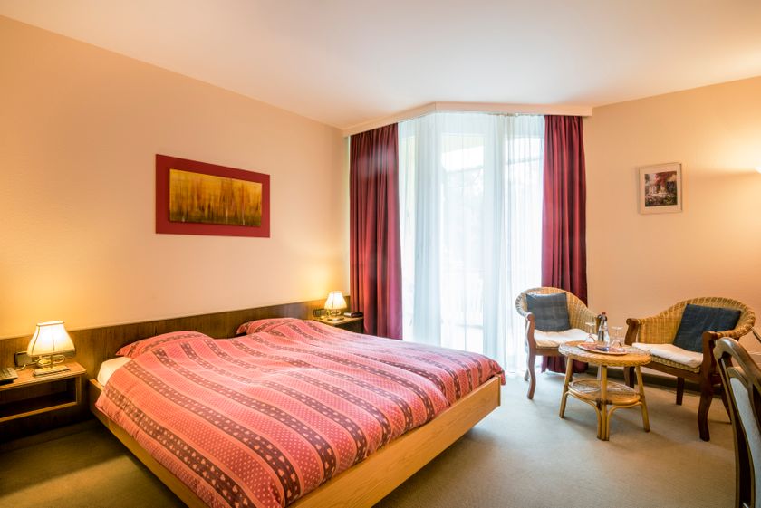
    Hotel Le Cigalon
    Pets allowedGarden / ParkParkingWellnessWifiRestaurant
  • © Rentabike Mëllerdall CIG
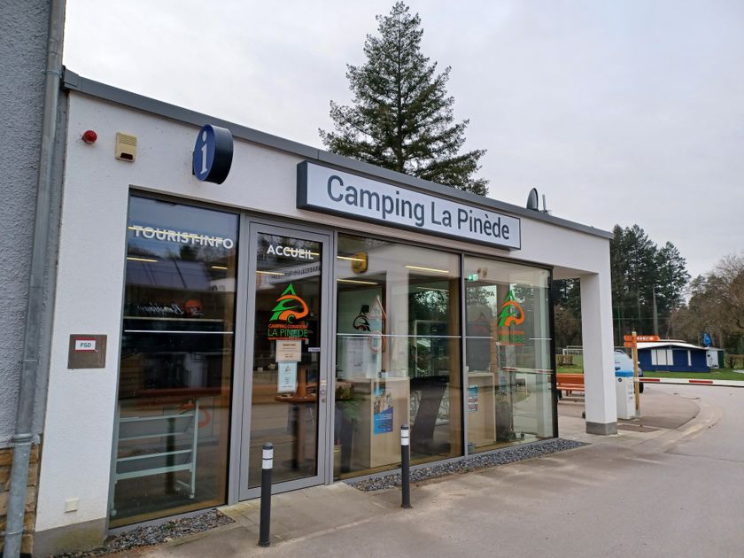
    Rentabike - Camping La Pinède
    Rentabike Mëllerdall: available from 9 outlets
    Find out more
  • © Rentabike Mëllerdall CIG
    Rentabike - Heringer Millen
    Rentabike Mëllerdall: available from 9 outlets
    Find out more
  • Schiessentümpel / Schéissendëmpel waterfall
    Schiessentümpel / Schéissendëmpel waterfall
    Find out more
  • © Restaurant Grill Bon Repos
    Restaurant Grill Bon Repos
    Restaurant Grill Bon Repos
    Find out more
  • © Hotel Restaurant Le Cigalon
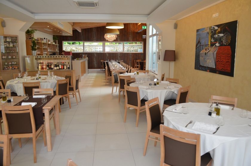
    Restaurant Le Cigalon
    Restaurant Le Cigalon
    Find out more

Similar hikes

© ORT MPSL, ORT MPSL
Large Geopark Tour
Distance: 79,70 km
Duration: 1:15 h
Find out more
© ORT MPSL, ORT MPSL
Small Geopark Tour
Distance: 39,02 km
Duration: 0:35 h
Find out more
© Frank Kliem, ORT MPSL
Little Switzerland Tour
Distance: 23,28 km
Duration: 0:20 h
Find out more
© PANCAKE! Photographie, ORT MPSL
Mullerthal Grand Tour
Distance: 74,07 km
Duration: 1:10 h
Find out more
© Tom Barnich, Tom Barnich
Mullerthal Tour - Grand Tour du Luxembourg
Distance: 120,37 km
Duration: 1:50 h
Find out more
© ORT MPSL
Panorama Tour
Distance: 33,11 km
Duration: 0:30 h
Find out more