Hunting Season 2024/25 — Check for hunts before hiking

Autumn is here, and that means hunting season has begun! From mid-October to January/February, hunters are active across the country. Stay safe by checking hunt dates in your area on our Map. 

Click on Map in the Header > Services > More > Hunting.

Starting point
Nommern: Eurocamping Nommerlayen
Destination
Nommern: Eurocamping Nommerlayen
Distance
5,31 km
Duration
1:47 h
Difficulty
difficult
  • Condition
Highest point
397 Hm
Lowest point
284 Hm
Aggregated Ascent
151 Hm
Aggregated Descent
151 Hm
Circular routes Visit Luxembourg

Description

This path is an adventure for the whole family, although some parts are a bit more demanding.

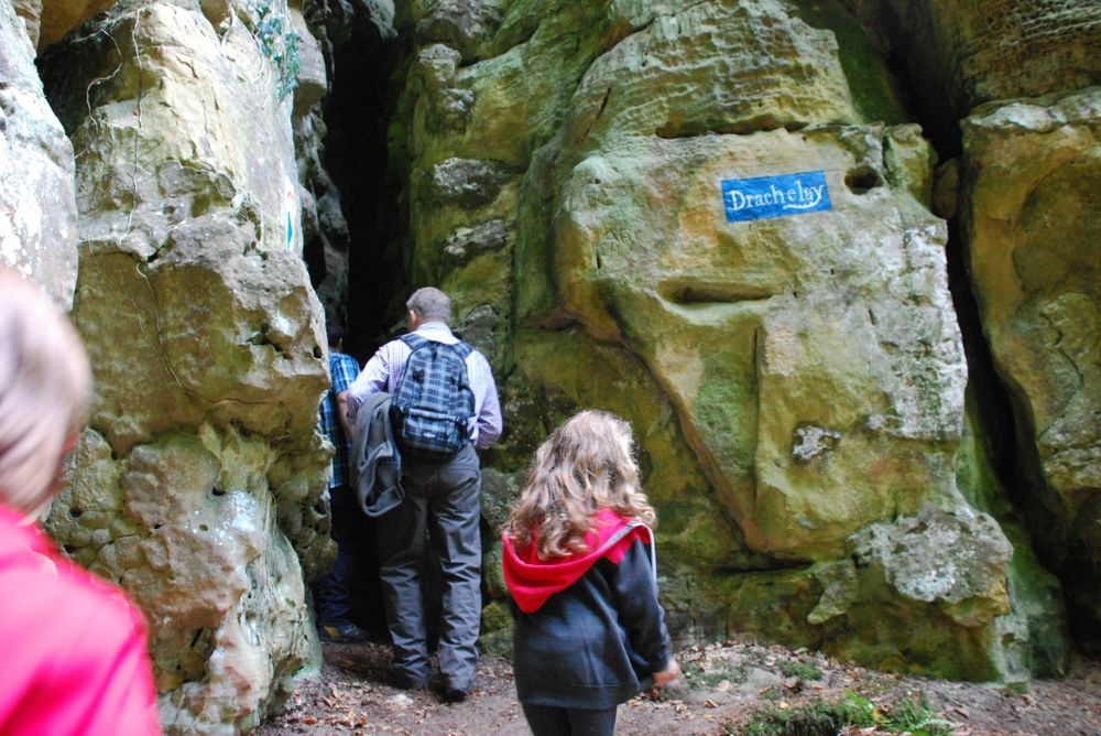
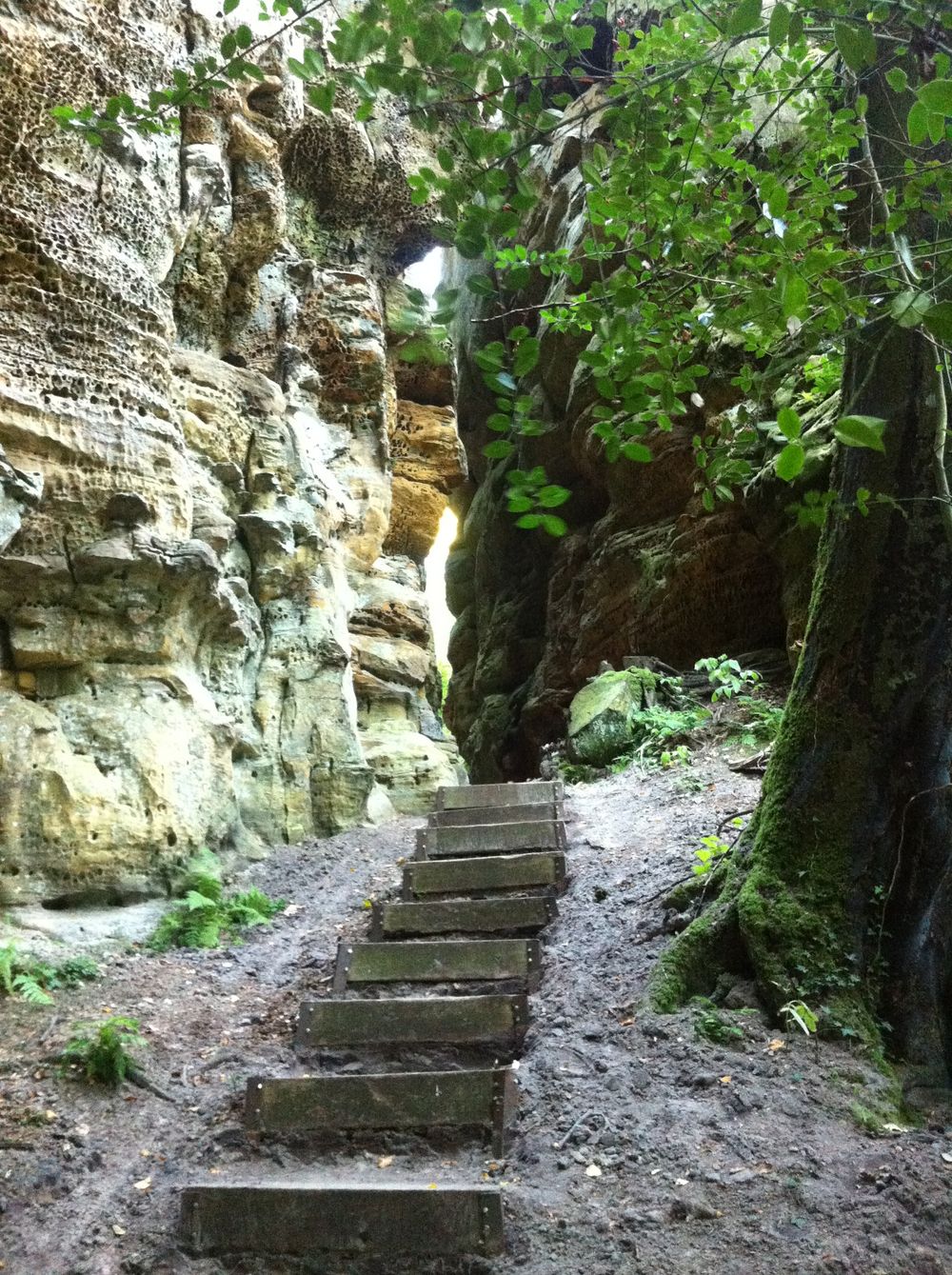
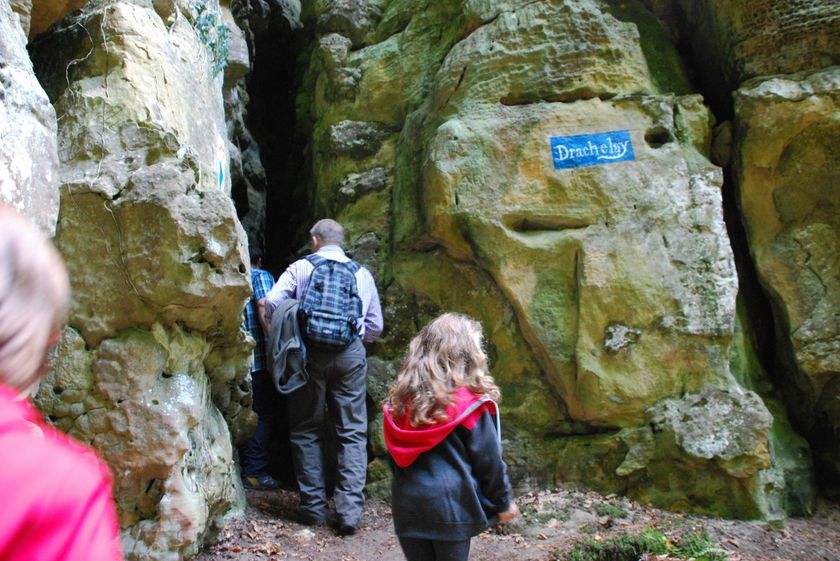
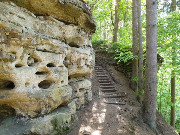
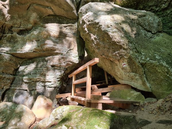
This short route with many narrow spots and steps leads through the fabulous rock formations of the Noumerléen.

Here one highlight follows the other and let yourself be enchanted by the rocky landscape.


Please make sure to enable your Cookies in case you don't see this content.

Suggestions nearby

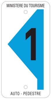
Auto-pédestre trail Nommern I

  • Rock formation "Noumerleeën"
    Discover a miniature image of the sandstone region of Luxembourg's Little Switzerland.
    Find out more

Similar hiking tours

© Dominik Ketz, Eifel Tourismus GmbH
NaturWanderPark Delux
Circular walk NaturWanderPark delux: Felsenweg 1 (L-Echternach)
Distance: 20,35 km
Duration: 6:00 h
Difficulty: difficult
Find out more
© D. Ketz, Eifel Tourismus GmbH, D. Ketz
NaturWanderPark Delux
Circular walk NaturWanderPark delux: Felsenweg 3 (D-Ferschweiler/L-Berdorf)
Distance: 24,66 km
Duration: 6:30 h
Difficulty: difficult
Find out more
© D. Ketz, Eifel Tourismus GmbH, D. Ketz
NaturWanderPark Delux
Circular walk NaturWanderPark delux: Felsenweg 2 (D-Bollendorf/L-Beaufort)
Distance: 20,29 km
Duration: 6:00 h
Difficulty: difficult
Find out more
© (c) NGPM Elisabeth Medinger, (c) NGPM Elisabeth Medinger
Thematic paths
Geo-Pad Hëlt
Distance: 4,06 km
Duration: 1:30 h
Difficulty: difficult
Find out more
© Visit Luxembourg
NaturWanderPark Delux
NaturWanderPark delux: Felsenweg 4
Distance: 33,58 km
Duration: 9:50 h
Difficulty: difficult
Find out more
© Visit Luxembourg
Circular routes
Local hiking trail - B2
Distance: 4,14 km
Duration: 1:10 h
Difficulty: difficult
Find out more
© Visit Luxembourg
Circular routes
Auto-pédestre trail Consdorf - Mullerthal
Distance: 8,34 km
Duration: 4:00 h
Difficulty: difficult
Find out more
© Visit Luxembourg
Circular routes
Local hiking trail - R7
Distance: 3,52 km
Duration: 1:05 h
Difficulty: difficult
Find out more
© Pancake! Photographie, Visit Mullerthal
Circular routes
Local hiking trail - E4
Distance: 10,99 km
Duration: 3:20 h
Difficulty: difficult
Find out more