Meander core “Hëlt”
Where? CR 372A, L-6580 Rosport
Meander core “Hëlt”
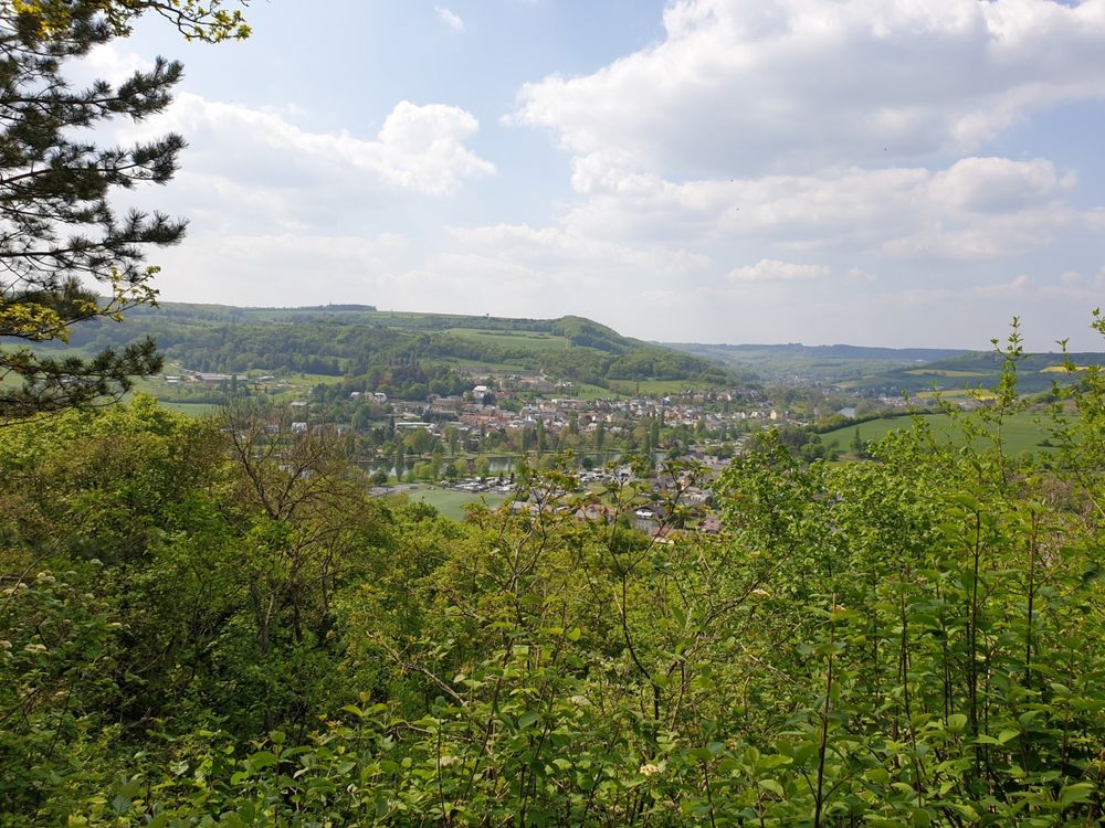
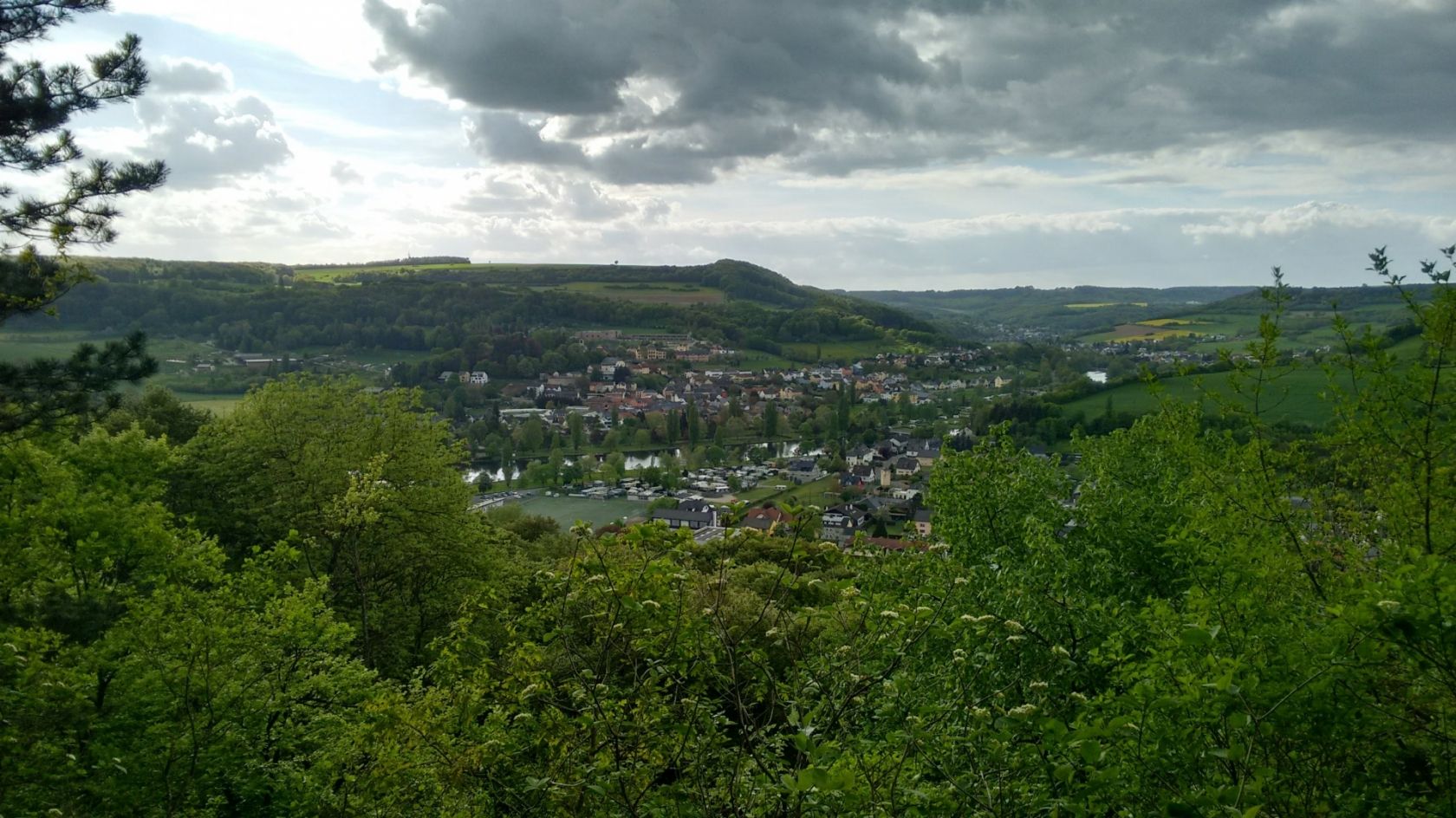
Completely surrounded by water, the Hëlt towers high above the Sûre valley in the eastern part of the region. It was created when the river Sûre cut in a large arc deep into the sedimentary rocks. This long river meander, which flows around the Hëlt, was broken trough by human hands to produce water energy. The Hëlt is thus an artificial circulation mountain, which is surrounded by the Sûre and the attached Sûre channel.
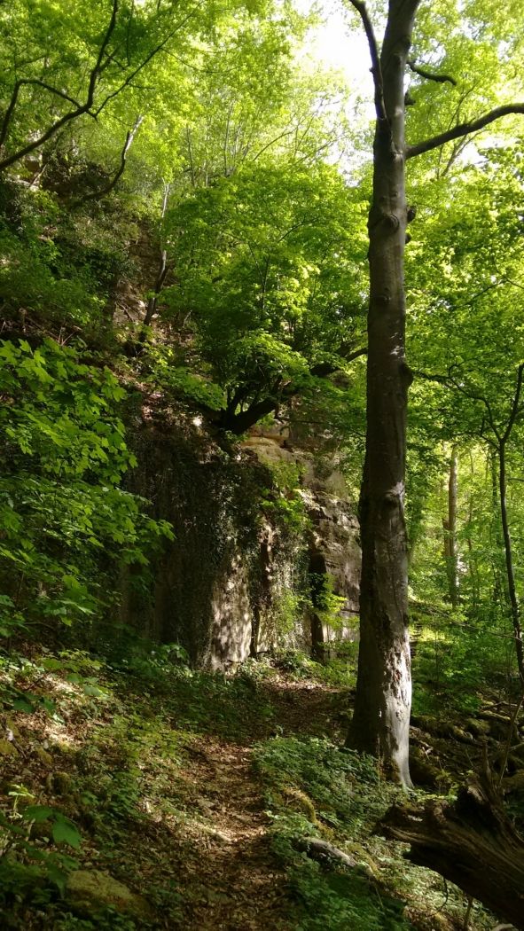
The Hëlt has two faces: the wooded, partly steep northwestern part and the flatter southeast.
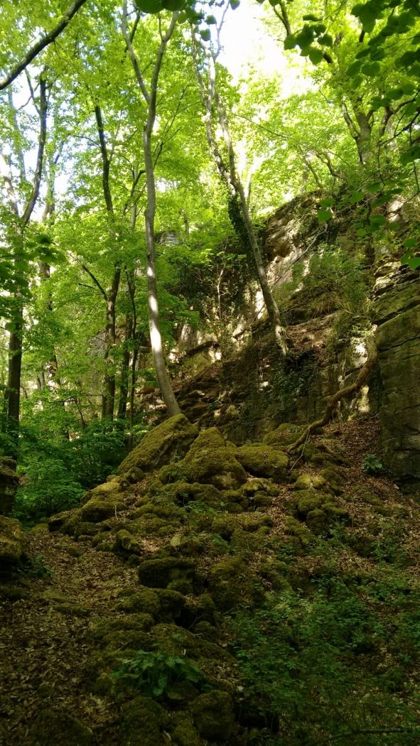
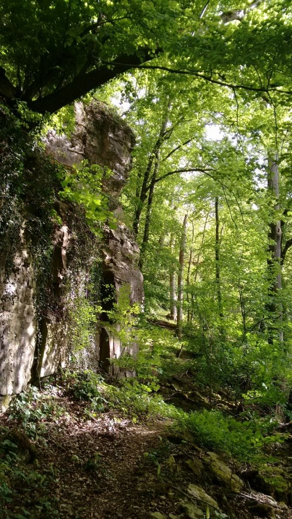
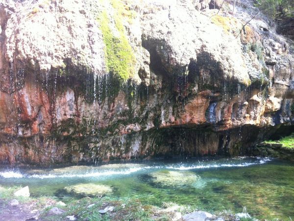
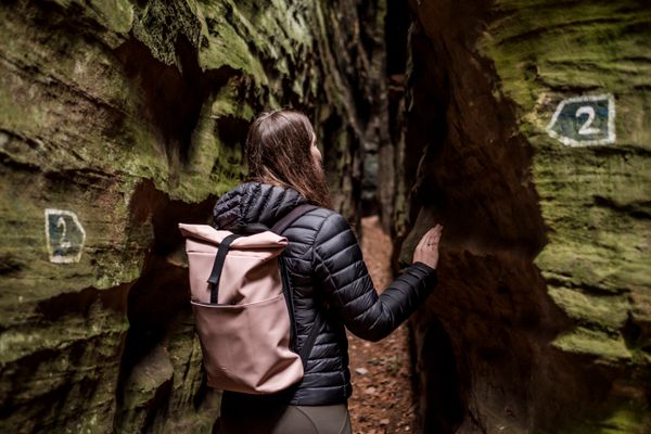
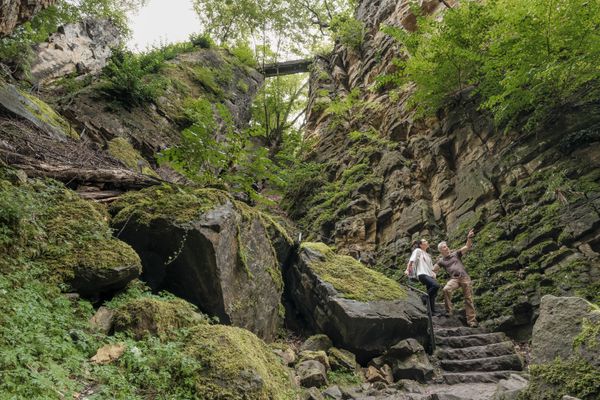
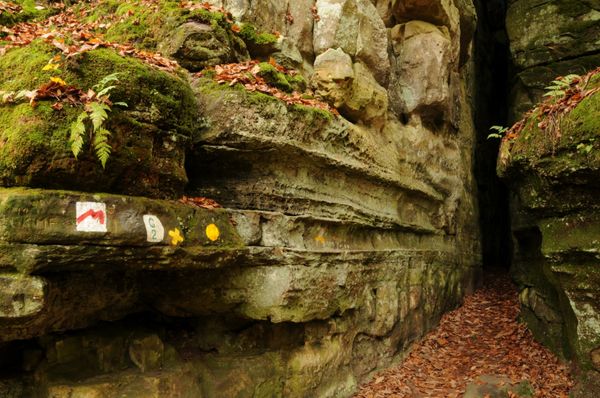
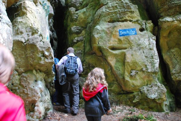
In the northwest, the waters of the Sûre caused a landslide due to erosion on the slope. In the lower part of the wooded slope are marl, a rock that consists of a mixture of clay minerals and dolomite. In the marls gypsum occurs, which was mined here in former times. The upper part of the slope is formed by dolomite, which rises in a steep rock face. In front of the rock face are numerous dolomite blocks, which were loosened by the slide from the rock face. One of the vertical clefts in the dolomite wall, called "Kimmhaischen", leads to a grotto, which is inhabited by the "Kimmfrächen" according to legend. This ghostly woman is supposed to spin diligently with a spindle, and it is said that the one who listens with its head on the rock can hear it. In spring and summer, the ghost woman may leave her underground chamber. She sits with her spindle on the top of the Kimmhaischen and sings an ancient song while spinning, which can sometimes be heard.
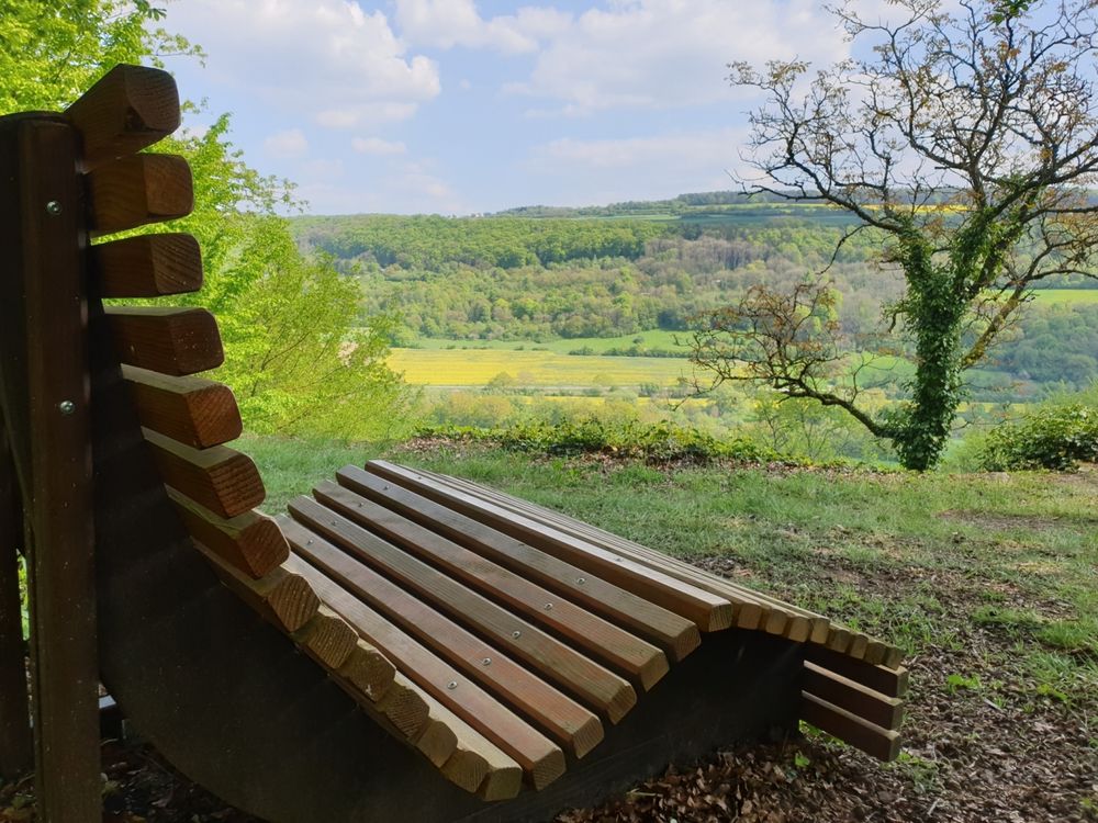
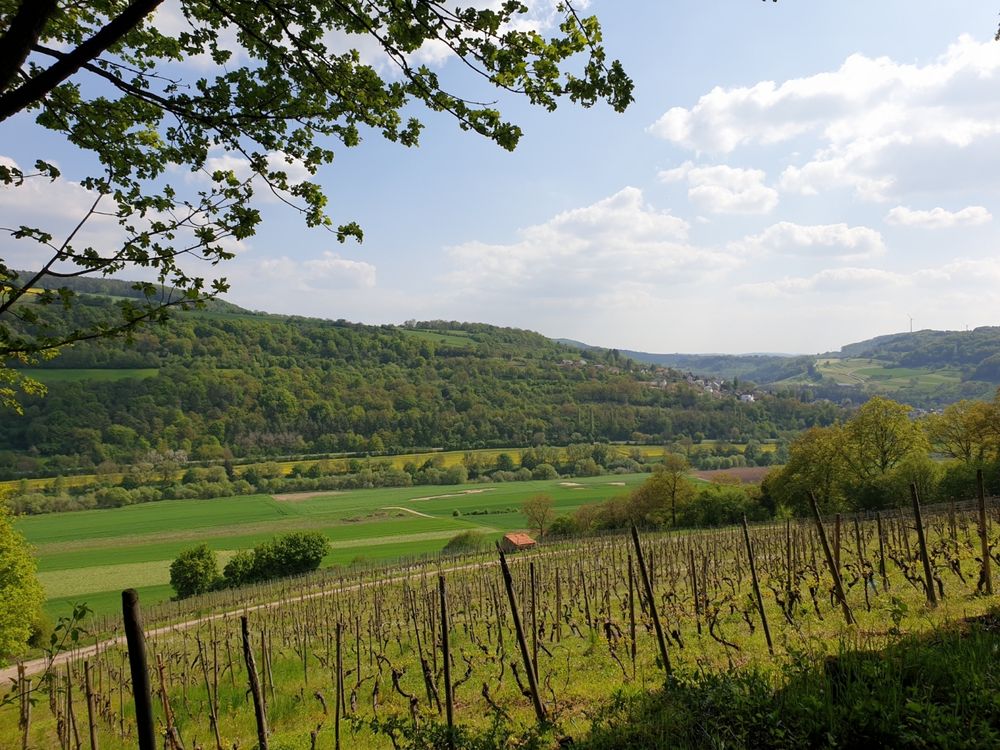
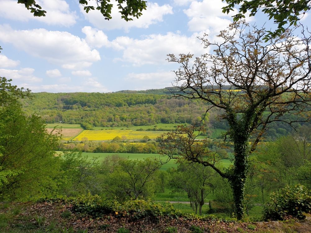
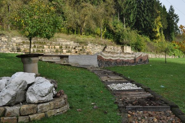
Its second face the Hëlt shows in the southeast. The climate here is almost Mediterranean, the slopes are flatter and more even and characterized by dry stone walls made of dolomite. On the dry and nutrient-poor soils you can find grasslands with numerous orchids. Furthermore, the small northernmost wine-growing region of Luxembourg is located here.
The trail can be hiked via the local 3.5 km R7 circular route or the 4km Geo-Pad "Hëlt". Parking is available at the Sauerpark.
Next bus stop: Rosport, Rue Neuve
Opening hours

