Beschrijving
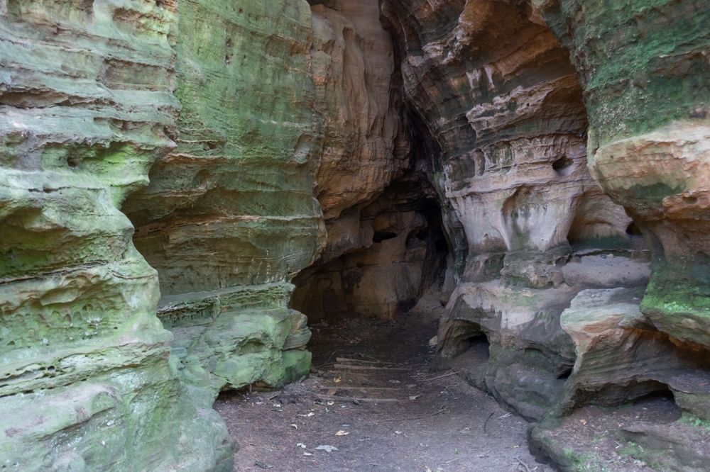
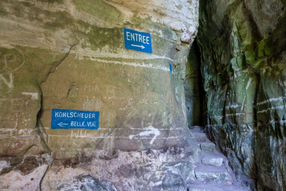
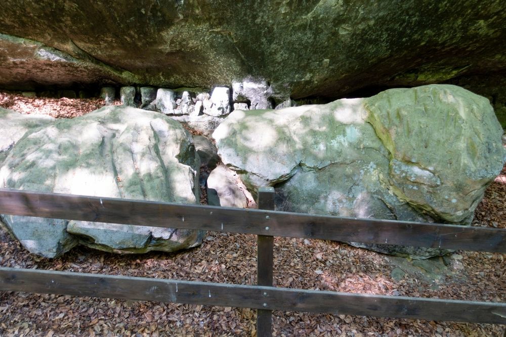
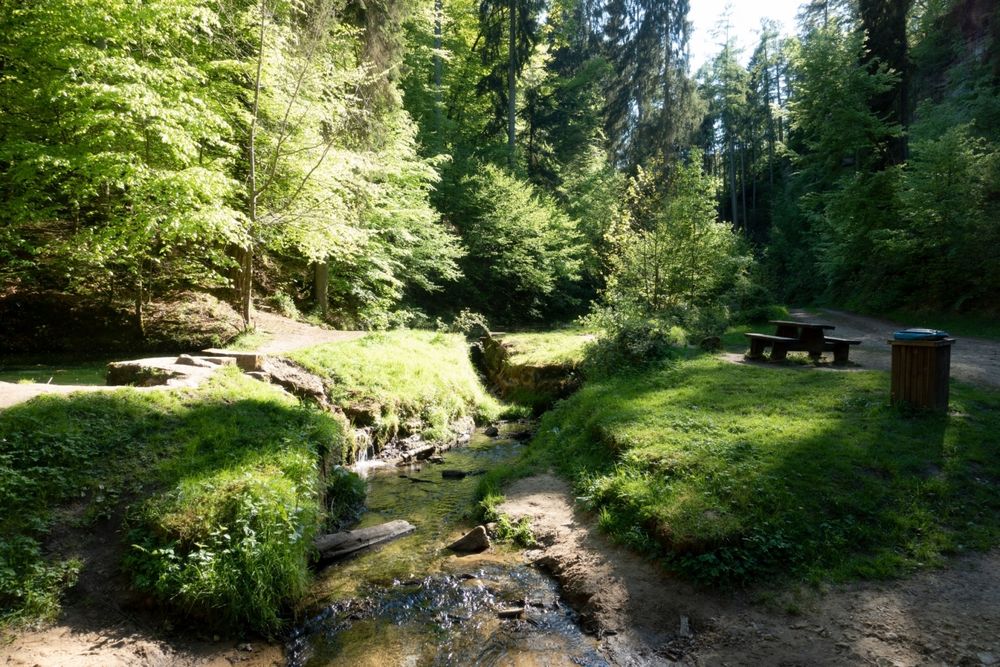
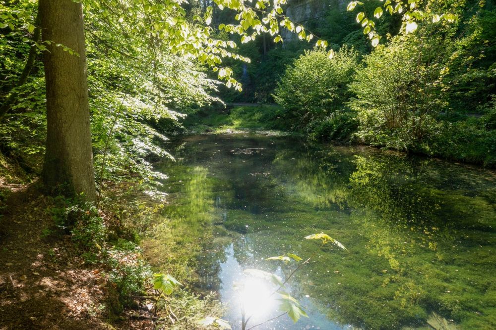
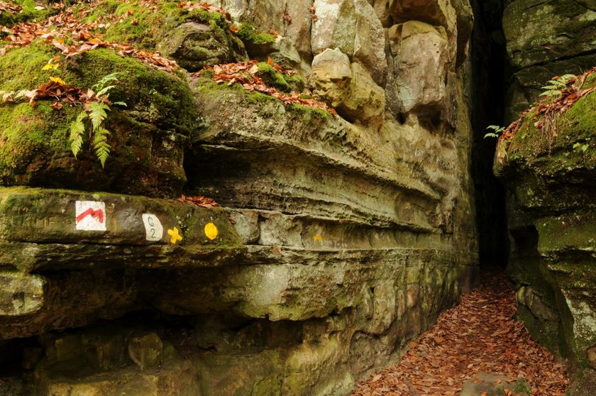
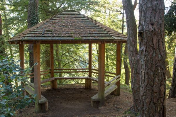
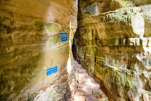
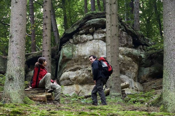
Dit pad voert over lange afstanden door het rotsachtige landschap van Consdorf. Toch biedt het pad ook een verscheidenheid aan landschappen. Na het eerste stuk door het bos kom je bij de "Méchelskirch", een grot waar in de 18e eeuw een kluizenaar woonde. Na ca. 4,7 km is een avontuurlijke omweg naar de Kuelscheier mogelijk - een ca. 100 m lange, pikdonkere spleet waar je doorheen kunt lopen. Het is aan te raden om een zaklamp bij je te hebben.
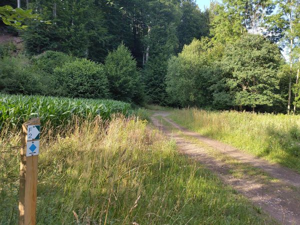
Bewegwijzering

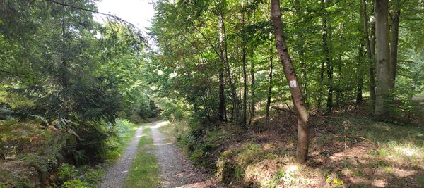
Wegbeschrijving
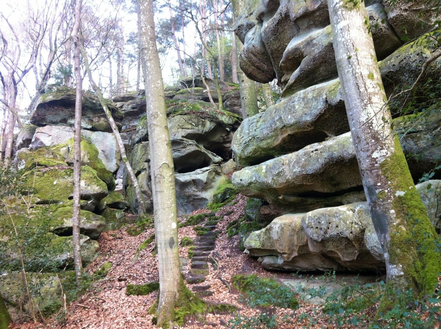
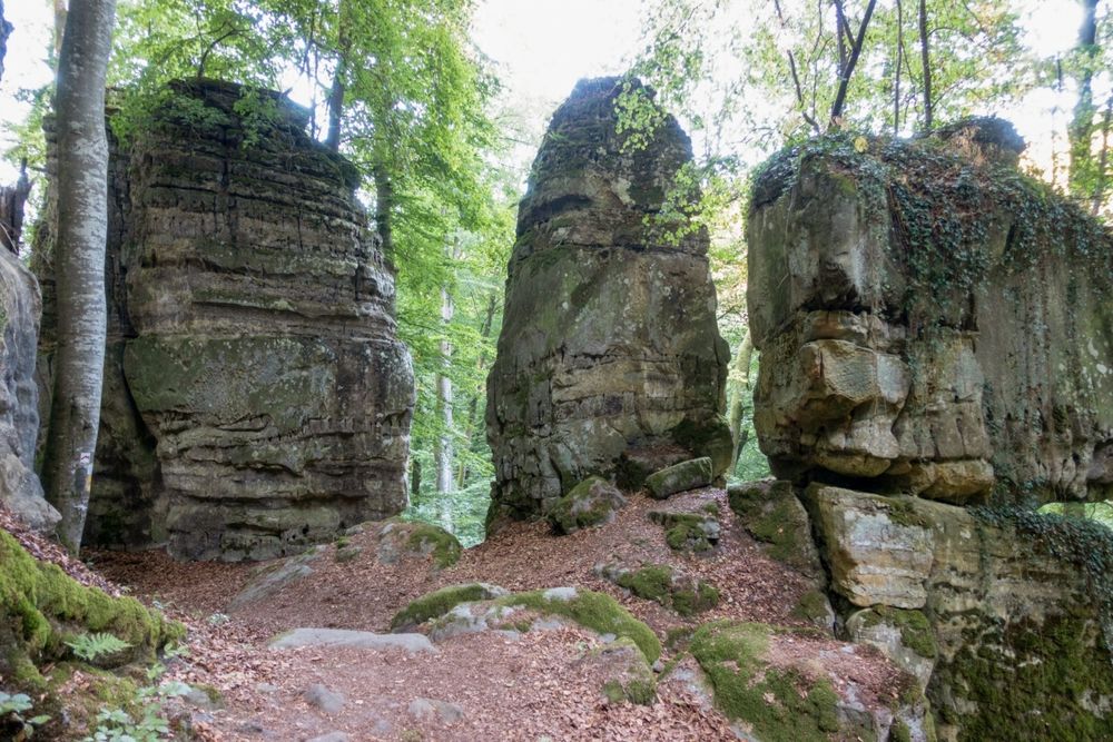
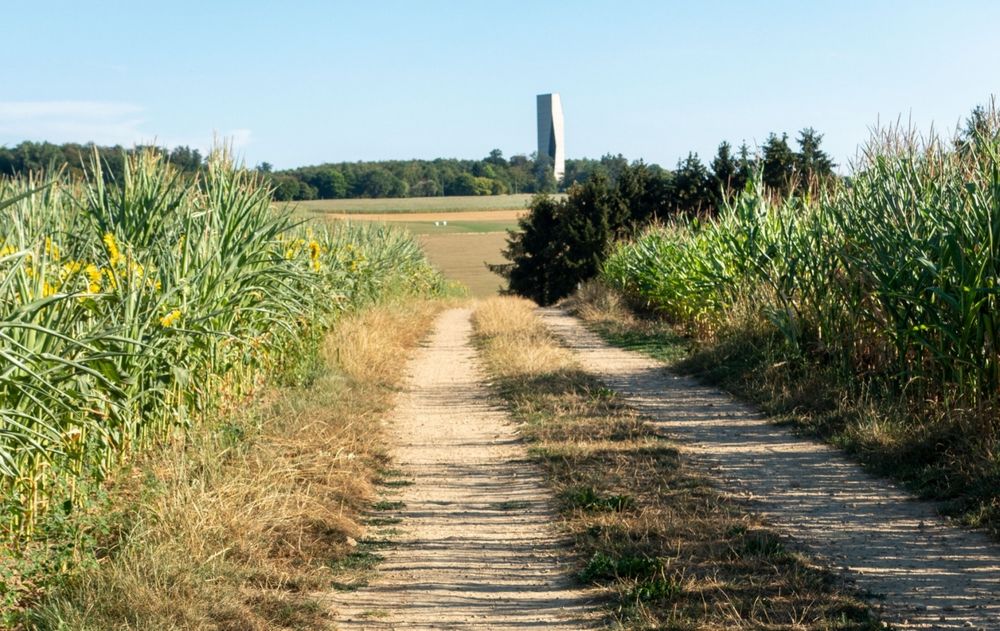
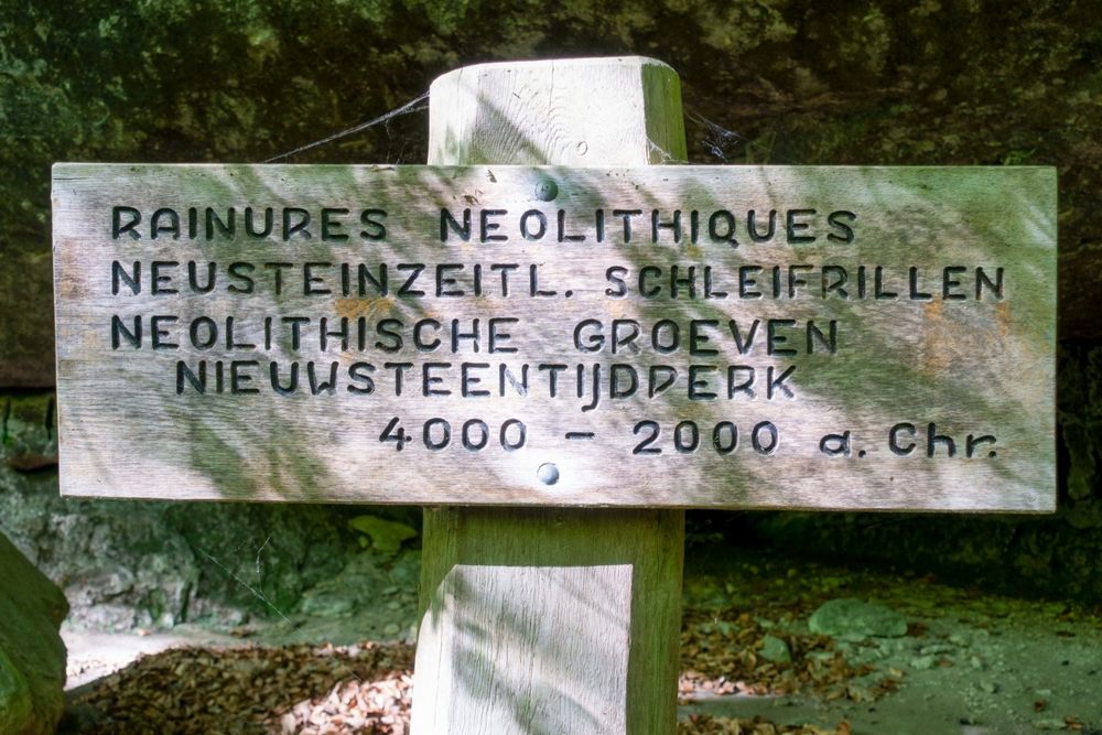
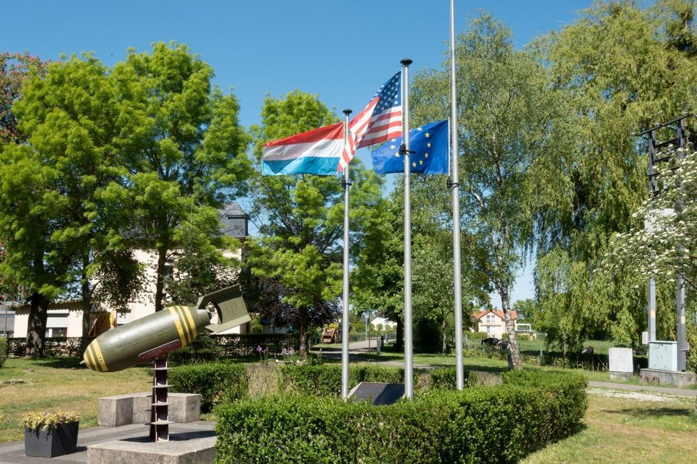
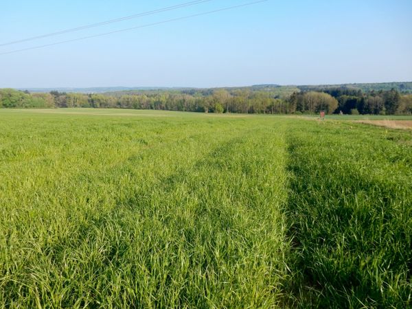
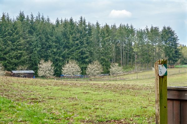
Aan het begin van deze rondwandeling herinnert een bom die aan de rand van het dorp opgegraven en onschadelijk gemaakt is, aan de verschrikkingen van de Tweede Wereldoorlog. Het pad leidt eerst over een verharde weg naar het romantische Dielchen (klein dallletje) en voert dan langs een smal pad langs de voormalige hermitage van Méchelskierch naar het open landschap rond het gehucht Wuelper. De Muerbësch wordt al snel bereikt op het plateau, een bosperceel met verschillende mardellen, die vooral belangrijk zijn voor het voortbestaan van de amfibieën en die in de zomer soms uitdrogen. Na nog een passage over de open vlakte verschijnt aan de zuidelijke horizon de huizenlijn van het gehucht Altrier met de kenmerkende watertoren. Nu leidt het wandelpad langs de Steebaach langs rotstekeningen uit de steentijd naar beneden in het dal van de Härdbaach. Na het oversteken van de beek klimt men langs een ruige rotswand met tal van bizarre verweringsvormen. Na de aanbevolen tocht door het hele Adventure-Kuelscheier-gebied leidt het bergpad uit het dal terug naar het dorp en naar het startpunt.
Uitrusting
Stevige wandelschoenen
Aankomst
Dichtstbijzijnde Bushalte: Consdorf, Gare
Aankomst:
Vanaf Echternach via E29, CR118, CR137.
Parking:
Op de gratis parkeerplaats bij de startpunt.


 Deze website maakt gebruik van technologie en inhoud van het Outdooractive Platform.