Beschrijving
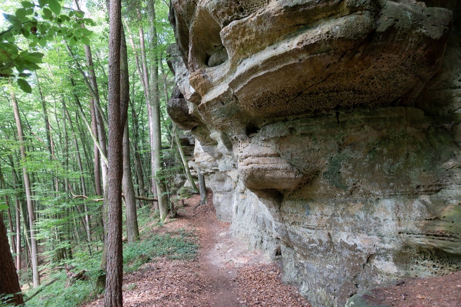
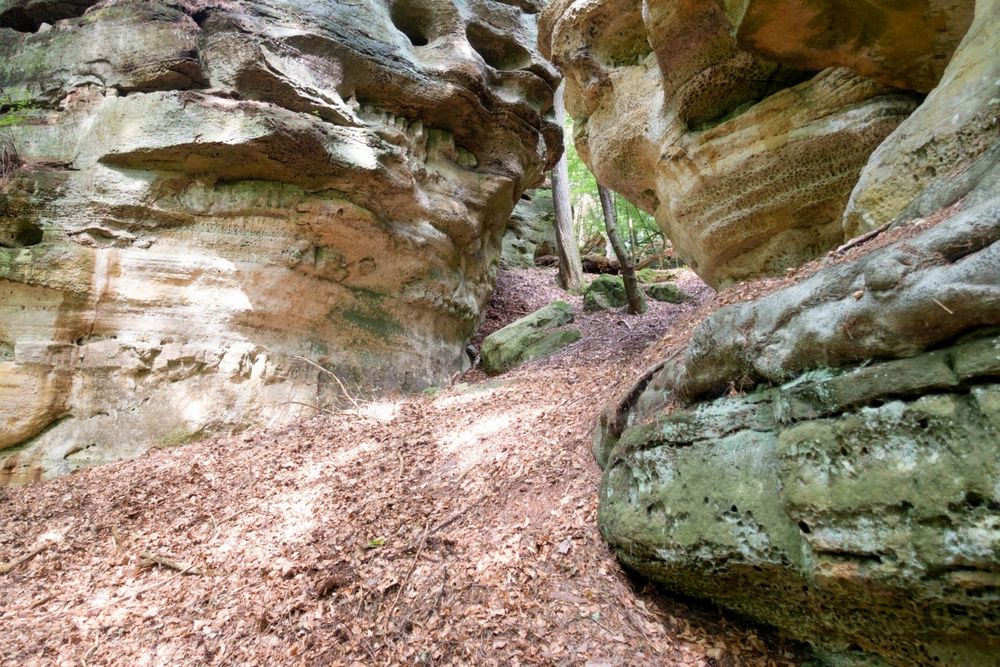
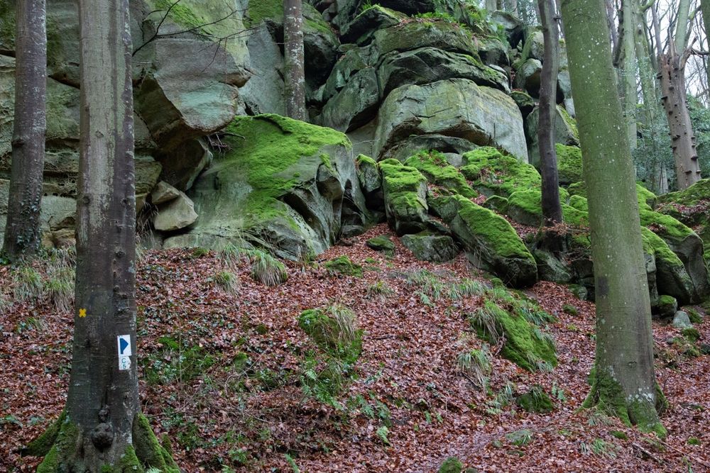
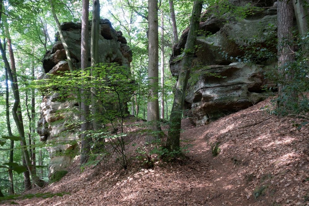
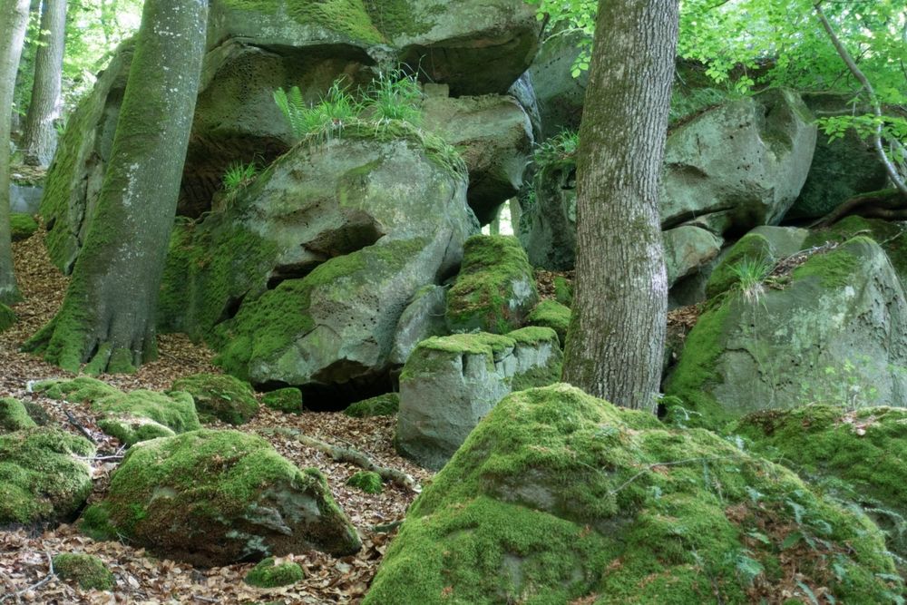
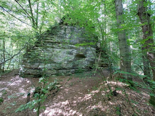
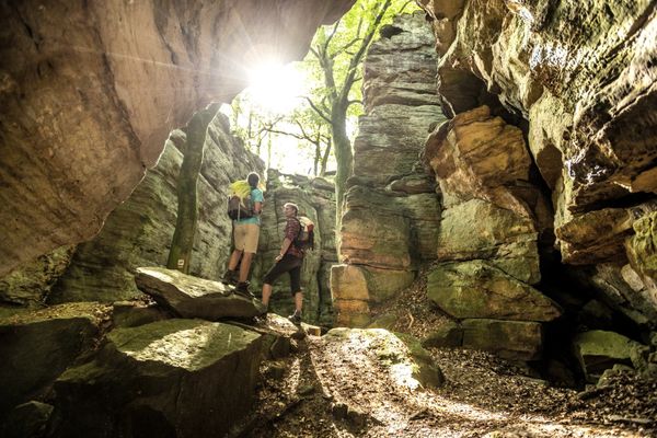
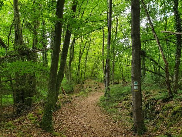
Op een relatief korte afstand is er het ene hoogtepunt na het andere: machtige rotsblokken zoals de Päerdskapp (paardenkop), merkwaardige vormen van erosie en gapende rotsspleten zoals de Schelmelee - een voormalige woning - maken indruk op deze wandelroute met hun verbazingwekkende verscheidenheid en uiterlijk . Vanwege smalle doorgangen en rotsachtige grond is het pad een van de zwaardere wandelpaden in Consdorf en loopt het uitsluitend door het bos.
Wegbeschrijving
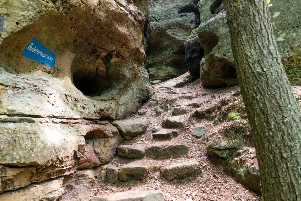
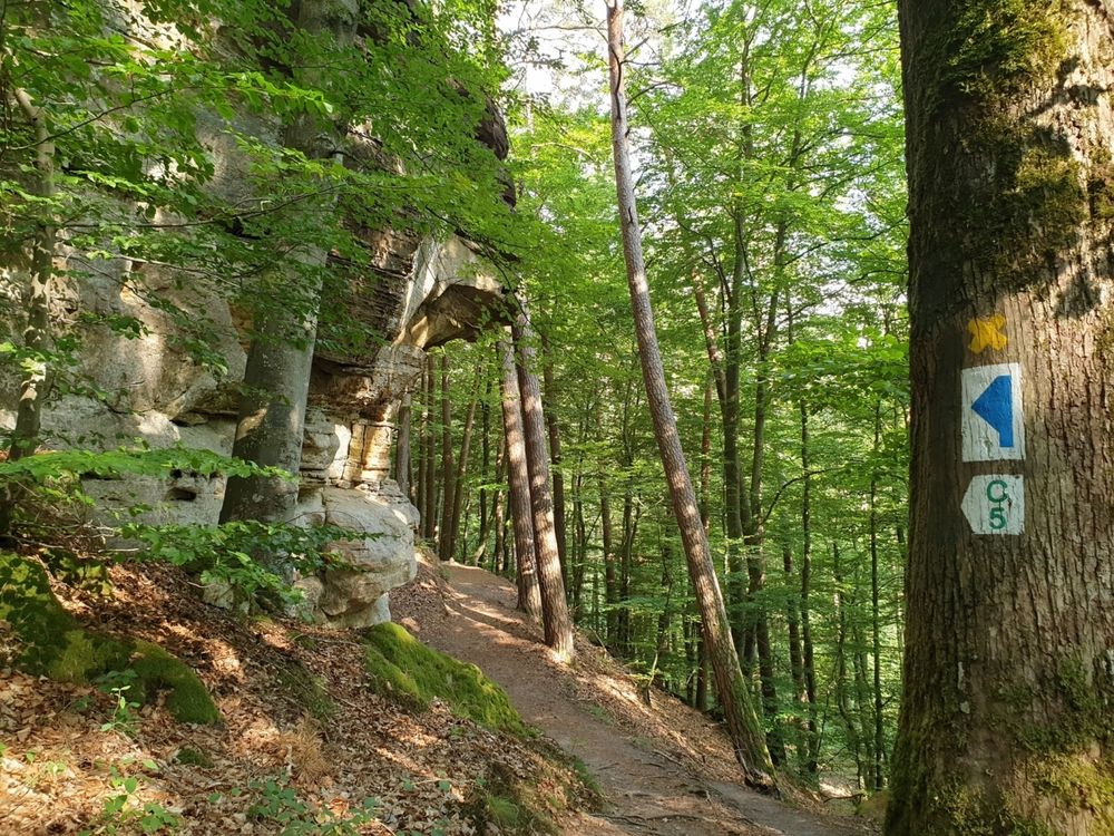
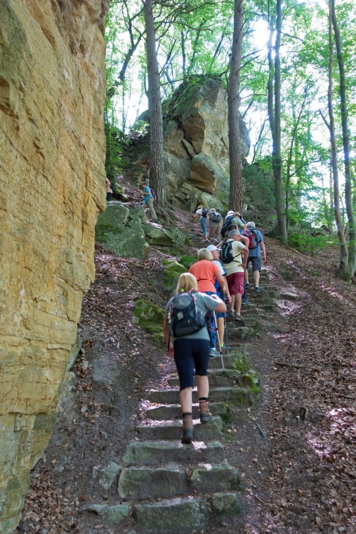
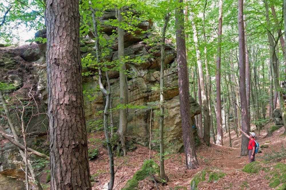
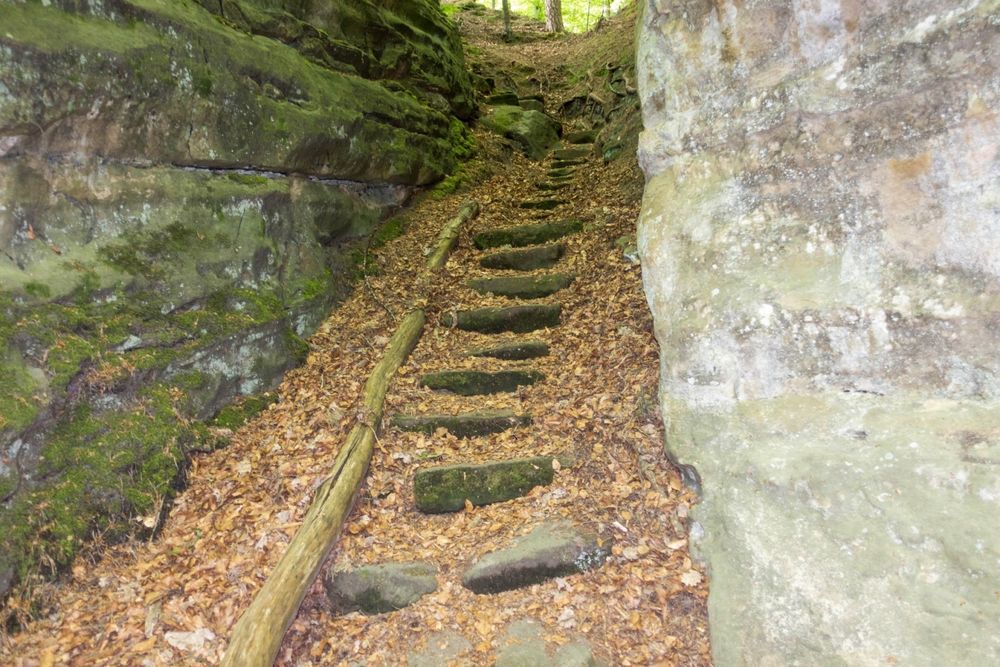
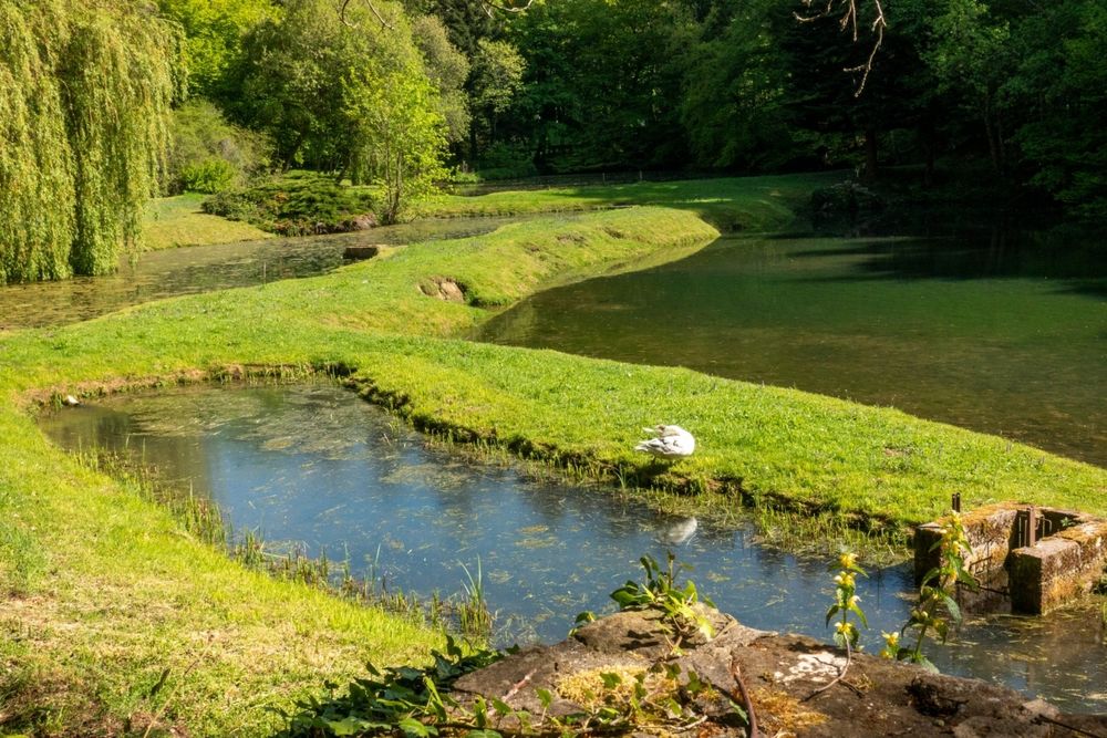
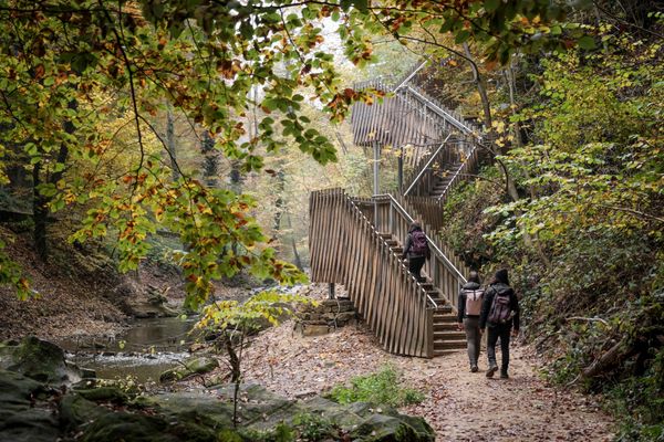
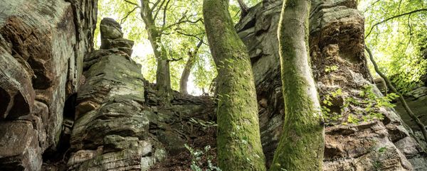
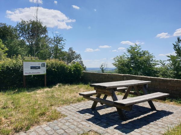
Deze wandeling voert eerst langs de visvijvers van het gebied van de voormalige molen van Consdorf. Een breed, bijna vlak bospad leidt nu in het achterste dal van de Dosbaach naar de imposante rotsformatie Rammelee. Op een korte, ietwat inspannende omweg naar het uitkijkpunt, zult u getuige zijn van een spectaculaire wereld van rotsen. Het verdere verloop van het pad slingert tussen talloze rotsblokken, die worden gekenmerkt door miljoenen jaren van erosie. Het gaat langs een wild ruige rotswand met diverse verweringskenmerken en een weelderige flora zoals de groenblijvende hulst (ilex aquifolium). Al snel wordt de Schelmelee bereikt, een van die typische overhangende rotsen die sinds het stenen tijdperk tot aan het recente verleden door de mens als woning werden gebruikt. Men steekt nu de Alsbaach over zonder natte voeten te krijgen via een houten brug en komt al snel op de Höhenweg, die dan uitkomt in een rotslabyrint vol trappen met de smalle doorgang Buddelerkummer. Machtige rotsblokken zoals de Päerdskapp (paardenkop), merkwaardige vormen van erosie en gapende spleten maken indruk met hun verbazingwekkende verscheidenheid en uiterlijk. Na de afdaling in het dal van de Biersbaach wacht de laatste klim naar de voet van de steile rotswanden van de Buergkapp, een belangrijke voormalige versterkte schuilplaats. Na het oversteken door twee smalle spleten aan de westkant, wacht het startpunt beneden in de vallei.
Uitrusting
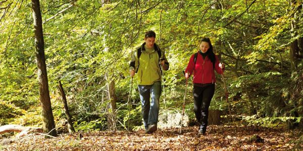
Stevige wandelschoenen en iets te drinken.
Aankomst
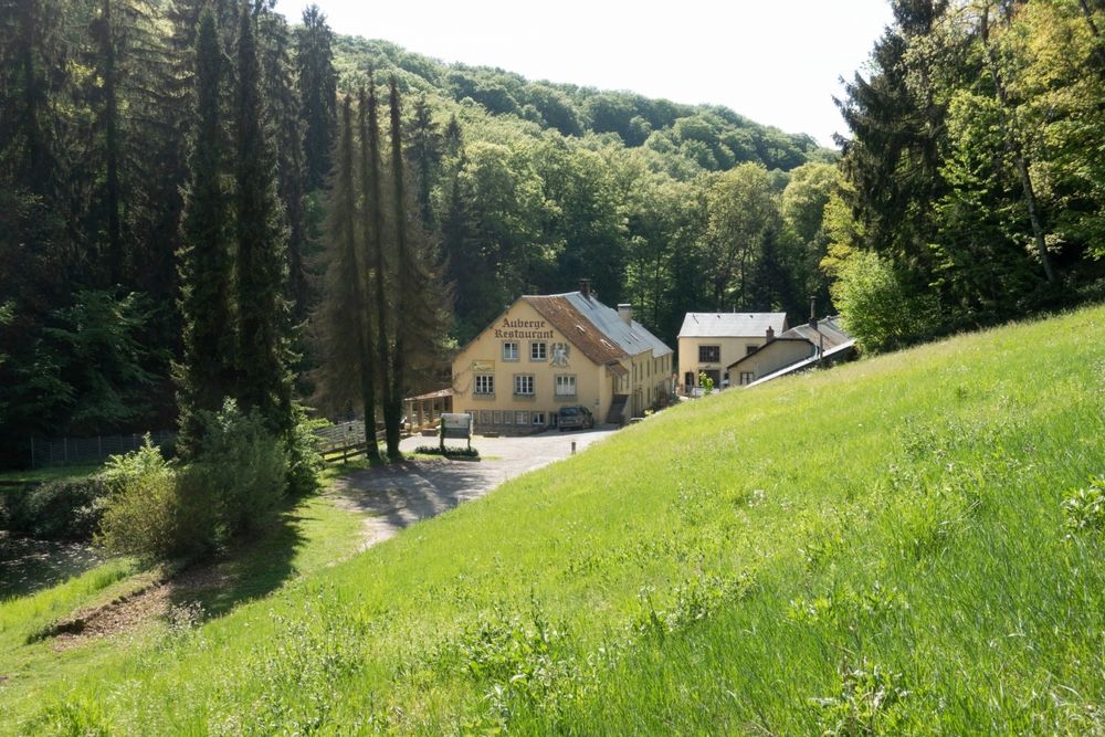
Dichtstbijzijnde bushalte: Consdorf, Konstrëfermillen (50 m)
Parking:
Dichtstbijzijnde parkeerplaats: Konstrëfermillen (50 m)

 Deze website maakt gebruik van technologie en inhoud van het Outdooractive Platform.