© Visit Luxembourg
Müllerthal Germany France

Auto-pédestre wandelroute Ermsdorf

Vertrekpunt
Ermsdorf: kerkhof
Bestemming
Ermsdorf: kerkhof
Route
6,48 km
Duur
1:50 h
moeilijkheid
makkelijk
  • Voorwaarde
  • Techniek
Hoogste punt
369 Hm
Laagste punt
241 Hm
Beklimming
190 Hm
Herkomst
190 Hm
Rondwandelroutes Visit Luxembourg

Beschrijving

Schilderachtig Stop voor verfrissingen
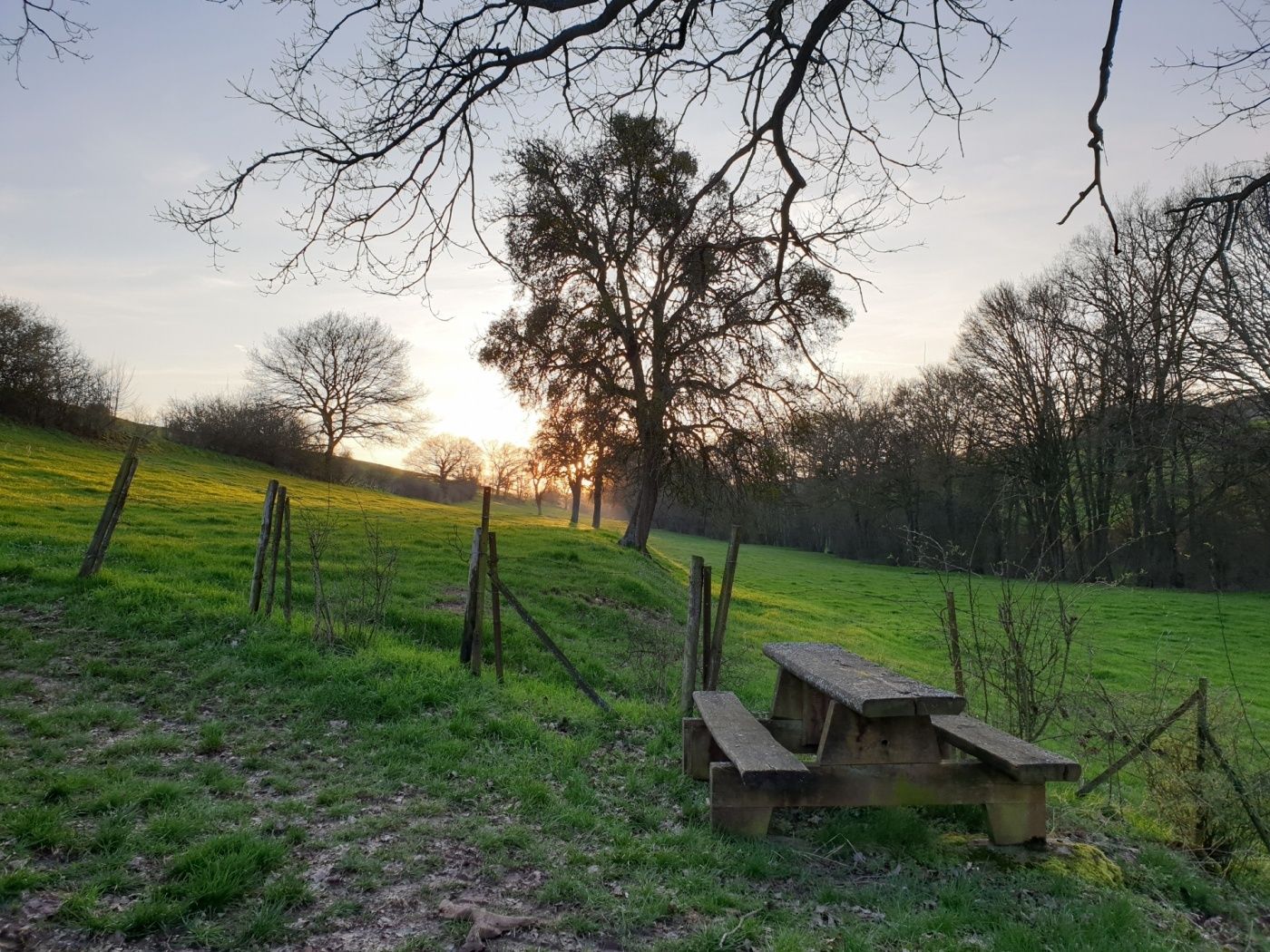
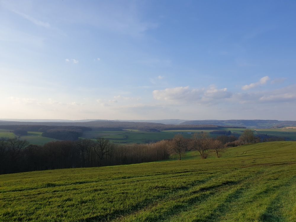
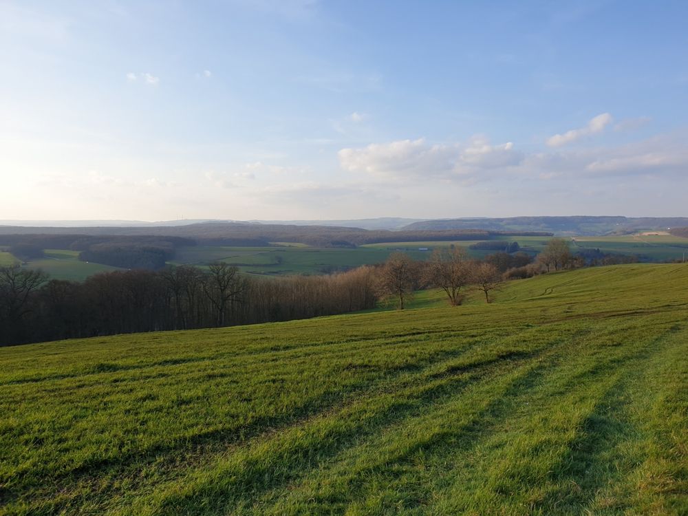
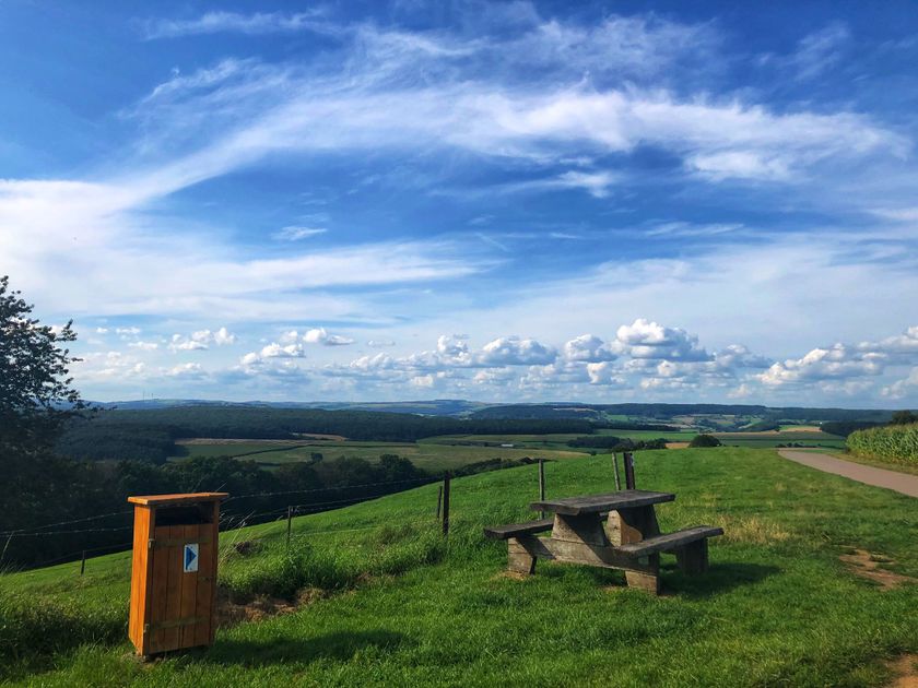
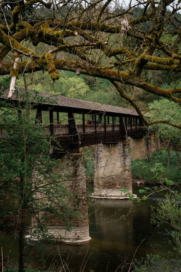
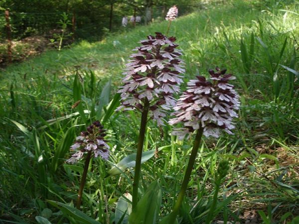
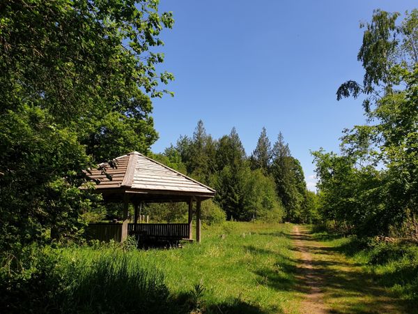
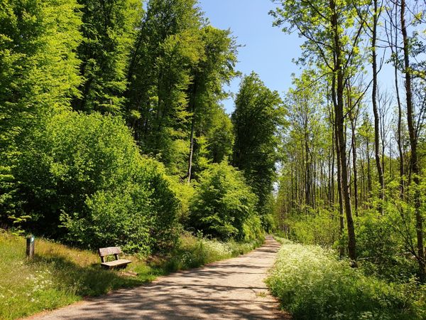
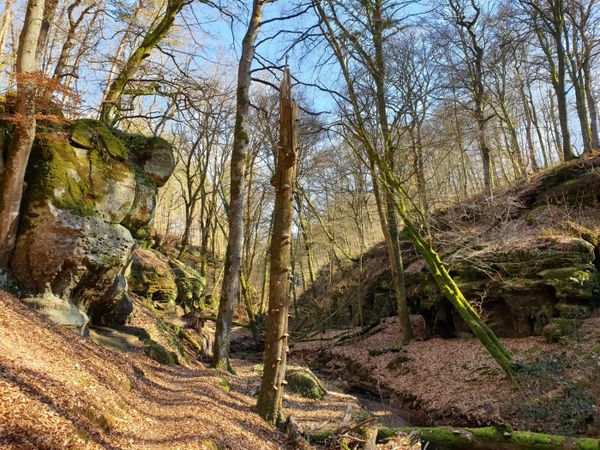
Panoramische rondwandeling die voornamelijk door open landschap voert, zodat je kunt genieten van de zon en de frisse plattelandslucht.

Dit pad, dat begint met een lichte klim door de velden, leidt je langs de heuvels tot je Op der Bëlz bereikt, voordat je terugkeert naar het startpunt voorbij de Neimillen.
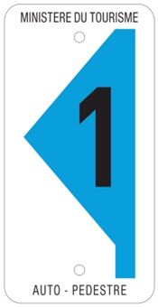
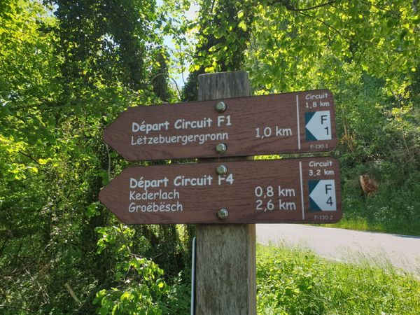
Hoogtepunten langs de tocht

Auto-pédestre wandelroute Ermsdorf

  • © Camping Neumühle
    Camping Neumühle
    Huisdieren toegelatenZwembadStellplätze für WohnmobileWifiRestaurant

Vergelijkbare wandeltochten

© Visit Luxembourg
Rondwandelroutes
Auto-pédestre wandelroute Nommern II
Afstand: 7,91 km
Duur: 2:04 h
Moeilijkheidsgraad: makkelijk
Meer informatie
© Visit Luxembourg
Thematische routes
Culturele route Rosport "In de voetsporen van de Tudors"
Afstand: 2,35 km
Duur: 1:00 h
Moeilijkheidsgraad: makkelijk
Meer informatie
Thematische routes
Cultuur rondweg "Via Epternacensis Echternach"
Afstand: 3,66 km
Duur: 2:00 h
Moeilijkheidsgraad: makkelijk
Meer informatie
© Visit Luxembourg
Thematische routes
Didactische pad over bijen tussen Waldbillig en Christnach
Afstand: 4,00 km
Duur: 1:30 h
Moeilijkheidsgraad: makkelijk
Meer informatie
© Visit Luxembourg
Thematische routes
Ierelchen Echternach - toegankelijk wandelpad met restricties
Afstand: 3,68 km
Duur: 0:58 h
Moeilijkheidsgraad: makkelijk
Meer informatie
© Visit Luxembourg
Rondwandelroutes
Lehrpfad Mensch und Stein Beaufort
Afstand: 5,83 km
Duur: 2:00 h
Moeilijkheidsgraad: makkelijk
Meer informatie
© Visit Luxembourg
Rondwandelroutes
Lokale wandelroute - B10
Afstand: 4,99 km
Duur: 1:20 h
Moeilijkheidsgraad: makkelijk
Meer informatie
© Visit Luxembourg
Rondwandelroutes
Lokale wandelroute - B11
Afstand: 2,85 km
Duur: 0:46 h
Moeilijkheidsgraad: makkelijk
Meer informatie
© Visit Luxembourg
Rondwandelroutes
Lokale wandelroute - B13
Afstand: 2,78 km
Duur: 1:00 h
Moeilijkheidsgraad: makkelijk
Meer informatie