© ORTMPSL, ORTMPSL
Müllerthal Germany France

Lokale wandelroute - B4

Jachtseizoen 2024/25 - Controleer de jachtgebieden voordat u op pad gaat

Het jachtseizoen begint midden oktober. Tot januari/februari worden in het hele land jachten georganiseerd. Controleer de locatie voordat je op wandeling gaat. Zie onze kaart voor alle details.

Klik op de kaart boven aan de pagina > meer > Services > Drijfjachten

Vertrekpunt
Beaufort: Kasteel
Bestemming
Beaufort: Kasteel
Route
6,13 km
Duur
1:49 h
moeilijkheid
medium
  • Voorwaarde
Hoogste punt
402 Hm
Laagste punt
299 Hm
Beklimming
108 Hm
Herkomst
108 Hm
Rondwandelroutes

Beschrijving

Stop voor verfrissingen
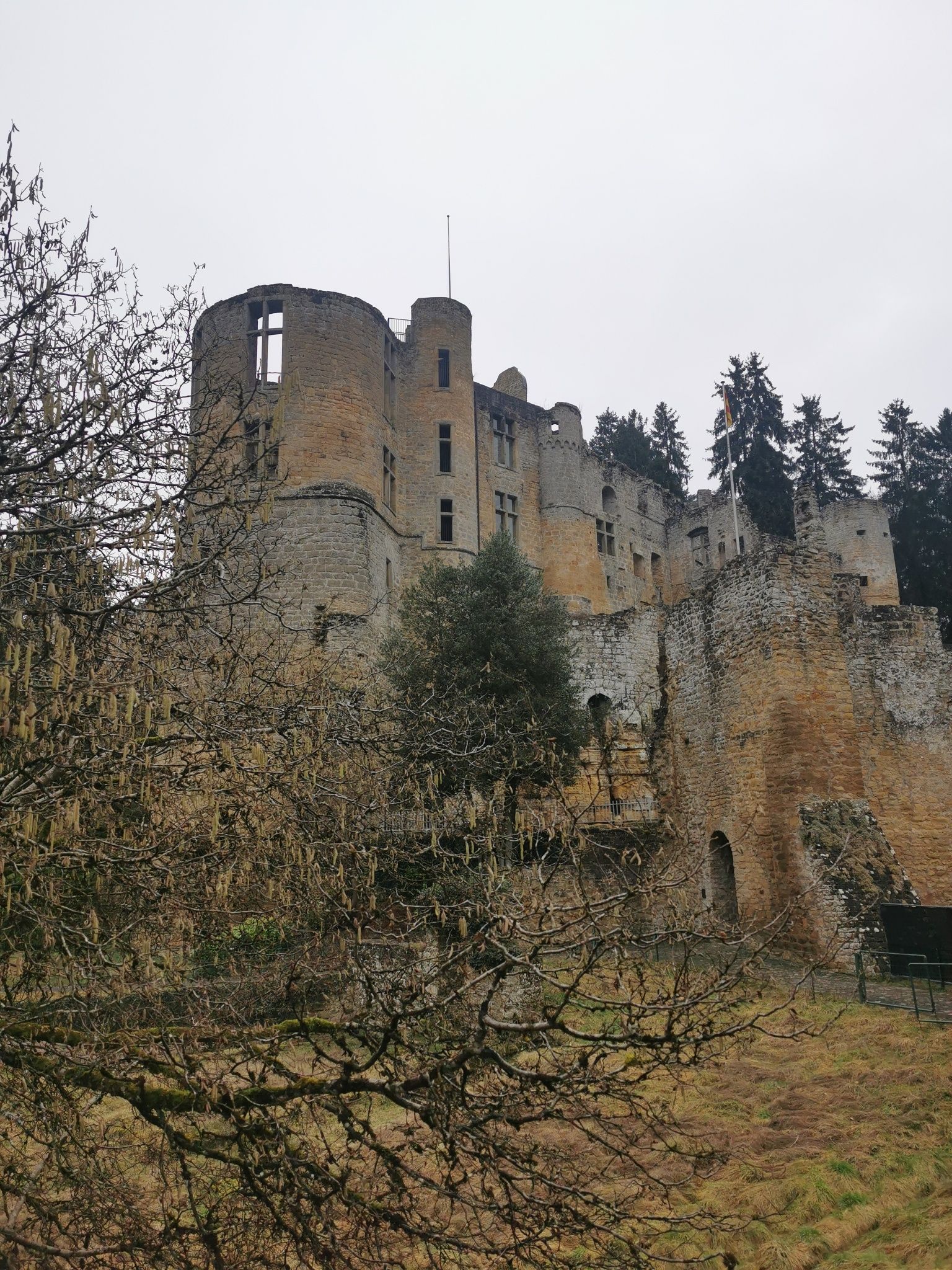
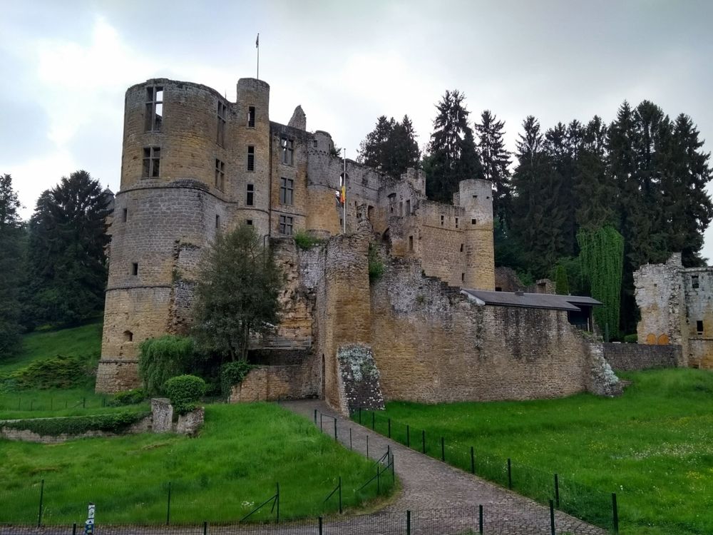
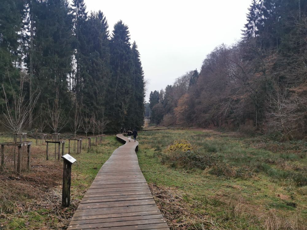
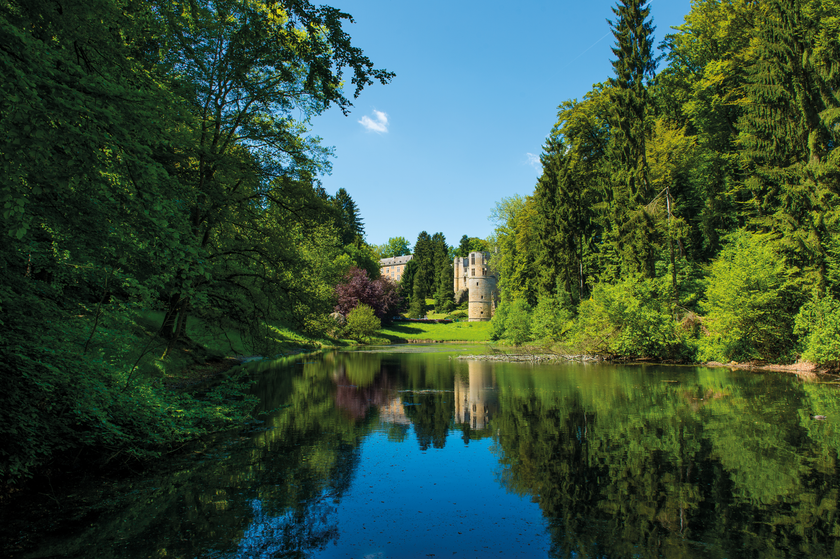
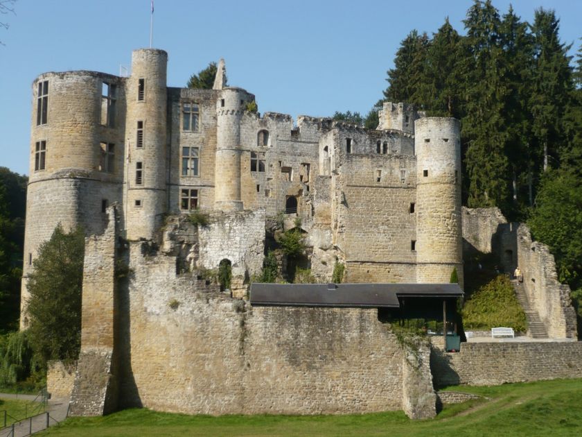
De wandeling begint bij het kasteel van Beaufort, voert langs de vijver Ale Wéier en biedt historische bezienswaardigheden.

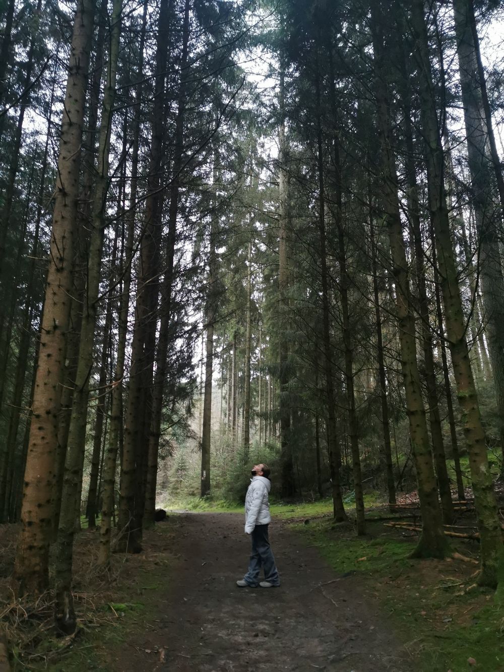
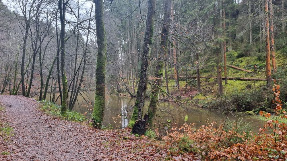
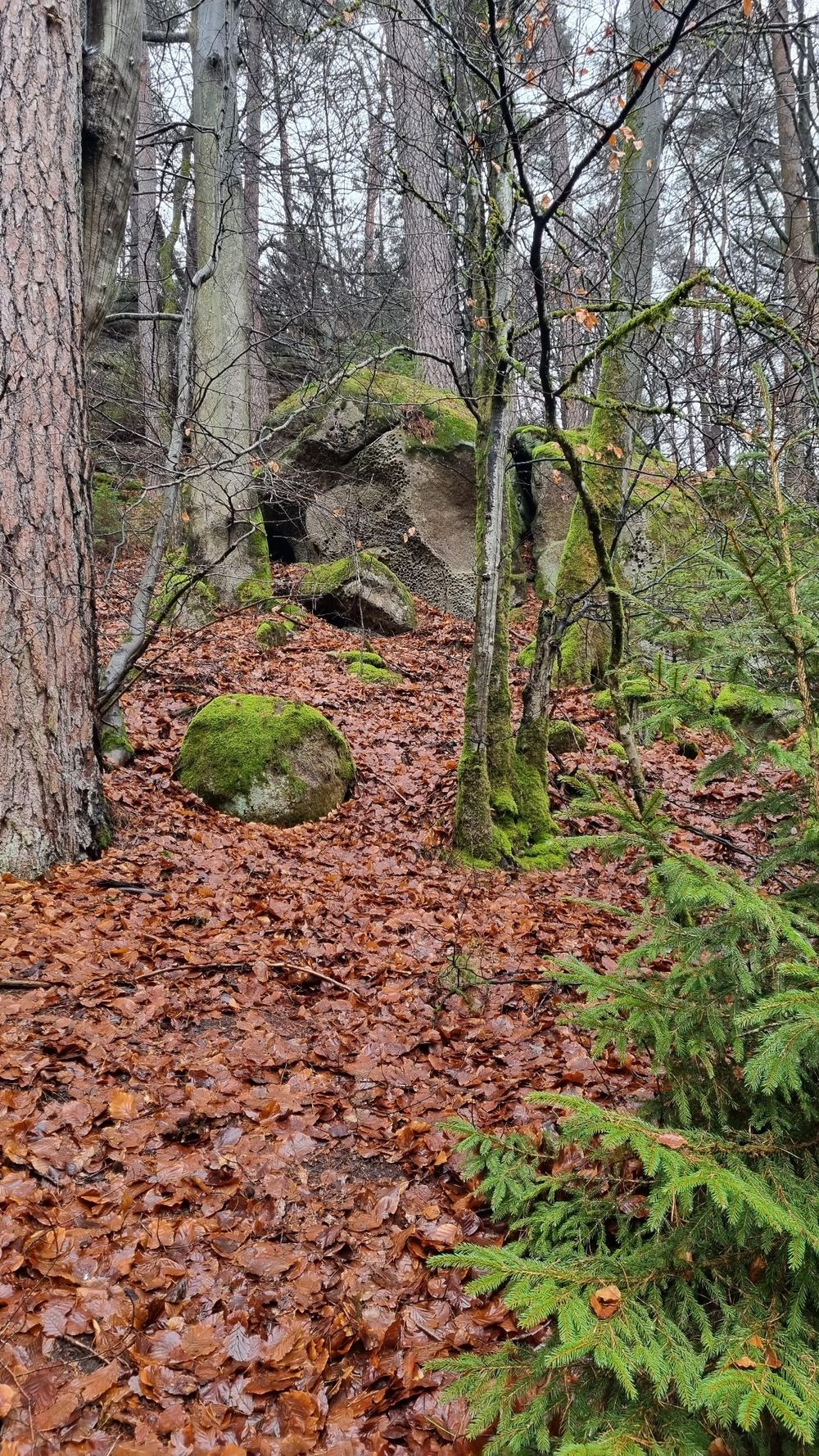
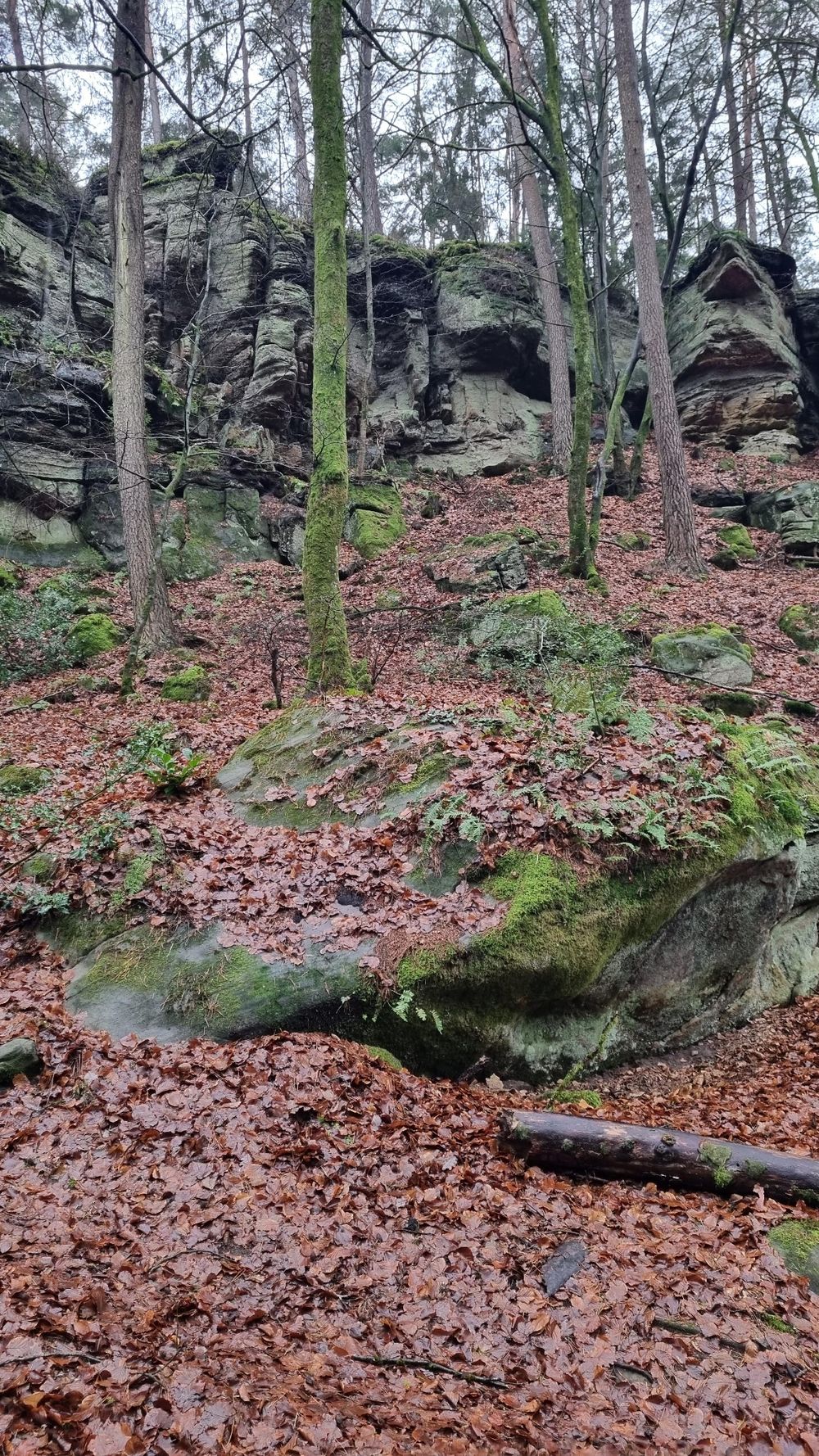
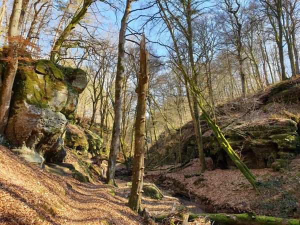
Deze wandeling door het bos begint op de rue du Château en gaat langs het Tipidorp op Camping Plage, verderop langs Aelbuerg (restanten van oude vestingwallen) en Haus Berens. Vervolgens loopt het pad terug langs de Huschbaach, Aleweier en Klingelbur, (de oude wasplaats van het kasteel van Beaufort). Hierna is het nog een klein stuk tot het beginpunt.

Hoogtepunten langs de tocht

Lokale wandelroute - B4

  • © Restaurant Hotel Meyer
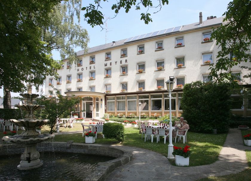
    Restaurant Meyer
    Restaurant Meyer
    Meer informatie
  • Parking - Kasteel Beaufort
    Parking - Kasteel Beaufort
    Meer informatie
  • © Restaurant de l'Auberge Rustiqu
    Restaurant l'Auberge Rustique
    Restaurant l'Auberge Rustique
    Meer informatie
  • © Camping Park Beaufort
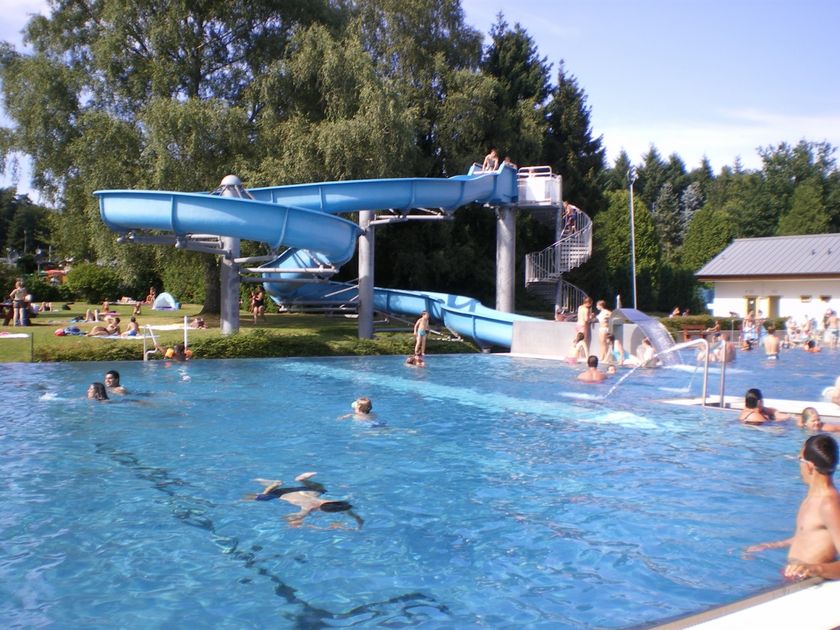
    Aqua Park Beaufort
    Openlucht zwembad Beaufort
    Meer informatie
  • © Pancake! Photographie
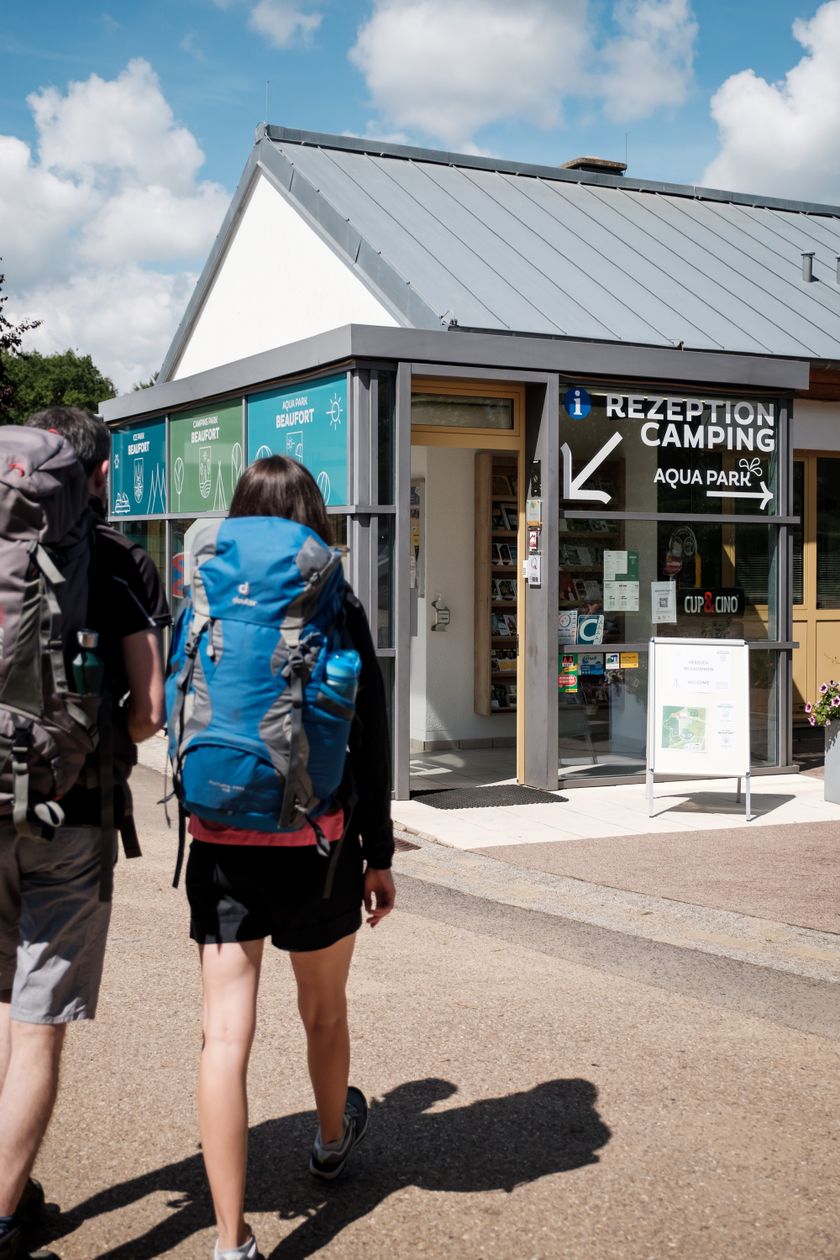
    Tourist Info Beaufort
    Tourist Info Beaufort
    Meer informatie
  • © Jos Nerancic
    gratis
    met deLuxembourgPass
    Kastelen van Beaufort
    Maak kennis met de geschiedenis van de middeleeuwse burcht en ontdek hoe de laatste bewoonster leefde in het renaissancekasteel.
    Meer informatie
  • © Kuijpers/Frameart
    Likeur van het kasteel Beaufort
    Likeur van het kasteel Beaufort
    Meer informatie

Vergelijkbare wandeltochten

© Visit Luxembourg
Rondwandelroutes
Lokale wandelroute - E8
Afstand: 6,26 km
Duur: 1:40 h
Moeilijkheidsgraad: medium
Meer informatie
© Visit Luxembourg
Rondwandelroutes
Lokale wandelroute - W1
Afstand: 6,81 km
Duur: 1:47 h
Moeilijkheidsgraad: medium
Meer informatie
© Visit Luxembourg
Thematische routes
Remembrance Walk
Afstand: 20,46 km
Duur: 5:40 h
Moeilijkheidsgraad: medium
Meer informatie
© Visit Luxembourg
Mullerthal Trail - Leading Quality Trails - Best of Europe
Mullerthal Trail ExtraTour C
Afstand: 9,34 km
Duur: 2:45 h
Moeilijkheidsgraad: medium
Meer informatie
© Visit Luxembourg
Mullerthal Trail - Leading Quality Trails - Best of Europe
Mullerthal Trail ExtraTour D
Afstand: 31,41 km
Duur: 8:45 h
Moeilijkheidsgraad: medium
Meer informatie
© F. Kliem, Visit Luxembourg
Mullerthal Trail - Leading Quality Trails - Best of Europe
Mullerthal Trail ExtraTour A
Afstand: 22,75 km
Duur: 6:50 h
Moeilijkheidsgraad: medium
Meer informatie
© Visit Luxembourg
Mullerthal Trail - Leading Quality Trails - Best of Europe
Mullerthal Trail ExtraTour B
Afstand: 12,98 km
Duur: 3:45 h
Moeilijkheidsgraad: medium
Meer informatie
© Pancake! Photographie, Visit Luxembourg
Mullerthal Trail - Leading Quality Trails - Best of Europe
Mullerthal Trail Route 1
Afstand: 36,74 km
Duur: 10:25 h
Moeilijkheidsgraad: medium
Meer informatie
© Pancake! Photographie, Visit Luxembourg
Mullerthal Trail - Leading Quality Trails - Best of Europe
Mullerthal Trail Route 3
Afstand: 37,89 km
Duur: 11:15 h
Moeilijkheidsgraad: medium
Meer informatie