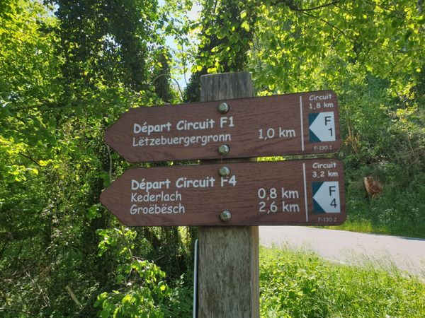
© Visit Luxembourg
Müllerthal Germany France

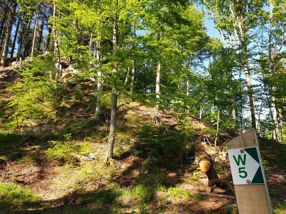
Lokale wandelroute - W5

Jachtseizoen 2024/25 - Controleer de jachtgebieden voordat u op pad gaat

Het jachtseizoen begint midden oktober. Tot januari/februari worden in het hele land jachten georganiseerd. Controleer de locatie voordat je op wandeling gaat. Zie onze kaart voor alle details.

Klik op de kaart boven aan de pagina > meer > Services > Drijfjachten

Vertrekpunt
Haller: Parking Rue du Hallerbach
Bestemming
Haller: Parking Rue du Hallerbach
Route
10,10 km
Duur
2:55 h
moeilijkheid
medium
  • Voorwaarde
Hoogste punt
360 Hm
Laagste punt
185 Hm
Beklimming
213 Hm
Herkomst
213 Hm
Rondwandelroutes Visit Luxembourg

Beschrijving

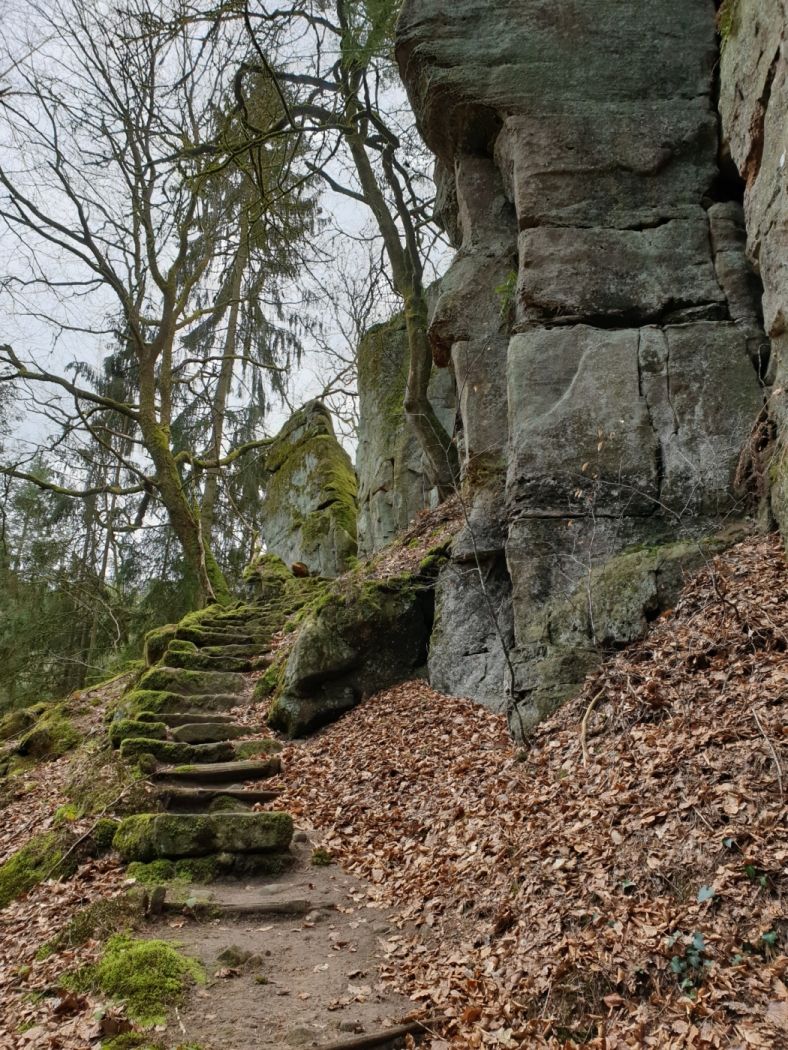
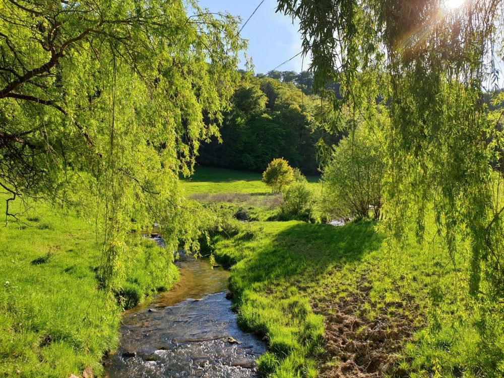
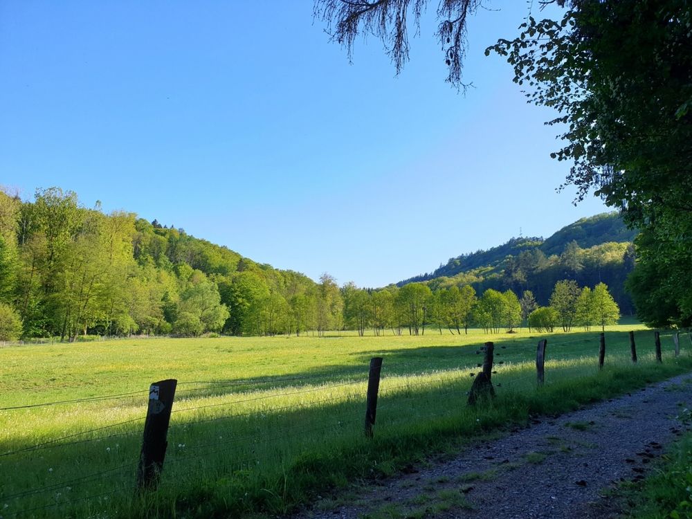
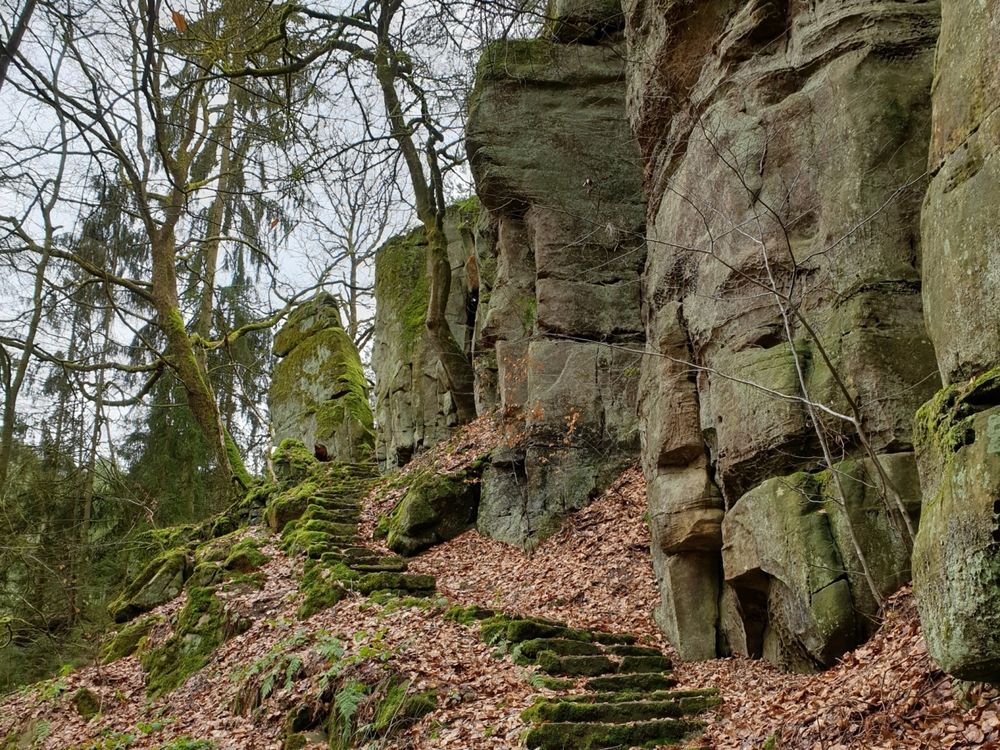
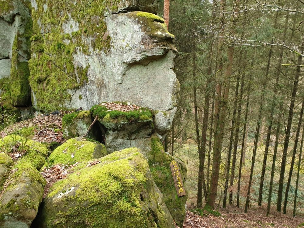
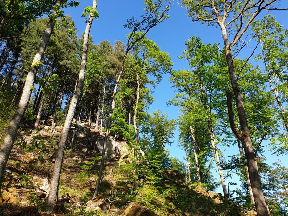
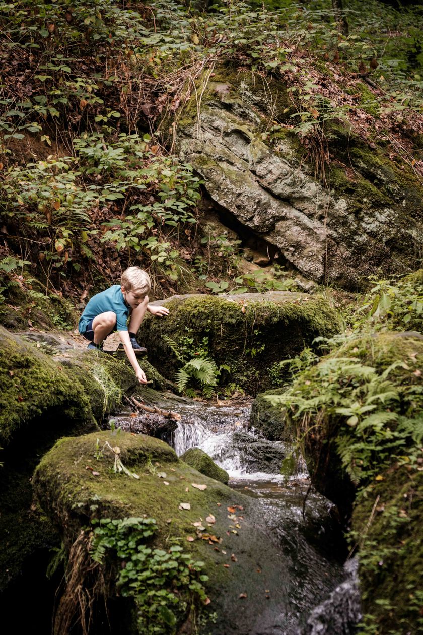
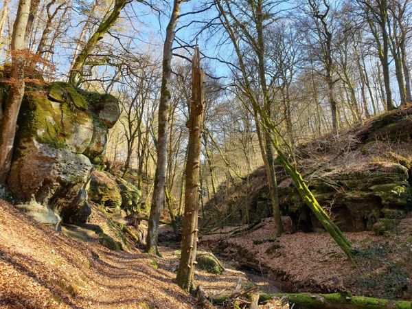
Gevarieerde tocht langs het riviertje de Zwarte Ernz - één van de meest karakteristieke beekjes in de regio - en langs spectaculaire rotsformaties.

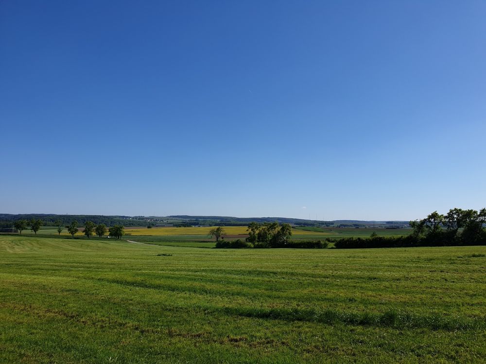
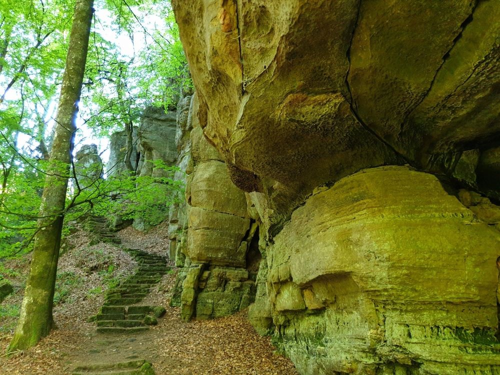
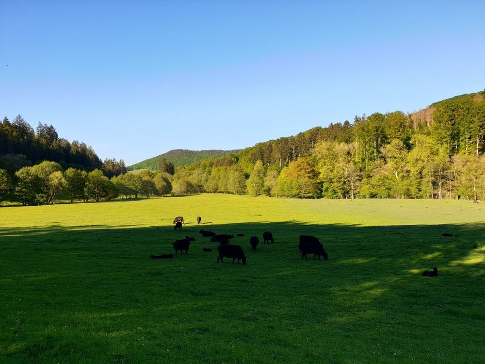
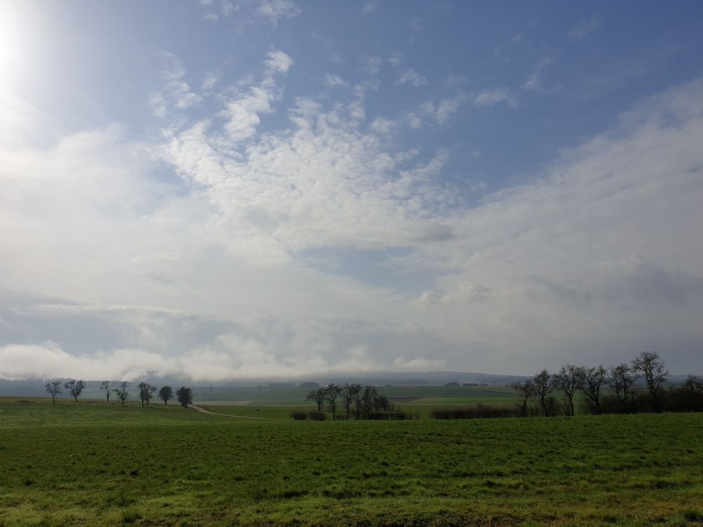
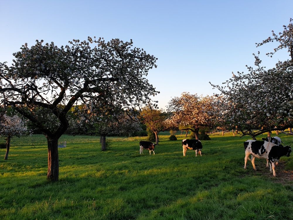
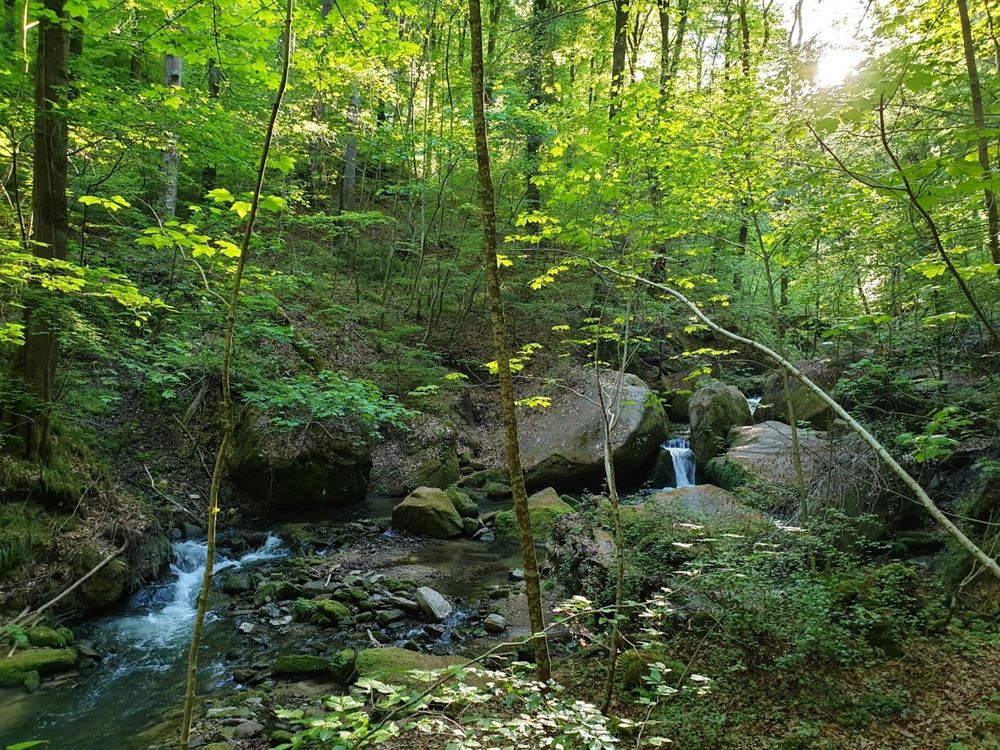
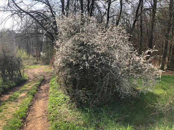
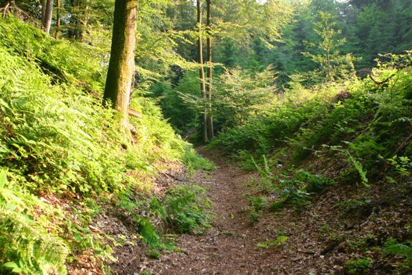
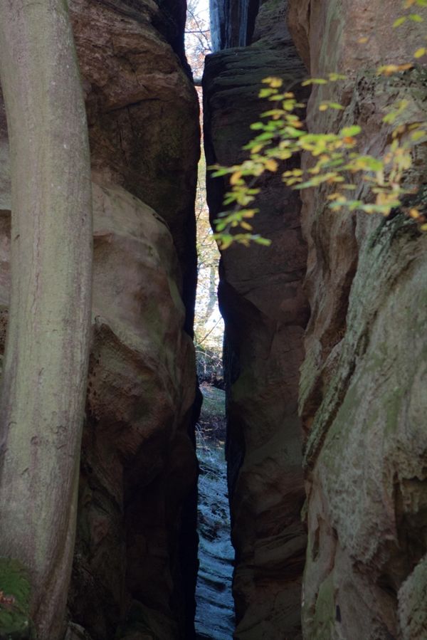
Vanaf de parkeerplaats aan de rand van Haller leidt dit 10 km lange wandelpad eerst op een lange afdaling door weilanden en bossen in de vallei van de Zwarte Ernz. Met een beetje geluk ziet men het beroemde Black Angus-vee langs de weg, gewaardeerd door vleesliefhebbers tot ver buiten de grenzen van de regio. Door de prachtige vallei van de Halerbaach met zijn indrukwekkende rotsen langs de beek, keert men uiteindelijk terug naar het startpunt.

Hoogtepunten langs de tocht

Lokale wandelroute - W5

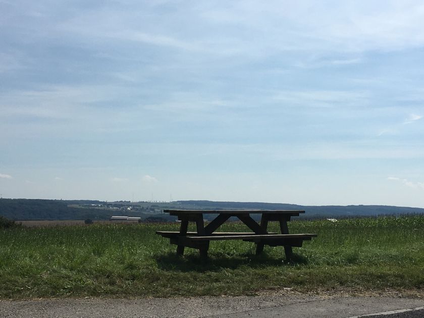
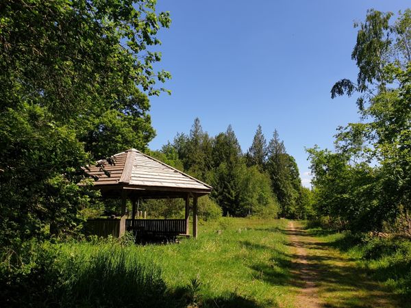
  • Picknickplaats Haller
    Picknickplaats Haller
    Meer informatie
  • © PANCAKE! Photographie
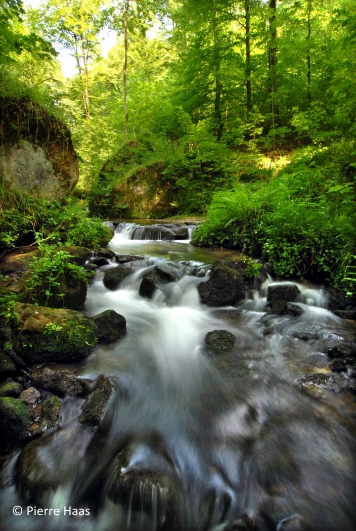
    Valleien „Haupeschbaach en Halerbaach“
    Wandeling langs de wild romantische, borrelende stroompjes Haupeschbaach en Halerbaach
    Meer informatie

Vergelijkbare wandeltochten

© Visit Luxembourg
Rondwandelroutes
Lokale wandelroute - E8
Afstand: 6,26 km
Duur: 1:40 h
Moeilijkheidsgraad: medium
Meer informatie
© Visit Luxembourg
Rondwandelroutes
Lokale wandelroute - W1
Afstand: 6,81 km
Duur: 1:47 h
Moeilijkheidsgraad: medium
Meer informatie
© Visit Luxembourg
Thematische routes
Remembrance Walk
Afstand: 20,46 km
Duur: 5:40 h
Moeilijkheidsgraad: medium
Meer informatie
© Visit Luxembourg
Mullerthal Trail - Leading Quality Trails - Best of Europe
Mullerthal Trail ExtraTour C
Afstand: 9,34 km
Duur: 2:45 h
Moeilijkheidsgraad: medium
Meer informatie
© Visit Luxembourg
Mullerthal Trail - Leading Quality Trails - Best of Europe
Mullerthal Trail ExtraTour D
Afstand: 31,41 km
Duur: 8:45 h
Moeilijkheidsgraad: medium
Meer informatie
© F. Kliem, Visit Luxembourg
Mullerthal Trail - Leading Quality Trails - Best of Europe
Mullerthal Trail ExtraTour A
Afstand: 22,75 km
Duur: 6:50 h
Moeilijkheidsgraad: medium
Meer informatie
© Visit Luxembourg
Mullerthal Trail - Leading Quality Trails - Best of Europe
Mullerthal Trail ExtraTour B
Afstand: 12,98 km
Duur: 3:45 h
Moeilijkheidsgraad: medium
Meer informatie
© Pancake! Photographie, Visit Luxembourg
Mullerthal Trail - Leading Quality Trails - Best of Europe
Mullerthal Trail Route 1
Afstand: 36,74 km
Duur: 10:25 h
Moeilijkheidsgraad: medium
Meer informatie
© Pancake! Photographie, Visit Luxembourg
Mullerthal Trail - Leading Quality Trails - Best of Europe
Mullerthal Trail Route 3
Afstand: 37,89 km
Duur: 11:15 h
Moeilijkheidsgraad: medium
Meer informatie