© L. Schömer, Visit Luxembourg
Müllerthal Germany France

Auto-pédestre wandelroute Bollendorf-Pont

Jachtseizoen 2024/25 - Controleer de jachtgebieden voordat u op pad gaat

Het jachtseizoen begint midden oktober. Tot januari/februari worden in het hele land jachten georganiseerd. Controleer de locatie voordat je op wandeling gaat. Zie onze kaart voor alle details. Kaart > meer > Services > Drijfjachten

Vertrekpunt
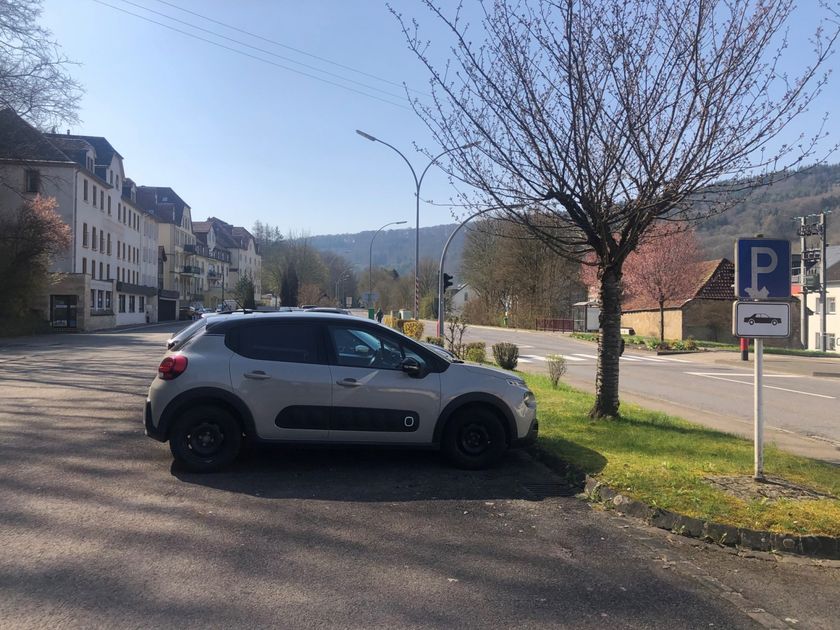
Bollendorf-Pont: Parking Route de Diekirch/ CR 369
Bestemming
Bollendorf-Pont: Parking Route de Diekirch/ CR 369
Route
8,36 km
Duur
2:32 h
moeilijkheid
medium
  • Voorwaarde
Hoogste punt
365 Hm
Laagste punt
161 Hm
Beklimming
205 Hm
Herkomst
205 Hm
Rondwandelroutes Visit Luxembourg

Beschrijving

Stop voor verfrissingen
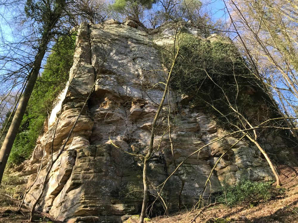
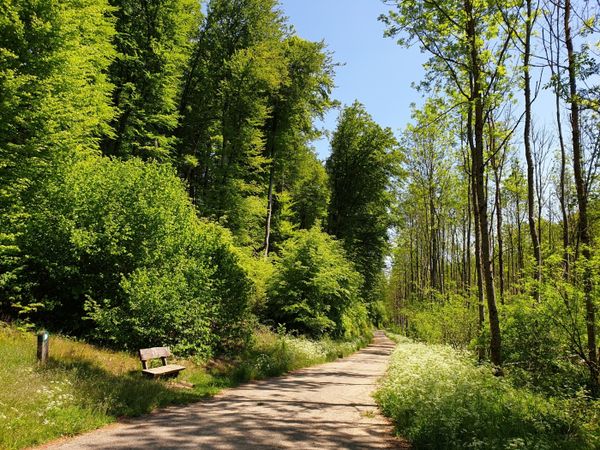
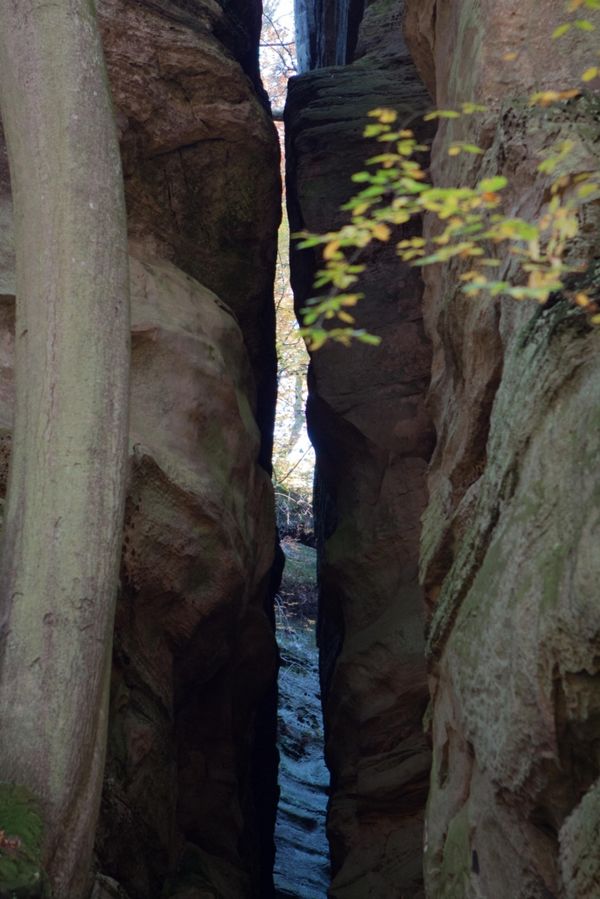
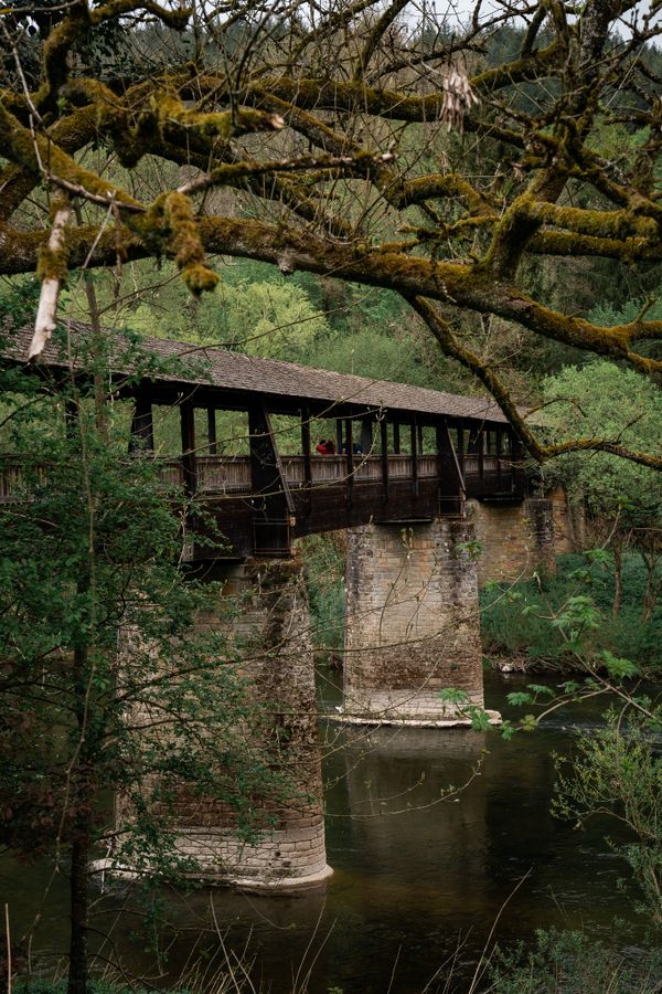
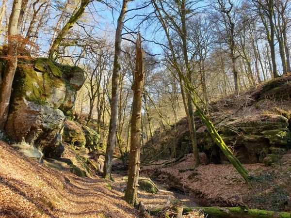
Deze deels sportieve rondwandeling biedt zowel spannende rotsformaties als het ontspannende effect van het water langs de Sûre.

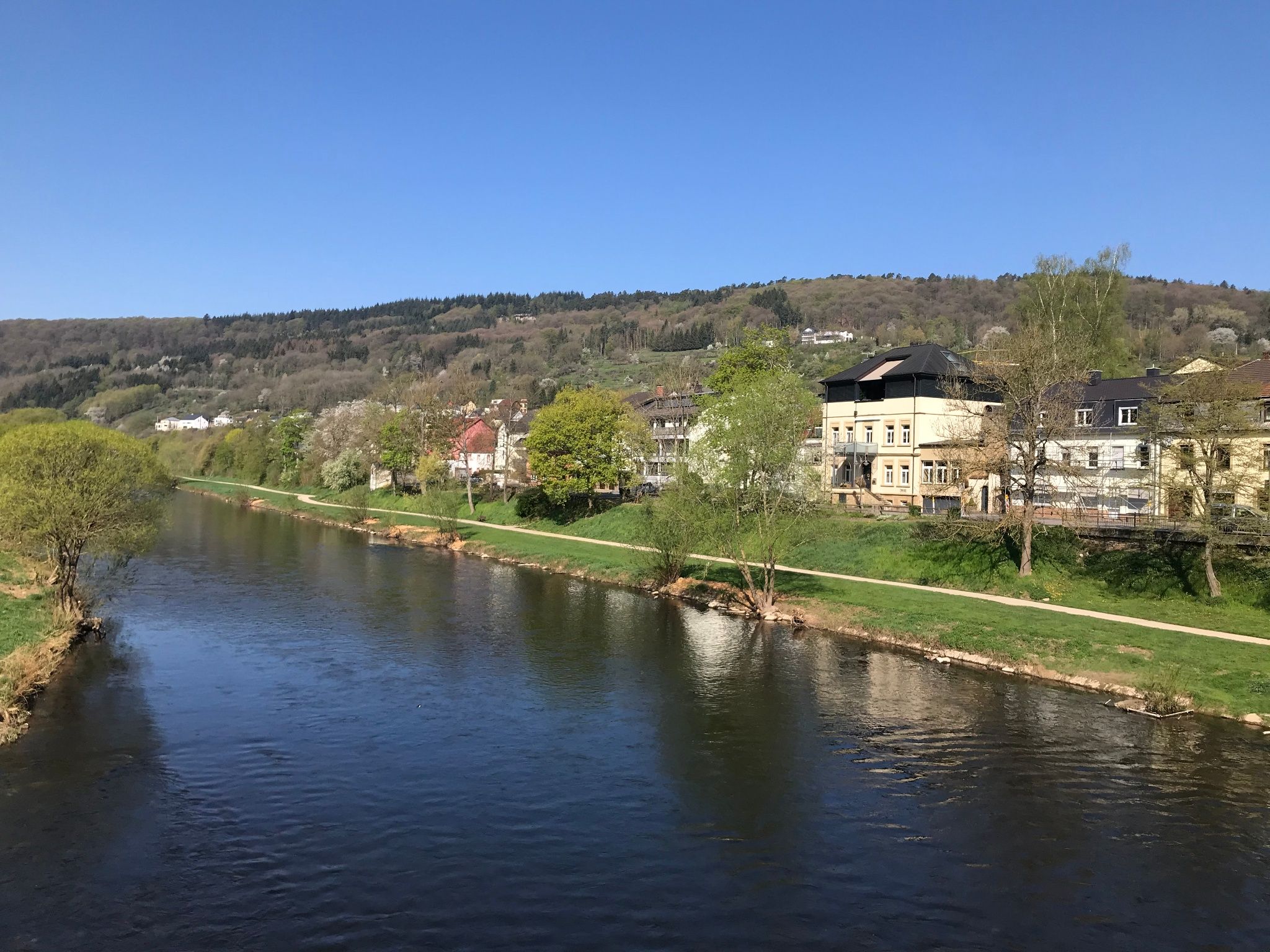
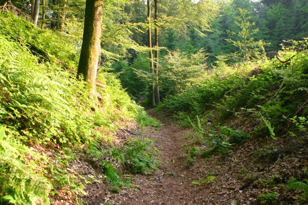
Deze route begint bij de N10 (parkeerplaats) met een steile klim het bos in, waarbij je een prachtig uitzicht hebt op de vallei van de Sûre. Eenmaal in het bos wachten de wandelaar een paar kilometer lang spectaculaire rotsformaties voordat hij weer afdaalt in de vallei van de Sûre. Vanaf hier loopt het pad aangenaam vlak langs de Sûre, met prachtige uitzichten op de overkant terug naar het startpunt.


Om deze video van derden te bekijken, moet je de cookies accepteren.

Hoogtepunten langs de tocht

Auto-pédestre wandelroute Bollendorf-Pont

  • Parking - Bollendorf
    Parking - Bollendorf
    Meer informatie
  • © Gaul’s Legacy Tours
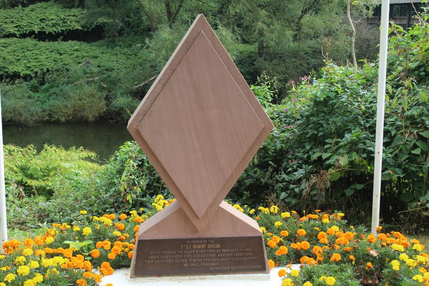
    Monument van de Amerikaanse veteranen
    Dit monument herdenkt de oversteek van de rivier de Sûre door de US 5th Infantry Division in de Tweede Wereldoorlog
    Meer informatie

Vergelijkbare wandeltochten

© Visit Luxembourg
Rondwandelroutes
Lokale wandelroute - E8
Afstand: 6,26 km
Duur: 1:40 h
Moeilijkheidsgraad: medium
Meer informatie
© Visit Luxembourg
Rondwandelroutes
Lokale wandelroute - W1
Afstand: 6,81 km
Duur: 1:47 h
Moeilijkheidsgraad: medium
Meer informatie
© Visit Luxembourg
Thematische routes
Remembrance Walk
Afstand: 20,46 km
Duur: 5:40 h
Moeilijkheidsgraad: medium
Meer informatie
© Visit Luxembourg
Mullerthal Trail - Leading Quality Trails - Best of Europe
Mullerthal Trail ExtraTour C
Afstand: 9,34 km
Duur: 2:45 h
Moeilijkheidsgraad: medium
Meer informatie
© Pancake! Photographie, Visit Luxembourg
Mullerthal Trail - Leading Quality Trails - Best of Europe
Mullerthal Trail Route 2
Afstand: 38,83 km
Duur: 12:40 h
Moeilijkheidsgraad: medium
Meer informatie
© Visit Luxembourg
Mullerthal Trail - Leading Quality Trails - Best of Europe
Mullerthal Trail ExtraTour D
Afstand: 31,41 km
Duur: 8:45 h
Moeilijkheidsgraad: medium
Meer informatie
© F. Kliem, Visit Luxembourg
Mullerthal Trail - Leading Quality Trails - Best of Europe
Mullerthal Trail ExtraTour A
Afstand: 22,75 km
Duur: 6:50 h
Moeilijkheidsgraad: medium
Meer informatie
© Visit Luxembourg
Mullerthal Trail - Leading Quality Trails - Best of Europe
Mullerthal Trail ExtraTour B
Afstand: 12,98 km
Duur: 3:45 h
Moeilijkheidsgraad: medium
Meer informatie
© Pancake! Photographie, Visit Luxembourg
Mullerthal Trail - Leading Quality Trails - Best of Europe
Mullerthal Trail Route 1
Afstand: 36,74 km
Duur: 10:25 h
Moeilijkheidsgraad: medium
Meer informatie